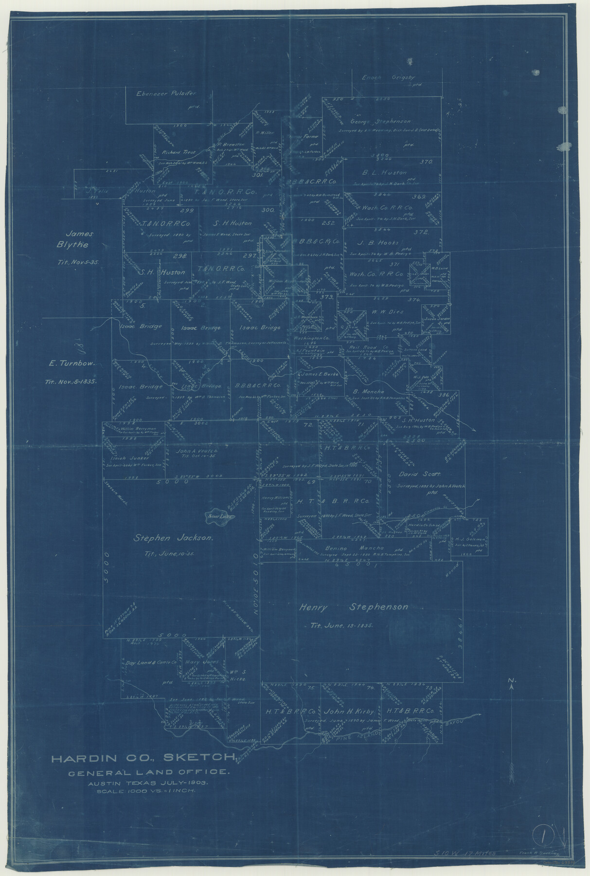
Hardin County Working Sketch 1
-
Map/Doc
63399
-
Collection
General Map Collection
-
Object Dates
7/1903 (Creation Date)
-
People and Organizations
Frank R. Sweeney (Draftsman)
-
Counties
Hardin
-
Subjects
Surveying Working Sketch
-
Height x Width
27.8 x 18.7 inches
70.6 x 47.5 cm
-
Scale
1" = 1000 varas
Part of: General Map Collection
Bandera County Working Sketch 19

Print $20.00
- Digital $50.00
Bandera County Working Sketch 19
1946
Size 43.3 x 35.8 inches
Map/Doc 67615
Blanco County Sketch File 32

Print $4.00
- Digital $50.00
Blanco County Sketch File 32
1888
Size 8.5 x 11.1 inches
Map/Doc 14633
Controlled Mosaic by Jack Amman Photogrammetric Engineers, Inc - Sheet 8

Print $20.00
- Digital $50.00
Controlled Mosaic by Jack Amman Photogrammetric Engineers, Inc - Sheet 8
1954
Size 20.0 x 24.0 inches
Map/Doc 83452
Oldham County Sketch File 12

Print $20.00
- Digital $50.00
Oldham County Sketch File 12
Size 20.0 x 20.1 inches
Map/Doc 12113
Cooke County Working Sketch 34

Print $20.00
- Digital $50.00
Cooke County Working Sketch 34
1984
Size 41.7 x 38.0 inches
Map/Doc 68271
Texas Intracoastal Waterway - Stover Point to Port Brownsville including Brazos Santiago

Print $20.00
- Digital $50.00
Texas Intracoastal Waterway - Stover Point to Port Brownsville including Brazos Santiago
1957
Size 27.6 x 38.9 inches
Map/Doc 73518
Pecos County Working Sketch 77

Print $20.00
- Digital $50.00
Pecos County Working Sketch 77
1959
Size 32.0 x 36.4 inches
Map/Doc 71549
Atascosa County Sketch File 36

Print $20.00
- Digital $50.00
Atascosa County Sketch File 36
1947
Size 16.0 x 22.3 inches
Map/Doc 10867
Right of Way and Track Map, the Missouri, Kansas & Texas Ry. Of Texas operated by the Missouri, Kansas & Texas Ry. Of Texas, Houston Division

Print $40.00
- Digital $50.00
Right of Way and Track Map, the Missouri, Kansas & Texas Ry. Of Texas operated by the Missouri, Kansas & Texas Ry. Of Texas, Houston Division
1918
Size 25.6 x 64.4 inches
Map/Doc 64566
Map of Texas from the most recent authorities

Print $20.00
- Digital $50.00
Map of Texas from the most recent authorities
1845
Map/Doc 93945
Motley County Sketch File 3 (N)

Print $22.00
- Digital $50.00
Motley County Sketch File 3 (N)
Size 9.1 x 13.0 inches
Map/Doc 31998
La Salle County Sketch File 49

Print $20.00
- Digital $50.00
La Salle County Sketch File 49
1942
Size 47.7 x 14.9 inches
Map/Doc 10519
You may also like
Angelina County Sketch File 30

Print $40.00
- Digital $50.00
Angelina County Sketch File 30
1920
Size 24.5 x 32.7 inches
Map/Doc 10818
Robertson Co.

Print $20.00
- Digital $50.00
Robertson Co.
1945
Size 47.9 x 39.0 inches
Map/Doc 63004
Kent County Working Sketch 20

Print $40.00
- Digital $50.00
Kent County Working Sketch 20
1980
Size 50.7 x 44.1 inches
Map/Doc 70027
Map of the Surveyed Part of Young District

Print $40.00
- Digital $50.00
Map of the Surveyed Part of Young District
1860
Size 56.2 x 54.7 inches
Map/Doc 1986
Flight Mission No. BQR-9K, Frame 6, Brazoria County

Print $20.00
- Digital $50.00
Flight Mission No. BQR-9K, Frame 6, Brazoria County
1952
Size 18.7 x 22.4 inches
Map/Doc 84035
General Highway Map. Detail of Cities and Towns in Harris County, Texas

Print $20.00
General Highway Map. Detail of Cities and Towns in Harris County, Texas
1939
Size 18.2 x 24.9 inches
Map/Doc 79119
Bee County Sketch File 1

Print $4.00
- Digital $50.00
Bee County Sketch File 1
Size 8.0 x 9.5 inches
Map/Doc 14257
Nueces County Sketch File 20

Print $8.00
- Digital $50.00
Nueces County Sketch File 20
1881
Size 10.7 x 8.1 inches
Map/Doc 32553
Val Verde County Sketch File Z9

Print $20.00
- Digital $50.00
Val Verde County Sketch File Z9
1891
Size 15.9 x 24.8 inches
Map/Doc 12554
Hamilton County Working Sketch 26

Print $20.00
- Digital $50.00
Hamilton County Working Sketch 26
1964
Size 22.8 x 29.6 inches
Map/Doc 63364
Reeves County

Print $20.00
- Digital $50.00
Reeves County
1945
Size 46.4 x 37.3 inches
Map/Doc 77406
Burnet County Boundary File 12

Print $14.00
- Digital $50.00
Burnet County Boundary File 12
Size 8.2 x 6.0 inches
Map/Doc 50949