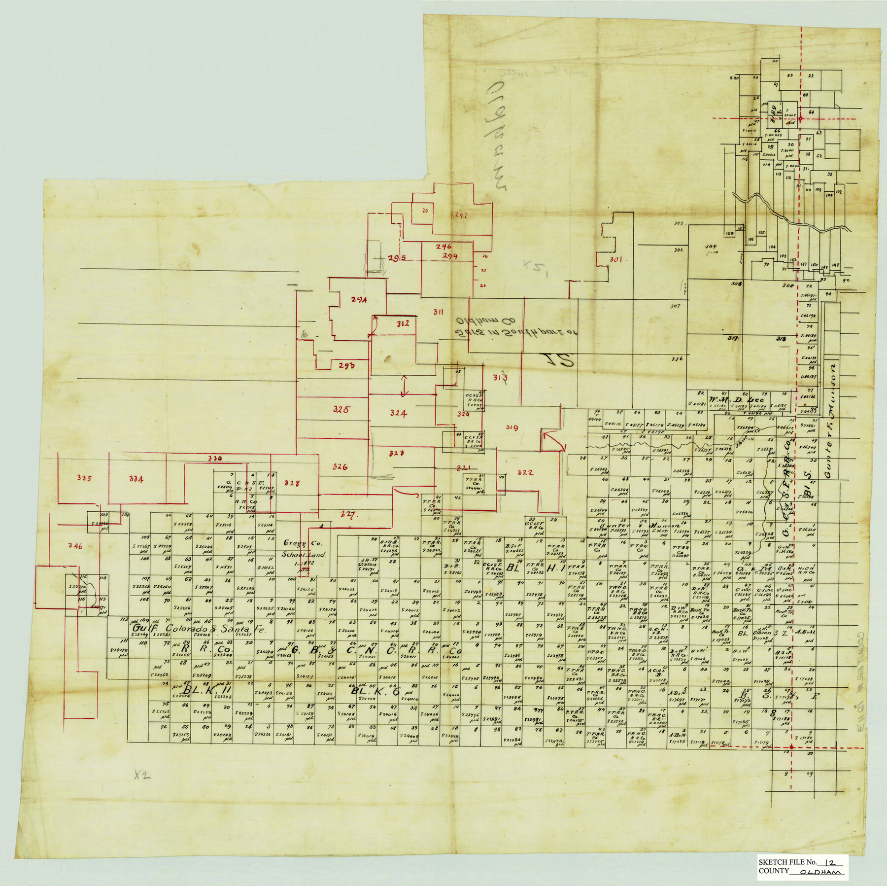
Oldham County Sketch File 12
[Sketch of surveys in the south part of Oldham County]
-
Map/Doc
12113
-
Collection
General Map Collection
-
Counties
Oldham
-
Subjects
Surveying Sketch File
-
Height x Width
20.0 x 20.1 inches
50.8 x 51.1 cm
-
Medium
paper, manuscript
-
Features
Stone Creek
Part of: General Map Collection
Fort Bend County Working Sketch 8

Print $20.00
- Digital $50.00
Fort Bend County Working Sketch 8
1922
Size 24.9 x 17.6 inches
Map/Doc 69214
Terry County Rolled Sketch 2

Print $20.00
- Digital $50.00
Terry County Rolled Sketch 2
1908
Size 25.5 x 36.8 inches
Map/Doc 7980
Map of the River Sabine from its mouth on the Gulf of Mexico in the sea to Logan's Ferry in latitude 31° 58' 24" north

Print $20.00
- Digital $50.00
Map of the River Sabine from its mouth on the Gulf of Mexico in the sea to Logan's Ferry in latitude 31° 58' 24" north
1842
Size 18.3 x 9.3 inches
Map/Doc 65383
Presidio County Boundary File 2

Print $8.00
- Digital $50.00
Presidio County Boundary File 2
Size 14.0 x 8.6 inches
Map/Doc 58054
Flight Mission No. CRK-3P, Frame 69, Refugio County

Print $20.00
- Digital $50.00
Flight Mission No. CRK-3P, Frame 69, Refugio County
1956
Size 18.5 x 22.2 inches
Map/Doc 86911
Zavala County Working Sketch 30

Print $20.00
- Digital $50.00
Zavala County Working Sketch 30
1989
Size 36.8 x 28.1 inches
Map/Doc 62105
Ward County Rolled Sketch 14

Print $20.00
- Digital $50.00
Ward County Rolled Sketch 14
1940
Size 18.5 x 26.2 inches
Map/Doc 8157
Uvalde County Sketch File 29

Print $8.00
- Digital $50.00
Uvalde County Sketch File 29
1873
Size 13.0 x 8.3 inches
Map/Doc 39028
Trinity County Rolled Sketch 4

Print $20.00
- Digital $50.00
Trinity County Rolled Sketch 4
1948
Size 38.5 x 42.4 inches
Map/Doc 10026
Presidio County Working Sketch 55

Print $20.00
- Digital $50.00
Presidio County Working Sketch 55
1955
Size 22.0 x 16.9 inches
Map/Doc 71732
Pecos County Rolled Sketch 191

Print $20.00
- Digital $50.00
Pecos County Rolled Sketch 191
Size 18.2 x 27.4 inches
Map/Doc 95397
Energy Map of Texas

Print $20.00
- Digital $50.00
Energy Map of Texas
2020
Size 36.0 x 36.0 inches
Map/Doc 96436
You may also like
Harris County Rolled Sketch WDC

Print $40.00
- Digital $50.00
Harris County Rolled Sketch WDC
1936
Size 42.7 x 68.4 inches
Map/Doc 9126

Trinity County Sketch File 33A

Print $6.00
- Digital $50.00
Trinity County Sketch File 33A
1920
Size 6.5 x 6.8 inches
Map/Doc 38575
Edwards County Working Sketch Graphic Index - east part - sheet 2

Print $40.00
- Digital $50.00
Edwards County Working Sketch Graphic Index - east part - sheet 2
1975
Size 54.7 x 39.8 inches
Map/Doc 76534
Oldham County Working Sketch 4

Print $20.00
- Digital $50.00
Oldham County Working Sketch 4
1948
Size 28.8 x 26.2 inches
Map/Doc 71326
Eastland County Working Sketch 64

Print $40.00
- Digital $50.00
Eastland County Working Sketch 64
1983
Size 43.3 x 68.4 inches
Map/Doc 88891
Polk County Sketch File 24

Print $20.00
- Digital $50.00
Polk County Sketch File 24
Size 14.3 x 30.8 inches
Map/Doc 12193
Navarro County

Print $40.00
- Digital $50.00
Navarro County
1924
Size 42.5 x 49.0 inches
Map/Doc 95599
[I. & G. N. Block 1, Secs. 65-75]
![90307, [I. & G. N. Block 1, Secs. 65-75], Twichell Survey Records](https://historictexasmaps.com/wmedia_w700/maps/90307-1.tif.jpg)
Print $20.00
- Digital $50.00
[I. & G. N. Block 1, Secs. 65-75]
1928
Size 22.0 x 18.0 inches
Map/Doc 90307
[Blocks A, S4, T2, MO, and vicinity]
![91067, [Blocks A, S4, T2, MO, and vicinity], Twichell Survey Records](https://historictexasmaps.com/wmedia_w700/maps/91067-1.tif.jpg)
Print $3.00
- Digital $50.00
[Blocks A, S4, T2, MO, and vicinity]
Size 15.3 x 10.7 inches
Map/Doc 91067
Falls County Boundary File 1a

Print $56.00
- Digital $50.00
Falls County Boundary File 1a
1888
Size 14.6 x 9.2 inches
Map/Doc 53253
Smith County Working Sketch 8

Print $20.00
- Digital $50.00
Smith County Working Sketch 8
1941
Size 28.9 x 22.7 inches
Map/Doc 63893