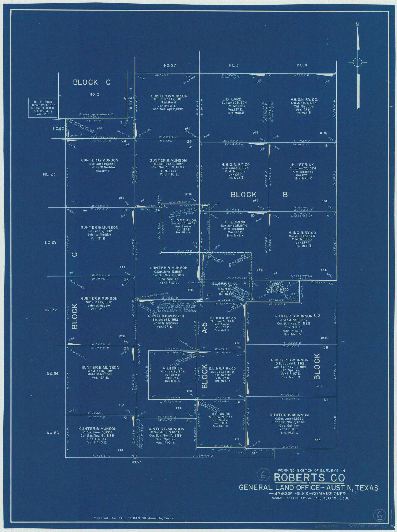
Roberts County Working Sketch 6
-
Map/Doc
63532
-
Collection
General Map Collection
-
Counties
Roberts
-
Subjects
Cadastral Surveying Working Sketch
-
Height x Width
29.3 x 21.9 inches
74.4 x 55.6 cm
Part of: General Map Collection
Flight Mission No. CUG-2P, Frame 82, Kleberg County
![86214, Flight Mission No. CUG-2P, Frame 82, Kleberg County, General Map Collection](https://historictexasmaps.com/wmedia_w700/pdf_converted_jpg/qi_pdf_thumbnail_33358.jpg)
Print $20.00
- Digital $50.00
Flight Mission No. CUG-2P, Frame 82, Kleberg County
1956
Size 18.5 x 22.3 inches
Map/Doc 86214
Presidio County Rolled Sketch 47
![7343, Presidio County Rolled Sketch 47, General Map Collection](https://historictexasmaps.com/wmedia_w700/maps/7343.tif.jpg)
Print $20.00
- Digital $50.00
Presidio County Rolled Sketch 47
1908
Size 30.8 x 32.2 inches
Map/Doc 7343
Map of Mills Co.
![78439, Map of Mills Co., General Map Collection](https://historictexasmaps.com/wmedia_w700/maps/78439-1.tif.jpg)
Print $20.00
- Digital $50.00
Map of Mills Co.
1887
Size 32.7 x 41.1 inches
Map/Doc 78439
Fort Bend County Sketch File 20
![22953, Fort Bend County Sketch File 20, General Map Collection](https://historictexasmaps.com/wmedia_w700/pdf_converted_jpg/qi_pdf_thumbnail_11201.jpg)
Print $2.00
- Digital $50.00
Fort Bend County Sketch File 20
Size 8.9 x 9.4 inches
Map/Doc 22953
[Surveys in the Bexar District along the Guadalupe River]
![124, [Surveys in the Bexar District along the Guadalupe River], General Map Collection](https://historictexasmaps.com/wmedia_w700/maps/124.tif.jpg)
Print $3.00
- Digital $50.00
[Surveys in the Bexar District along the Guadalupe River]
1841
Size 17.2 x 10.8 inches
Map/Doc 124
Duval County Sketch File 4d
![21288, Duval County Sketch File 4d, General Map Collection](https://historictexasmaps.com/wmedia_w700/pdf_converted_jpg/qi_pdf_thumbnail_10833.jpg)
Print $4.00
- Digital $50.00
Duval County Sketch File 4d
1874
Size 10.8 x 8.7 inches
Map/Doc 21288
Travis County State Real Property Sketch 3
![61694, Travis County State Real Property Sketch 3, General Map Collection](https://historictexasmaps.com/wmedia_w700/pdf_converted_jpg/qi_pdf_thumbnail_17213.jpg)
Print $20.00
- Digital $50.00
Travis County State Real Property Sketch 3
1985
Size 34.3 x 35.9 inches
Map/Doc 61694
Flight Mission No. DAG-14K, Frame 131, Matagorda County
![86302, Flight Mission No. DAG-14K, Frame 131, Matagorda County, General Map Collection](https://historictexasmaps.com/wmedia_w700/pdf_converted_jpg/qi_pdf_thumbnail_33446.jpg)
Print $20.00
- Digital $50.00
Flight Mission No. DAG-14K, Frame 131, Matagorda County
1952
Size 18.5 x 22.3 inches
Map/Doc 86302
Martin County Sketch File 16
![30676, Martin County Sketch File 16, General Map Collection](https://historictexasmaps.com/wmedia_w700/pdf_converted_jpg/qi_pdf_thumbnail_12866.jpg)
Print $2.00
- Digital $50.00
Martin County Sketch File 16
1996
Size 11.2 x 8.8 inches
Map/Doc 30676
Newton County Sketch File 7
![32374, Newton County Sketch File 7, General Map Collection](https://historictexasmaps.com/wmedia_w700/pdf_converted_jpg/qi_pdf_thumbnail_13289.jpg)
Print $4.00
- Digital $50.00
Newton County Sketch File 7
1872
Size 6.1 x 8.3 inches
Map/Doc 32374
Hays County Sketch File A
![26186, Hays County Sketch File A, General Map Collection](https://historictexasmaps.com/wmedia_w700/pdf_converted_jpg/qi_pdf_thumbnail_11813.jpg)
Print $6.00
- Digital $50.00
Hays County Sketch File A
1881
Size 10.8 x 8.4 inches
Map/Doc 26186
Rusk County Sketch File 37
![12275, Rusk County Sketch File 37, General Map Collection](https://historictexasmaps.com/wmedia_w700/pdf_converted_jpg/qi_pdf_thumbnail_8602.jpg)
Print $20.00
Rusk County Sketch File 37
1951
Size 23.3 x 26.2 inches
Map/Doc 12275
You may also like
Crockett County Sketch File 77
![19877, Crockett County Sketch File 77, General Map Collection](https://historictexasmaps.com/wmedia_w700/pdf_converted_jpg/qi_pdf_thumbnail_10511.jpg)
Print $8.00
- Digital $50.00
Crockett County Sketch File 77
1932
Size 11.2 x 8.7 inches
Map/Doc 19877
General Highway Map, Coke County, Texas
![79049, General Highway Map, Coke County, Texas, Texas State Library and Archives](https://historictexasmaps.com/wmedia_w700/maps/79049.tif.jpg)
Print $20.00
General Highway Map, Coke County, Texas
1940
Size 18.4 x 25.2 inches
Map/Doc 79049
Crosby County Working Sketch 14
![68448, Crosby County Working Sketch 14, General Map Collection](https://historictexasmaps.com/wmedia_w700/maps/68448.tif.jpg)
Print $20.00
- Digital $50.00
Crosby County Working Sketch 14
Size 41.6 x 32.3 inches
Map/Doc 68448
El Paso County Rolled Sketch Z53
![8869, El Paso County Rolled Sketch Z53, General Map Collection](https://historictexasmaps.com/wmedia_w700/maps/8869.tif.jpg)
Print $40.00
- Digital $50.00
El Paso County Rolled Sketch Z53
1915
Size 36.6 x 51.7 inches
Map/Doc 8869
Erath County Sketch File 4
![22259, Erath County Sketch File 4, General Map Collection](https://historictexasmaps.com/wmedia_w700/pdf_converted_jpg/qi_pdf_thumbnail_11024.jpg)
Print $8.00
- Digital $50.00
Erath County Sketch File 4
1853
Size 13.1 x 8.3 inches
Map/Doc 22259
Cameron County NRC Article 33.136 Location Key Sheet
![77013, Cameron County NRC Article 33.136 Location Key Sheet, General Map Collection](https://historictexasmaps.com/wmedia_w700/maps/77013.tif.jpg)
Print $20.00
- Digital $50.00
Cameron County NRC Article 33.136 Location Key Sheet
1983
Size 27.0 x 22.0 inches
Map/Doc 77013
Flight Mission No. DCL-7C, Frame 47, Kenedy County
![86035, Flight Mission No. DCL-7C, Frame 47, Kenedy County, General Map Collection](https://historictexasmaps.com/wmedia_w700/pdf_converted_jpg/qi_pdf_thumbnail_33181.jpg)
Print $20.00
- Digital $50.00
Flight Mission No. DCL-7C, Frame 47, Kenedy County
1943
Size 15.3 x 15.3 inches
Map/Doc 86035
[J. Poitevent Block 2, T. T. RR. Block 2, C. C. Slaughter Block 1]
![90624, [J. Poitevent Block 2, T. T. RR. Block 2, C. C. Slaughter Block 1], Twichell Survey Records](https://historictexasmaps.com/wmedia_w700/maps/90624-1.tif.jpg)
Print $2.00
- Digital $50.00
[J. Poitevent Block 2, T. T. RR. Block 2, C. C. Slaughter Block 1]
Size 8.5 x 11.6 inches
Map/Doc 90624
Liberty County Sketch File 33
![29967, Liberty County Sketch File 33, General Map Collection](https://historictexasmaps.com/wmedia_w700/pdf_converted_jpg/qi_pdf_thumbnail_12699.jpg)
Print $4.00
- Digital $50.00
Liberty County Sketch File 33
Size 10.7 x 7.8 inches
Map/Doc 29967
Sutton County Sketch File 8
![12379, Sutton County Sketch File 8, General Map Collection](https://historictexasmaps.com/wmedia_w700/pdf_converted_jpg/qi_pdf_thumbnail_8687.jpg)
Print $20.00
- Digital $50.00
Sutton County Sketch File 8
1891
Size 24.9 x 31.6 inches
Map/Doc 12379
Fort Bend County Working Sketch 26
![69232, Fort Bend County Working Sketch 26, General Map Collection](https://historictexasmaps.com/wmedia_w700/maps/69232.tif.jpg)
Print $4.00
- Digital $50.00
Fort Bend County Working Sketch 26
Size 18.5 x 23.6 inches
Map/Doc 69232
[Surveying Sketch of Heirs of Wm Neil, J.J. Hall, Robert Sikes, et al in Hutchinson County, Texas]
![75778, [Surveying Sketch of Heirs of Wm Neil, J.J. Hall, Robert Sikes, et al in Hutchinson County, Texas], Maddox Collection](https://historictexasmaps.com/wmedia_w700/maps/75778-1.tif.jpg)
Print $20.00
- Digital $50.00
[Surveying Sketch of Heirs of Wm Neil, J.J. Hall, Robert Sikes, et al in Hutchinson County, Texas]
Size 15.6 x 20.5 inches
Map/Doc 75778