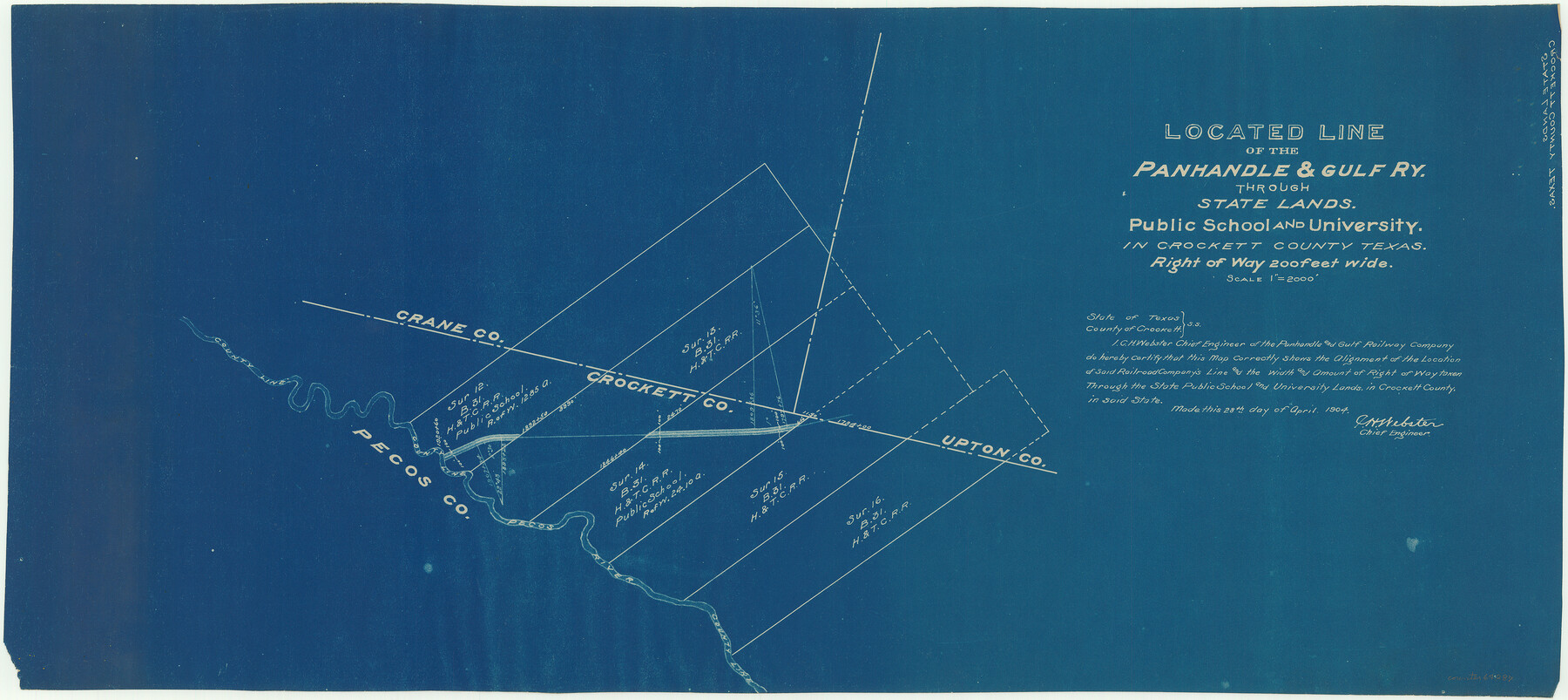
Located Line of the Panhandle & Gulf Ry. Through State Lands, Public School and University, in Crockett County, Texas
Z-2-77
Part of: General Map Collection
Upton County Sketch File 9

Print $30.00
- Digital $50.00
Upton County Sketch File 9
1913
Size 9.3 x 5.9 inches
Map/Doc 38824

Old Miscellaneous File 25

Print $40.00
- Digital $50.00
Old Miscellaneous File 25
Size 17.8 x 15.2 inches
Map/Doc 75632
Upton County Sketch File 5

Print $40.00
- Digital $50.00
Upton County Sketch File 5
Size 8.7 x 24.4 inches
Map/Doc 38813
Crockett County Sketch File 84

Print $6.00
- Digital $50.00
Crockett County Sketch File 84
1942
Size 11.4 x 8.9 inches
Map/Doc 19905
Flight Mission No. DAG-17K, Frame 66, Matagorda County

Print $20.00
- Digital $50.00
Flight Mission No. DAG-17K, Frame 66, Matagorda County
1952
Size 18.5 x 22.3 inches
Map/Doc 86328
No. 3 Chart of Channel connecting Corpus Christi Bay with Aransas Bay, Texas

Print $20.00
- Digital $50.00
No. 3 Chart of Channel connecting Corpus Christi Bay with Aransas Bay, Texas
1878
Size 18.1 x 27.9 inches
Map/Doc 72776
The Coast of Texas

Print $20.00
- Digital $50.00
The Coast of Texas
1844
Size 18.3 x 26.9 inches
Map/Doc 72698
Map of the survey of the 100th Meridian of longitude west of Greenwich beginning at Red River and extending to the parallel 36 1/2 degrees north latitude

Print $40.00
- Digital $50.00
Map of the survey of the 100th Meridian of longitude west of Greenwich beginning at Red River and extending to the parallel 36 1/2 degrees north latitude
1862
Size 111.9 x 10.4 inches
Map/Doc 3094
Edwards County Rolled Sketch 37

Print $20.00
- Digital $50.00
Edwards County Rolled Sketch 37
2018
Size 23.3 x 30.2 inches
Map/Doc 94459
Maps of Gulf Intracoastal Waterway, Texas - Sabine River to the Rio Grande and connecting waterways including ship channels

Print $20.00
- Digital $50.00
Maps of Gulf Intracoastal Waterway, Texas - Sabine River to the Rio Grande and connecting waterways including ship channels
1966
Size 14.5 x 20.8 inches
Map/Doc 61968
Kimble County Rolled Sketch 24

Print $20.00
- Digital $50.00
Kimble County Rolled Sketch 24
1934
Size 31.6 x 17.7 inches
Map/Doc 6514
You may also like
Tarrant County Sketch File 23

Print $4.00
- Digital $50.00
Tarrant County Sketch File 23
Size 6.1 x 8.2 inches
Map/Doc 37733
Lampasas County Working Sketch 17

Print $20.00
- Digital $50.00
Lampasas County Working Sketch 17
1977
Size 24.0 x 13.2 inches
Map/Doc 70294
Nueces County Sketch File 81

Print $20.00
- Digital $50.00
Nueces County Sketch File 81
Size 11.2 x 8.7 inches
Map/Doc 33155
Val Verde County Working Sketch 39

Print $20.00
- Digital $50.00
Val Verde County Working Sketch 39
1943
Size 26.0 x 26.5 inches
Map/Doc 72174
Wichita County Sketch File 1

Print $22.00
- Digital $50.00
Wichita County Sketch File 1
1856
Size 13.5 x 16.8 inches
Map/Doc 40028
Ector County Sketch File 13

Print $16.00
- Digital $50.00
Ector County Sketch File 13
1988
Size 11.5 x 9.0 inches
Map/Doc 21651
Map of Defunct and Ghost Counties in Texas

Print $20.00
- Digital $50.00
Map of Defunct and Ghost Counties in Texas
1939
Size 35.0 x 35.9 inches
Map/Doc 2148
United States - Gulf Coast Texas - Southern part of Laguna Madre

Print $20.00
- Digital $50.00
United States - Gulf Coast Texas - Southern part of Laguna Madre
1933
Size 26.9 x 18.3 inches
Map/Doc 72952
Hamilton County Sketch File 7

Print $40.00
- Digital $50.00
Hamilton County Sketch File 7
1860
Size 12.2 x 15.3 inches
Map/Doc 24912
Meanders of Sulphur Fork of Red River, Red River County, Texas

Print $2.00
- Digital $50.00
Meanders of Sulphur Fork of Red River, Red River County, Texas
1841
Size 6.8 x 9.7 inches
Map/Doc 65777
Map of Burnet County

Print $20.00
- Digital $50.00
Map of Burnet County
1862
Size 27.1 x 22.5 inches
Map/Doc 3353
Map of Williamson County

Print $20.00
- Digital $50.00
Map of Williamson County
1863
Size 22.7 x 29.7 inches
Map/Doc 4150