[Plat of Trinity River w/ Midstream Profile in Liberty County by US Government 1899]
K-7-44 (a-f)
-
Map/Doc
65336
-
Collection
General Map Collection
-
Object Dates
1899 (Creation Date)
-
People and Organizations
U. S. Government (Author)
-
Counties
Liberty
-
Subjects
River Surveys Topographic
-
Height x Width
10.8 x 18.3 inches
27.4 x 46.5 cm
Part of: General Map Collection
Gregg County Working Sketch 23
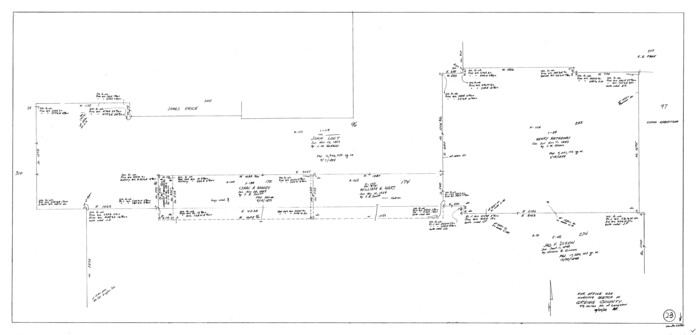

Print $20.00
- Digital $50.00
Gregg County Working Sketch 23
1982
Size 20.2 x 42.2 inches
Map/Doc 63290
Pecos County Working Sketch 75
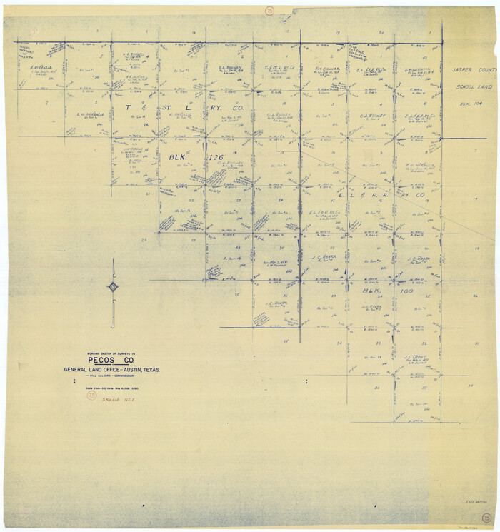

Print $20.00
- Digital $50.00
Pecos County Working Sketch 75
1958
Size 43.2 x 40.6 inches
Map/Doc 71547
Frio County Working Sketch 12


Print $40.00
- Digital $50.00
Frio County Working Sketch 12
1953
Size 52.8 x 39.9 inches
Map/Doc 69286
Val Verde County


Print $20.00
- Digital $50.00
Val Verde County
1944
Size 42.3 x 37.8 inches
Map/Doc 73311
Andrews County Sketch File 12
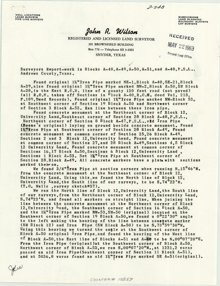

Print $8.00
- Digital $50.00
Andrews County Sketch File 12
1963
Size 11.1 x 8.5 inches
Map/Doc 12857
Map of Hunt County
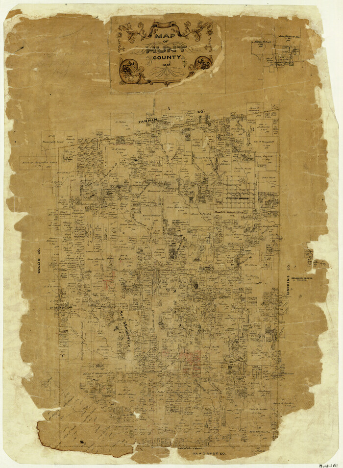

Print $20.00
- Digital $50.00
Map of Hunt County
1851
Size 25.1 x 18.7 inches
Map/Doc 3690
San Patricio County Rolled Sketch 7B


Print $20.00
- Digital $50.00
San Patricio County Rolled Sketch 7B
1870
Size 42.3 x 29.1 inches
Map/Doc 7573
Hudspeth County Working Sketch 62


Print $20.00
- Digital $50.00
Hudspeth County Working Sketch 62
1993
Size 23.9 x 32.4 inches
Map/Doc 66347
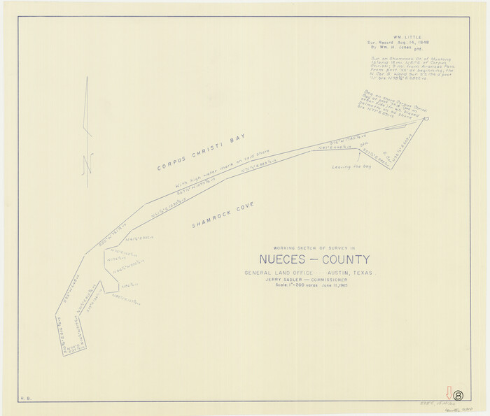
Nueces County Working Sketch 8

Print $20.00
- Digital $50.00
Nueces County Working Sketch 8
1965
Size 20.3 x 23.8 inches
Map/Doc 71310
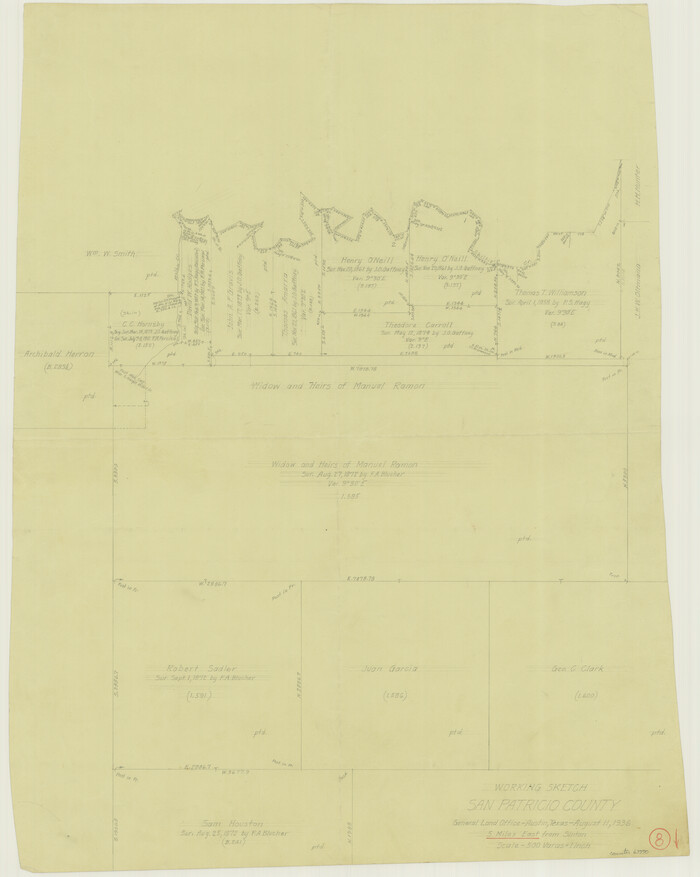
San Patricio County Working Sketch 8

Print $20.00
- Digital $50.00
San Patricio County Working Sketch 8
1936
Size 26.9 x 21.5 inches
Map/Doc 63770
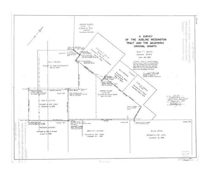
Karnes County Rolled Sketch 3A

Print $20.00
- Digital $50.00
Karnes County Rolled Sketch 3A
1959
Size 23.9 x 28.6 inches
Map/Doc 6455
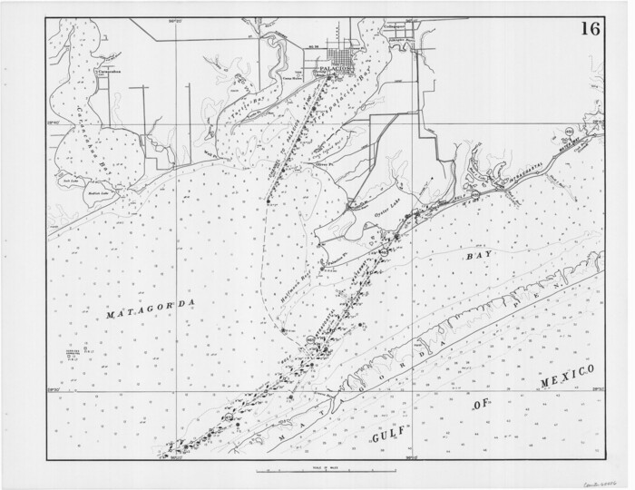
Navigation Maps of Gulf Intracoastal Waterway, Port Arthur to Brownsville, Texas

Print $4.00
- Digital $50.00
Navigation Maps of Gulf Intracoastal Waterway, Port Arthur to Brownsville, Texas
1951
Size 16.6 x 21.5 inches
Map/Doc 65436
You may also like
Harris County Working Sketch 37
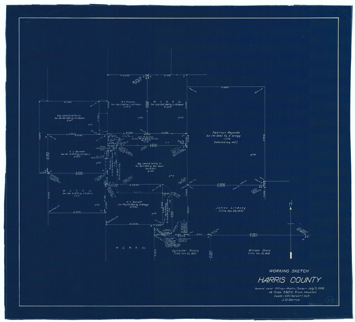

Print $20.00
- Digital $50.00
Harris County Working Sketch 37
1938
Size 25.4 x 28.0 inches
Map/Doc 65929
Shelby County Working Sketch 22
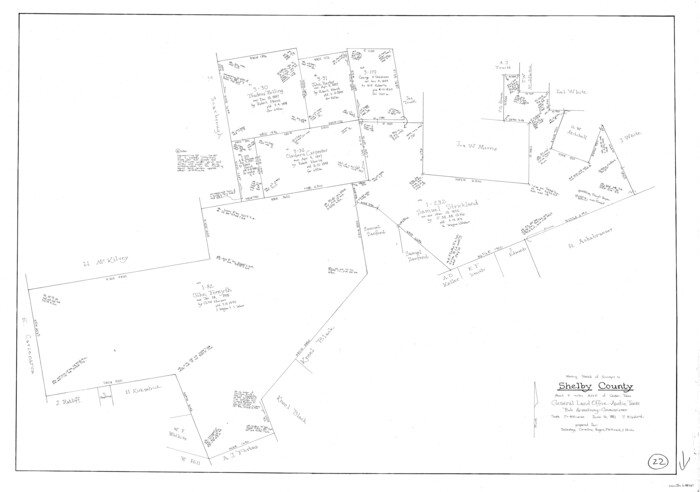

Print $20.00
- Digital $50.00
Shelby County Working Sketch 22
1981
Size 28.9 x 41.2 inches
Map/Doc 63875
Working Sketch Bastrop County
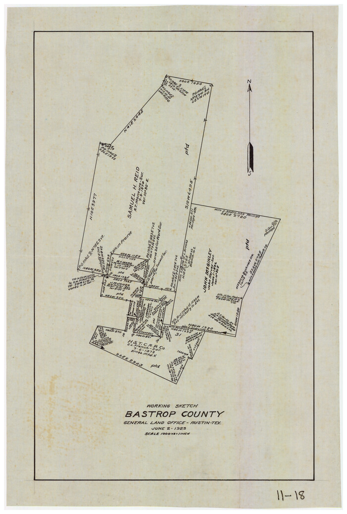

Print $3.00
- Digital $50.00
Working Sketch Bastrop County
1923
Size 11.0 x 16.2 inches
Map/Doc 90207
Fisher County Sketch File A and A1
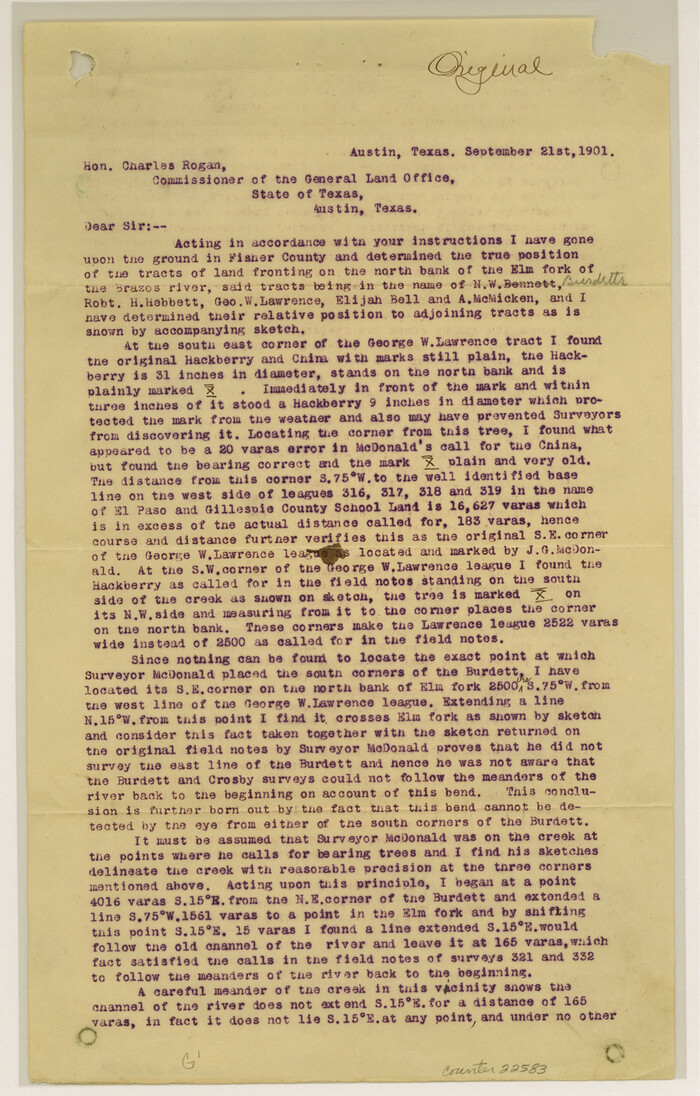

Print $8.00
- Digital $50.00
Fisher County Sketch File A and A1
1901
Size 14.4 x 9.2 inches
Map/Doc 22583
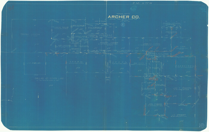
Archer County Working Sketch 10b

Print $20.00
- Digital $50.00
Archer County Working Sketch 10b
1924
Size 25.5 x 40.2 inches
Map/Doc 67151
[Sketch showing west part of county]
![91713, [Sketch showing west part of county], Twichell Survey Records](https://historictexasmaps.com/wmedia_w700/maps/91713-1.tif.jpg)
![91713, [Sketch showing west part of county], Twichell Survey Records](https://historictexasmaps.com/wmedia_w700/maps/91713-1.tif.jpg)
Print $20.00
- Digital $50.00
[Sketch showing west part of county]
Size 24.2 x 13.8 inches
Map/Doc 91713
Live Oak County Working Sketch 30


Print $20.00
- Digital $50.00
Live Oak County Working Sketch 30
1988
Size 19.0 x 25.9 inches
Map/Doc 70615
[F. W. & D. C. Ry. Co. Alignment and Right of Way Map, Clay County]
![64722, [F. W. & D. C. Ry. Co. Alignment and Right of Way Map, Clay County], General Map Collection](https://historictexasmaps.com/wmedia_w700/maps/64722-1.tif.jpg)
![64722, [F. W. & D. C. Ry. Co. Alignment and Right of Way Map, Clay County], General Map Collection](https://historictexasmaps.com/wmedia_w700/maps/64722-1.tif.jpg)
Print $20.00
- Digital $50.00
[F. W. & D. C. Ry. Co. Alignment and Right of Way Map, Clay County]
1927
Size 18.7 x 11.7 inches
Map/Doc 64722
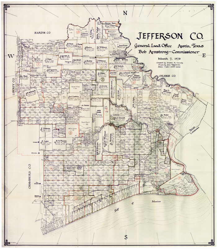
Jefferson County Working Sketch Graphic Index

Print $20.00
- Digital $50.00
Jefferson County Working Sketch Graphic Index
1978
Size 47.1 x 41.4 inches
Map/Doc 76595
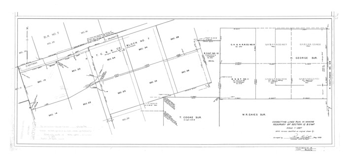
Wichita County Rolled Sketch 15

Print $20.00
- Digital $50.00
Wichita County Rolled Sketch 15
Size 17.0 x 37.1 inches
Map/Doc 8252
Flight Mission No. DQN-2K, Frame 156, Calhoun County


Print $20.00
- Digital $50.00
Flight Mission No. DQN-2K, Frame 156, Calhoun County
1953
Size 18.5 x 22.3 inches
Map/Doc 84318
![65336, [Plat of Trinity River w/ Midstream Profile in Liberty County by US Government 1899], General Map Collection](https://historictexasmaps.com/wmedia_w1800h1800/maps/65336.tif.jpg)
