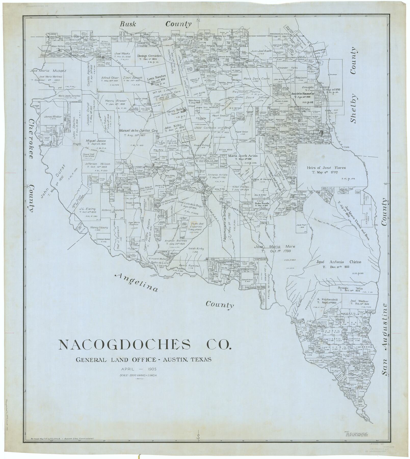
Nacogdoches Co.
-
Map/Doc
66949
-
Collection
General Map Collection
-
Object Dates
1905 (Creation Date)
-
People and Organizations
Texas General Land Office (Publisher)
Morris (Compiler)
Morris (Draftsman)
-
Counties
Nacogdoches
-
Subjects
County
-
Height x Width
48.6 x 43.4 inches
123.4 x 110.2 cm
-
Comments
Retraced by G. E. and W. S. B. May 7, 1947.
Part of: General Map Collection
Tarrant County Working Sketch 1

Print $20.00
- Digital $50.00
Tarrant County Working Sketch 1
1939
Size 12.2 x 18.9 inches
Map/Doc 62418
Borden County Sketch File 7

Print $8.00
- Digital $50.00
Borden County Sketch File 7
1909
Size 13.3 x 8.4 inches
Map/Doc 14723
Blanco County Sketch File 10

Print $4.00
- Digital $50.00
Blanco County Sketch File 10
1853
Size 14.6 x 8.2 inches
Map/Doc 14588
Val Verde County Working Sketch 46

Print $20.00
- Digital $50.00
Val Verde County Working Sketch 46
1946
Size 31.8 x 33.3 inches
Map/Doc 72181
Reeves County Rolled Sketch 18

Print $20.00
- Digital $50.00
Reeves County Rolled Sketch 18
1963
Size 23.4 x 27.4 inches
Map/Doc 7487
Hardin County Sketch File X

Print $9.00
- Digital $50.00
Hardin County Sketch File X
Size 8.2 x 8.3 inches
Map/Doc 25075
Dimmit County Sketch File 39

Print $8.00
- Digital $50.00
Dimmit County Sketch File 39
1901
Size 14.6 x 9.0 inches
Map/Doc 21165
Liberty County Rolled Sketch WC

Print $107.00
- Digital $50.00
Liberty County Rolled Sketch WC
1934
Size 10.4 x 15.3 inches
Map/Doc 46561
Taylor County Boundary File 1

Print $44.00
- Digital $50.00
Taylor County Boundary File 1
Size 8.4 x 8.2 inches
Map/Doc 59184
Pecos County Sketch File 18

Print $32.00
- Digital $50.00
Pecos County Sketch File 18
1884
Size 24.5 x 9.6 inches
Map/Doc 12159
El Paso County Boundary File 20

Print $9.00
- Digital $50.00
El Paso County Boundary File 20
Size 13.2 x 8.3 inches
Map/Doc 53210
Red River County Sketch File 3

Print $4.00
- Digital $50.00
Red River County Sketch File 3
Size 10.4 x 8.3 inches
Map/Doc 35098
You may also like
Fort Bend County Sketch File 7

Print $4.00
- Digital $50.00
Fort Bend County Sketch File 7
1876
Size 12.9 x 8.0 inches
Map/Doc 22892
Hardin County Sketch File 37

Print $20.00
- Digital $50.00
Hardin County Sketch File 37
Size 20.4 x 17.7 inches
Map/Doc 11633
Crockett County Rolled Sketch 55

Print $40.00
- Digital $50.00
Crockett County Rolled Sketch 55
Size 42.3 x 95.8 inches
Map/Doc 8718
Rains County Working Sketch 6

Print $20.00
- Digital $50.00
Rains County Working Sketch 6
1958
Size 26.4 x 42.3 inches
Map/Doc 71832
Map of the Mexican National Railway showing the lines granted by the Mexican Government to the Mexican National Construction Company (Palmer-Sullivan Concession)

Print $20.00
Map of the Mexican National Railway showing the lines granted by the Mexican Government to the Mexican National Construction Company (Palmer-Sullivan Concession)
1881
Size 26.8 x 40.6 inches
Map/Doc 95315
Shelby County Rolled Sketch 10

Print $20.00
- Digital $50.00
Shelby County Rolled Sketch 10
Size 16.2 x 27.3 inches
Map/Doc 7778
Wilson County Working Sketch 3

Print $20.00
- Digital $50.00
Wilson County Working Sketch 3
1952
Size 33.6 x 33.2 inches
Map/Doc 72583
State of Texas

Print $40.00
- Digital $50.00
State of Texas
1985
Size 50.0 x 53.6 inches
Map/Doc 2486
Map of the County of Calhoun

Print $20.00
- Digital $50.00
Map of the County of Calhoun
1852
Size 21.0 x 20.4 inches
Map/Doc 4431

San Patricio County NRC Article 33.136 Location Key Sheet

Print $20.00
- Digital $50.00
San Patricio County NRC Article 33.136 Location Key Sheet
1975
Size 27.0 x 23.0 inches
Map/Doc 77037
[Sketch of Surveys in Cottle, Dickens, King & Motley Counties, Texas]
![75830, [Sketch of Surveys in Cottle, Dickens, King & Motley Counties, Texas], Maddox Collection](https://historictexasmaps.com/wmedia_w700/maps/75830.tif.jpg)
Print $20.00
- Digital $50.00
[Sketch of Surveys in Cottle, Dickens, King & Motley Counties, Texas]
1913
Size 29.6 x 23.2 inches
Map/Doc 75830