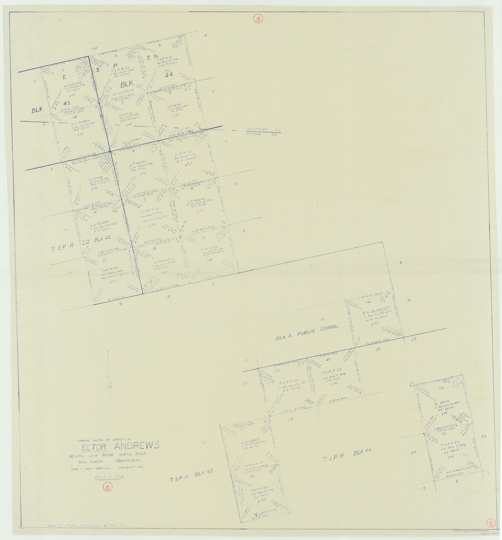
Ector County Working Sketch 18
-
Map/Doc
68861
-
Collection
General Map Collection
-
Object Dates
6/5/1957 (Creation Date)
-
Counties
Ector Andrews
-
Subjects
Surveying Working Sketch
-
Height x Width
42.0 x 39.1 inches
106.7 x 99.3 cm
-
Scale
1" = 500 varas
Part of: General Map Collection
Culberson County Rolled Sketch 37

Print $20.00
- Digital $50.00
Culberson County Rolled Sketch 37
Size 29.5 x 24.6 inches
Map/Doc 78464
Crosby County Working Sketch 17

Print $20.00
- Digital $50.00
Crosby County Working Sketch 17
1982
Size 32.8 x 43.9 inches
Map/Doc 68451
Zavala County Rolled Sketch 26

Print $20.00
- Digital $50.00
Zavala County Rolled Sketch 26
1952
Size 25.3 x 41.8 inches
Map/Doc 8328
McCulloch County Sketch File 3

Print $12.00
- Digital $50.00
McCulloch County Sketch File 3
1893
Size 11.1 x 8.5 inches
Map/Doc 31169
Mosaic composed of aerial photographs - Texas City, Tex.

Print $20.00
- Digital $50.00
Mosaic composed of aerial photographs - Texas City, Tex.
1923
Size 15.0 x 16.8 inches
Map/Doc 97166
Reagan County Rolled Sketch 19

Print $20.00
- Digital $50.00
Reagan County Rolled Sketch 19
1939
Size 24.0 x 20.5 inches
Map/Doc 7445
Map of Nacogdoches County

Print $20.00
- Digital $50.00
Map of Nacogdoches County
1881
Size 23.7 x 21.0 inches
Map/Doc 4599
Kinney County Working Sketch 6

Print $20.00
- Digital $50.00
Kinney County Working Sketch 6
1908
Size 19.6 x 23.9 inches
Map/Doc 70188
Anderson County Sketch File 7

Print $4.00
- Digital $50.00
Anderson County Sketch File 7
Size 7.9 x 10.0 inches
Map/Doc 12757
Northeast Part of Webb County

Print $20.00
- Digital $50.00
Northeast Part of Webb County
1986
Size 34.6 x 45.7 inches
Map/Doc 77452
Van Zandt County Rolled Sketch 7

Print $20.00
- Digital $50.00
Van Zandt County Rolled Sketch 7
1946
Size 27.0 x 20.4 inches
Map/Doc 8147
Dallas County Working Sketch 5

Print $20.00
- Digital $50.00
Dallas County Working Sketch 5
1941
Size 18.7 x 16.4 inches
Map/Doc 68571
You may also like
Township No. 4 South Range No. 19 West of the Indian Meridian

Print $20.00
- Digital $50.00
Township No. 4 South Range No. 19 West of the Indian Meridian
1875
Size 19.1 x 24.5 inches
Map/Doc 75183
San Patricio County Sketch File 40

Print $4.00
- Digital $50.00
San Patricio County Sketch File 40
1842
Size 10.5 x 8.2 inches
Map/Doc 36236
Jones County Sketch File 9

Print $22.00
- Digital $50.00
Jones County Sketch File 9
Size 8.3 x 7.5 inches
Map/Doc 28495
Dimmit County Rolled Sketch 17

Print $20.00
- Digital $50.00
Dimmit County Rolled Sketch 17
1974
Size 34.9 x 19.3 inches
Map/Doc 5724
Flight Mission No. DQN-1K, Frame 103, Calhoun County

Print $20.00
- Digital $50.00
Flight Mission No. DQN-1K, Frame 103, Calhoun County
1953
Size 18.5 x 22.1 inches
Map/Doc 84170
Presidio County Rolled Sketch 68

Print $20.00
- Digital $50.00
Presidio County Rolled Sketch 68
1927
Size 11.8 x 24.4 inches
Map/Doc 7358
Harris County Historic Topographic 23

Print $20.00
- Digital $50.00
Harris County Historic Topographic 23
1916
Size 29.2 x 22.6 inches
Map/Doc 65834
Hutchinson County Sketch File 49

Print $30.00
- Digital $50.00
Hutchinson County Sketch File 49
1992
Size 14.2 x 8.6 inches
Map/Doc 27419
[Sketch for Mineral Application 11108 - Greens Bayou]
![76156, [Sketch for Mineral Application 11108 - Greens Bayou], General Map Collection](https://historictexasmaps.com/wmedia_w700/maps/76156.tif.jpg)
Print $40.00
- Digital $50.00
[Sketch for Mineral Application 11108 - Greens Bayou]
Size 58.2 x 31.4 inches
Map/Doc 76156
Flight Mission No. CRC-3R, Frame 19, Chambers County

Print $20.00
- Digital $50.00
Flight Mission No. CRC-3R, Frame 19, Chambers County
1956
Size 18.5 x 22.1 inches
Map/Doc 84793
Map of Hill County

Print $40.00
- Digital $50.00
Map of Hill County
1884
Size 80.0 x 35.2 inches
Map/Doc 93379
