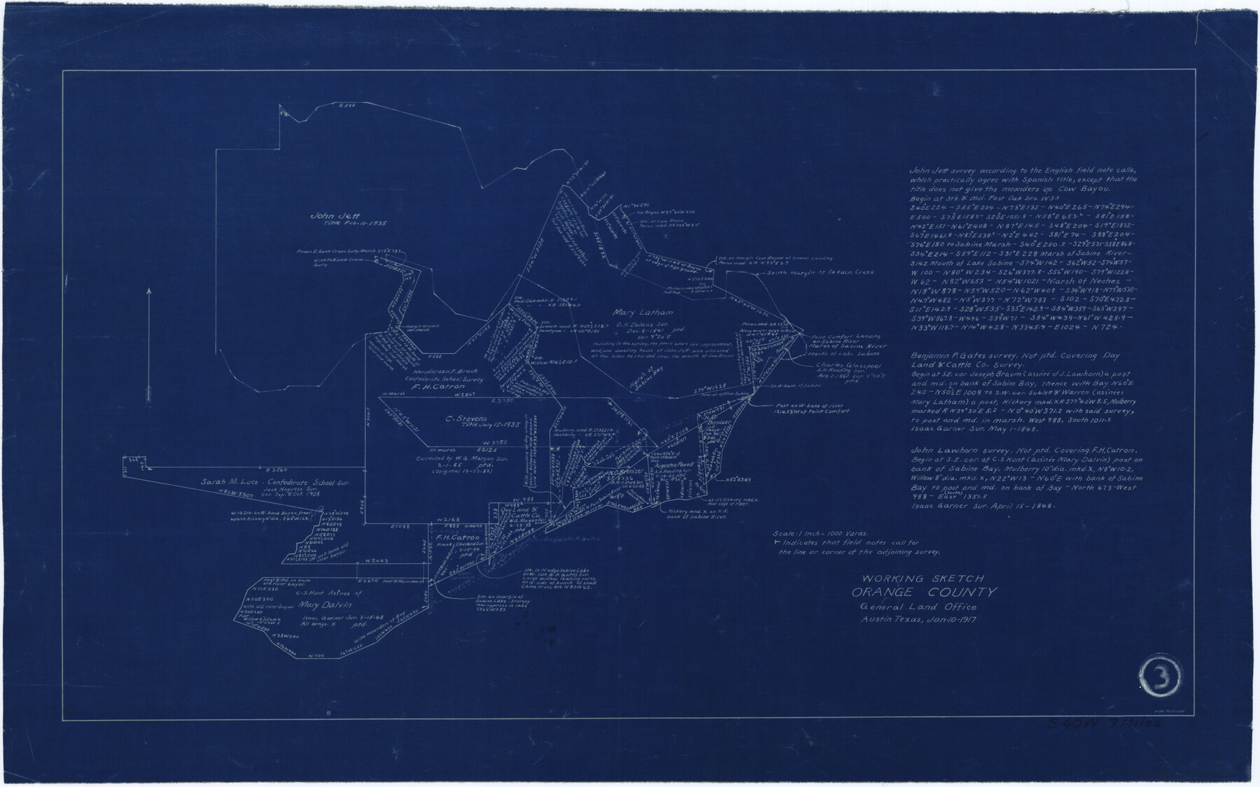
Orange County Working Sketch 3
-
Map/Doc
71335
-
Collection
General Map Collection
-
Object Dates
1/10/1917 (Creation Date)
-
People and Organizations
J.W. Pritchett (Draftsman)
-
Counties
Orange
-
Subjects
Surveying Working Sketch
-
Height x Width
12.7 x 20.3 inches
32.3 x 51.6 cm
-
Scale
1" = 1000 varas
Part of: General Map Collection
Hardin County Sketch File 30

Print $6.00
- Digital $50.00
Hardin County Sketch File 30
Size 6.5 x 8.1 inches
Map/Doc 25157
McLennan County Sketch File 35

Print $10.00
- Digital $50.00
McLennan County Sketch File 35
Size 13.1 x 8.1 inches
Map/Doc 31310
Montgomery County Boundary File 2

Print $6.00
- Digital $50.00
Montgomery County Boundary File 2
Size 17.1 x 11.4 inches
Map/Doc 57448
Hemphill County Working Sketch 9

Print $20.00
- Digital $50.00
Hemphill County Working Sketch 9
1965
Size 23.0 x 32.8 inches
Map/Doc 66104
Pecos County Rolled Sketch 144

Print $20.00
- Digital $50.00
Pecos County Rolled Sketch 144
1956
Size 28.5 x 29.8 inches
Map/Doc 7277
Flight Mission No. DCL-7C, Frame 76, Kenedy County

Print $20.00
- Digital $50.00
Flight Mission No. DCL-7C, Frame 76, Kenedy County
1943
Size 15.4 x 15.1 inches
Map/Doc 86062
Panola County Sketch File 23

Print $20.00
- Digital $50.00
Panola County Sketch File 23
Size 23.1 x 17.5 inches
Map/Doc 12139
Flight Mission No. DIX-10P, Frame 152, Aransas County

Print $20.00
- Digital $50.00
Flight Mission No. DIX-10P, Frame 152, Aransas County
1956
Size 18.6 x 22.2 inches
Map/Doc 83954
Nolan County Sketch File 13

Print $20.00
- Digital $50.00
Nolan County Sketch File 13
1886
Size 17.8 x 29.9 inches
Map/Doc 42207
Travis County Appraisal District Plat Map 2_3216

Print $20.00
- Digital $50.00
Travis County Appraisal District Plat Map 2_3216
Size 21.5 x 26.4 inches
Map/Doc 94223
Brazoria County Sketch File 1a

Print $6.00
- Digital $50.00
Brazoria County Sketch File 1a
1861
Size 12.5 x 11.5 inches
Map/Doc 14918
Hutchinson County Working Sketch 13

Print $20.00
- Digital $50.00
Hutchinson County Working Sketch 13
1926
Size 22.6 x 31.5 inches
Map/Doc 66371
You may also like
Greater Fort Worth City

Print $20.00
- Digital $50.00
Greater Fort Worth City
1919
Size 31.2 x 21.5 inches
Map/Doc 93423
Liberty County Working Sketch 90

Print $20.00
- Digital $50.00
Liberty County Working Sketch 90
2001
Size 23.1 x 43.1 inches
Map/Doc 70550
Jefferson County Sketch File 41

Print $58.00
- Digital $50.00
Jefferson County Sketch File 41
1957
Size 14.2 x 8.7 inches
Map/Doc 28236
Flight Mission No. CUG-1P, Frame 43, Kleberg County

Print $20.00
- Digital $50.00
Flight Mission No. CUG-1P, Frame 43, Kleberg County
1956
Size 18.6 x 22.4 inches
Map/Doc 86121
Tom Green County Sketch File 79B

Print $20.00
- Digital $50.00
Tom Green County Sketch File 79B
1959
Size 18.5 x 23.8 inches
Map/Doc 12451
General Highway Map, Ochiltree County, Texas

Print $20.00
General Highway Map, Ochiltree County, Texas
1961
Size 18.2 x 24.3 inches
Map/Doc 79618
Rains County Sketch File 8

Print $4.00
- Digital $50.00
Rains County Sketch File 8
1872
Size 7.6 x 8.1 inches
Map/Doc 34958
Harris County Working Sketch 123

Print $20.00
- Digital $50.00
Harris County Working Sketch 123
1993
Size 19.5 x 17.0 inches
Map/Doc 66015
Leon County Sketch File 23

Print $12.00
- Digital $50.00
Leon County Sketch File 23
1932
Size 11.1 x 8.7 inches
Map/Doc 29775
The Republic County of Washington. December 29, 1845

Print $20.00
The Republic County of Washington. December 29, 1845
2020
Size 11.8 x 21.7 inches
Map/Doc 96310

University Lands, Blocks 1-13 & Block 58, Crockett, Reagan & Upton Counties

Print $20.00
- Digital $50.00
University Lands, Blocks 1-13 & Block 58, Crockett, Reagan & Upton Counties
1936
Size 36.9 x 42.0 inches
Map/Doc 2409