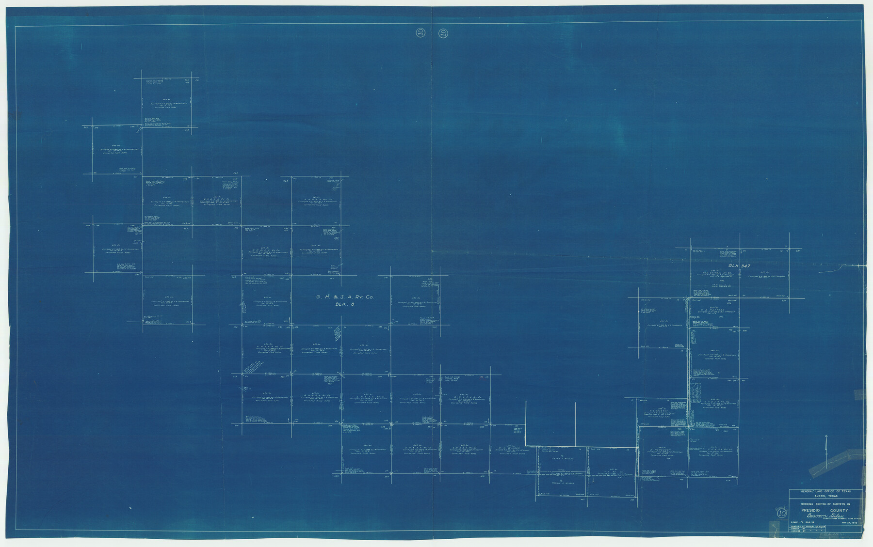
Presidio County Working Sketch 10
-
Map/Doc
71685
-
Collection
General Map Collection
-
Object Dates
5/27/1940 (Creation Date)
-
People and Organizations
Herbert de Synek (Draftsman)
-
Counties
Presidio
-
Subjects
Surveying Working Sketch
-
Height x Width
42.1 x 67.1 inches
106.9 x 170.4 cm
-
Scale
1" = 500 varas
Part of: General Map Collection
Goliad County Sketch File 6

Print $2.00
- Digital $50.00
Goliad County Sketch File 6
1857
Size 8.8 x 4.9 inches
Map/Doc 24220
El Paso County Working Sketch 44

Print $20.00
- Digital $50.00
El Paso County Working Sketch 44
1992
Size 25.6 x 25.4 inches
Map/Doc 69066
Motley County Sketch File 11 (N)

Print $14.00
- Digital $50.00
Motley County Sketch File 11 (N)
1900
Size 11.1 x 8.6 inches
Map/Doc 32036
Map of Hopkins County

Print $20.00
- Digital $50.00
Map of Hopkins County
1872
Size 17.5 x 17.9 inches
Map/Doc 4567
Marion County Sketch File 8

Print $4.00
- Digital $50.00
Marion County Sketch File 8
1852
Size 10.0 x 8.1 inches
Map/Doc 30575
Presidio County Sketch File 46

Print $8.00
- Digital $50.00
Presidio County Sketch File 46
1915
Size 10.2 x 8.3 inches
Map/Doc 34535
Concho County Working Sketch 21

Print $20.00
- Digital $50.00
Concho County Working Sketch 21
1957
Size 36.4 x 36.0 inches
Map/Doc 68203
Sulphur River, Bassett Sheet

Print $20.00
- Digital $50.00
Sulphur River, Bassett Sheet
1939
Size 24.8 x 32.0 inches
Map/Doc 78322
Galveston County Sketch File 19

Print $4.00
- Digital $50.00
Galveston County Sketch File 19
Size 9.3 x 7.3 inches
Map/Doc 23390
Reagan County Working Sketch 27

Print $20.00
- Digital $50.00
Reagan County Working Sketch 27
1960
Size 33.0 x 42.5 inches
Map/Doc 71869
Harris County Rolled Sketch 86

Print $40.00
- Digital $50.00
Harris County Rolled Sketch 86
Size 50.4 x 43.9 inches
Map/Doc 73581
Willacy County Rolled Sketch 1

Print $121.00
- Digital $50.00
Willacy County Rolled Sketch 1
1956
Size 10.4 x 15.3 inches
Map/Doc 49566
You may also like
Titus County Working Sketch 6

Print $40.00
- Digital $50.00
Titus County Working Sketch 6
1962
Size 29.8 x 55.5 inches
Map/Doc 69367
General Highway Map, Zapata County, Texas

Print $20.00
General Highway Map, Zapata County, Texas
1940
Size 18.4 x 24.8 inches
Map/Doc 79287
Map of the country upon the Brazos and Big Witchita Rivers

Print $20.00
- Digital $50.00
Map of the country upon the Brazos and Big Witchita Rivers
1854
Size 30.3 x 34.9 inches
Map/Doc 4663
Upton County Working Sketch 7

Print $20.00
- Digital $50.00
Upton County Working Sketch 7
1912
Size 26.3 x 29.9 inches
Map/Doc 69503
Sutton County Sketch File 59

Print $20.00
- Digital $50.00
Sutton County Sketch File 59
Size 24.6 x 16.5 inches
Map/Doc 12394
Crockett County Rolled Sketch 64

Print $20.00
- Digital $50.00
Crockett County Rolled Sketch 64
1947
Size 19.8 x 41.2 inches
Map/Doc 5607
Bosque County Sketch File 14

Print $22.00
- Digital $50.00
Bosque County Sketch File 14
1863
Size 12.2 x 7.6 inches
Map/Doc 14763
Terrell County Working Sketch 17

Print $20.00
- Digital $50.00
Terrell County Working Sketch 17
1928
Size 15.2 x 32.3 inches
Map/Doc 62166
[Sketch of surveys north of "Las Animas" grant, Webb County]
![668, [Sketch of surveys north of "Las Animas" grant, Webb County], Maddox Collection](https://historictexasmaps.com/wmedia_w700/maps/668.tif.jpg)
Print $3.00
- Digital $50.00
[Sketch of surveys north of "Las Animas" grant, Webb County]
1908
Size 16.9 x 10.7 inches
Map/Doc 668
Orange County Sketch File 8

Print $6.00
- Digital $50.00
Orange County Sketch File 8
Size 11.0 x 16.1 inches
Map/Doc 33311
[Val Verde County]
![63095, [Val Verde County], General Map Collection](https://historictexasmaps.com/wmedia_w700/maps/63095.tif.jpg)
Print $20.00
- Digital $50.00
[Val Verde County]
1898
Size 39.1 x 32.4 inches
Map/Doc 63095
Old Miscellaneous File 35

Print $4.00
- Digital $50.00
Old Miscellaneous File 35
1882
Size 13.9 x 8.6 inches
Map/Doc 75757