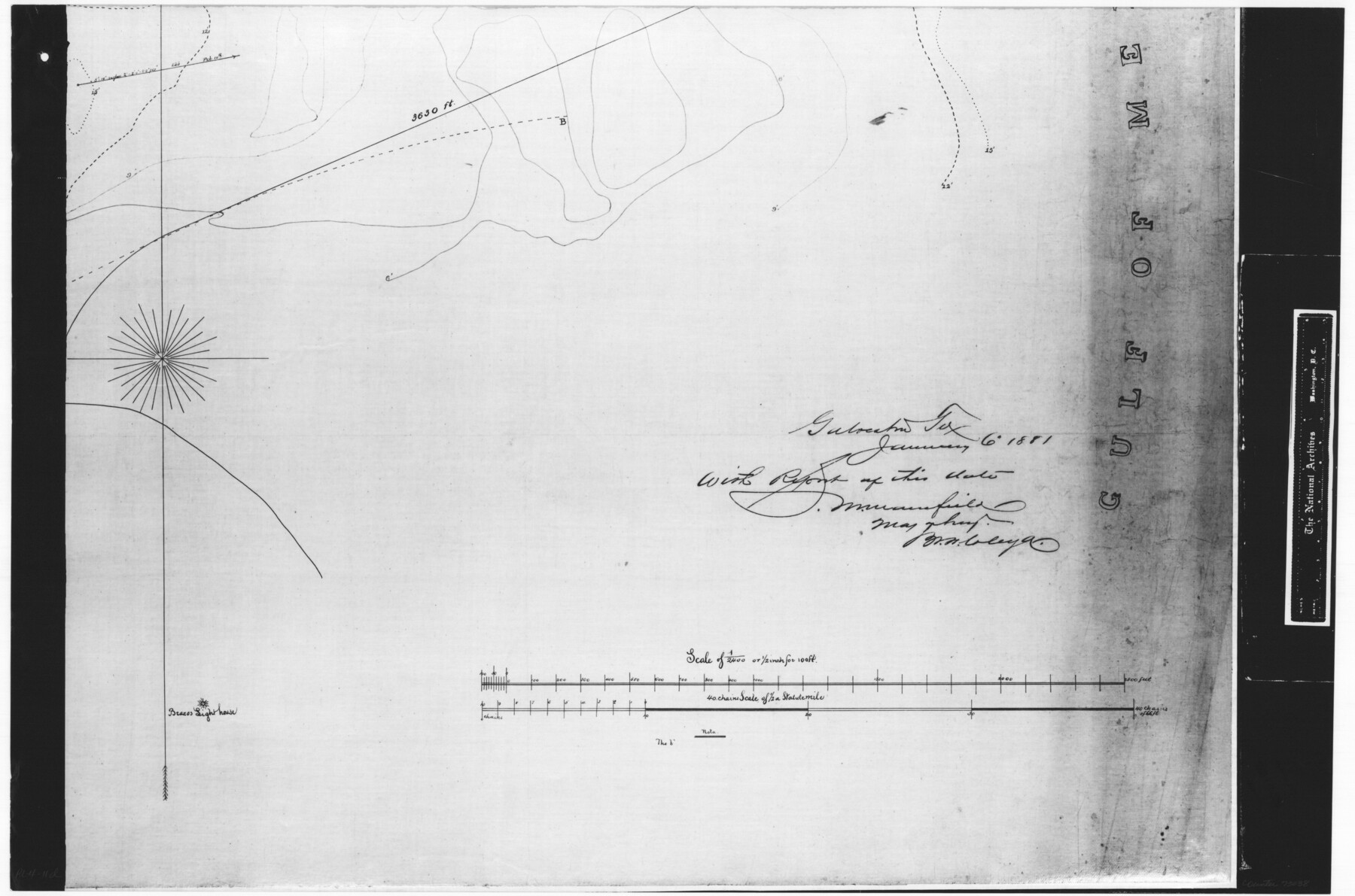
Harbor Pass and Bar at Brazos Santiago, Texas
RL-4-11d
-
Map/Doc
73038
-
Collection
General Map Collection
-
Object Dates
1871/2/10 (Creation Date)
-
People and Organizations
U. S. Army Engineers (Publisher)
H.M. Adams (Surveyor/Engineer)
-
Subjects
Nautical Charts
-
Height x Width
18.1 x 27.4 inches
46.0 x 69.6 cm
-
Comments
B/W photostat copy from National Archives in multiple pieces.
Part of: General Map Collection
Aransas County Rolled Sketch 27A

Print $2.00
- Digital $50.00
Aransas County Rolled Sketch 27A
1930
Size 8.9 x 7.2 inches
Map/Doc 5058
Gonzales County Working Sketch 12

Print $20.00
- Digital $50.00
Gonzales County Working Sketch 12
1981
Size 13.1 x 11.9 inches
Map/Doc 63228
Flight Mission No. DCL-6C, Frame 48, Kenedy County

Print $20.00
- Digital $50.00
Flight Mission No. DCL-6C, Frame 48, Kenedy County
1943
Size 18.7 x 22.3 inches
Map/Doc 85890
Hood County Working Sketch 11

Print $20.00
- Digital $50.00
Hood County Working Sketch 11
1976
Size 19.7 x 25.2 inches
Map/Doc 66205
Jim Hogg County Sketch File 3

Print $6.00
- Digital $50.00
Jim Hogg County Sketch File 3
1926
Size 11.0 x 8.6 inches
Map/Doc 28401
Hardin County Working Sketch 28

Print $20.00
- Digital $50.00
Hardin County Working Sketch 28
1956
Size 18.8 x 18.9 inches
Map/Doc 63426
Flight Mission No. CUG-1P, Frame 41, Kleberg County

Print $20.00
- Digital $50.00
Flight Mission No. CUG-1P, Frame 41, Kleberg County
1956
Size 18.7 x 22.3 inches
Map/Doc 86119
Flight Mission No. DCL-6C, Frame 25, Kenedy County

Print $20.00
- Digital $50.00
Flight Mission No. DCL-6C, Frame 25, Kenedy County
1943
Size 18.4 x 22.4 inches
Map/Doc 85882
Presidio County Working Sketch 27

Print $20.00
- Digital $50.00
Presidio County Working Sketch 27
1945
Size 32.4 x 13.4 inches
Map/Doc 71703
Newton County Sketch File 4a

Print $4.00
- Digital $50.00
Newton County Sketch File 4a
Size 12.6 x 8.0 inches
Map/Doc 32362
Atascosa County Sketch File 1a

Print $4.00
- Digital $50.00
Atascosa County Sketch File 1a
1858
Size 14.1 x 8.8 inches
Map/Doc 13722
Ector County Boundary File 2

Print $4.00
- Digital $50.00
Ector County Boundary File 2
Size 13.2 x 8.2 inches
Map/Doc 52834
You may also like
The Coast & Bays of Western Texas, St. Joseph's and Mustang Islands from actual survey, the remainder from county maps, etc.

Print $20.00
- Digital $50.00
The Coast & Bays of Western Texas, St. Joseph's and Mustang Islands from actual survey, the remainder from county maps, etc.
1857
Size 28.0 x 18.3 inches
Map/Doc 72767

Parker County

Print $20.00
- Digital $50.00
Parker County
1942
Size 47.7 x 38.9 inches
Map/Doc 95609
Midland County Boundary File 2

Print $24.00
- Digital $50.00
Midland County Boundary File 2
Size 8.9 x 5.5 inches
Map/Doc 57162
San Benito, Texas on the Frisco in the Lower Rio Grande Valley

San Benito, Texas on the Frisco in the Lower Rio Grande Valley
1911
Map/Doc 96727
Borden County Sketch File 3b

Print $40.00
- Digital $50.00
Borden County Sketch File 3b
1902
Size 9.5 x 21.1 inches
Map/Doc 10933
Clay County Sketch File 11a

Print $22.00
- Digital $50.00
Clay County Sketch File 11a
1861
Size 18.3 x 11.9 inches
Map/Doc 11084
Montgomery County Rolled Sketch 29

Print $20.00
- Digital $50.00
Montgomery County Rolled Sketch 29
1948
Size 36.4 x 31.7 inches
Map/Doc 9537
Brewster County Sketch File S-2

Print $16.00
- Digital $50.00
Brewster County Sketch File S-2
1910
Size 17.0 x 11.0 inches
Map/Doc 15731
Red River County Rolled Sketch 7A

Print $20.00
- Digital $50.00
Red River County Rolled Sketch 7A
Size 28.3 x 33.1 inches
Map/Doc 7472
Harris County Sketch File 77

Print $26.00
- Digital $50.00
Harris County Sketch File 77
1953
Size 11.3 x 8.8 inches
Map/Doc 25546
[Town Plat of Galveston]
![76258, [Town Plat of Galveston], Texas State Library and Archives](https://historictexasmaps.com/wmedia_w700/maps/76258.tif.jpg)
Print $20.00
[Town Plat of Galveston]
1877
Size 9.1 x 14.5 inches
Map/Doc 76258