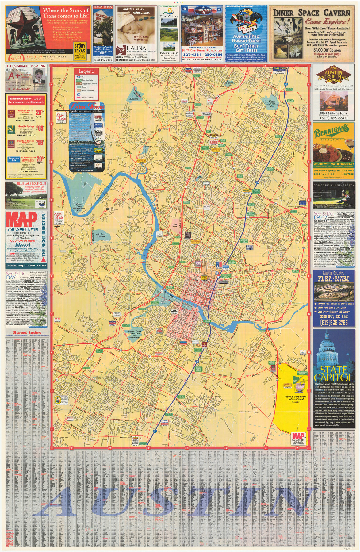
Austin Street Map & Guide
[Recto - Map of Austin]
-
Map/Doc
94383
-
Collection
General Map Collection
-
Object Dates
2004 (Copyright Date)
-
People and Organizations
MAP Austin (Publisher)
-
Counties
Travis
-
Subjects
City
-
Height x Width
35.2 x 23.0 inches
89.4 x 58.4 cm
-
Medium
paper, etching/engraving/lithograph
-
Comments
For advertising on verso, see 94384. For research only.
Related maps

Part of: General Map Collection
Flight Mission No. DAH-9M, Frame 85, Orange County

Print $20.00
- Digital $50.00
Flight Mission No. DAH-9M, Frame 85, Orange County
1953
Size 18.5 x 22.7 inches
Map/Doc 86849
Hutchinson County Working Sketch 42

Print $20.00
- Digital $50.00
Hutchinson County Working Sketch 42
1978
Size 27.3 x 23.2 inches
Map/Doc 66402
Nacogdoches County Working Sketch 1

Print $20.00
- Digital $50.00
Nacogdoches County Working Sketch 1
Size 27.8 x 35.8 inches
Map/Doc 71217
Houston County Rolled Sketch 3

Print $57.00
- Digital $50.00
Houston County Rolled Sketch 3
1935
Size 23.5 x 23.4 inches
Map/Doc 6226
Moore County Working Sketch 16

Print $20.00
- Digital $50.00
Moore County Working Sketch 16
1981
Size 26.3 x 23.2 inches
Map/Doc 71198
Wharton County Rolled Sketch 11

Print $20.00
- Digital $50.00
Wharton County Rolled Sketch 11
Size 27.7 x 37.1 inches
Map/Doc 8236
Haskell County

Print $20.00
- Digital $50.00
Haskell County
1879
Size 21.0 x 20.4 inches
Map/Doc 1127
Hamilton County Boundary File 7

Print $32.00
- Digital $50.00
Hamilton County Boundary File 7
Size 17.6 x 11.4 inches
Map/Doc 54227
Comanche County Sketch File 22a

Print $2.00
- Digital $50.00
Comanche County Sketch File 22a
Size 8.2 x 7.6 inches
Map/Doc 19108
Webb County Working Sketch 31

Print $20.00
- Digital $50.00
Webb County Working Sketch 31
1937
Size 23.2 x 26.0 inches
Map/Doc 72396
Flight Mission No. DQN-2K, Frame 29, Calhoun County

Print $20.00
- Digital $50.00
Flight Mission No. DQN-2K, Frame 29, Calhoun County
1953
Size 18.7 x 22.3 inches
Map/Doc 84236
Flight Mission No. DAG-23K, Frame 167, Matagorda County

Print $20.00
- Digital $50.00
Flight Mission No. DAG-23K, Frame 167, Matagorda County
1953
Size 15.9 x 19.1 inches
Map/Doc 86505
You may also like
Nueces County Rolled Sketch 114

Print $20.00
- Digital $50.00
Nueces County Rolled Sketch 114
1992
Size 18.1 x 24.6 inches
Map/Doc 7125
McMullen County Working Sketch 58

Print $40.00
- Digital $50.00
McMullen County Working Sketch 58
1984
Size 61.2 x 40.0 inches
Map/Doc 70759
Map of Falls County

Print $20.00
- Digital $50.00
Map of Falls County
1855
Size 21.4 x 23.9 inches
Map/Doc 3532
Johnson County Boundary File 51a

Print $66.00
- Digital $50.00
Johnson County Boundary File 51a
Size 12.7 x 8.2 inches
Map/Doc 55604
Controlled Mosaic by Jack Amman Photogrammetric Engineers, Inc - Sheet 22

Print $20.00
- Digital $50.00
Controlled Mosaic by Jack Amman Photogrammetric Engineers, Inc - Sheet 22
1954
Size 20.0 x 24.0 inches
Map/Doc 83471
Gregg County Rolled Sketch 13

Print $64.00
- Digital $50.00
Gregg County Rolled Sketch 13
1940
Size 10.5 x 15.5 inches
Map/Doc 45439
Hudspeth County Working Sketch 34

Print $40.00
- Digital $50.00
Hudspeth County Working Sketch 34
1977
Size 63.1 x 37.3 inches
Map/Doc 66319
Flight Mission No. CGI-3N, Frame 106, Cameron County

Print $20.00
- Digital $50.00
Flight Mission No. CGI-3N, Frame 106, Cameron County
1954
Size 18.5 x 22.2 inches
Map/Doc 84586
Flight Mission No. DCL-4C, Frame 4, Kenedy County

Print $20.00
- Digital $50.00
Flight Mission No. DCL-4C, Frame 4, Kenedy County
1943
Size 18.7 x 22.3 inches
Map/Doc 85805

Nacogdoches County Rolled Sketch 2

Print $20.00
- Digital $50.00
Nacogdoches County Rolled Sketch 2
1949
Size 44.3 x 42.3 inches
Map/Doc 46837
Lipscomb County Boundary File 12

Print $4.00
- Digital $50.00
Lipscomb County Boundary File 12
Size 10.6 x 8.1 inches
Map/Doc 56351