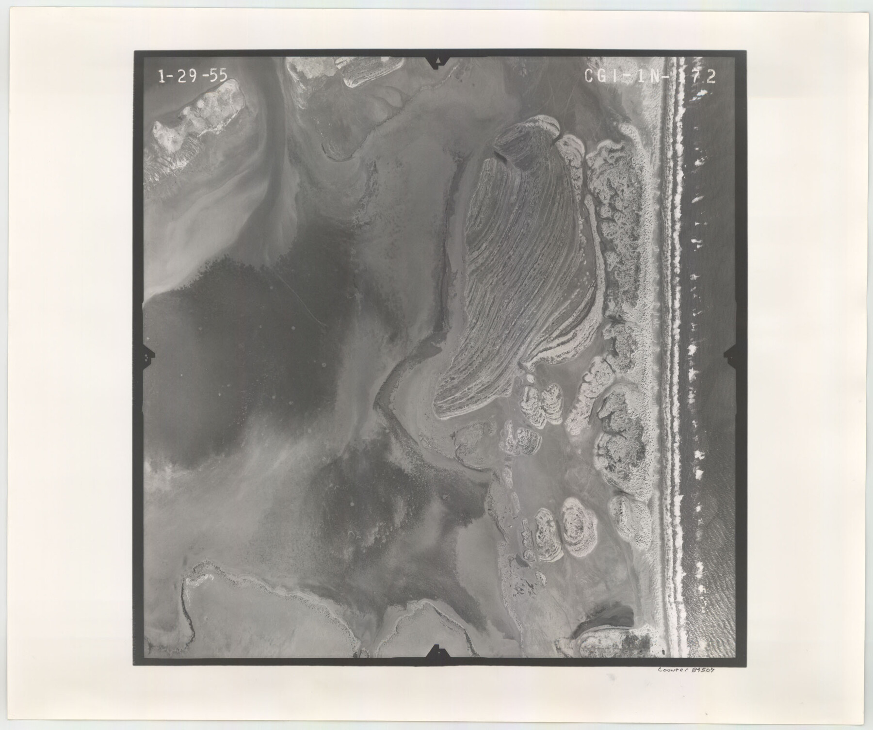
Flight Mission No. CGI-1N, Frame 172, Cameron County
CGI-1N-172
-
Map/Doc
84507
-
Collection
General Map Collection
-
Object Dates
1955/1/29 (Creation Date)
-
People and Organizations
U. S. Department of Agriculture (Publisher)
-
Counties
Cameron
-
Subjects
Aerial Photograph
-
Height x Width
18.5 x 22.2 inches
47.0 x 56.4 cm
-
Comments
Flown by Puckett Aerial Surveys, Inc. of Jackson, Mississippi.
Part of: General Map Collection
Hemphill County Rolled Sketch 10

Print $20.00
- Digital $50.00
Hemphill County Rolled Sketch 10
Size 19.4 x 27.6 inches
Map/Doc 6192
Henderson County Sketch File 14

Print $4.00
- Digital $50.00
Henderson County Sketch File 14
1889
Size 10.7 x 7.3 inches
Map/Doc 26355
Chambers County NRC Article 33.136 Sketch 10

Print $44.00
- Digital $50.00
Chambers County NRC Article 33.136 Sketch 10
2014
Size 24.0 x 36.0 inches
Map/Doc 94498
Harris County Sketch File 103

Print $18.00
- Digital $50.00
Harris County Sketch File 103
1992
Size 11.3 x 8.9 inches
Map/Doc 25965
Galveston County Sketch File 29

Print $40.00
- Digital $50.00
Galveston County Sketch File 29
Size 35.1 x 29.3 inches
Map/Doc 10454
San Antonio & Aransas Pass

Print $40.00
- Digital $50.00
San Antonio & Aransas Pass
Size 30.9 x 74.5 inches
Map/Doc 64633
Chambers County Sketch File 32

Print $8.00
- Digital $50.00
Chambers County Sketch File 32
1900
Size 7.1 x 10.6 inches
Map/Doc 17616
Eastland County Working Sketch 53

Print $20.00
- Digital $50.00
Eastland County Working Sketch 53
1982
Size 22.9 x 27.4 inches
Map/Doc 68834
Flight Mission No. BRA-7M, Frame 199, Jefferson County

Print $20.00
- Digital $50.00
Flight Mission No. BRA-7M, Frame 199, Jefferson County
1953
Size 18.7 x 22.4 inches
Map/Doc 85567
Navarro County Sketch File 19

Print $14.00
- Digital $50.00
Navarro County Sketch File 19
1951
Size 11.4 x 8.8 inches
Map/Doc 32336
Map of the New England or Eastern States (Inset 1: Map of New Brunswick, Nova Scotia and Newfoundland / Inset 2: Vicinity of Boston and Providence / Inset 3: Vicinity of New Haven and Hartford)

Print $20.00
- Digital $50.00
Map of the New England or Eastern States (Inset 1: Map of New Brunswick, Nova Scotia and Newfoundland / Inset 2: Vicinity of Boston and Providence / Inset 3: Vicinity of New Haven and Hartford)
1844
Size 17.8 x 11.8 inches
Map/Doc 93495
Andrews County Rolled Sketch 41

Print $20.00
- Digital $50.00
Andrews County Rolled Sketch 41
Size 18.0 x 24.0 inches
Map/Doc 77181
You may also like
Intracoastal Waterway - Laguna Madre - Chubby Island to Stover Point including the Arroyo Colorado, Texas

Print $20.00
- Digital $50.00
Intracoastal Waterway - Laguna Madre - Chubby Island to Stover Point including the Arroyo Colorado, Texas
1976
Size 16.0 x 43.9 inches
Map/Doc 75901
Presidio County Rolled Sketch WR1

Print $20.00
- Digital $50.00
Presidio County Rolled Sketch WR1
1927
Size 20.4 x 23.0 inches
Map/Doc 7421
Coast Chart No. 210 Aransas Pass and Corpus Christi Bay with the coast to latitude 27° 12' Texas

Print $20.00
- Digital $50.00
Coast Chart No. 210 Aransas Pass and Corpus Christi Bay with the coast to latitude 27° 12' Texas
1887
Size 27.6 x 18.3 inches
Map/Doc 72790
Fisher County Rolled Sketch 7

Print $20.00
- Digital $50.00
Fisher County Rolled Sketch 7
2009
Size 28.6 x 24.6 inches
Map/Doc 89988
Mustang Island, Nueces County

Print $20.00
- Digital $50.00
Mustang Island, Nueces County
1952
Size 39.5 x 35.4 inches
Map/Doc 1918
Jefferson County NRC Article 33.136 Location Key Sheet

Print $20.00
- Digital $50.00
Jefferson County NRC Article 33.136 Location Key Sheet
1970
Size 27.0 x 23.0 inches
Map/Doc 82995
Eastern Heights Addition to City of Lubbock, Texas a Subdivision of SW/4 of SW/4, Section 5, Block O, E. Hayes Sieber, Owner

Print $20.00
- Digital $50.00
Eastern Heights Addition to City of Lubbock, Texas a Subdivision of SW/4 of SW/4, Section 5, Block O, E. Hayes Sieber, Owner
1952
Size 18.0 x 23.1 inches
Map/Doc 92783
Map of Lavaca County

Print $20.00
- Digital $50.00
Map of Lavaca County
1884
Size 21.7 x 22.5 inches
Map/Doc 3804
St. Marks to Galveston - Sheet II

Print $20.00
- Digital $50.00
St. Marks to Galveston - Sheet II
1846
Size 26.5 x 40.5 inches
Map/Doc 97397
Wichita County Working Sketch 29

Print $20.00
- Digital $50.00
Wichita County Working Sketch 29
2014
Size 16.7 x 20.0 inches
Map/Doc 93688
Kleberg County Boundary File 2d

Print $20.00
- Digital $50.00
Kleberg County Boundary File 2d
Size 9.1 x 34.6 inches
Map/Doc 64980
Pecos County Working Sketch 10

Print $20.00
- Digital $50.00
Pecos County Working Sketch 10
1907
Size 25.9 x 23.9 inches
Map/Doc 71480