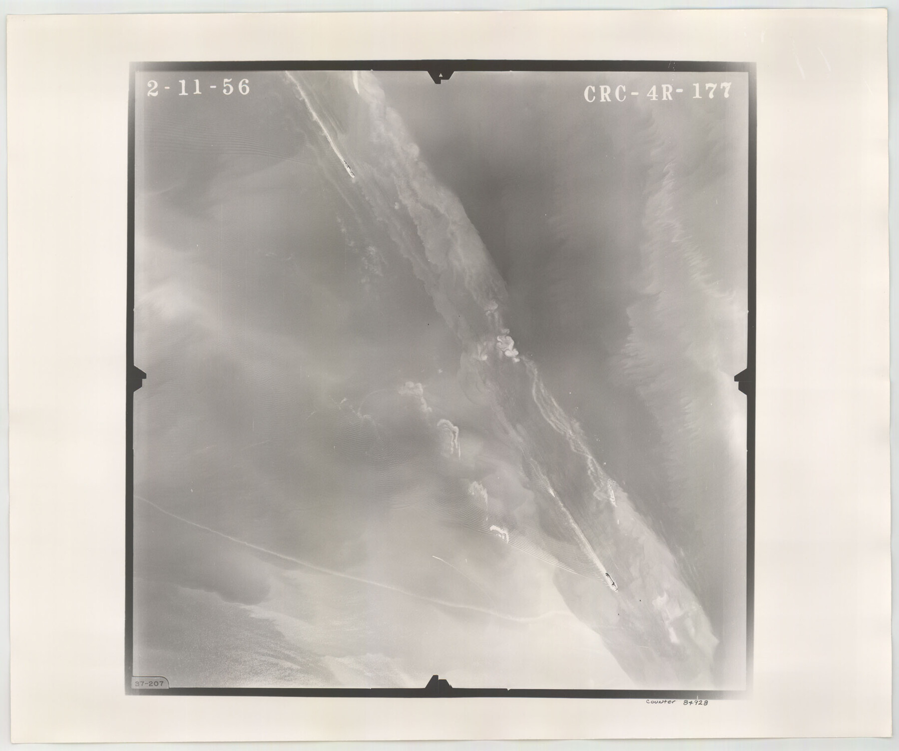
Flight Mission No. CRC-4R, Frame 177, Chambers County
CRC-4R-177
-
Map/Doc
84928
-
Collection
General Map Collection
-
Object Dates
1956/2/11 (Creation Date)
-
People and Organizations
U. S. Department of Agriculture (Publisher)
-
Counties
Chambers
-
Subjects
Aerial Photograph
-
Height x Width
18.7 x 22.3 inches
47.5 x 56.6 cm
-
Comments
Flown by Jack Ammann Photogrammetric Engineers, Inc. of San Antonio, Texas.
Part of: General Map Collection
Kimble County Boundary File 2

Print $26.00
- Digital $50.00
Kimble County Boundary File 2
Size 9.6 x 6.2 inches
Map/Doc 64833
Oldham County Sketch File 18

Print $6.00
- Digital $50.00
Oldham County Sketch File 18
1910
Size 8.9 x 8.5 inches
Map/Doc 33272
Motley County Working Sketch 1

Print $20.00
- Digital $50.00
Motley County Working Sketch 1
1895
Size 16.3 x 21.2 inches
Map/Doc 71206
Flight Mission No. DQN-5K, Frame 61, Calhoun County

Print $20.00
- Digital $50.00
Flight Mission No. DQN-5K, Frame 61, Calhoun County
1953
Size 18.7 x 22.3 inches
Map/Doc 84404
Map of La Salle County

Print $20.00
- Digital $50.00
Map of La Salle County
1877
Size 29.7 x 21.6 inches
Map/Doc 3796
Young County Sketch File 1

Print $8.00
- Digital $50.00
Young County Sketch File 1
1853
Size 7.9 x 9.7 inches
Map/Doc 40843
Harris County Working Sketch 39

Print $20.00
- Digital $50.00
Harris County Working Sketch 39
1940
Size 21.6 x 20.1 inches
Map/Doc 65931
Parker County Sketch File 45

Print $10.00
- Digital $50.00
Parker County Sketch File 45
1935
Size 11.0 x 8.5 inches
Map/Doc 33610
[Surveys in Austin's Colony along the Brazos River]
![213, [Surveys in Austin's Colony along the Brazos River], General Map Collection](https://historictexasmaps.com/wmedia_w700/maps/213.tif.jpg)
Print $20.00
- Digital $50.00
[Surveys in Austin's Colony along the Brazos River]
1824
Size 12.9 x 14.5 inches
Map/Doc 213
Haskell County Sketch File 16

Print $32.00
- Digital $50.00
Haskell County Sketch File 16
1894
Size 11.2 x 8.8 inches
Map/Doc 26163
Webb County Working Sketch 91

Print $40.00
- Digital $50.00
Webb County Working Sketch 91
1982
Size 37.1 x 49.7 inches
Map/Doc 72458
Flight Mission No. CRC-3R, Frame 207, Chambers County

Print $20.00
- Digital $50.00
Flight Mission No. CRC-3R, Frame 207, Chambers County
1956
Size 18.6 x 22.3 inches
Map/Doc 84862
You may also like
McMullen County Working Sketch 17

Print $20.00
- Digital $50.00
McMullen County Working Sketch 17
1941
Size 35.1 x 21.8 inches
Map/Doc 70718
Hardin County Sketch File 68

Print $20.00
- Digital $50.00
Hardin County Sketch File 68
1948
Size 23.9 x 21.4 inches
Map/Doc 11640
Burnet County Boundary File 12

Print $14.00
- Digital $50.00
Burnet County Boundary File 12
Size 8.2 x 6.0 inches
Map/Doc 50949
Aransas County Sketch File 33

Print $34.00
- Digital $50.00
Aransas County Sketch File 33
1919
Size 14.4 x 8.8 inches
Map/Doc 13303
Concho County Sketch File 31

Print $30.00
- Digital $50.00
Concho County Sketch File 31
1911
Size 11.2 x 9.0 inches
Map/Doc 19175
Haskell County Rolled Sketch 3

Print $20.00
- Digital $50.00
Haskell County Rolled Sketch 3
1902
Size 18.1 x 21.0 inches
Map/Doc 6164
Flight Mission No. CUG-2P, Frame 29, Kleberg County

Print $20.00
- Digital $50.00
Flight Mission No. CUG-2P, Frame 29, Kleberg County
1956
Size 18.6 x 22.4 inches
Map/Doc 86194
Limestone County Sketch File 11

Print $4.00
- Digital $50.00
Limestone County Sketch File 11
1881
Size 7.9 x 9.5 inches
Map/Doc 30177
Real County Working Sketch 79

Print $20.00
- Digital $50.00
Real County Working Sketch 79
1981
Size 19.8 x 22.2 inches
Map/Doc 71971
Webb County Working Sketch 35

Print $40.00
- Digital $50.00
Webb County Working Sketch 35
1939
Size 54.5 x 36.2 inches
Map/Doc 72400
Newton County Sketch File 7

Print $4.00
- Digital $50.00
Newton County Sketch File 7
1872
Size 6.1 x 8.3 inches
Map/Doc 32374
Pecos County Sketch File 28

Print $20.00
- Digital $50.00
Pecos County Sketch File 28
1927
Size 23.4 x 21.6 inches
Map/Doc 12168