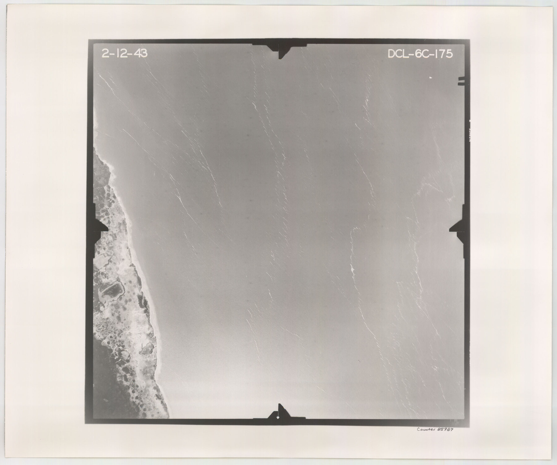
Flight Mission No. DCL-6C, Frame 175, Kenedy County
DCL-6C-175
-
Map/Doc
85987
-
Collection
General Map Collection
-
Object Dates
1943/2/12 (Creation Date)
-
People and Organizations
U. S. Department of Agriculture (Publisher)
-
Counties
Kenedy
-
Subjects
Aerial Photograph
-
Height x Width
18.6 x 22.3 inches
47.2 x 56.6 cm
-
Comments
Flown by Aerial Surveys of Pittsburgh, Inc. of Pittsburgh, Pennsylvania.
Part of: General Map Collection
Atascosa County Working Sketch 5

Print $3.00
- Digital $50.00
Atascosa County Working Sketch 5
1913
Size 10.9 x 11.3 inches
Map/Doc 67201
Falls County Boundary File 1a

Print $56.00
- Digital $50.00
Falls County Boundary File 1a
1888
Size 14.6 x 9.2 inches
Map/Doc 53253
[Map showing the location of the Pecos Valley Railway through H. &. G. N. R.R. Co. Land in Reeves Co., Texas]
![64706, [Map showing the location of the Pecos Valley Railway through H. &. G. N. R.R. Co. Land in Reeves Co., Texas], General Map Collection](https://historictexasmaps.com/wmedia_w700/maps/64706.tif.jpg)
Print $40.00
- Digital $50.00
[Map showing the location of the Pecos Valley Railway through H. &. G. N. R.R. Co. Land in Reeves Co., Texas]
1891
Size 38.5 x 118.2 inches
Map/Doc 64706
Coleman County Sketch File 37

Print $4.00
- Digital $50.00
Coleman County Sketch File 37
1891
Size 11.1 x 8.4 inches
Map/Doc 18742
Val Verde County Working Sketch 103

Print $20.00
- Digital $50.00
Val Verde County Working Sketch 103
1981
Size 37.1 x 39.9 inches
Map/Doc 72238
Flight Mission No. CGI-1N, Frame 134, Cameron County

Print $20.00
- Digital $50.00
Flight Mission No. CGI-1N, Frame 134, Cameron County
1955
Size 18.5 x 22.1 inches
Map/Doc 84490
Hale County Sketch File 21

Print $20.00
- Digital $50.00
Hale County Sketch File 21
Size 7.0 x 26.6 inches
Map/Doc 11597
Key to Photo Index Sheets of Texas Coast Portion

Print $20.00
- Digital $50.00
Key to Photo Index Sheets of Texas Coast Portion
1954
Size 20.0 x 24.0 inches
Map/Doc 83437
Jack County Sketch File 3

Print $6.00
- Digital $50.00
Jack County Sketch File 3
1857
Size 10.6 x 16.5 inches
Map/Doc 27504
University Land Field Notes for Blocks K, L, M, and N in Hudspeth County

University Land Field Notes for Blocks K, L, M, and N in Hudspeth County
Map/Doc 81713
Webb County Rolled Sketch 48

Print $20.00
- Digital $50.00
Webb County Rolled Sketch 48
1943
Size 20.1 x 37.3 inches
Map/Doc 8204
Haskell County Rolled Sketch 7

Print $20.00
- Digital $50.00
Haskell County Rolled Sketch 7
1940
Size 22.0 x 26.5 inches
Map/Doc 6167
You may also like
King County Working Sketch 4

Print $20.00
- Digital $50.00
King County Working Sketch 4
1939
Size 42.9 x 25.7 inches
Map/Doc 70168
Presidio County Rolled Sketch A-1

Print $20.00
- Digital $50.00
Presidio County Rolled Sketch A-1
1889
Size 26.8 x 32.0 inches
Map/Doc 9769
Flight Mission No. DAH-9M, Frame 164, Orange County

Print $20.00
- Digital $50.00
Flight Mission No. DAH-9M, Frame 164, Orange County
1953
Size 18.6 x 22.3 inches
Map/Doc 86863
Eastland County Working Sketch 61

Print $20.00
- Digital $50.00
Eastland County Working Sketch 61
1989
Size 35.4 x 41.0 inches
Map/Doc 68842
Kerr County Rolled Sketch 16

Print $20.00
- Digital $50.00
Kerr County Rolled Sketch 16
1951
Size 40.6 x 31.1 inches
Map/Doc 9346
Flight Mission No. CUG-3P, Frame 19, Kleberg County

Print $20.00
- Digital $50.00
Flight Mission No. CUG-3P, Frame 19, Kleberg County
1956
Size 18.7 x 22.3 inches
Map/Doc 86229

Marion County Rolled Sketch 3

Print $20.00
- Digital $50.00
Marion County Rolled Sketch 3
1955
Size 35.4 x 35.5 inches
Map/Doc 9490
Kimble County Working Sketch 76

Print $20.00
- Digital $50.00
Kimble County Working Sketch 76
1969
Size 27.7 x 41.0 inches
Map/Doc 70144
Map of Newton Co.

Print $20.00
- Digital $50.00
Map of Newton Co.
1905
Size 47.5 x 38.9 inches
Map/Doc 5020
Wise County Sketch File 33

Print $22.00
- Digital $50.00
Wise County Sketch File 33
Size 13.7 x 18.1 inches
Map/Doc 40590
Hockley County Sketch File 7

Print $20.00
- Digital $50.00
Hockley County Sketch File 7
Size 21.0 x 22.5 inches
Map/Doc 11770