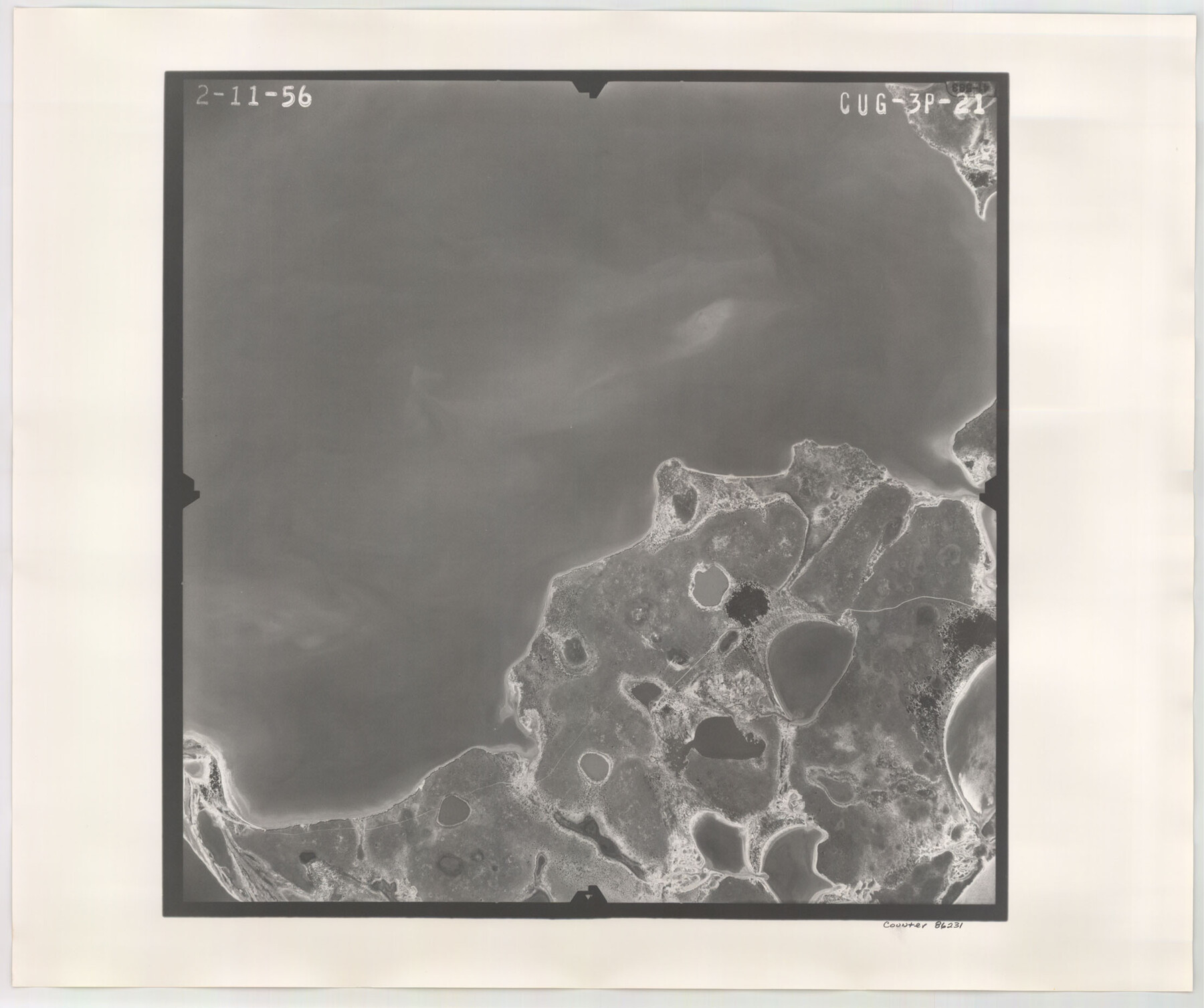
Flight Mission No. CUG-3P, Frame 21, Kleberg County
CUG-3P-21
-
Map/Doc
86231
-
Collection
General Map Collection
-
Object Dates
1956/2/11 (Creation Date)
-
People and Organizations
U. S. Department of Agriculture (Publisher)
-
Counties
Kleberg
-
Subjects
Aerial Photograph
-
Height x Width
18.6 x 22.2 inches
47.2 x 56.4 cm
-
Comments
Flown by V. L. Beavers and Associates of San Antonio, Texas.
Part of: General Map Collection
Frio County Working Sketch 3

Print $20.00
- Digital $50.00
Frio County Working Sketch 3
1921
Size 20.8 x 21.1 inches
Map/Doc 69277
Nolan County Working Sketch 5

Print $3.00
- Digital $50.00
Nolan County Working Sketch 5
1950
Size 9.7 x 13.9 inches
Map/Doc 71296
Kleberg County NRC Article 33.136 Sketch 1

Print $143.00
- Digital $50.00
Kleberg County NRC Article 33.136 Sketch 1
2000
Size 18.5 x 23.6 inches
Map/Doc 6555
Montgomery County Working Sketch 1

Print $20.00
- Digital $50.00
Montgomery County Working Sketch 1
1912
Size 20.8 x 17.1 inches
Map/Doc 71107
[Beaumont, Sour Lake and Western Ry. Right of Way and Alignment - Frisco]
![64118, [Beaumont, Sour Lake and Western Ry. Right of Way and Alignment - Frisco], General Map Collection](https://historictexasmaps.com/wmedia_w700/maps/64118.tif.jpg)
Print $20.00
- Digital $50.00
[Beaumont, Sour Lake and Western Ry. Right of Way and Alignment - Frisco]
1910
Size 20.1 x 46.1 inches
Map/Doc 64118
Val Verde County Rolled Sketch 63

Print $20.00
- Digital $50.00
Val Verde County Rolled Sketch 63
1956
Size 37.5 x 41.8 inches
Map/Doc 10082
Flight Mission No. DAG-24K, Frame 139, Matagorda County

Print $20.00
- Digital $50.00
Flight Mission No. DAG-24K, Frame 139, Matagorda County
1953
Size 18.5 x 22.3 inches
Map/Doc 86557
Dimmit County Rolled Sketch 23

Print $20.00
- Digital $50.00
Dimmit County Rolled Sketch 23
2015
Size 18.1 x 24.3 inches
Map/Doc 93792
Presidio County Working Sketch 128

Print $20.00
- Digital $50.00
Presidio County Working Sketch 128
1987
Size 37.3 x 29.0 inches
Map/Doc 71806
Harris County Rolled Sketch 88

Print $20.00
- Digital $50.00
Harris County Rolled Sketch 88
1935
Size 19.2 x 22.5 inches
Map/Doc 6123
Flight Mission No. DQN-7K, Frame 6, Calhoun County

Print $20.00
- Digital $50.00
Flight Mission No. DQN-7K, Frame 6, Calhoun County
1953
Size 18.8 x 22.4 inches
Map/Doc 84457
Coryell County Milam District

Print $20.00
- Digital $50.00
Coryell County Milam District
1883
Size 25.7 x 24.6 inches
Map/Doc 3446
You may also like
Gray County Rolled Sketch 3

Print $105.00
- Digital $50.00
Gray County Rolled Sketch 3
Size 10.6 x 15.5 inches
Map/Doc 45287
Howard County Sketch File 1

Print $34.00
- Digital $50.00
Howard County Sketch File 1
1903
Size 8.9 x 8.6 inches
Map/Doc 26839
Anderson County Working Sketch 3

Print $20.00
- Digital $50.00
Anderson County Working Sketch 3
Size 15.4 x 14.1 inches
Map/Doc 67002
Marion County Working Sketch 36

Print $20.00
- Digital $50.00
Marion County Working Sketch 36
1987
Size 23.5 x 28.9 inches
Map/Doc 70812
Wharton County Rolled Sketch 10

Print $20.00
- Digital $50.00
Wharton County Rolled Sketch 10
Size 21.9 x 32.8 inches
Map/Doc 8234
Flight Mission No. DQN-2K, Frame 98, Calhoun County

Print $20.00
- Digital $50.00
Flight Mission No. DQN-2K, Frame 98, Calhoun County
1953
Size 18.7 x 22.4 inches
Map/Doc 84288
Crockett County Sketch File 77

Print $8.00
- Digital $50.00
Crockett County Sketch File 77
1932
Size 11.2 x 8.7 inches
Map/Doc 19877
Archer County Working Sketch 20

Print $20.00
- Digital $50.00
Archer County Working Sketch 20
1975
Size 31.7 x 24.4 inches
Map/Doc 67161
Trinity River, Bazzette Sheet

Print $20.00
- Digital $50.00
Trinity River, Bazzette Sheet
1925
Size 27.9 x 23.8 inches
Map/Doc 78339
Presidio County Rolled Sketch 7

Print $40.00
- Digital $50.00
Presidio County Rolled Sketch 7
1875
Size 37.5 x 53.8 inches
Map/Doc 9762
Edwards County Working Sketch 93

Print $20.00
- Digital $50.00
Edwards County Working Sketch 93
1966
Size 30.7 x 35.7 inches
Map/Doc 68969
Live Oak County Boundary File 60b

Print $10.00
- Digital $50.00
Live Oak County Boundary File 60b
Size 12.8 x 8.3 inches
Map/Doc 56416