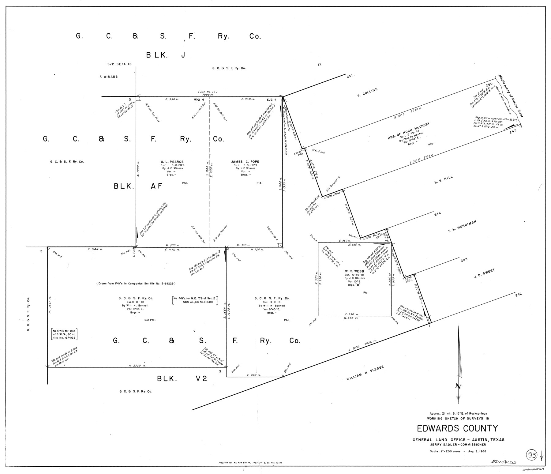
Edwards County Working Sketch 93
-
Map/Doc
68969
-
Collection
General Map Collection
-
Object Dates
8/2/1966 (Creation Date)
-
Counties
Edwards
-
Subjects
Surveying Working Sketch
-
Height x Width
30.7 x 35.7 inches
78.0 x 90.7 cm
-
Scale
1" = 200 varas
Part of: General Map Collection
Rio Grande Rectification Project, El Paso and Juarez Valley

Print $20.00
- Digital $50.00
Rio Grande Rectification Project, El Paso and Juarez Valley
1935
Size 10.9 x 29.6 inches
Map/Doc 60868
Atascosa County Working Sketch 32

Print $20.00
- Digital $50.00
Atascosa County Working Sketch 32
1981
Size 12.9 x 11.8 inches
Map/Doc 67228
Map of The Surveyed Part of Peters Colony Texas

Print $40.00
- Digital $50.00
Map of The Surveyed Part of Peters Colony Texas
1852
Size 53.0 x 28.1 inches
Map/Doc 1964
Duval County Rolled Sketch 13

Print $20.00
- Digital $50.00
Duval County Rolled Sketch 13
1937
Size 33.8 x 30.4 inches
Map/Doc 5735
Childress County Boundary File 2

Print $66.00
- Digital $50.00
Childress County Boundary File 2
Size 7.3 x 3.9 inches
Map/Doc 51306
Armstrong County

Print $20.00
- Digital $50.00
Armstrong County
1933
Size 43.2 x 41.2 inches
Map/Doc 95420
Lamb County Working Sketch 1

Print $20.00
- Digital $50.00
Lamb County Working Sketch 1
1917
Size 40.2 x 43.4 inches
Map/Doc 70274
[Surveys in the Bexar District along the Cibolo Creek]
![98, [Surveys in the Bexar District along the Cibolo Creek], General Map Collection](https://historictexasmaps.com/wmedia_w700/maps/98.tif.jpg)
Print $2.00
- Digital $50.00
[Surveys in the Bexar District along the Cibolo Creek]
1847
Size 13.0 x 7.4 inches
Map/Doc 98

Denton County

Print $20.00
- Digital $50.00
Denton County
1947
Size 43.4 x 39.9 inches
Map/Doc 95480
Nueces River, La Fruta Sheet

Print $20.00
- Digital $50.00
Nueces River, La Fruta Sheet
1927
Size 36.4 x 37.2 inches
Map/Doc 65089
Andrews County Rolled Sketch 40

Print $20.00
- Digital $50.00
Andrews County Rolled Sketch 40
Size 37.2 x 23.0 inches
Map/Doc 77180
You may also like
Pecos County Sketch File 73

Print $48.00
- Digital $50.00
Pecos County Sketch File 73
1940
Size 8.9 x 9.1 inches
Map/Doc 33876
Edwards County Working Sketch 15

Print $20.00
- Digital $50.00
Edwards County Working Sketch 15
1927
Size 30.0 x 28.4 inches
Map/Doc 68891
General Highway Map. Detail of Cities and Towns in Kinney County, Uvalde County [Uvalde and vicinity]
![79557, General Highway Map. Detail of Cities and Towns in Kinney County, Uvalde County [Uvalde and vicinity], Texas State Library and Archives](https://historictexasmaps.com/wmedia_w700/maps/79557.tif.jpg)
Print $20.00
General Highway Map. Detail of Cities and Towns in Kinney County, Uvalde County [Uvalde and vicinity]
1961
Size 18.2 x 24.6 inches
Map/Doc 79557
Flight Mission No. CRC-2R, Frame 61, Chambers County

Print $20.00
- Digital $50.00
Flight Mission No. CRC-2R, Frame 61, Chambers County
1956
Size 18.8 x 22.5 inches
Map/Doc 84732
Presidio County Sketch File 82

Print $22.00
- Digital $50.00
Presidio County Sketch File 82
1949
Size 14.3 x 8.8 inches
Map/Doc 34711
Hamilton County Working Sketch 34

Print $20.00
- Digital $50.00
Hamilton County Working Sketch 34
1995
Size 37.7 x 39.8 inches
Map/Doc 63372
Flight Mission No. DQN-2K, Frame 72, Calhoun County

Print $20.00
- Digital $50.00
Flight Mission No. DQN-2K, Frame 72, Calhoun County
1953
Size 18.6 x 22.3 inches
Map/Doc 84264
Brazoria County Working Sketch 50b

Print $20.00
- Digital $50.00
Brazoria County Working Sketch 50b
2003
Size 34.8 x 34.6 inches
Map/Doc 78345
Harris County Rolled Sketch 88

Print $20.00
- Digital $50.00
Harris County Rolled Sketch 88
1934
Size 35.2 x 23.2 inches
Map/Doc 6120
Castro County Sketch File 4c

Print $4.00
- Digital $50.00
Castro County Sketch File 4c
Size 12.7 x 8.8 inches
Map/Doc 17469
General Highway Map, Crosby County, Texas

Print $20.00
General Highway Map, Crosby County, Texas
1940
Size 18.3 x 25.1 inches
Map/Doc 79063
Liberty County Sketch File 12

Print $6.00
- Digital $50.00
Liberty County Sketch File 12
1858
Size 9.6 x 12.5 inches
Map/Doc 29907