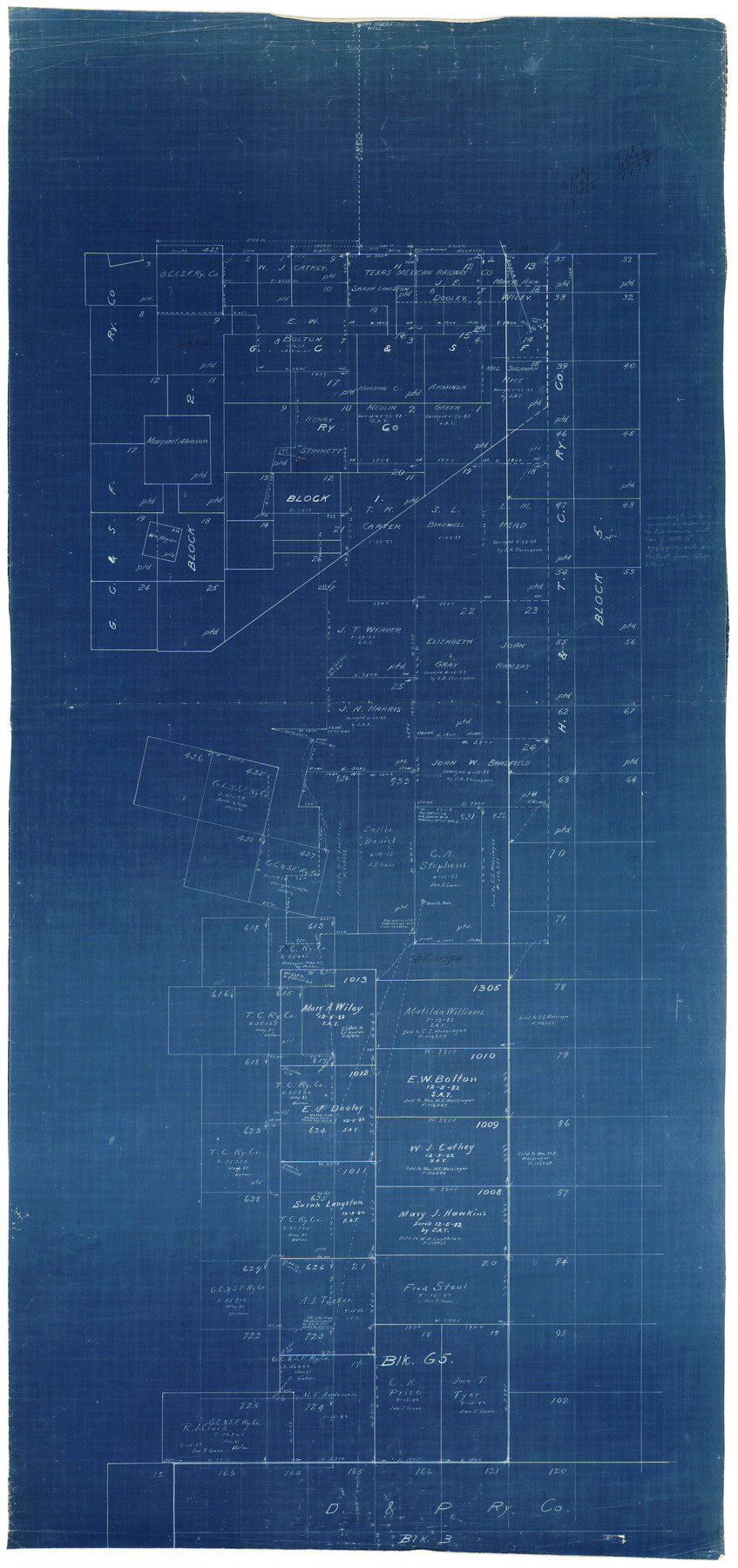
Culberson County Rolled Sketch 29
[Sketch in south part of Culberson County]
-
Map/Doc
8745
-
Collection
General Map Collection
-
Counties
Culberson Jeff Davis
-
Subjects
Surveying Rolled Sketch
-
Height x Width
44.3 x 21.4 inches
112.5 x 54.4 cm
-
Medium
blueprint/diazo
Part of: General Map Collection
Flight Mission No. DCL-6C, Frame 30, Kenedy County

Print $20.00
- Digital $50.00
Flight Mission No. DCL-6C, Frame 30, Kenedy County
1943
Size 18.8 x 22.3 inches
Map/Doc 85887
South Part of El Paso Co.

Print $20.00
- Digital $50.00
South Part of El Paso Co.
1977
Size 36.5 x 47.8 inches
Map/Doc 95491
Parker County Sketch File 42

Print $114.00
- Digital $50.00
Parker County Sketch File 42
1877
Size 14.4 x 12.0 inches
Map/Doc 33589
Fannin County Boundary File 8

Print $8.00
- Digital $50.00
Fannin County Boundary File 8
Size 12.8 x 8.1 inches
Map/Doc 53316
Galveston County Rolled Sketch 7

Print $20.00
- Digital $50.00
Galveston County Rolled Sketch 7
1897
Size 16.0 x 28.4 inches
Map/Doc 5950
Map of San Augustine County

Print $20.00
- Digital $50.00
Map of San Augustine County
1839
Size 22.3 x 18.2 inches
Map/Doc 4011
Cooke County Sketch File 8

Print $4.00
- Digital $50.00
Cooke County Sketch File 8
Size 8.2 x 8.4 inches
Map/Doc 19235
Kimble County Working Sketch 2

Print $20.00
- Digital $50.00
Kimble County Working Sketch 2
Size 20.6 x 17.9 inches
Map/Doc 70070
Flight Mission No. BRA-16M, Frame 122, Jefferson County

Print $20.00
- Digital $50.00
Flight Mission No. BRA-16M, Frame 122, Jefferson County
1953
Size 18.5 x 22.5 inches
Map/Doc 85732
Stephens County Sketch File 26

Print $10.00
- Digital $50.00
Stephens County Sketch File 26
Size 14.1 x 8.8 inches
Map/Doc 37096
Flight Mission No. BRA-7M, Frame 19, Jefferson County

Print $20.00
- Digital $50.00
Flight Mission No. BRA-7M, Frame 19, Jefferson County
1953
Size 18.8 x 22.4 inches
Map/Doc 85470
Copy of Surveyor's Field Book, Morris Browning - In Blocks 7, 5 & 4, I&GNRRCo., Hutchinson and Carson Counties, Texas

Print $2.00
- Digital $50.00
Copy of Surveyor's Field Book, Morris Browning - In Blocks 7, 5 & 4, I&GNRRCo., Hutchinson and Carson Counties, Texas
1888
Size 6.9 x 8.8 inches
Map/Doc 62282
You may also like
Deaf Smith County Working Sketch 1

Print $20.00
- Digital $50.00
Deaf Smith County Working Sketch 1
1919
Size 27.3 x 14.7 inches
Map/Doc 68641
Map Exhibit B, R. B. Violette, M. A. 34719, Gaines County, Texas

Print $20.00
- Digital $50.00
Map Exhibit B, R. B. Violette, M. A. 34719, Gaines County, Texas
Size 30.3 x 23.3 inches
Map/Doc 92654
Map of Texas With Parts of the Adjoining States

Print $20.00
Map of Texas With Parts of the Adjoining States
1837
Size 29.9 x 25.2 inches
Map/Doc 88998
Map of Littlefield's Subdivision of State Capitol Leagues 657-687 Situated in Lamb County, Texas

Print $20.00
- Digital $50.00
Map of Littlefield's Subdivision of State Capitol Leagues 657-687 Situated in Lamb County, Texas
Size 38.8 x 29.7 inches
Map/Doc 92231
Hardin County Sketch File 9a

Print $4.00
- Digital $50.00
Hardin County Sketch File 9a
1860
Size 9.9 x 8.4 inches
Map/Doc 25108
Map of Atascosa County

Print $20.00
- Digital $50.00
Map of Atascosa County
1879
Size 24.5 x 24.8 inches
Map/Doc 3250


Hood County Sketch File 22a

Print $5.00
- Digital $50.00
Hood County Sketch File 22a
Size 13.7 x 9.3 inches
Map/Doc 26617
Brewster County Rolled Sketch 45

Print $20.00
- Digital $50.00
Brewster County Rolled Sketch 45
1921
Size 20.3 x 15.6 inches
Map/Doc 5221
Webb County Working Sketch 12

Print $20.00
- Digital $50.00
Webb County Working Sketch 12
1921
Size 15.9 x 14.6 inches
Map/Doc 72377
Gregg County Sketch File 1C

Print $6.00
- Digital $50.00
Gregg County Sketch File 1C
1847
Size 7.8 x 11.6 inches
Map/Doc 24540