[Capitol Leagues 225-238]
103-38
-
Map/Doc
90675
-
Collection
Twichell Survey Records
-
Counties
Hartley
-
Height x Width
23.1 x 15.5 inches
58.7 x 39.4 cm
Part of: Twichell Survey Records
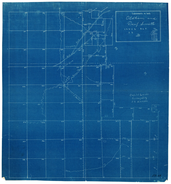
Capitol Lands Surveyed by J. T. Munson

Print $20.00
- Digital $50.00
Capitol Lands Surveyed by J. T. Munson
Size 15.5 x 16.7 inches
Map/Doc 90524
[Sketch showing Blocks B5, B6 and G.&M. Block 5 north of Capitol Land]
![92990, [Sketch showing Blocks B5, B6 and G.&M. Block 5 north of Capitol Land], Twichell Survey Records](https://historictexasmaps.com/wmedia_w700/maps/92990-1.tif.jpg)
![92990, [Sketch showing Blocks B5, B6 and G.&M. Block 5 north of Capitol Land], Twichell Survey Records](https://historictexasmaps.com/wmedia_w700/maps/92990-1.tif.jpg)
Print $20.00
- Digital $50.00
[Sketch showing Blocks B5, B6 and G.&M. Block 5 north of Capitol Land]
Size 20.7 x 38.2 inches
Map/Doc 92990
[Connecting lines from west corner of S. K. & K. Block M6 to northwest corner section 1, J. G. & S. M. Blk. 2Z]
![90399, [Connecting lines from west corner of S. K. & K. Block M6 to northwest corner section 1, J. G. & S. M. Blk. 2Z], Twichell Survey Records](https://historictexasmaps.com/wmedia_w700/maps/90399-1.tif.jpg)
![90399, [Connecting lines from west corner of S. K. & K. Block M6 to northwest corner section 1, J. G. & S. M. Blk. 2Z], Twichell Survey Records](https://historictexasmaps.com/wmedia_w700/maps/90399-1.tif.jpg)
Print $20.00
- Digital $50.00
[Connecting lines from west corner of S. K. & K. Block M6 to northwest corner section 1, J. G. & S. M. Blk. 2Z]
Size 25.1 x 17.0 inches
Map/Doc 90399
[A. B. & M. Block 2]
![91794, [A. B. & M. Block 2], Twichell Survey Records](https://historictexasmaps.com/wmedia_w700/maps/91794-1.tif.jpg)
![91794, [A. B. & M. Block 2], Twichell Survey Records](https://historictexasmaps.com/wmedia_w700/maps/91794-1.tif.jpg)
Print $2.00
- Digital $50.00
[A. B. & M. Block 2]
Size 7.1 x 14.1 inches
Map/Doc 91794
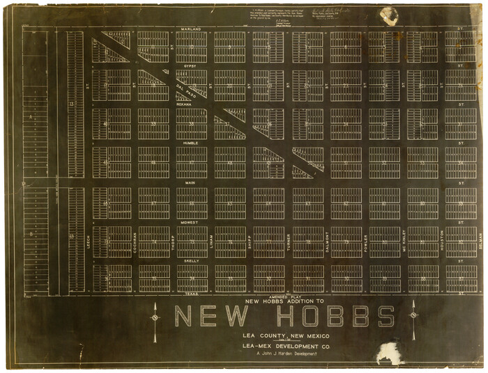
Amended Plat New Hobbs Addition to New Hobbs, Lea County, New Mexico

Print $20.00
- Digital $50.00
Amended Plat New Hobbs Addition to New Hobbs, Lea County, New Mexico
Size 24.1 x 18.5 inches
Map/Doc 92418
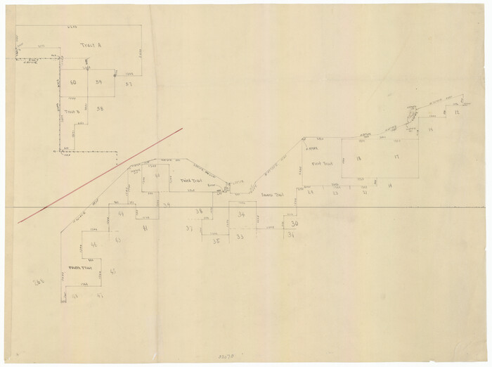
Bravo Deed, Instrument 24, Tract A and Tract B

Digital $50.00
Bravo Deed, Instrument 24, Tract A and Tract B
Map/Doc 91480
[Blocks Z3, K5, 8, and 7]
![90590, [Blocks Z3, K5, 8, and 7], Twichell Survey Records](https://historictexasmaps.com/wmedia_w700/maps/90590-1.tif.jpg)
![90590, [Blocks Z3, K5, 8, and 7], Twichell Survey Records](https://historictexasmaps.com/wmedia_w700/maps/90590-1.tif.jpg)
Print $20.00
- Digital $50.00
[Blocks Z3, K5, 8, and 7]
Size 11.7 x 19.3 inches
Map/Doc 90590
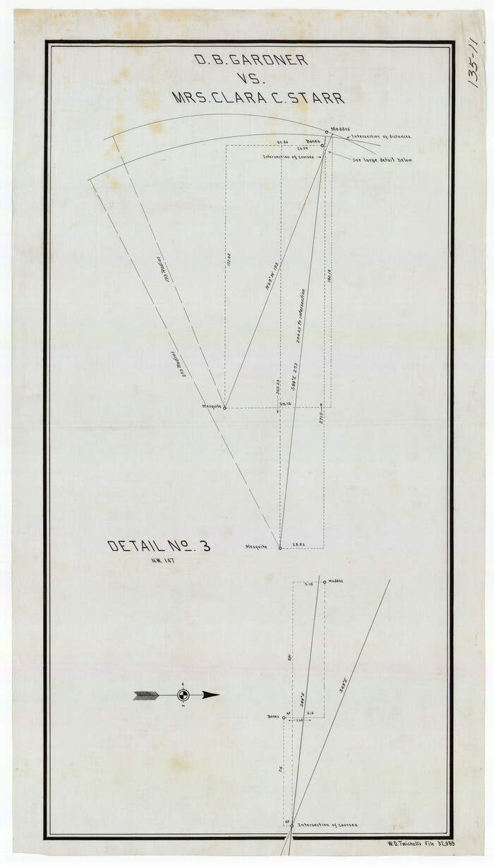
D. B. Gardner vs. Mrs. Clara C. Starr

Print $20.00
- Digital $50.00
D. B. Gardner vs. Mrs. Clara C. Starr
Size 16.3 x 28.5 inches
Map/Doc 91044
[Sketch of "B" Blocks]
![89749, [Sketch of "B" Blocks], Twichell Survey Records](https://historictexasmaps.com/wmedia_w700/maps/89749-1.tif.jpg)
![89749, [Sketch of "B" Blocks], Twichell Survey Records](https://historictexasmaps.com/wmedia_w700/maps/89749-1.tif.jpg)
Print $40.00
- Digital $50.00
[Sketch of "B" Blocks]
Size 61.7 x 38.1 inches
Map/Doc 89749
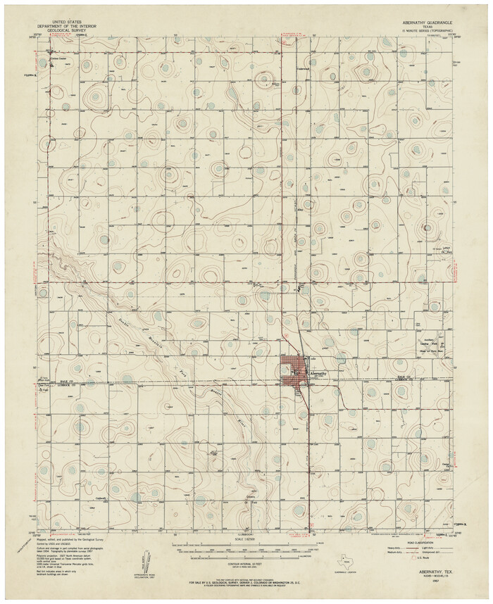
Abernathy Quadrangle

Print $20.00
- Digital $50.00
Abernathy Quadrangle
Size 17.6 x 21.4 inches
Map/Doc 92813
Sketch in Block 9, Potter County Texas


Print $20.00
- Digital $50.00
Sketch in Block 9, Potter County Texas
1945
Size 15.7 x 18.5 inches
Map/Doc 91719
[Sketch showing conflict between G. C. & S. F. Ry. Co. Block 194 and State University Blocks 16 and 17]
![91627, [Sketch showing conflict between G. C. & S. F. Ry. Co. Block 194 and State University Blocks 16 and 17], Twichell Survey Records](https://historictexasmaps.com/wmedia_w700/maps/91627-1.tif.jpg)
![91627, [Sketch showing conflict between G. C. & S. F. Ry. Co. Block 194 and State University Blocks 16 and 17], Twichell Survey Records](https://historictexasmaps.com/wmedia_w700/maps/91627-1.tif.jpg)
Print $3.00
- Digital $50.00
[Sketch showing conflict between G. C. & S. F. Ry. Co. Block 194 and State University Blocks 16 and 17]
1900
Size 11.1 x 12.1 inches
Map/Doc 91627
You may also like
Duval County Rolled Sketch 39


Print $20.00
- Digital $50.00
Duval County Rolled Sketch 39
1956
Size 29.0 x 20.1 inches
Map/Doc 5756
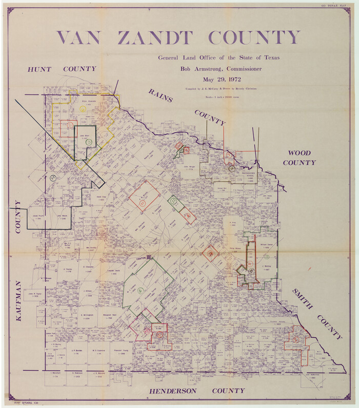
Van Zandt County Working Sketch Graphic Index

Print $20.00
- Digital $50.00
Van Zandt County Working Sketch Graphic Index
1972
Size 46.2 x 40.7 inches
Map/Doc 76727
Glasscock County Rolled Sketch 6


Print $20.00
- Digital $50.00
Glasscock County Rolled Sketch 6
1946
Size 19.9 x 22.5 inches
Map/Doc 6017
[Blocks Y2 and I]
![91261, [Blocks Y2 and I], Twichell Survey Records](https://historictexasmaps.com/wmedia_w700/maps/91261-1.tif.jpg)
![91261, [Blocks Y2 and I], Twichell Survey Records](https://historictexasmaps.com/wmedia_w700/maps/91261-1.tif.jpg)
Print $20.00
- Digital $50.00
[Blocks Y2 and I]
Size 17.8 x 13.8 inches
Map/Doc 91261
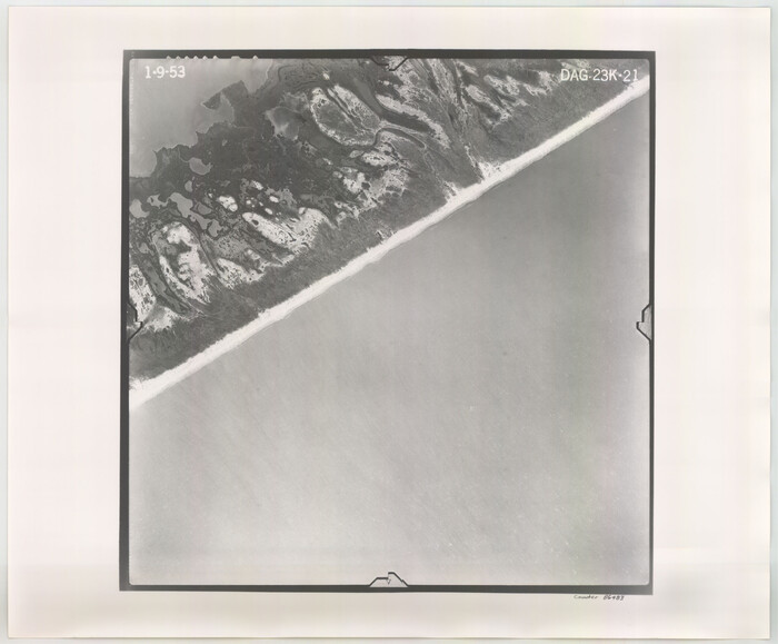
Flight Mission No. DAG-23K, Frame 21, Matagorda County

Print $20.00
- Digital $50.00
Flight Mission No. DAG-23K, Frame 21, Matagorda County
1953
Size 18.4 x 22.3 inches
Map/Doc 86483
Jackson County Sketch File 21


Print $70.00
- Digital $50.00
Jackson County Sketch File 21
2000
Size 11.3 x 8.8 inches
Map/Doc 27673
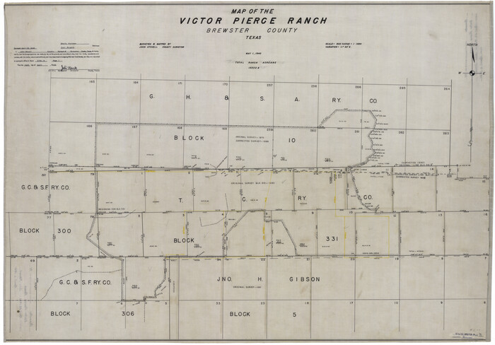
Brewster County Rolled Sketch 71

Print $20.00
- Digital $50.00
Brewster County Rolled Sketch 71
1940
Size 29.9 x 42.9 inches
Map/Doc 8491
PSL Field Notes for Blocks 1 and 2, Hansford and Sherman Counties, Blocks 3 and 4, Hansford County, Blocks A1, A2, A4, A5, and A6 in Hartley County, Block C0 in Hockley, Lubbock, Lynn, and Terry Counties, and Blocks A and B in Kent County


PSL Field Notes for Blocks 1 and 2, Hansford and Sherman Counties, Blocks 3 and 4, Hansford County, Blocks A1, A2, A4, A5, and A6 in Hartley County, Block C0 in Hockley, Lubbock, Lynn, and Terry Counties, and Blocks A and B in Kent County
Map/Doc 81655
McMullen County Rolled Sketch 11


Print $20.00
- Digital $50.00
McMullen County Rolled Sketch 11
Size 32.2 x 22.3 inches
Map/Doc 6728
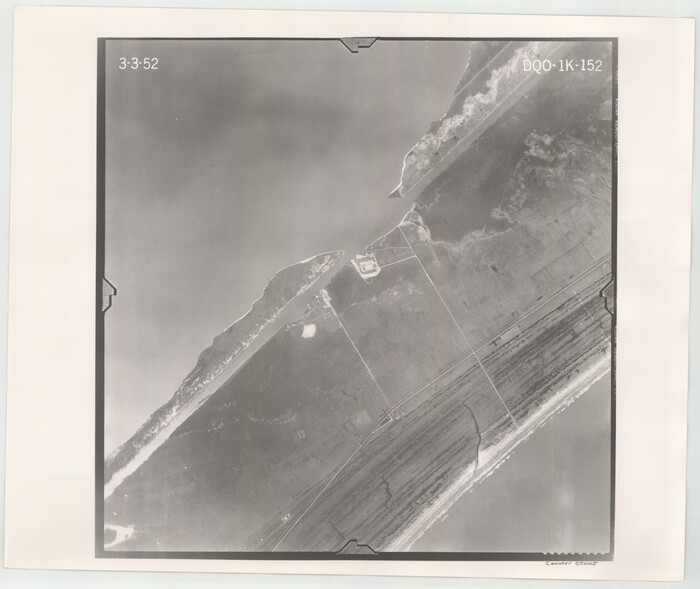
Flight Mission No. DQO-1K, Frame 152, Galveston County

Print $20.00
- Digital $50.00
Flight Mission No. DQO-1K, Frame 152, Galveston County
1952
Size 18.9 x 22.5 inches
Map/Doc 85005
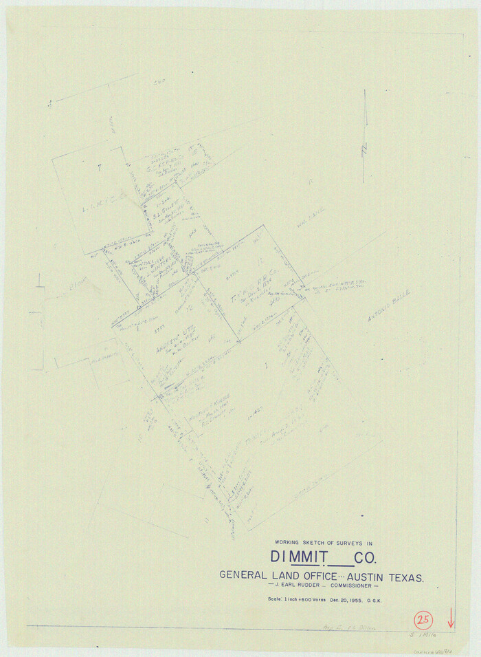
Dimmit County Working Sketch 25

Print $20.00
- Digital $50.00
Dimmit County Working Sketch 25
1955
Size 24.9 x 18.3 inches
Map/Doc 68686
Marion County Rolled Sketch F


Print $40.00
- Digital $50.00
Marion County Rolled Sketch F
1937
Size 43.5 x 67.1 inches
Map/Doc 9487
![90675, [Capitol Leagues 225-238], Twichell Survey Records](https://historictexasmaps.com/wmedia_w1800h1800/maps/90675-1.tif.jpg)