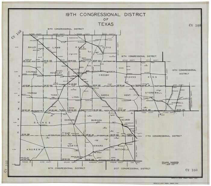
19th Congressional District of Texas

Bailey County Rolled Sketch 2
1913
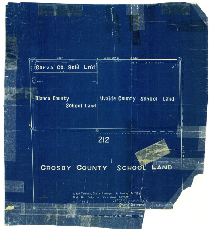
Bailey County Rolled Sketch 3
1913

Bailey County Rolled Sketch 6
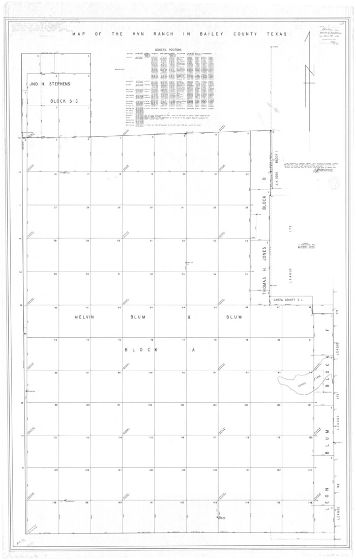
Bailey County Rolled Sketch 7
1941
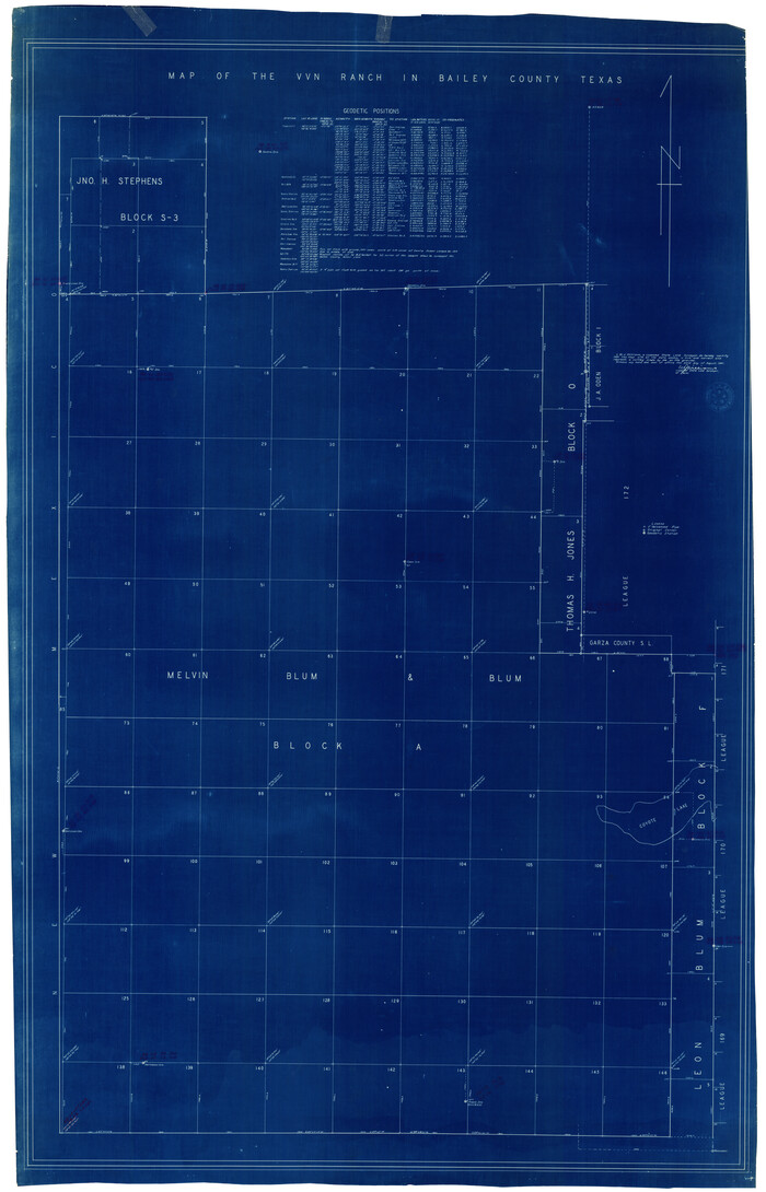
Bailey County Rolled Sketch 7
1941

Bailey County Rolled Sketch R and C
1913
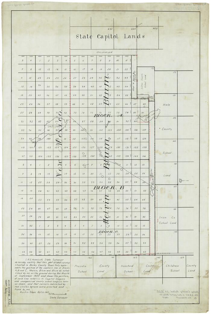
Bailey County Rolled Sketch RSH
1907
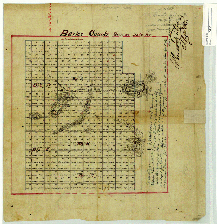
Bailey County Sketch File 1
1882
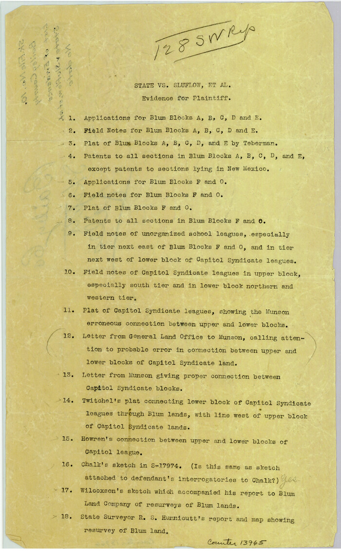
Bailey County Sketch File 10

Bailey County Sketch File 11
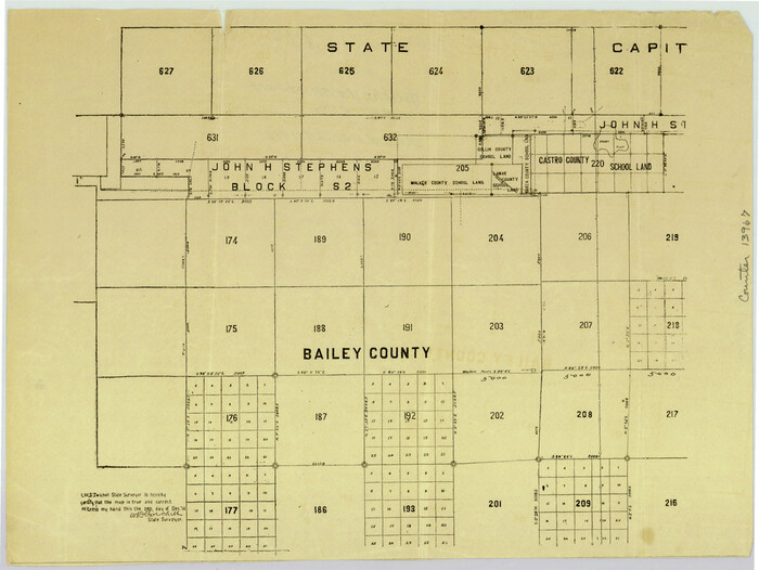
Bailey County Sketch File 11a
1912

Bailey County Sketch File 12
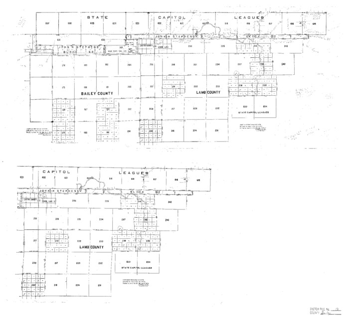
Bailey County Sketch File 13
1912
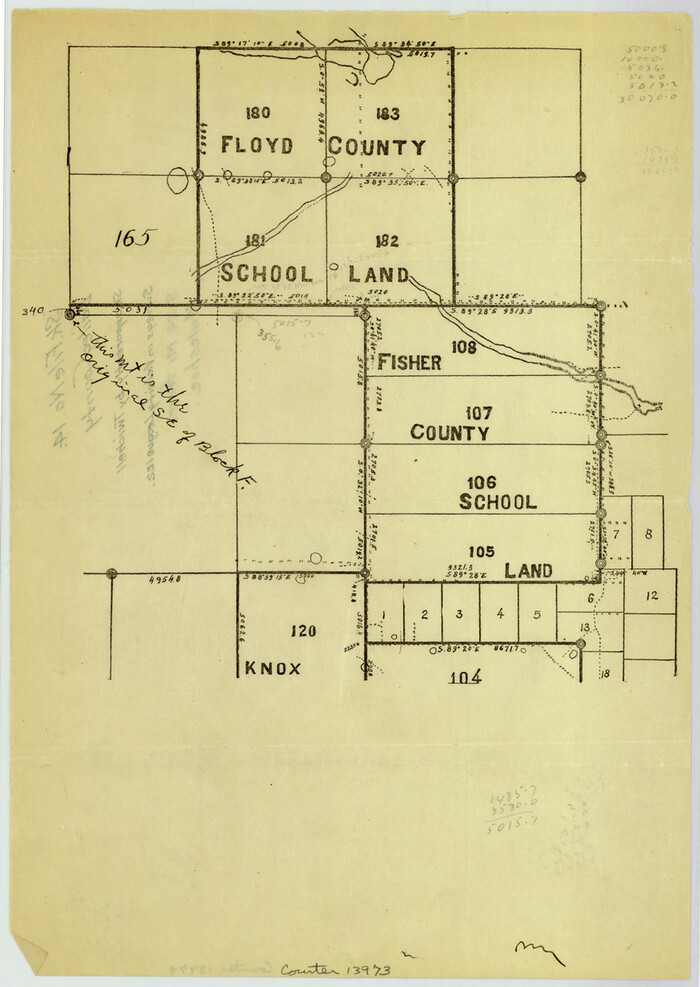
Bailey County Sketch File 14

Bailey County Sketch File 15
1912
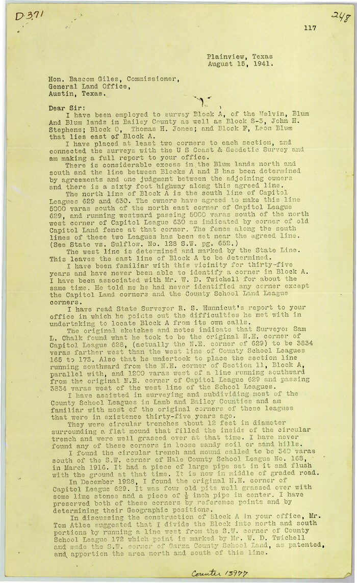
Bailey County Sketch File 16
1941
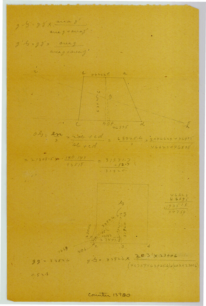
Bailey County Sketch File 17
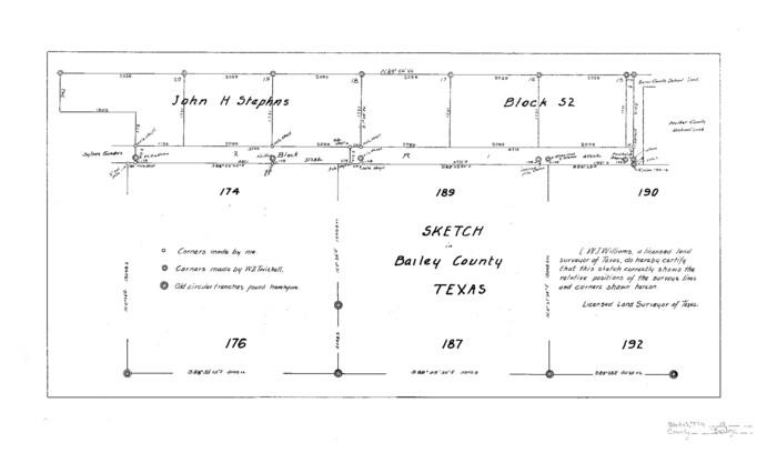
Bailey County Sketch File 18

19th Congressional District of Texas
-
Size
33.1 x 28.9 inches
-
Map/Doc
92610
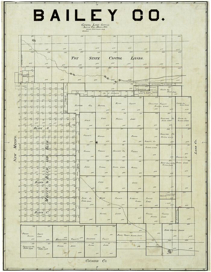
Bailey Co.
1900
-
Size
42.8 x 33.2 inches
-
Map/Doc
4879
-
Creation Date
1900

Bailey Co.
1900
-
Size
44.0 x 33.3 inches
-
Map/Doc
810
-
Creation Date
1900
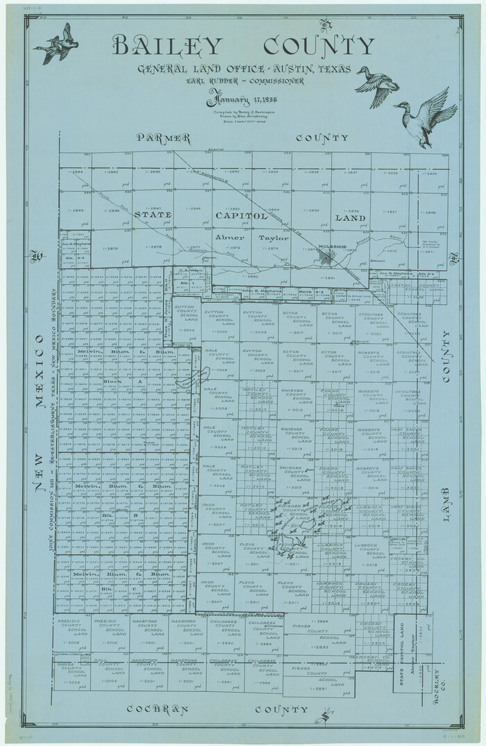
Bailey County
1956
-
Size
48.5 x 31.6 inches
-
Map/Doc
1776
-
Creation Date
1956

Bailey County
1884
-
Size
25.0 x 19.7 inches
-
Map/Doc
3256
-
Creation Date
1884
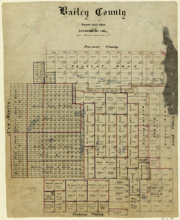
Bailey County
1891
-
Size
25.8 x 21.2 inches
-
Map/Doc
3257
-
Creation Date
1891

Bailey County
1913
-
Size
28.0 x 22.0 inches
-
Map/Doc
4765
-
Creation Date
1913

Bailey County
1913
-
Size
28.8 x 22.3 inches
-
Map/Doc
66707
-
Creation Date
1913
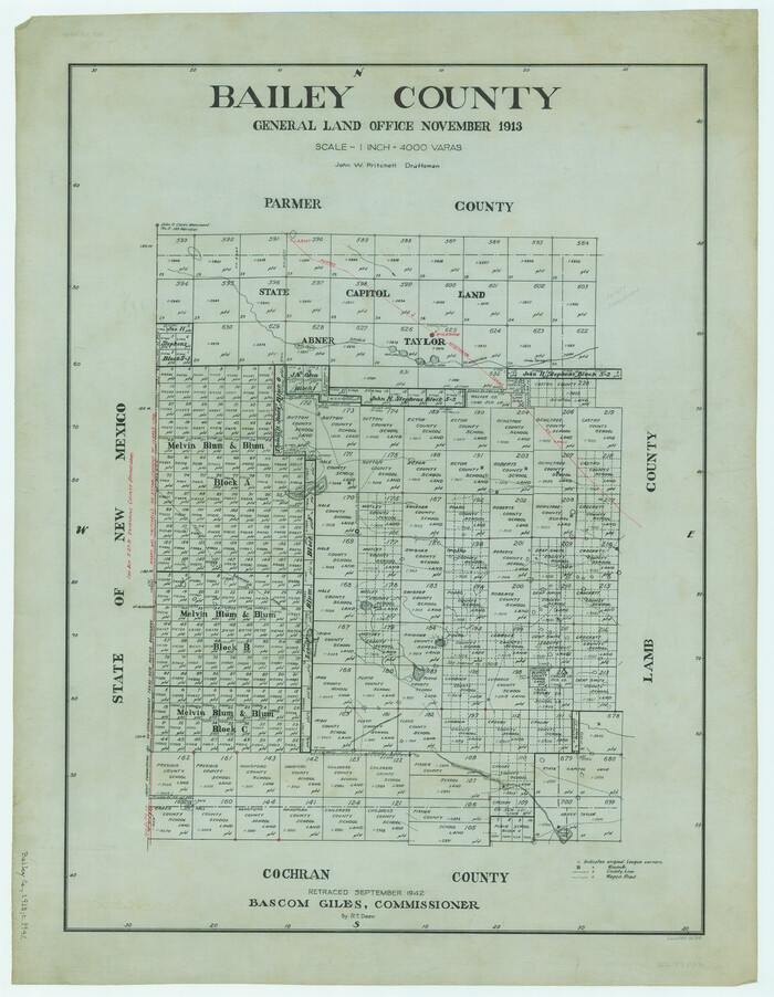
Bailey County
1913
-
Size
29.0 x 22.5 inches
-
Map/Doc
66708
-
Creation Date
1913

Bailey County
1956
-
Size
48.8 x 31.5 inches
-
Map/Doc
73074
-
Creation Date
1956
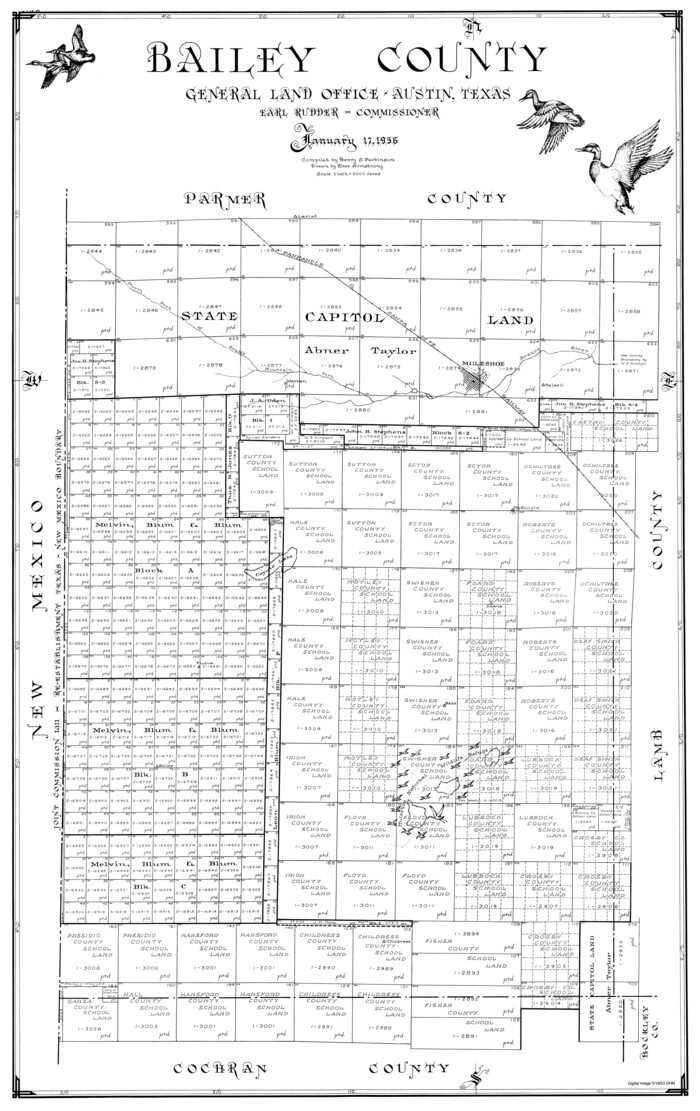
Bailey County
1956
-
Size
47.0 x 30.0 inches
-
Map/Doc
77206
-
Creation Date
1956

Bailey County
1956
-
Size
49.4 x 31.4 inches
-
Map/Doc
95423
-
Creation Date
1956

Bailey County Rolled Sketch 2
1913
-
Size
26.8 x 21.4 inches
-
Map/Doc
5109
-
Creation Date
1913

Bailey County Rolled Sketch 3
1913
-
Size
15.2 x 13.8 inches
-
Map/Doc
5110
-
Creation Date
1913

Bailey County Rolled Sketch 6
-
Size
17.4 x 12.9 inches
-
Map/Doc
5111

Bailey County Rolled Sketch 7
1941
-
Size
67.7 x 44.8 inches
-
Map/Doc
8438
-
Creation Date
1941

Bailey County Rolled Sketch 7
1941
-
Size
67.1 x 43.1 inches
-
Map/Doc
8931
-
Creation Date
1941

Bailey County Rolled Sketch R and C
1913
-
Size
10.1 x 16.0 inches
-
Map/Doc
42350
-
Creation Date
1913

Bailey County Rolled Sketch RSH
1907
-
Size
34.3 x 23.3 inches
-
Map/Doc
5112
-
Creation Date
1907

Bailey County Sketch File 1
1882
-
Size
15.8 x 15.3 inches
-
Map/Doc
10880
-
Creation Date
1882

Bailey County Sketch File 10
-
Size
14.1 x 8.7 inches
-
Map/Doc
13965

Bailey County Sketch File 11
-
Size
21.6 x 20.5 inches
-
Map/Doc
10886

Bailey County Sketch File 11a
1912
-
Size
8.4 x 11.1 inches
-
Map/Doc
13967
-
Creation Date
1912

Bailey County Sketch File 12
-
Size
8.3 x 12.0 inches
-
Map/Doc
13969

Bailey County Sketch File 13
1912
-
Size
19.2 x 20.6 inches
-
Map/Doc
10888
-
Creation Date
1912

Bailey County Sketch File 14
-
Size
12.2 x 8.7 inches
-
Map/Doc
13973

Bailey County Sketch File 15
1912
-
Size
8.7 x 11.2 inches
-
Map/Doc
13975
-
Creation Date
1912

Bailey County Sketch File 16
1941
-
Size
14.2 x 8.7 inches
-
Map/Doc
13977
-
Creation Date
1941

Bailey County Sketch File 17
-
Size
10.9 x 7.4 inches
-
Map/Doc
13980

Bailey County Sketch File 18
-
Size
13.3 x 22.9 inches
-
Map/Doc
10889