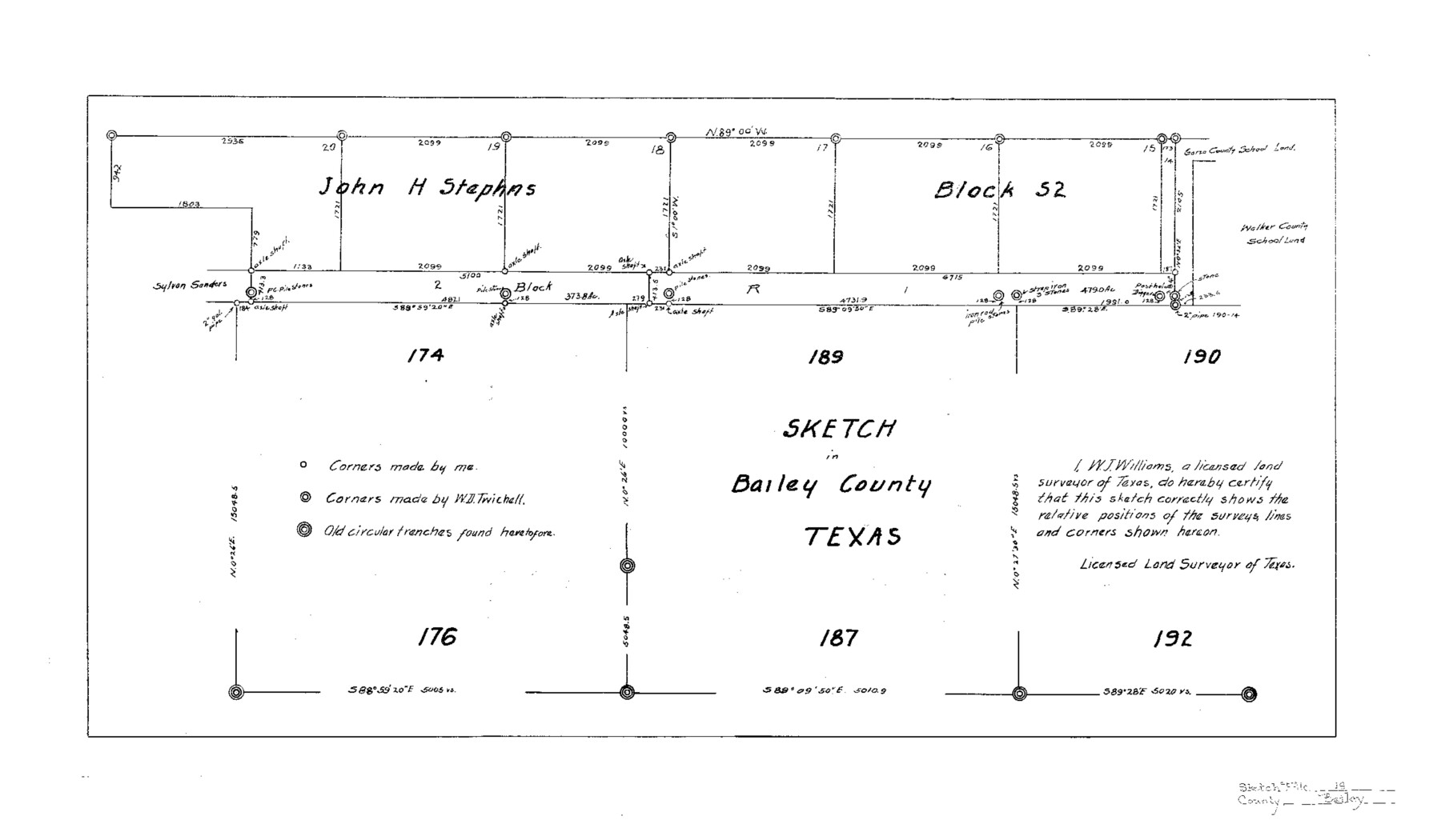
Bailey County Sketch File 18
Sketch in Bailey County, Texas [showing Block S2, John H. Stephens]
-
Map/Doc
10889
-
Collection
General Map Collection
-
People and Organizations
W.J. Williams (Surveyor/Engineer)
-
Counties
Bailey
-
Subjects
Surveying Sketch File
-
Height x Width
13.3 x 22.9 inches
33.8 x 58.2 cm
-
Medium
blueprint/diazo
Part of: General Map Collection
Sketch showing progress of topographical work Laguna Madre and vicinity from Rainey Is. to Baffins Bay, Coast of Texas Sect. IX [and accompanying letter]
![72960, Sketch showing progress of topographical work Laguna Madre and vicinity from Rainey Is. to Baffins Bay, Coast of Texas Sect. IX [and accompanying letter], General Map Collection](https://historictexasmaps.com/wmedia_w700/maps/72960.tif.jpg)
Print $2.00
- Digital $50.00
Sketch showing progress of topographical work Laguna Madre and vicinity from Rainey Is. to Baffins Bay, Coast of Texas Sect. IX [and accompanying letter]
1881
Size 11.1 x 8.8 inches
Map/Doc 72960
Jefferson County Sketch File 27

Print $6.00
- Digital $50.00
Jefferson County Sketch File 27
1901
Size 11.0 x 13.9 inches
Map/Doc 28191
Webb County Rolled Sketch 17

Print $20.00
- Digital $50.00
Webb County Rolled Sketch 17
1915
Size 16.7 x 14.7 inches
Map/Doc 8180
Lampasas County Working Sketch 10

Print $20.00
- Digital $50.00
Lampasas County Working Sketch 10
1963
Size 32.2 x 42.9 inches
Map/Doc 70287
Cooke County Sketch File 29

Print $16.00
- Digital $50.00
Cooke County Sketch File 29
1873
Size 8.2 x 11.0 inches
Map/Doc 19283
El Paso County Rolled Sketch 57A

Print $40.00
- Digital $50.00
El Paso County Rolled Sketch 57A
1984
Size 49.2 x 39.4 inches
Map/Doc 8879
Stonewall County Rolled Sketch 30

Print $20.00
- Digital $50.00
Stonewall County Rolled Sketch 30
Size 25.5 x 37.3 inches
Map/Doc 7874
Morris County Rolled Sketch 2A

Print $20.00
- Digital $50.00
Morris County Rolled Sketch 2A
Size 24.3 x 19.2 inches
Map/Doc 10264
Dimmit County Working Sketch 19

Print $20.00
- Digital $50.00
Dimmit County Working Sketch 19
1948
Size 27.4 x 23.3 inches
Map/Doc 68680
Pecos County Sketch File 86

Print $22.00
- Digital $50.00
Pecos County Sketch File 86
1917
Size 13.4 x 9.0 inches
Map/Doc 33964
Howard County Rolled Sketch 12A

Print $20.00
- Digital $50.00
Howard County Rolled Sketch 12A
1948
Size 23.3 x 13.9 inches
Map/Doc 6244
Travis County Sketch File 71

Print $10.00
- Digital $50.00
Travis County Sketch File 71
1840
Size 12.9 x 8.3 inches
Map/Doc 38456
You may also like
Portion of Scurry County

Print $20.00
- Digital $50.00
Portion of Scurry County
1882
Size 35.1 x 25.3 inches
Map/Doc 92923

Map from Corpus Christi to Matagorda Bays, Texas [Inset: Survey of the channel of Copono Bay]
![72976, Map from Corpus Christi to Matagorda Bays, Texas [Inset: Survey of the channel of Copono Bay], General Map Collection](https://historictexasmaps.com/wmedia_w700/maps/72976.tif.jpg)
Print $20.00
- Digital $50.00
Map from Corpus Christi to Matagorda Bays, Texas [Inset: Survey of the channel of Copono Bay]
1846
Size 18.1 x 27.5 inches
Map/Doc 72976
Callahan County Sketch File 9

Print $40.00
- Digital $50.00
Callahan County Sketch File 9
1880
Size 16.8 x 14.3 inches
Map/Doc 35871
Potter County Sketch File 19

Print $20.00
- Digital $50.00
Potter County Sketch File 19
Size 23.7 x 15.5 inches
Map/Doc 12202

Flight Mission No. BQR-13K, Frame 166, Brazoria County

Print $20.00
- Digital $50.00
Flight Mission No. BQR-13K, Frame 166, Brazoria County
1952
Size 18.8 x 22.3 inches
Map/Doc 84091
Glasscock County Working Sketch 12

Print $40.00
- Digital $50.00
Glasscock County Working Sketch 12
1971
Size 51.2 x 39.0 inches
Map/Doc 63185
Burleson County

Print $20.00
- Digital $50.00
Burleson County
1884
Size 21.9 x 25.2 inches
Map/Doc 3349
Goliad County Working Sketch 25

Print $20.00
- Digital $50.00
Goliad County Working Sketch 25
1994
Size 19.6 x 21.9 inches
Map/Doc 63215
McMullen County Rolled Sketch 23

Print $20.00
- Digital $50.00
McMullen County Rolled Sketch 23
2020
Size 24.5 x 36.3 inches
Map/Doc 95949
Ector County Sketch File 8

Print $20.00
- Digital $50.00
Ector County Sketch File 8
1939
Size 40.9 x 24.9 inches
Map/Doc 10441