49 results

[Sketch between Collingsworth County and Oklahoma]
89673-1.tif
Print $40.00 - Digital $50.00

[Sketch between Collingsworth County and Oklahoma]

Size: 63.2 x 9.1 inches
89673
[Sketch Between Collingsworth County and Oklahoma]
89663-1.tif
Print $40.00 - Digital $50.00

[Sketch Between Collingsworth County and Oklahoma]

Size: 9.4 x 62.5 inches
89663
[Jack District]
1993.tif
Print $40.00 - Digital $50.00

[Jack District]

1878

Size: 42.1 x 64.5 inches
1993
Working Sketch in Collingsworth County [showing East line of County along border with Oklahoma]
92086-1.tif
Print $20.00 - Digital $50.00

Working Sketch in Collingsworth County [showing East line of County along border with Oklahoma]

1910

Size: 4.5 x 25.9 inches
92086
Working Sketch in Childress County
90425-1.tif
Print $20.00 - Digital $50.00

Working Sketch in Childress County

1910

Size: 6.6 x 23.3 inches
90425
Wheeler County Sketch File 7
10431, Wheeler County Sketch File 7, General Map Collection
Print $20.00 - Digital $50.00

Wheeler County Sketch File 7

Size: 38.1 x 47.7 inches
10431
Texas Panhandle East Boundary Line
1702.tif
Print $40.00 - Digital $50.00

Texas Panhandle East Boundary Line

1898

Size: 65.3 x 10.0 inches
1702
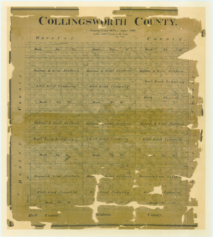
Map of Collingsworth County
4738.tif
Print $20.00 - Digital $50.00

Map of Collingsworth County

1899

Size: 41.1 x 38.6 inches
4738
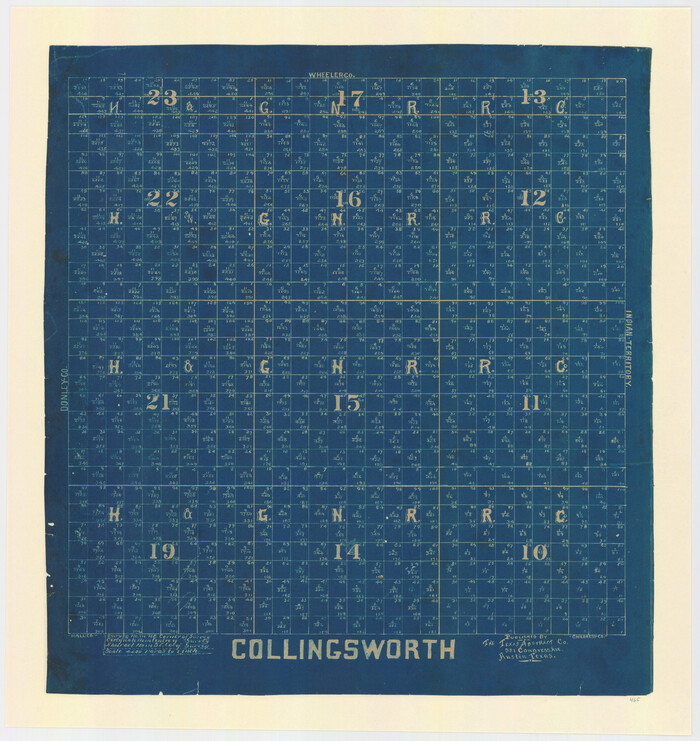
Map of Collingsworth County
4739.tif
Print $20.00 - Digital $50.00

Map of Collingsworth County

1899

Size: 42.8 x 38.5 inches
4739
Lipscomb County Sketch File 4
30233, Lipscomb County Sketch File 4, General Map Collection
Print $56.00 - Digital $50.00

Lipscomb County Sketch File 4

1910

Size: 11.2 x 8.7 inches
30233
Lipscomb County Sketch File 3
10526, Lipscomb County Sketch File 3, General Map Collection
Print $20.00 - Digital $50.00

Lipscomb County Sketch File 3

Size: 36.5 x 8.4 inches
10526
Lipscomb County Rolled Sketch 5
10639.tif
Print $40.00 - Digital $50.00

Lipscomb County Rolled Sketch 5

Size: 9.8 x 62.5 inches
10639
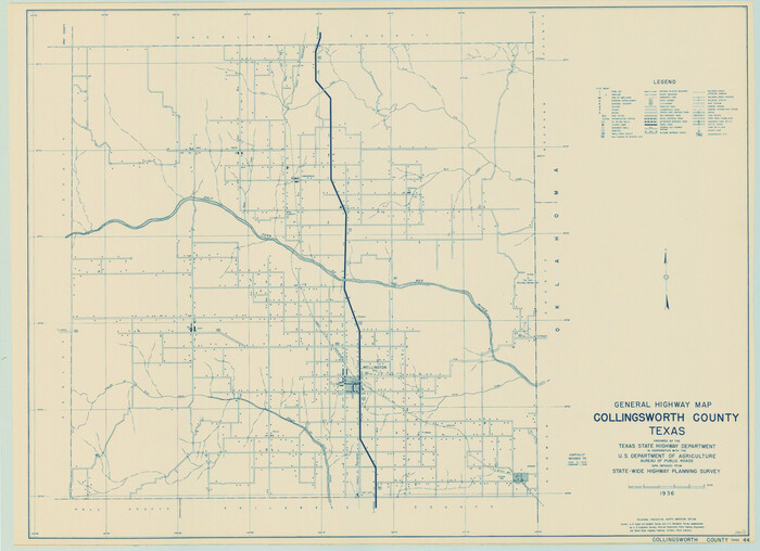
General Highway Map, Collingsworth County, Texas
79053.tif
Print $20.00

General Highway Map, Collingsworth County, Texas

1940
Size: 18.3 x 25.2 inches
79053
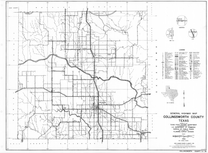
General Highway Map, Collingsworth County, Texas
79415.tif
Print $20.00

General Highway Map, Collingsworth County, Texas

1961
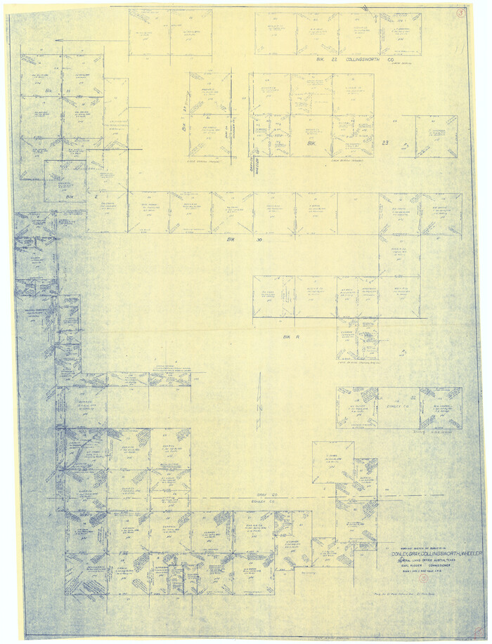
Size: 18.1 x 24.6 inches
79415
Collingsworth County, Texas
465-1.tif
Print $20.00 - Digital $50.00

Collingsworth County, Texas

Size: 18.3 x 16.6 inches
465
Collingsworth County Working Sketch Graphic Index
76499.tif
Print $20.00 - Digital $50.00

Collingsworth County Working Sketch Graphic Index

1971
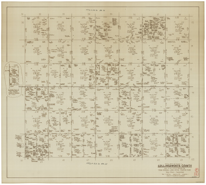
Size: 41.0 x 34.8 inches
76499
Collingsworth County Working Sketch 6
68094.tif
Print $20.00 - Digital $50.00

Collingsworth County Working Sketch 6

1990
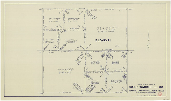
Size: 37.7 x 41.8 inches
68094
Collingsworth County Working Sketch 5
68093.tif
Print $20.00 - Digital $50.00

Collingsworth County Working Sketch 5

1973
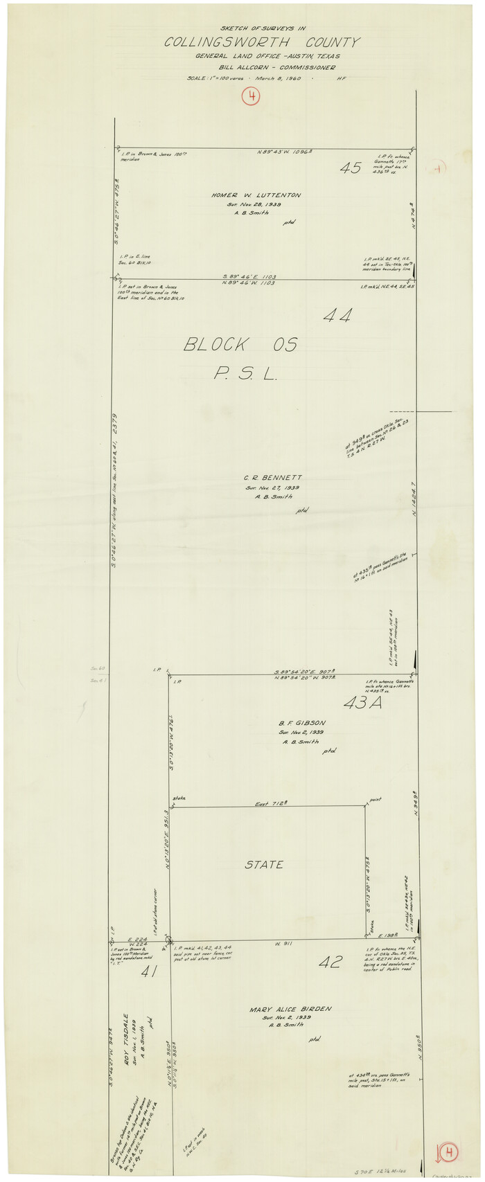
Size: 22.5 x 38.2 inches
68093
Collingsworth County Working Sketch 4
68092.tif
Print $20.00 - Digital $50.00

Collingsworth County Working Sketch 4

1960

Size: 42.6 x 17.3 inches
68092
Collingsworth County Working Sketch 3
68091.tif
Print $20.00 - Digital $50.00

Collingsworth County Working Sketch 3

1957
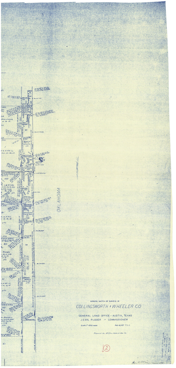
Size: 18.9 x 41.5 inches
68091
Collingsworth County Working Sketch 2
63761.tif
Print $20.00 - Digital $50.00

Collingsworth County Working Sketch 2

1957

Size: 42.5 x 20.1 inches
63761
Collingsworth County Working Sketch 2
63762.tif
Print $20.00 - Digital $50.00

Collingsworth County Working Sketch 2

1957

Size: 10.2 x 32.6 inches
63762
Collingsworth County Working Sketch 2
68090.tif
Print $40.00 - Digital $50.00

Collingsworth County Working Sketch 2

1957
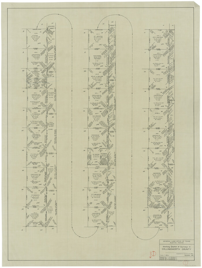
Size: 44.2 x 122.7 inches
68090
Collingsworth County Working Sketch 1
68089.tif
Print $20.00 - Digital $50.00

Collingsworth County Working Sketch 1

1939
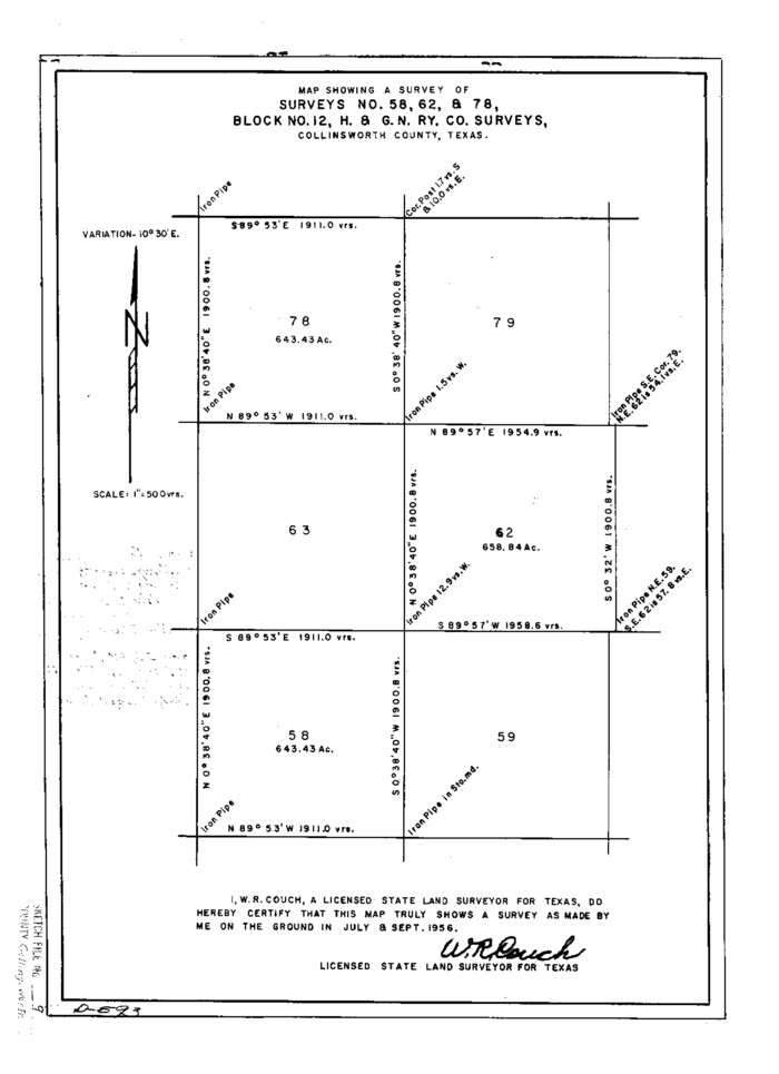
Size: 43.0 x 32.8 inches
68089
Collingsworth County Sketch File 9
11133, Collingsworth County Sketch File 9, General Map Collection
Print $20.00 - Digital $50.00

Collingsworth County Sketch File 9

Size: 16.5 x 12.0 inches
11133
Collingsworth County Sketch File 8
18889, Collingsworth County Sketch File 8, General Map Collection
Print $4.00 - Digital $50.00

Collingsworth County Sketch File 8

Size: 7.4 x 11.6 inches
18889
Collingsworth County Sketch File 7
18884, Collingsworth County Sketch File 7, General Map Collection
Print $10.00 - Digital $50.00

Collingsworth County Sketch File 7

1915

Size: 11.4 x 9.0 inches
18884
Collingsworth County Sketch File 6
18882, Collingsworth County Sketch File 6, General Map Collection
Print $4.00 - Digital $50.00

Collingsworth County Sketch File 6

1896

Size: 11.4 x 9.1 inches
18882
Collingsworth County Sketch File 5
11132, Collingsworth County Sketch File 5, General Map Collection
Print $20.00 - Digital $50.00

Collingsworth County Sketch File 5

1891

Size: 32.0 x 24.3 inches
11132
Collingsworth County Sketch File 4
11131, Collingsworth County Sketch File 4, General Map Collection
Print $20.00 - Digital $50.00

Collingsworth County Sketch File 4

1889

Size: 23.4 x 31.3 inches
11131
[Sketch between Collingsworth County and Oklahoma]
89673, [Sketch between Collingsworth County and Oklahoma], Twichell Survey Records
Print $40.00 - Digital $50.00

[Sketch between Collingsworth County and Oklahoma]

  • Size

    63.2 x 9.1 inches

  • Map/Doc

    89673

[Sketch Between Collingsworth County and Oklahoma]
89663, [Sketch Between Collingsworth County and Oklahoma], Twichell Survey Records
Print $40.00 - Digital $50.00

[Sketch Between Collingsworth County and Oklahoma]

  • Size

    9.4 x 62.5 inches

  • Map/Doc

    89663

[Jack District]
1993, [Jack District], General Map Collection
Print $40.00 - Digital $50.00

[Jack District]

1878

  • Size

    42.1 x 64.5 inches

  • Map/Doc

    1993

  • Creation Date

    1878

Working Sketch in Collingsworth County [showing East line of County along border with Oklahoma]
92086, Working Sketch in Collingsworth County [showing East line of County along border with Oklahoma], Twichell Survey Records
Print $20.00 - Digital $50.00

Working Sketch in Collingsworth County [showing East line of County along border with Oklahoma]

1910

  • Size

    4.5 x 25.9 inches

  • Map/Doc

    92086

  • Creation Date

    1910

Working Sketch in Childress County
90425, Working Sketch in Childress County, Twichell Survey Records
Print $20.00 - Digital $50.00

Working Sketch in Childress County

1910

  • Size

    6.6 x 23.3 inches

  • Map/Doc

    90425

  • Creation Date

    1910

Wheeler County Sketch File 7
10431, Wheeler County Sketch File 7, General Map Collection
Print $20.00 - Digital $50.00

Wheeler County Sketch File 7

  • Size

    38.1 x 47.7 inches

  • Map/Doc

    10431

Texas Panhandle East Boundary Line
1702, Texas Panhandle East Boundary Line, General Map Collection
Print $40.00 - Digital $50.00

Texas Panhandle East Boundary Line

1898

  • Size

    65.3 x 10.0 inches

  • Map/Doc

    1702

  • Creation Date

    1898

Map of Collingsworth County
4738, Map of Collingsworth County, General Map Collection
Print $20.00 - Digital $50.00

Map of Collingsworth County

1899

  • Size

    41.1 x 38.6 inches

  • Map/Doc

    4738

  • Creation Date

    1899

Map of Collingsworth County
4739, Map of Collingsworth County, General Map Collection
Print $20.00 - Digital $50.00

Map of Collingsworth County

1899

  • Size

    42.8 x 38.5 inches

  • Map/Doc

    4739

  • Creation Date

    1899

Lipscomb County Sketch File 4
30233, Lipscomb County Sketch File 4, General Map Collection
Print $56.00 - Digital $50.00

Lipscomb County Sketch File 4

1910

  • Size

    11.2 x 8.7 inches

  • Map/Doc

    30233

  • Creation Date

    1910

Lipscomb County Sketch File 3
10526, Lipscomb County Sketch File 3, General Map Collection
Print $20.00 - Digital $50.00

Lipscomb County Sketch File 3

  • Size

    36.5 x 8.4 inches

  • Map/Doc

    10526

Lipscomb County Rolled Sketch 5
10639, Lipscomb County Rolled Sketch 5, General Map Collection
Print $40.00 - Digital $50.00

Lipscomb County Rolled Sketch 5

  • Size

    9.8 x 62.5 inches

  • Map/Doc

    10639

General Highway Map, Collingsworth County, Texas
79053, General Highway Map, Collingsworth County, Texas, Texas State Library and Archives
Print $20.00

General Highway Map, Collingsworth County, Texas

1940

  • Size

    18.3 x 25.2 inches

  • Map/Doc

    79053

  • Creation Date

    1940

General Highway Map, Collingsworth County, Texas
79415, General Highway Map, Collingsworth County, Texas, Texas State Library and Archives
Print $20.00

General Highway Map, Collingsworth County, Texas

1961

  • Size

    18.1 x 24.6 inches

  • Map/Doc

    79415

  • Creation Date

    1961

Collingsworth County, Texas
465, Collingsworth County, Texas, Maddox Collection
Print $20.00 - Digital $50.00

Collingsworth County, Texas

  • Size

    18.3 x 16.6 inches

  • Map/Doc

    465

Collingsworth County Working Sketch Graphic Index
76499, Collingsworth County Working Sketch Graphic Index, General Map Collection
Print $20.00 - Digital $50.00

Collingsworth County Working Sketch Graphic Index

1971

  • Size

    41.0 x 34.8 inches

  • Map/Doc

    76499

  • Creation Date

    1971

Collingsworth County Working Sketch 6
68094, Collingsworth County Working Sketch 6, General Map Collection
Print $20.00 - Digital $50.00

Collingsworth County Working Sketch 6

1990

  • Size

    37.7 x 41.8 inches

  • Map/Doc

    68094

  • Creation Date

    1990

Collingsworth County Working Sketch 5
68093, Collingsworth County Working Sketch 5, General Map Collection
Print $20.00 - Digital $50.00

Collingsworth County Working Sketch 5

1973

  • Size

    22.5 x 38.2 inches

  • Map/Doc

    68093

  • Creation Date

    1973

Collingsworth County Working Sketch 4
68092, Collingsworth County Working Sketch 4, General Map Collection
Print $20.00 - Digital $50.00

Collingsworth County Working Sketch 4

1960

  • Size

    42.6 x 17.3 inches

  • Map/Doc

    68092

  • Creation Date

    1960

Collingsworth County Working Sketch 3
68091, Collingsworth County Working Sketch 3, General Map Collection
Print $20.00 - Digital $50.00

Collingsworth County Working Sketch 3

1957

  • Size

    18.9 x 41.5 inches

  • Map/Doc

    68091

  • Creation Date

    1957

Collingsworth County Working Sketch 2
63761, Collingsworth County Working Sketch 2, General Map Collection
Print $20.00 - Digital $50.00

Collingsworth County Working Sketch 2

1957

  • Size

    42.5 x 20.1 inches

  • Map/Doc

    63761

  • Creation Date

    1957

Collingsworth County Working Sketch 2
63762, Collingsworth County Working Sketch 2, General Map Collection
Print $20.00 - Digital $50.00

Collingsworth County Working Sketch 2

1957

  • Size

    10.2 x 32.6 inches

  • Map/Doc

    63762

  • Creation Date

    1957

Collingsworth County Working Sketch 2
68090, Collingsworth County Working Sketch 2, General Map Collection
Print $40.00 - Digital $50.00

Collingsworth County Working Sketch 2

1957

  • Size

    44.2 x 122.7 inches

  • Map/Doc

    68090

  • Creation Date

    1957

Collingsworth County Working Sketch 1
68089, Collingsworth County Working Sketch 1, General Map Collection
Print $20.00 - Digital $50.00

Collingsworth County Working Sketch 1

1939

  • Size

    43.0 x 32.8 inches

  • Map/Doc

    68089

  • Creation Date

    1939

Collingsworth County Sketch File 9
11133, Collingsworth County Sketch File 9, General Map Collection
Print $20.00 - Digital $50.00

Collingsworth County Sketch File 9

  • Size

    16.5 x 12.0 inches

  • Map/Doc

    11133

Collingsworth County Sketch File 8
18889, Collingsworth County Sketch File 8, General Map Collection
Print $4.00 - Digital $50.00

Collingsworth County Sketch File 8

  • Size

    7.4 x 11.6 inches

  • Map/Doc

    18889

Collingsworth County Sketch File 7
18884, Collingsworth County Sketch File 7, General Map Collection
Print $10.00 - Digital $50.00

Collingsworth County Sketch File 7

1915

  • Size

    11.4 x 9.0 inches

  • Map/Doc

    18884

  • Creation Date

    1915

Collingsworth County Sketch File 6
18882, Collingsworth County Sketch File 6, General Map Collection
Print $4.00 - Digital $50.00

Collingsworth County Sketch File 6

1896

  • Size

    11.4 x 9.1 inches

  • Map/Doc

    18882

  • Creation Date

    1896

Collingsworth County Sketch File 5
11132, Collingsworth County Sketch File 5, General Map Collection
Print $20.00 - Digital $50.00

Collingsworth County Sketch File 5

1891

  • Size

    32.0 x 24.3 inches

  • Map/Doc

    11132

  • Creation Date

    1891

Collingsworth County Sketch File 4
11131, Collingsworth County Sketch File 4, General Map Collection
Print $20.00 - Digital $50.00

Collingsworth County Sketch File 4

1889

  • Size

    23.4 x 31.3 inches

  • Map/Doc

    11131

  • Creation Date

    1889