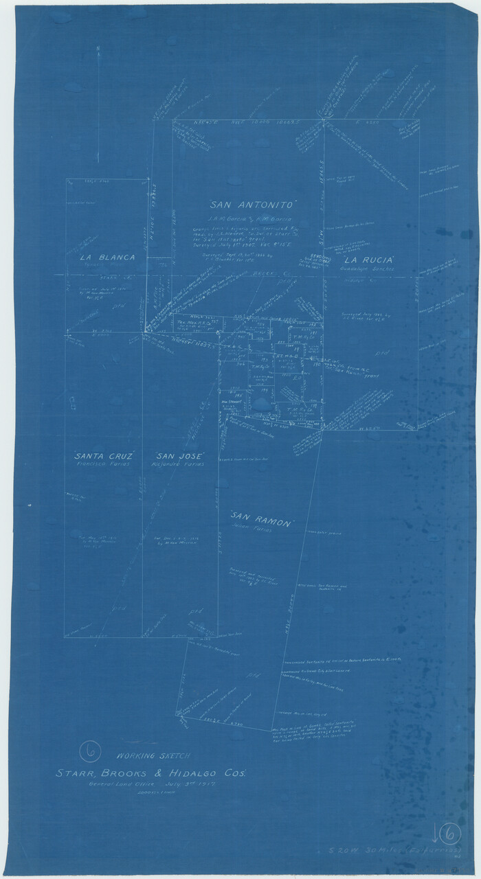
Brooks County Working Sketch 6
1917
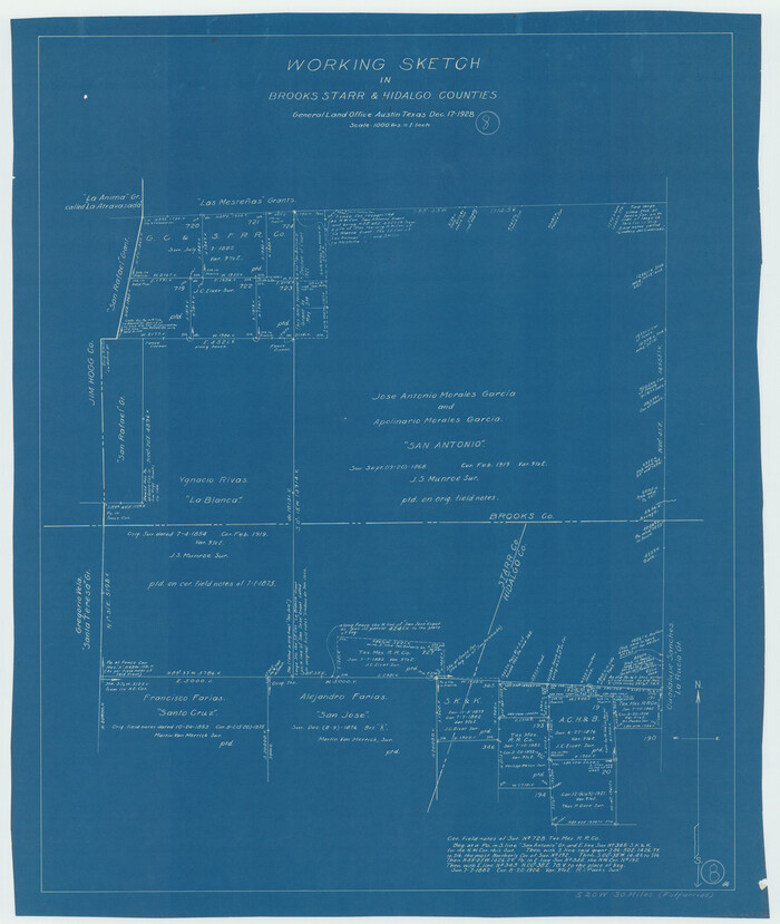
Brooks County Working Sketch 8
1928
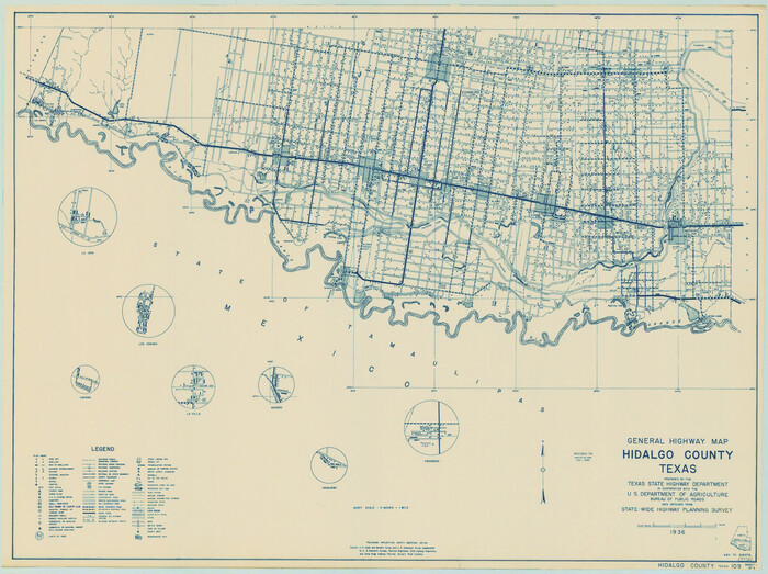
General Highway Map, Hidalgo County, Texas
1940
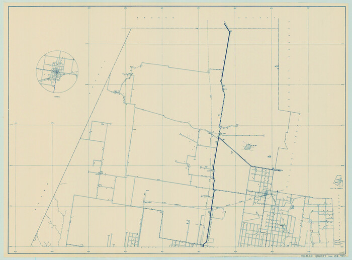
General Highway Map, Hidalgo County, Texas
1940
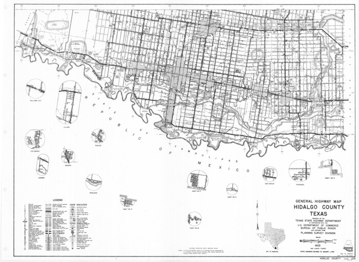
General Highway Map, Hidalgo County, Texas
1961

General Highway Map, Hidalgo County, Texas
1961

Hidalgo County Rolled Sketch 12
1908

Hidalgo County Rolled Sketch 13
1960

Hidalgo County Rolled Sketch 14
1963
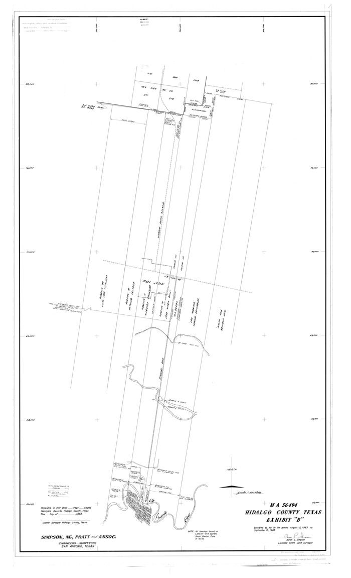
Hidalgo County Rolled Sketch 15
1963
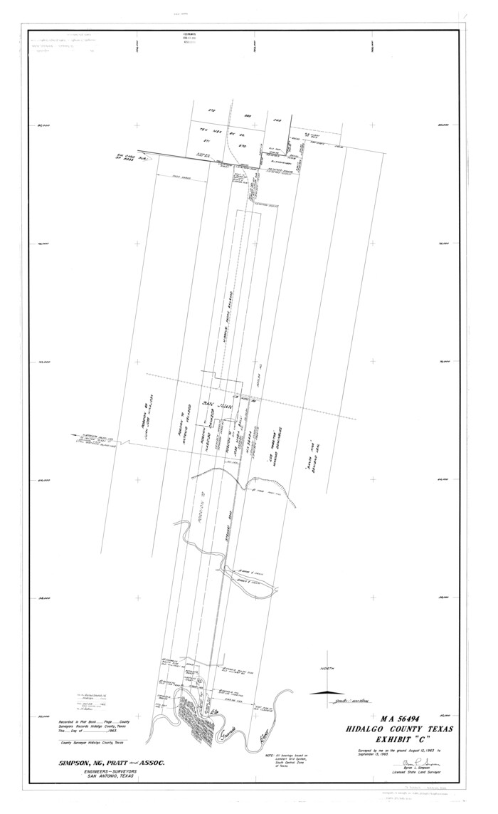
Hidalgo County Rolled Sketch 16
1963

Hidalgo County Rolled Sketch 17
1963
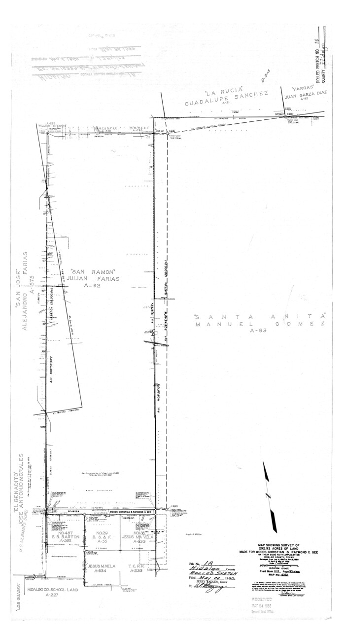
Hidalgo County Rolled Sketch 18
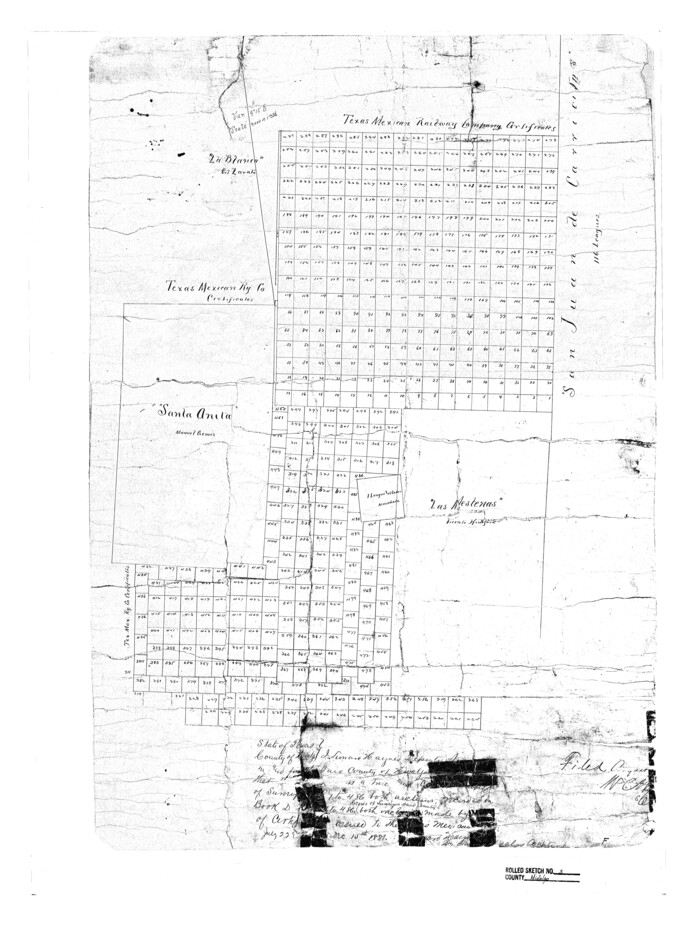
Hidalgo County Rolled Sketch 3
1881

Hidalgo County Rolled Sketch 7
1905
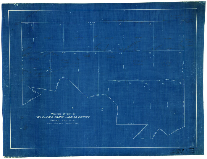
Hidalgo County Rolled Sketch 8
1905

Hidalgo County Rolled Sketch 9
1906

Hidalgo County Sketch
1903
Hidalgo County Sketch File 1
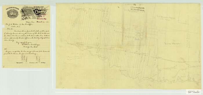
Hidalgo County Sketch File 10
1911
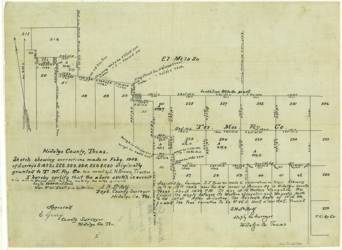
Hidalgo County Sketch File 11
1908

Hidalgo County Sketch File 12

Hidalgo County Sketch File 14
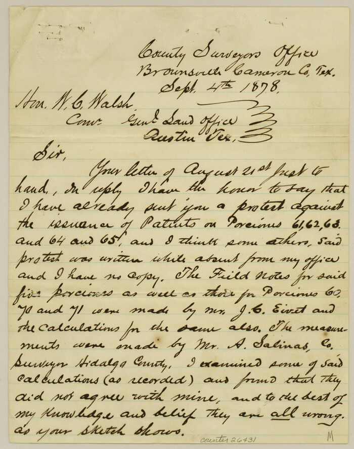
Hidalgo County Sketch File 15
1878

Brooks County Working Sketch 6
1917
-
Size
28.6 x 15.7 inches
-
Map/Doc
67790
-
Creation Date
1917

Brooks County Working Sketch 8
1928
-
Size
27.6 x 23.3 inches
-
Map/Doc
67792
-
Creation Date
1928

General Highway Map, Hidalgo County, Texas
1940
-
Size
18.4 x 24.7 inches
-
Map/Doc
79127
-
Creation Date
1940

General Highway Map, Hidalgo County, Texas
1940
-
Size
18.4 x 25.0 inches
-
Map/Doc
79128
-
Creation Date
1940

General Highway Map, Hidalgo County, Texas
1961
-
Size
18.1 x 24.9 inches
-
Map/Doc
79518
-
Creation Date
1961

General Highway Map, Hidalgo County, Texas
1961
-
Size
18.2 x 24.8 inches
-
Map/Doc
79519
-
Creation Date
1961

Hidalgo Co.
1977
-
Size
46.5 x 35.8 inches
-
Map/Doc
73179
-
Creation Date
1977
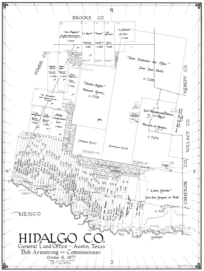
Hidalgo Co.
1977
-
Size
41.4 x 31.3 inches
-
Map/Doc
77311
-
Creation Date
1977
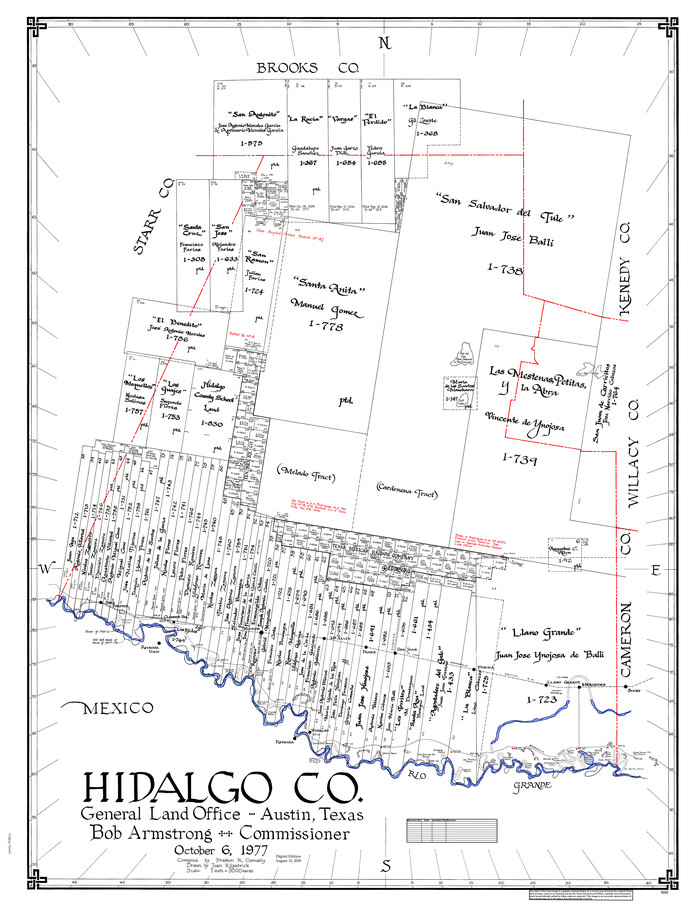
Hidalgo Co.
1977
-
Size
47.9 x 37.0 inches
-
Map/Doc
95529
-
Creation Date
1977
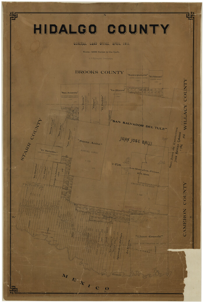
Hidalgo County
1911
-
Size
42.1 x 28.7 inches
-
Map/Doc
16850
-
Creation Date
1911
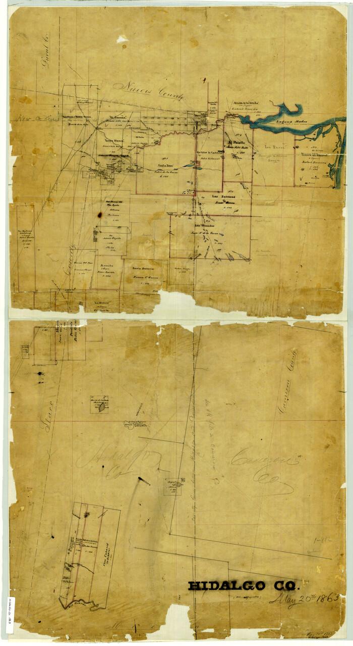
Hidalgo County
1863
-
Size
46.0 x 25.2 inches
-
Map/Doc
3668
-
Creation Date
1863

Hidalgo County
1911
-
Size
42.1 x 29.6 inches
-
Map/Doc
66863
-
Creation Date
1911

Hidalgo County Rolled Sketch 12
1908
-
Size
21.3 x 27.9 inches
-
Map/Doc
6211
-
Creation Date
1908

Hidalgo County Rolled Sketch 13
1960
-
Size
19.0 x 31.4 inches
-
Map/Doc
6212
-
Creation Date
1960

Hidalgo County Rolled Sketch 14
1963
-
Size
68.5 x 40.7 inches
-
Map/Doc
9169
-
Creation Date
1963

Hidalgo County Rolled Sketch 15
1963
-
Size
68.9 x 41.9 inches
-
Map/Doc
9170
-
Creation Date
1963

Hidalgo County Rolled Sketch 16
1963
-
Size
68.9 x 42.2 inches
-
Map/Doc
9171
-
Creation Date
1963

Hidalgo County Rolled Sketch 17
1963
-
Size
68.4 x 42.9 inches
-
Map/Doc
9172
-
Creation Date
1963

Hidalgo County Rolled Sketch 18
-
Size
34.0 x 18.3 inches
-
Map/Doc
6213

Hidalgo County Rolled Sketch 3
1881
-
Size
27.0 x 20.3 inches
-
Map/Doc
6206
-
Creation Date
1881

Hidalgo County Rolled Sketch 7
1905
-
Size
20.4 x 26.1 inches
-
Map/Doc
6208
-
Creation Date
1905

Hidalgo County Rolled Sketch 8
1905
-
Size
20.1 x 26.3 inches
-
Map/Doc
6209
-
Creation Date
1905

Hidalgo County Rolled Sketch 9
1906
-
Size
18.9 x 24.8 inches
-
Map/Doc
6210
-
Creation Date
1906

Hidalgo County Sketch
1903
-
Size
30.4 x 37.7 inches
-
Map/Doc
4450
-
Creation Date
1903

Hidalgo County Sketch File 1
-
Size
20.2 x 12.0 inches
-
Map/Doc
26392

Hidalgo County Sketch File 10
1911
-
Size
16.3 x 34.8 inches
-
Map/Doc
11762
-
Creation Date
1911

Hidalgo County Sketch File 11
1908
-
Size
18.5 x 13.6 inches
-
Map/Doc
26429
-
Creation Date
1908

Hidalgo County Sketch File 12
-
Size
16.3 x 25.1 inches
-
Map/Doc
11763

Hidalgo County Sketch File 14
-
Size
29.6 x 24.5 inches
-
Map/Doc
11764

Hidalgo County Sketch File 15
1878
-
Size
10.1 x 7.9 inches
-
Map/Doc
26431
-
Creation Date
1878