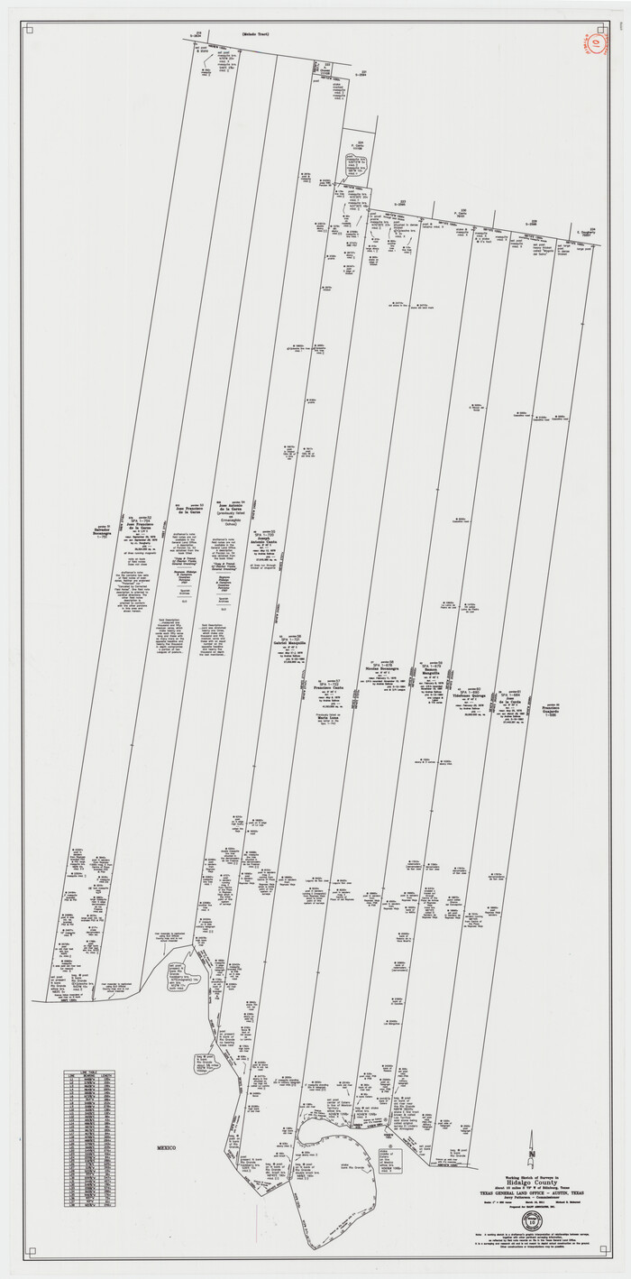
Hidalgo County Working Sketch 10
2011

Land grants from the state of Tamaulipas in the trans-Nueces
2009

Kenedy County Sketch File 3
2003

Starr County Rolled Sketch 46A
1986
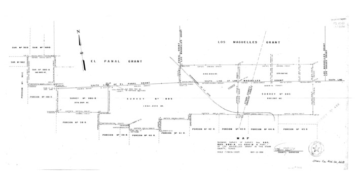
Starr County Rolled Sketch 46B
1986
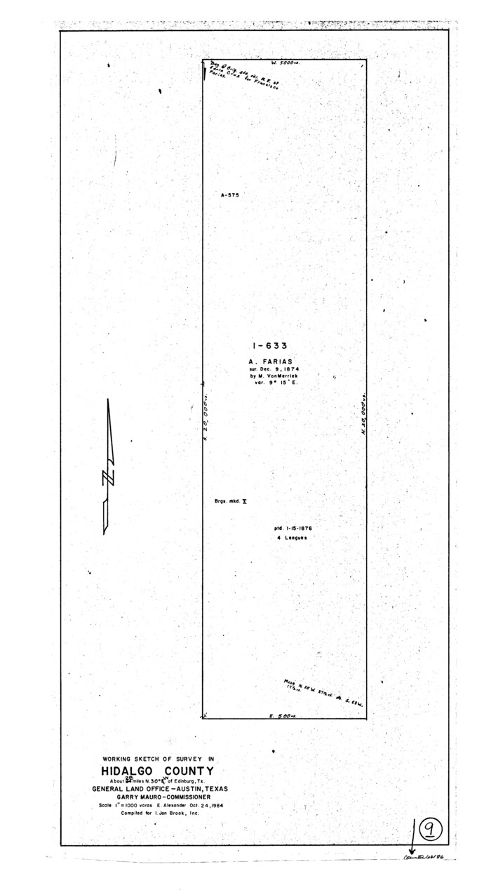
Hidalgo County Working Sketch 9
1984

Hidalgo County Sketch File 19
1983

Hidalgo County Working Sketch Graphic Index
1977

Hidalgo County Rolled Sketch 14
1963
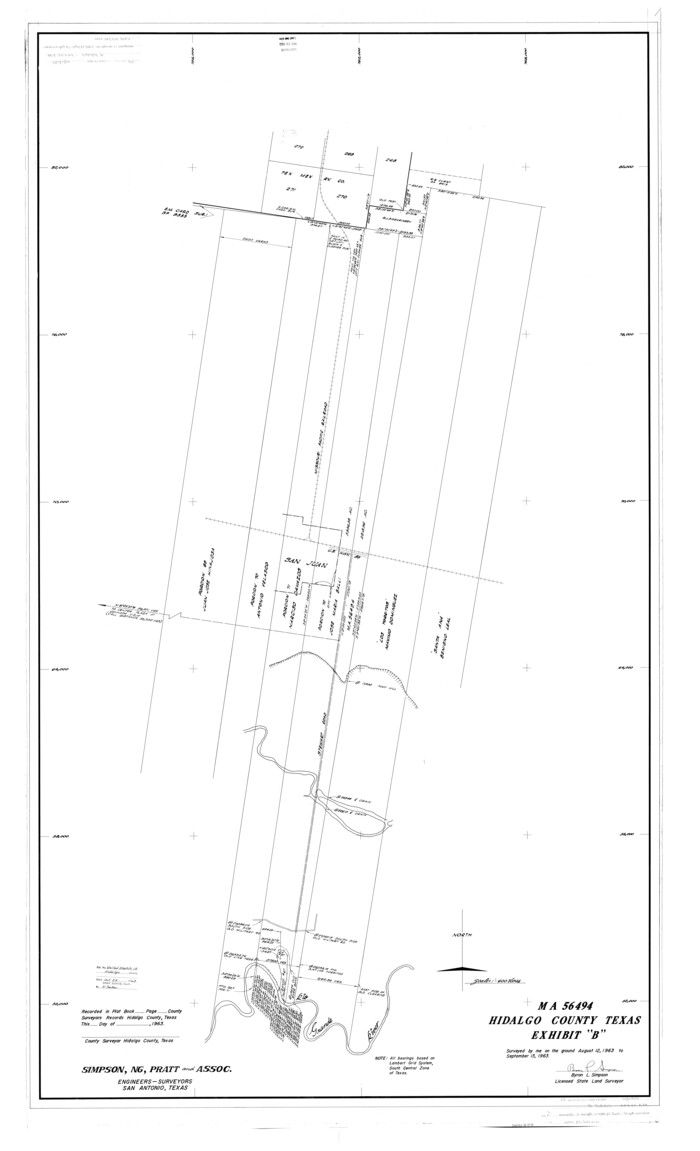
Hidalgo County Rolled Sketch 15
1963
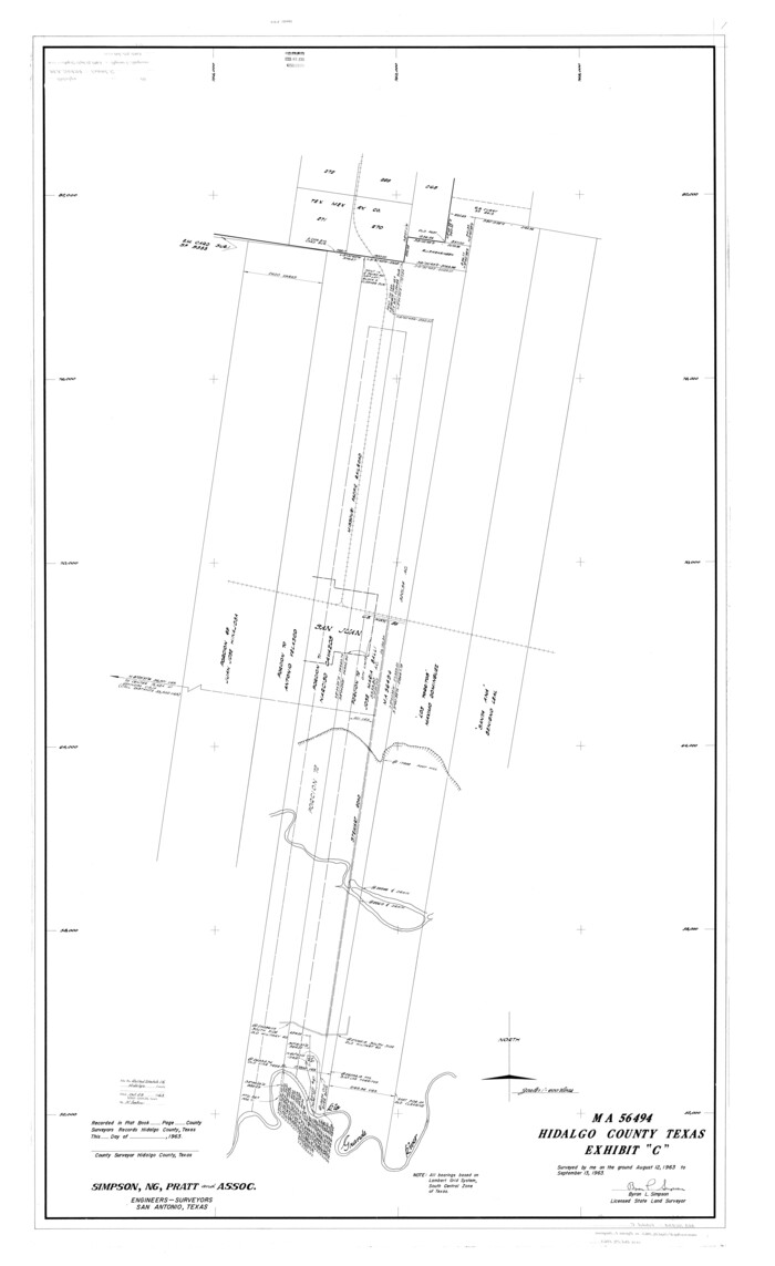
Hidalgo County Rolled Sketch 16
1963

Hidalgo County Rolled Sketch 17
1963
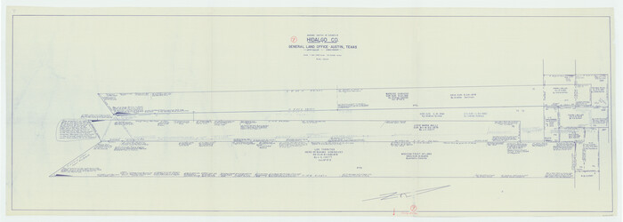
Hidalgo County Working Sketch 7
1963

Hidalgo County Working Sketch 8
1963
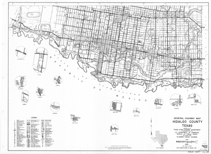
General Highway Map, Hidalgo County, Texas
1961

General Highway Map, Hidalgo County, Texas
1961

Hidalgo County Rolled Sketch 13
1960

Hidalgo County Working Sketch 6
1960

Hidalgo County Working Sketch 5
1956
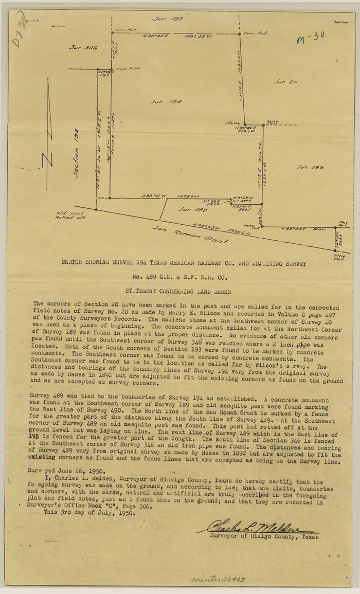
Hidalgo County Sketch File 17
1950
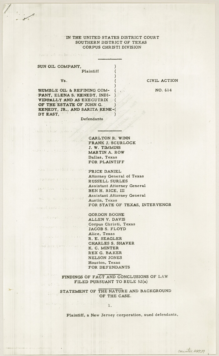
Kenedy County Sketch File 1
1950
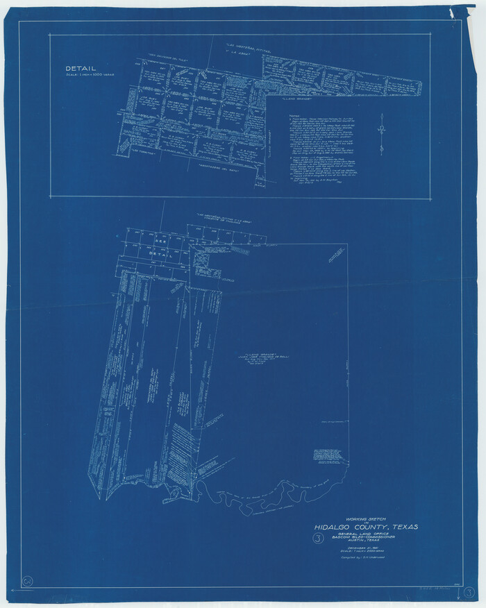
Hidalgo County Working Sketch 3
1941
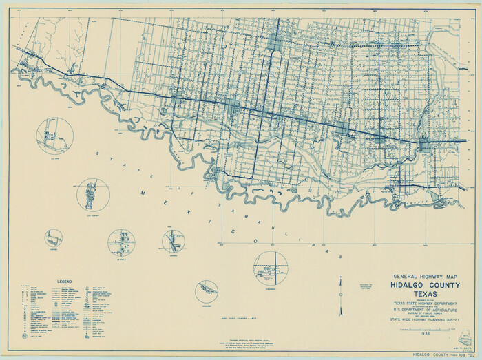
General Highway Map, Hidalgo County, Texas
1940
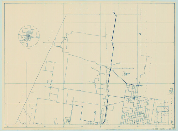
General Highway Map, Hidalgo County, Texas
1940

Hidalgo County Working Sketch 1
1939

Hidalgo County Working Sketch 4
1938

Rio Grande, Lower Rio Grande Valley/Bulletin 29-A
1937

Hidalgo County Working Sketch 10
2011
-
Size
59.9 x 29.5 inches
-
Map/Doc
89998
-
Creation Date
2011

Land grants from the state of Tamaulipas in the trans-Nueces
2009
-
Size
11.0 x 8.5 inches
-
Map/Doc
94040
-
Creation Date
2009

Kenedy County Sketch File 3
2003
-
Size
11.0 x 8.5 inches
-
Map/Doc
82452
-
Creation Date
2003

Starr County Rolled Sketch 46A
1986
-
Size
17.9 x 34.4 inches
-
Map/Doc
7837
-
Creation Date
1986

Starr County Rolled Sketch 46B
1986
-
Size
17.9 x 34.5 inches
-
Map/Doc
7838
-
Creation Date
1986

Hidalgo County Working Sketch 9
1984
-
Size
27.2 x 15.0 inches
-
Map/Doc
66186
-
Creation Date
1984

Hidalgo County Sketch File 19
1983
-
Size
11.3 x 8.9 inches
-
Map/Doc
26448
-
Creation Date
1983
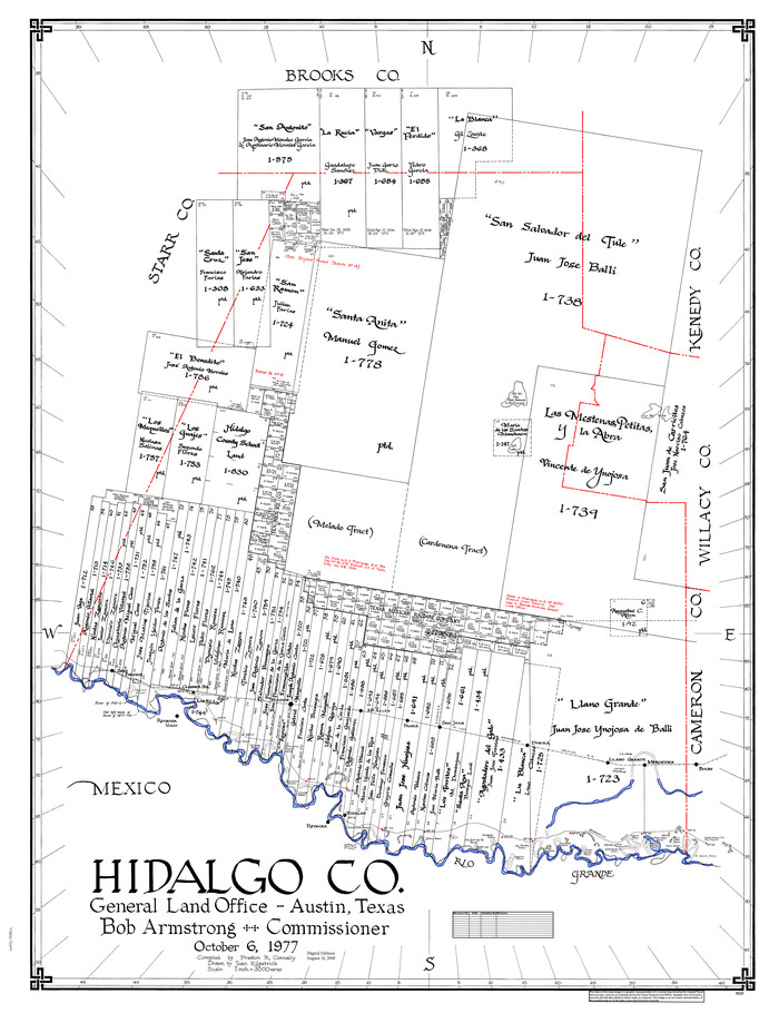
Hidalgo Co.
1977
-
Size
47.9 x 37.0 inches
-
Map/Doc
95529
-
Creation Date
1977

Hidalgo Co.
1977
-
Size
46.5 x 35.8 inches
-
Map/Doc
73179
-
Creation Date
1977

Hidalgo County Working Sketch Graphic Index
1977
-
Size
45.7 x 34.7 inches
-
Map/Doc
76577
-
Creation Date
1977
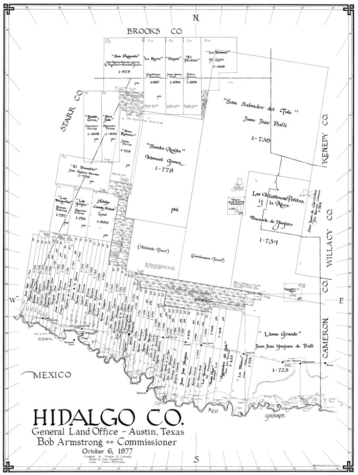
Hidalgo Co.
1977
-
Size
41.4 x 31.3 inches
-
Map/Doc
77311
-
Creation Date
1977

Hidalgo County Rolled Sketch 14
1963
-
Size
68.5 x 40.7 inches
-
Map/Doc
9169
-
Creation Date
1963

Hidalgo County Rolled Sketch 15
1963
-
Size
68.9 x 41.9 inches
-
Map/Doc
9170
-
Creation Date
1963

Hidalgo County Rolled Sketch 16
1963
-
Size
68.9 x 42.2 inches
-
Map/Doc
9171
-
Creation Date
1963

Hidalgo County Rolled Sketch 17
1963
-
Size
68.4 x 42.9 inches
-
Map/Doc
9172
-
Creation Date
1963

Hidalgo County Working Sketch 7
1963
-
Size
26.4 x 73.9 inches
-
Map/Doc
66184
-
Creation Date
1963

Hidalgo County Working Sketch 8
1963
-
Size
25.7 x 72.8 inches
-
Map/Doc
66185
-
Creation Date
1963

General Highway Map, Hidalgo County, Texas
1961
-
Size
18.1 x 24.9 inches
-
Map/Doc
79518
-
Creation Date
1961

General Highway Map, Hidalgo County, Texas
1961
-
Size
18.2 x 24.8 inches
-
Map/Doc
79519
-
Creation Date
1961

Hidalgo County Rolled Sketch 13
1960
-
Size
19.0 x 31.4 inches
-
Map/Doc
6212
-
Creation Date
1960

Hidalgo County Working Sketch 6
1960
-
Size
21.4 x 20.4 inches
-
Map/Doc
66183
-
Creation Date
1960

Hidalgo County Working Sketch 5
1956
-
Size
38.1 x 37.9 inches
-
Map/Doc
66182
-
Creation Date
1956

Hidalgo County Sketch File 17
1950
-
Size
14.5 x 8.8 inches
-
Map/Doc
26443
-
Creation Date
1950

Kenedy County Sketch File 1
1950
-
Size
14.2 x 8.8 inches
-
Map/Doc
28739
-
Creation Date
1950

Hidalgo County Working Sketch 3
1941
-
Size
41.1 x 32.8 inches
-
Map/Doc
66180
-
Creation Date
1941

General Highway Map, Hidalgo County, Texas
1940
-
Size
18.4 x 24.7 inches
-
Map/Doc
79127
-
Creation Date
1940

General Highway Map, Hidalgo County, Texas
1940
-
Size
18.4 x 25.0 inches
-
Map/Doc
79128
-
Creation Date
1940

Hidalgo County Working Sketch 1
1939
-
Size
24.8 x 21.4 inches
-
Map/Doc
66178
-
Creation Date
1939

Hidalgo County Working Sketch 4
1938
-
Size
43.1 x 39.6 inches
-
Map/Doc
66181
-
Creation Date
1938

Rio Grande, Lower Rio Grande Valley/Bulletin 29-A
1937
-
Size
12.1 x 24.0 inches
-
Map/Doc
65103
-
Creation Date
1937