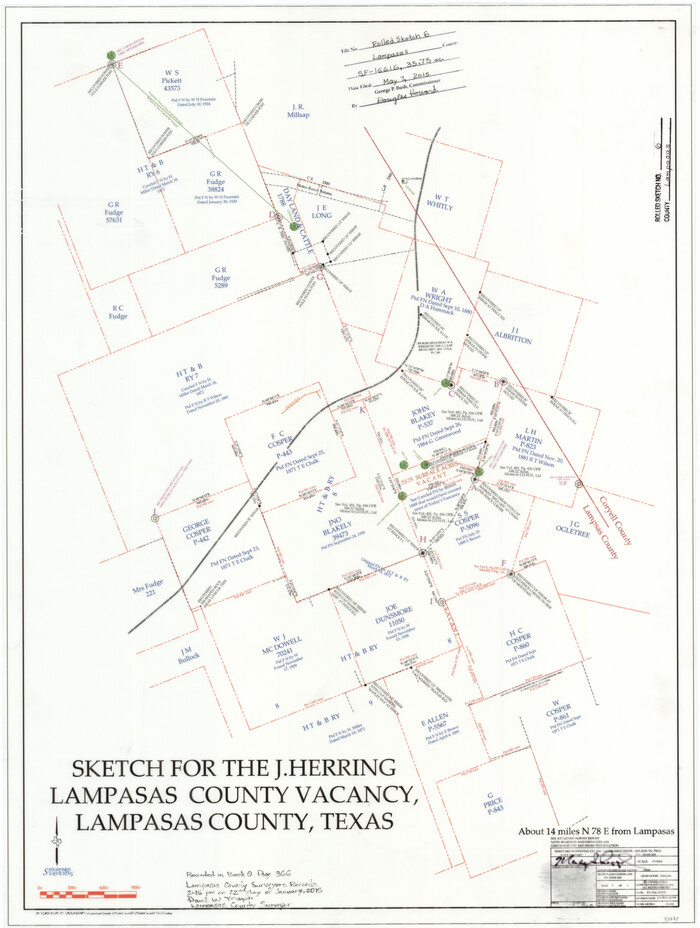
Lampasas County Rolled Sketch 6
2014

Lampasas County Sketch File 22
2007

Mills County Working Sketch 28
2006

Lampasas County Rolled Sketch 4
2001
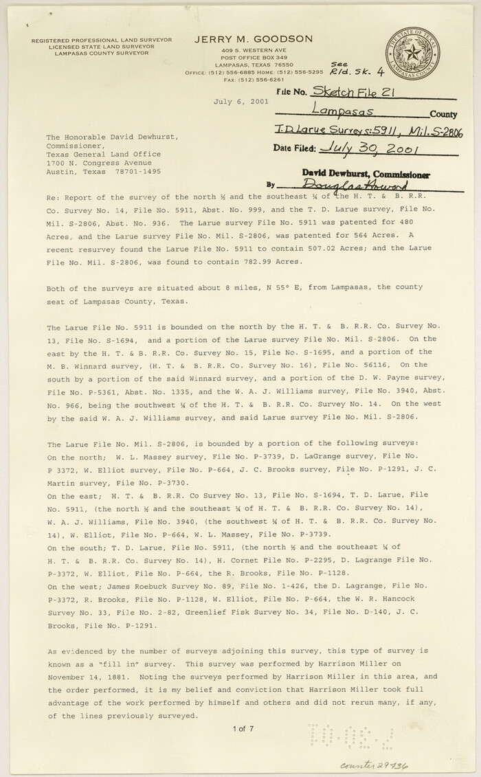
Lampasas County Sketch File 21
2001
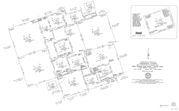
Lampasas County Working Sketch 23
2000
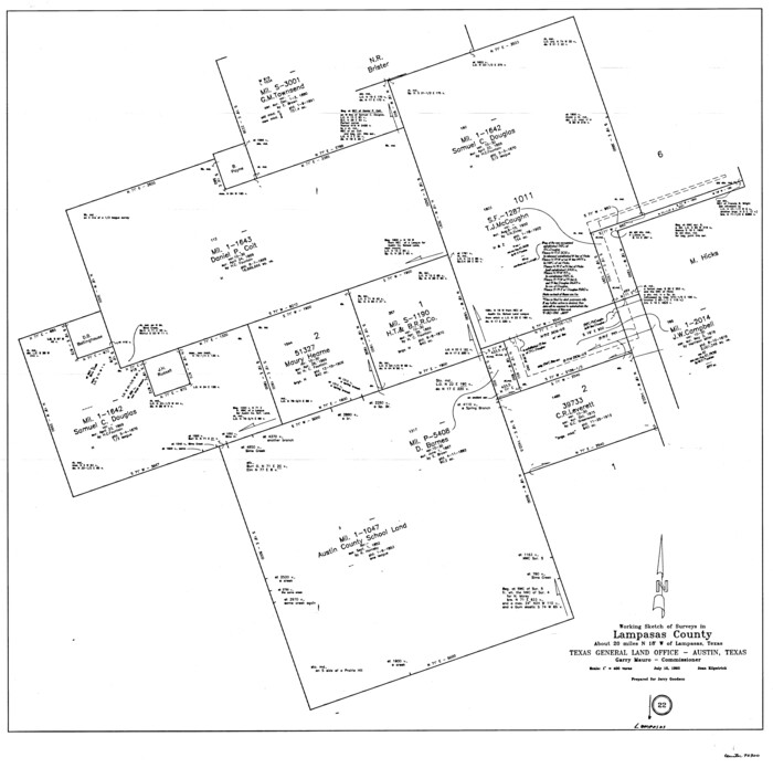
Lampasas County Working Sketch 22
1993
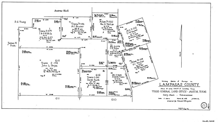
Lampasas County Working Sketch 21
1988
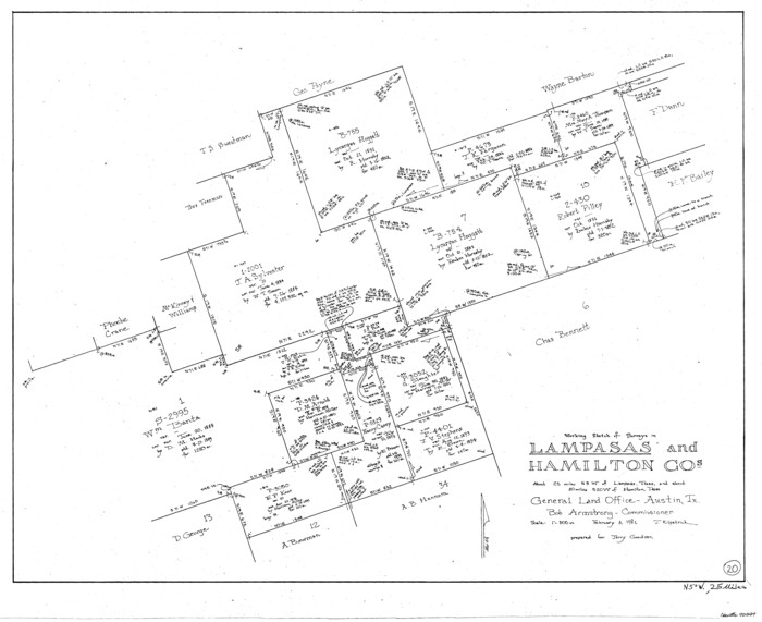
Lampasas County Working Sketch 20
1981
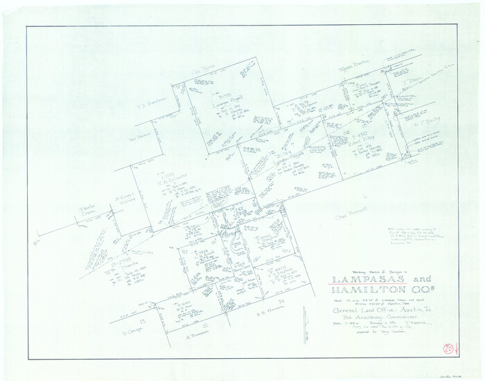
Lampasas County Working Sketch 20, revised
1981
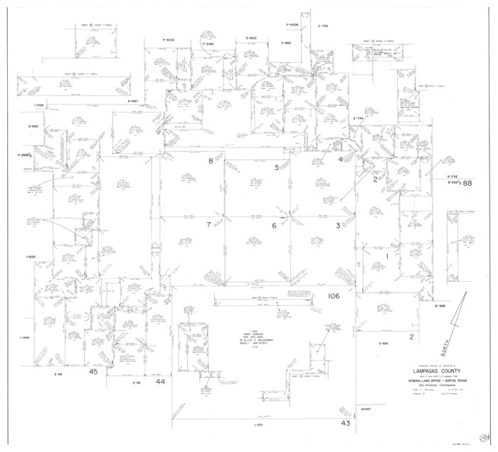
Lampasas County Working Sketch 19
1979
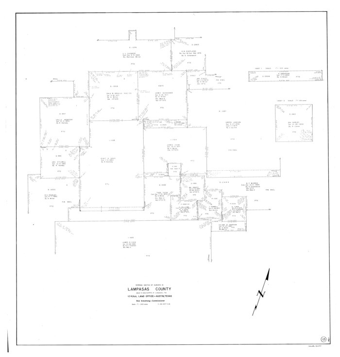
Lampasas County Working Sketch 18
1977

Lampasas County Working Sketch 17
1977

Coryell County Working Sketch 23
1977
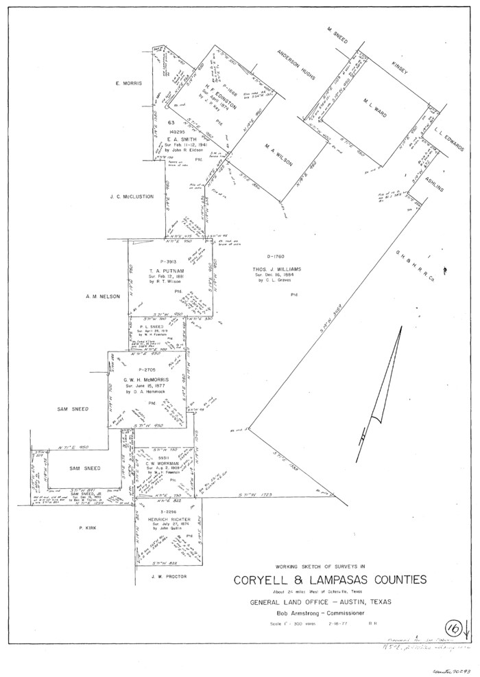
Lampasas County Working Sketch 16
1977

Coryell County Working Sketch 22
1976

Lampasas County Rolled Sketch 1
1975
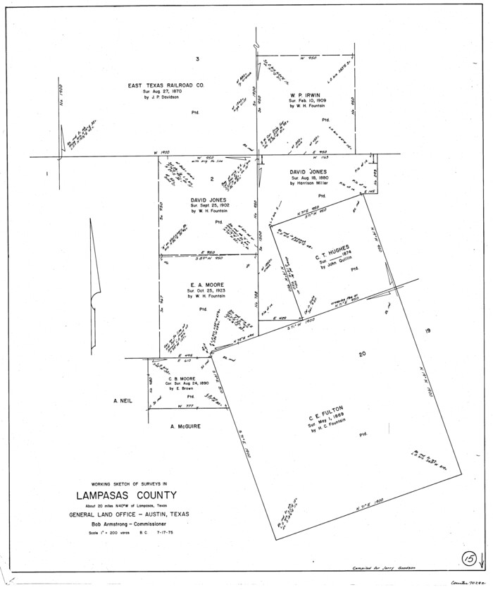
Lampasas County Working Sketch 15
1975

Lampasas County Working Sketch 14
1974

Lampasas County Working Sketch 13
1973

Lampasas County Working Sketch Graphic Index
1972

Lampasas County Working Sketch 12
1969

Lampasas County Working Sketch 11
1964
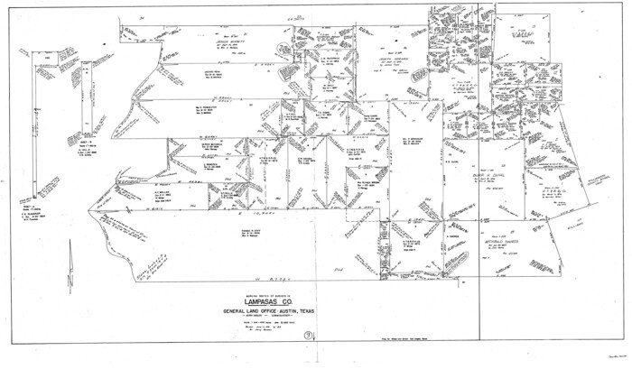
Lampasas County Working Sketch 9
1963

Lampasas County Working Sketch 10
1963

General Highway Map, Lampasas County, Texas
1961

Texas Hill Country Trail Region
2017
-
Size
18.2 x 24.3 inches
-
Map/Doc
96871
-
Creation Date
2017

Lampasas County Rolled Sketch 6
2014
-
Size
29.1 x 21.9 inches
-
Map/Doc
93775
-
Creation Date
2014

Lampasas County Sketch File 22
2007
-
Size
14.0 x 8.5 inches
-
Map/Doc
93653
-
Creation Date
2007

Mills County Working Sketch 28
2006
-
Size
42.0 x 67.4 inches
-
Map/Doc
85385
-
Creation Date
2006

Lampasas County Rolled Sketch 4
2001
-
Size
27.1 x 38.5 inches
-
Map/Doc
6566
-
Creation Date
2001

Lampasas County Sketch File 21
2001
-
Size
14.2 x 8.8 inches
-
Map/Doc
29436
-
Creation Date
2001

Lampasas County Working Sketch 23
2000
-
Size
22.9 x 36.8 inches
-
Map/Doc
70301
-
Creation Date
2000

Lampasas County Working Sketch 22
1993
-
Size
34.5 x 34.7 inches
-
Map/Doc
70300
-
Creation Date
1993

Lampasas County Working Sketch 21
1988
-
Size
15.2 x 26.7 inches
-
Map/Doc
70299
-
Creation Date
1988

Lampasas County Working Sketch 20
1981
-
Size
26.0 x 31.9 inches
-
Map/Doc
70297
-
Creation Date
1981

Lampasas County Working Sketch 20, revised
1981
-
Size
27.1 x 34.5 inches
-
Map/Doc
70298
-
Creation Date
1981

Lampasas County Working Sketch 19
1979
-
Size
43.8 x 48.3 inches
-
Map/Doc
70296
-
Creation Date
1979

Lampasas County Working Sketch 18
1977
-
Size
46.1 x 44.0 inches
-
Map/Doc
70295
-
Creation Date
1977

Lampasas County Working Sketch 17
1977
-
Size
24.0 x 13.2 inches
-
Map/Doc
70294
-
Creation Date
1977

Coryell County Working Sketch 23
1977
-
Size
27.6 x 30.6 inches
-
Map/Doc
68230
-
Creation Date
1977

Lampasas County Working Sketch 16
1977
-
Size
27.6 x 19.6 inches
-
Map/Doc
70293
-
Creation Date
1977

Coryell County Working Sketch 22
1976
-
Size
24.9 x 35.3 inches
-
Map/Doc
68229
-
Creation Date
1976

Lampasas County Rolled Sketch 1
1975
-
Size
22.0 x 28.2 inches
-
Map/Doc
6564
-
Creation Date
1975

Lampasas County Working Sketch 15
1975
-
Size
28.5 x 23.8 inches
-
Map/Doc
70292
-
Creation Date
1975

Lampasas County Working Sketch 14
1974
-
Size
23.4 x 21.8 inches
-
Map/Doc
70291
-
Creation Date
1974

Lampasas County Working Sketch 13
1973
-
Size
34.4 x 27.7 inches
-
Map/Doc
70290
-
Creation Date
1973
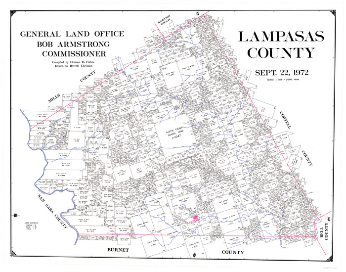
Lampasas County
1972
-
Size
34.4 x 43.4 inches
-
Map/Doc
73214
-
Creation Date
1972

Lampasas County
1972
-
Size
33.2 x 41.9 inches
-
Map/Doc
77347
-
Creation Date
1972
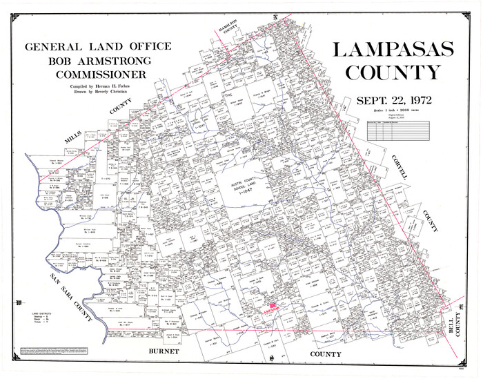
Lampasas County
1972
-
Size
35.6 x 44.6 inches
-
Map/Doc
95565
-
Creation Date
1972

Lampasas County Working Sketch Graphic Index
1972
-
Size
34.6 x 42.0 inches
-
Map/Doc
76614
-
Creation Date
1972

Lampasas County Working Sketch 12
1969
-
Size
32.9 x 31.4 inches
-
Map/Doc
70289
-
Creation Date
1969

Lampasas County Working Sketch 11
1964
-
Size
38.3 x 42.8 inches
-
Map/Doc
70288
-
Creation Date
1964

Lampasas County Working Sketch 9
1963
-
Size
32.9 x 56.3 inches
-
Map/Doc
70286
-
Creation Date
1963

Lampasas County Working Sketch 10
1963
-
Size
32.2 x 42.9 inches
-
Map/Doc
70287
-
Creation Date
1963

General Highway Map, Lampasas County, Texas
1961
-
Size
18.2 x 24.7 inches
-
Map/Doc
79563
-
Creation Date
1961