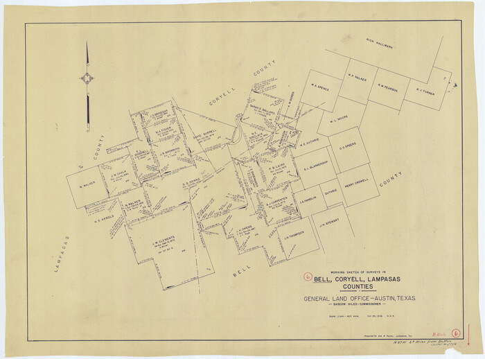
Bell County Working Sketch 6
1946
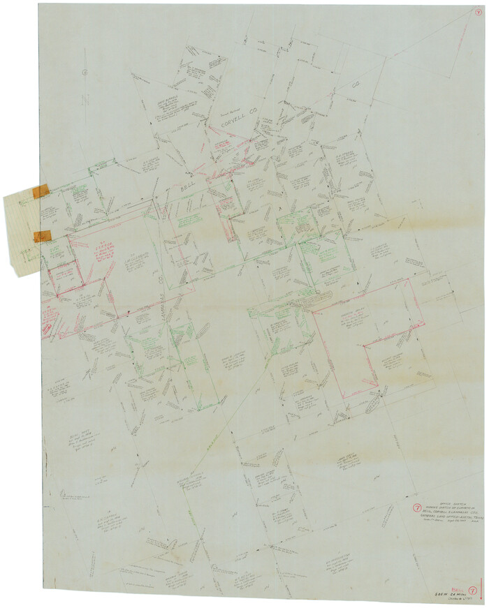
Bell County Working Sketch 7
1947
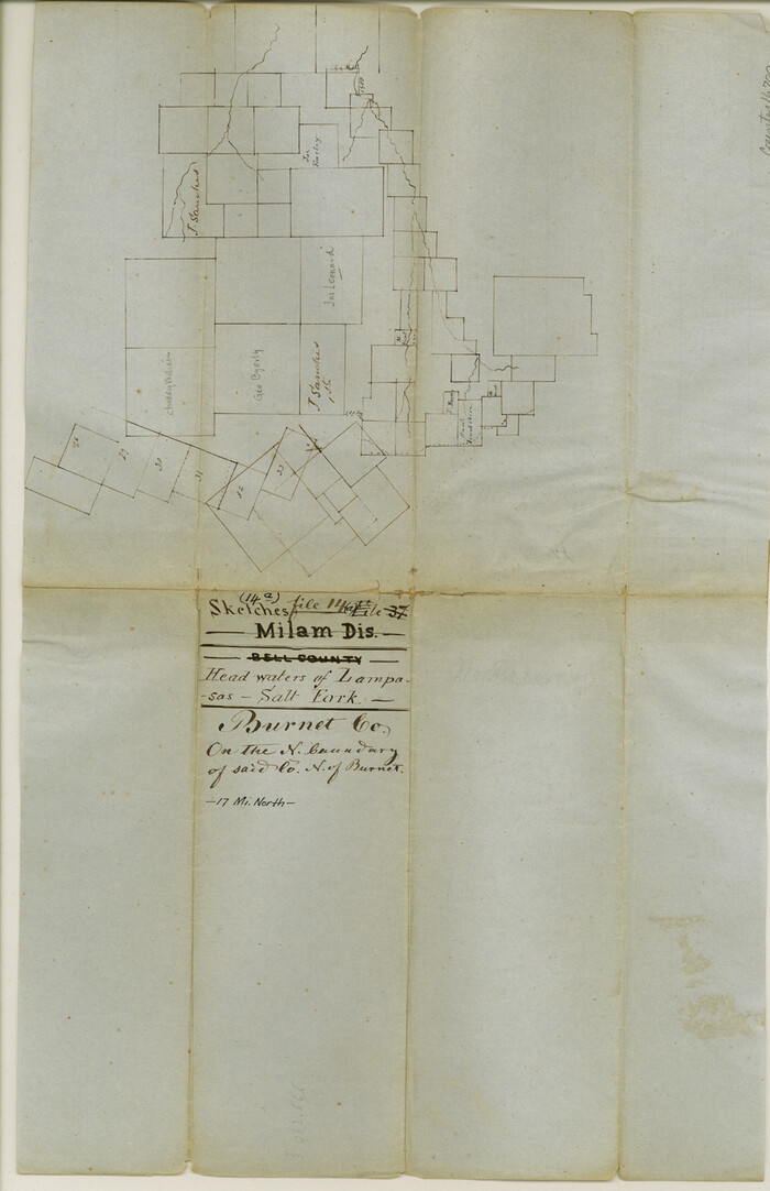
Burnet County Sketch File 14a
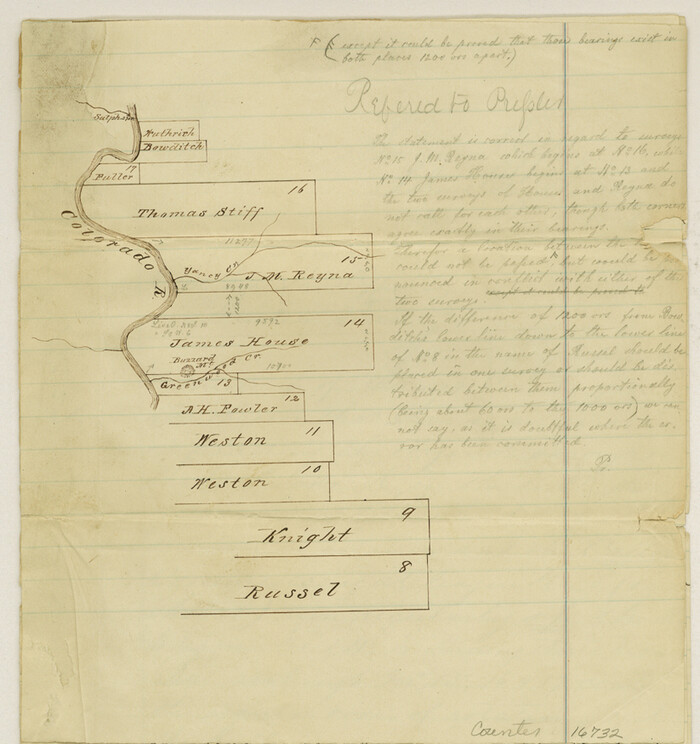
Burnet County Sketch File 27a
1876
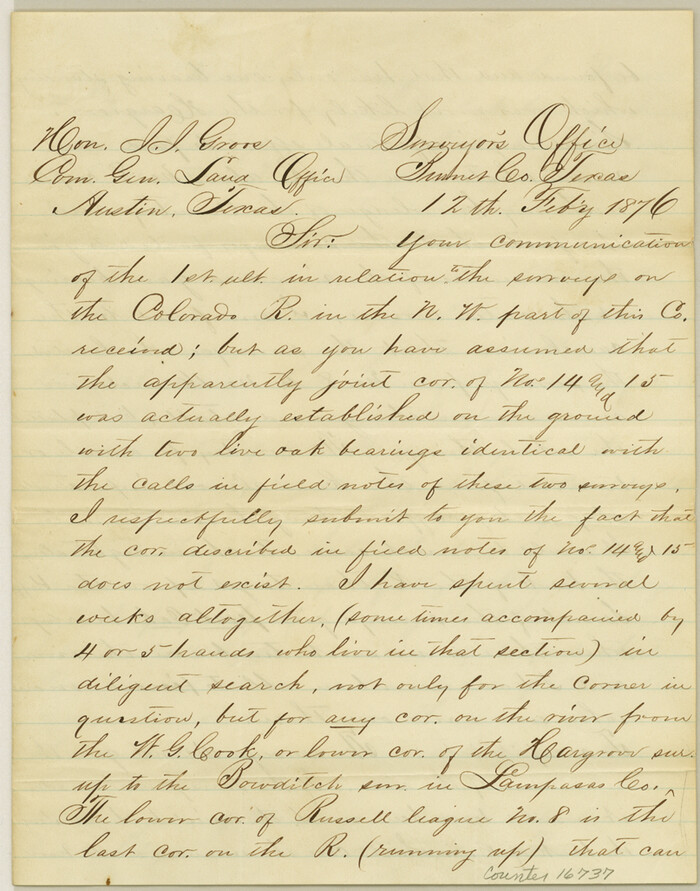
Burnet County Sketch File 27b
1876
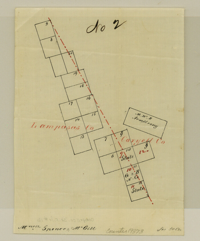
Coryell County Sketch File 16

Coryell County Working Sketch 11
1949

Coryell County Working Sketch 22
1976

Coryell County Working Sketch 23
1977
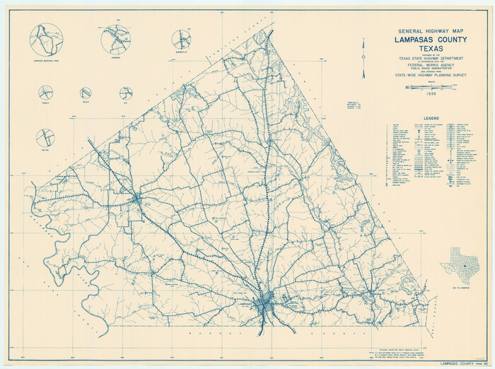
General Highway Map, Lampasas County, Texas
1940

General Highway Map, Lampasas County, Texas
1961

Hamilton County Sketch File 10 1/2
1876
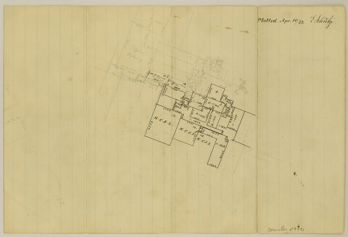
Hamilton County Sketch File 15
1882

Hamilton County Sketch File 16
1898
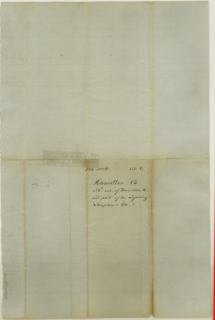
Hamilton County Sketch File 6
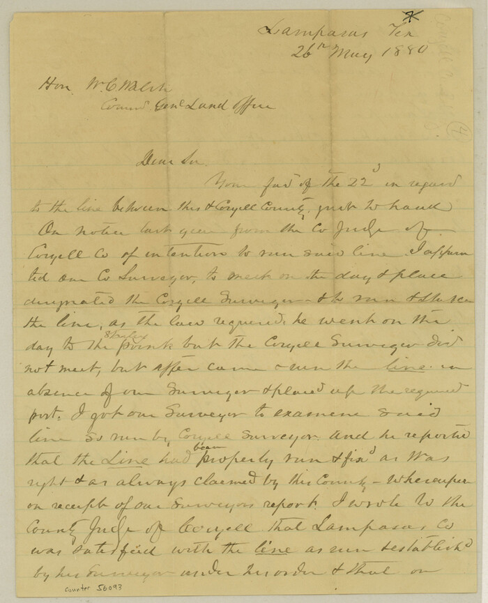
Lampasas County Boundary File 1
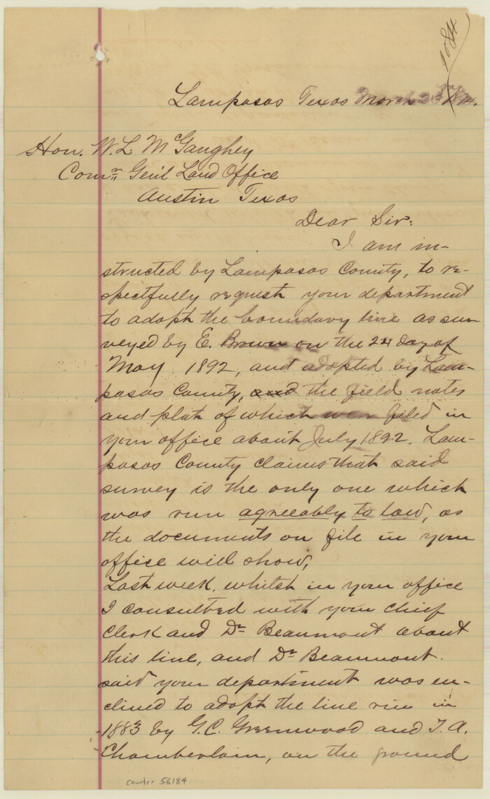
Lampasas County Boundary File 10

Lampasas County Boundary File 11
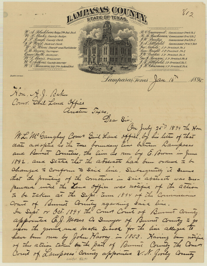
Lampasas County Boundary File 12
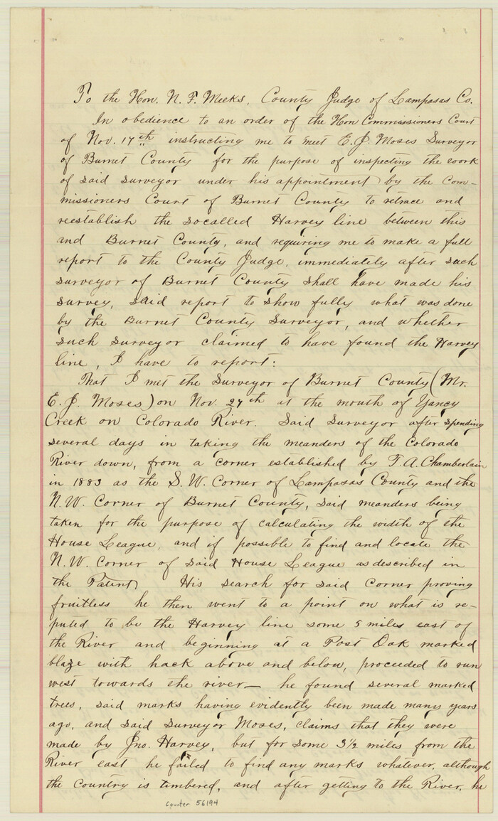
Lampasas County Boundary File 13
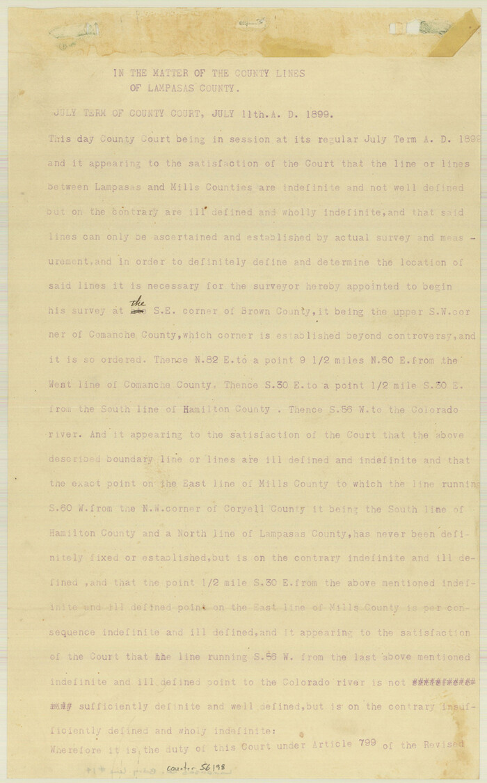
Lampasas County Boundary File 14
Lampasas County Boundary File 15

Bell County Working Sketch 6
1946
-
Size
24.9 x 33.6 inches
-
Map/Doc
67346
-
Creation Date
1946

Bell County Working Sketch 7
1947
-
Size
43.7 x 34.9 inches
-
Map/Doc
67347
-
Creation Date
1947

Burnet County
1881
-
Size
16.0 x 16.2 inches
-
Map/Doc
75785
-
Creation Date
1881

Burnet County Sketch File 14a
-
Size
17.0 x 11.0 inches
-
Map/Doc
16700

Burnet County Sketch File 27a
1876
-
Size
8.7 x 8.2 inches
-
Map/Doc
16732
-
Creation Date
1876

Burnet County Sketch File 27b
1876
-
Size
10.3 x 8.1 inches
-
Map/Doc
16737
-
Creation Date
1876

Coryell County Sketch File 16
-
Size
6.5 x 5.4 inches
-
Map/Doc
19373

Coryell County Working Sketch 11
1949
-
Size
29.7 x 27.5 inches
-
Map/Doc
68218
-
Creation Date
1949

Coryell County Working Sketch 22
1976
-
Size
24.9 x 35.3 inches
-
Map/Doc
68229
-
Creation Date
1976

Coryell County Working Sketch 23
1977
-
Size
27.6 x 30.6 inches
-
Map/Doc
68230
-
Creation Date
1977

General Highway Map, Lampasas County, Texas
1940
-
Size
18.5 x 24.7 inches
-
Map/Doc
79169
-
Creation Date
1940

General Highway Map, Lampasas County, Texas
1961
-
Size
18.2 x 24.7 inches
-
Map/Doc
79563
-
Creation Date
1961

Hamilton County Sketch File 10 1/2
1876
-
Size
9.2 x 8.3 inches
-
Map/Doc
24931
-
Creation Date
1876

Hamilton County Sketch File 15
1882
-
Size
8.0 x 11.8 inches
-
Map/Doc
24941
-
Creation Date
1882

Hamilton County Sketch File 16
1898
-
Size
22.6 x 19.6 inches
-
Map/Doc
11616
-
Creation Date
1898

Hamilton County Sketch File 6
-
Size
15.7 x 10.6 inches
-
Map/Doc
24910

Lampasas Co.
1888
-
Size
31.0 x 40.5 inches
-
Map/Doc
16874
-
Creation Date
1888
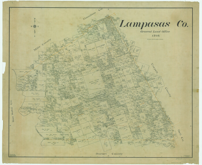
Lampasas Co.
1910
-
Size
38.5 x 47.3 inches
-
Map/Doc
5010
-
Creation Date
1910
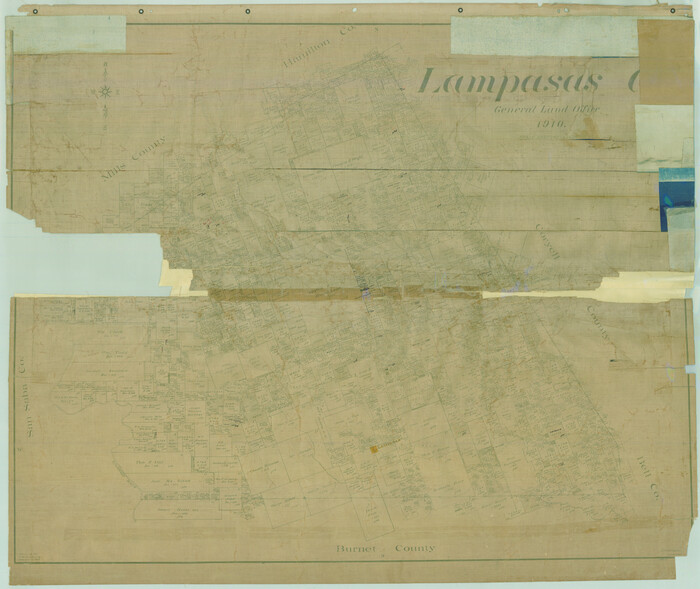
Lampasas Co.
1910
-
Size
37.0 x 44.0 inches
-
Map/Doc
78415
-
Creation Date
1910

Lampasas Co.
1910
-
Size
36.2 x 44.9 inches
-
Map/Doc
78437
-
Creation Date
1910
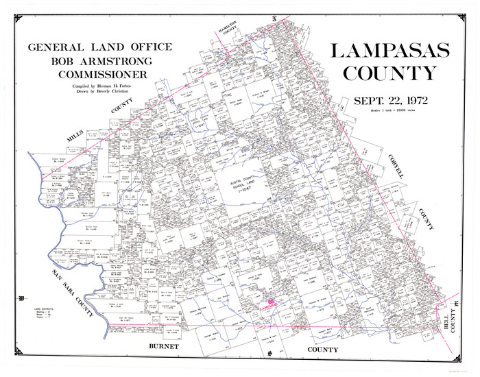
Lampasas County
1972
-
Size
34.4 x 43.4 inches
-
Map/Doc
73214
-
Creation Date
1972

Lampasas County
1972
-
Size
33.2 x 41.9 inches
-
Map/Doc
77347
-
Creation Date
1972
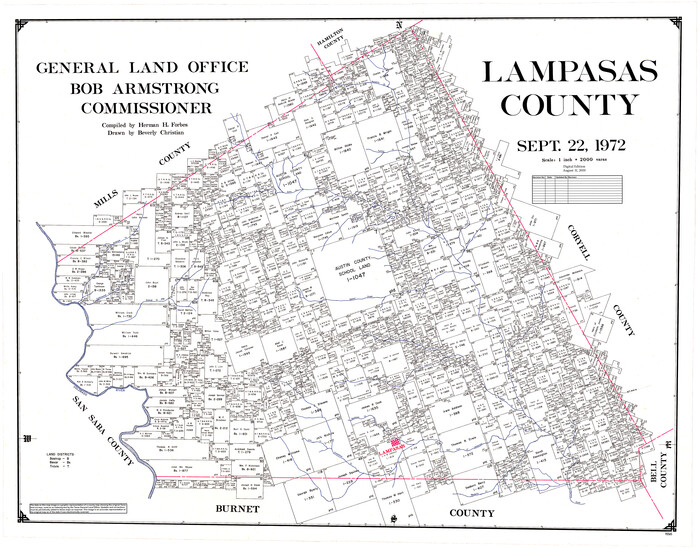
Lampasas County
1972
-
Size
35.6 x 44.6 inches
-
Map/Doc
95565
-
Creation Date
1972

Lampasas County Boundary File 1
-
Size
10.2 x 8.2 inches
-
Map/Doc
56093

Lampasas County Boundary File 10
-
Size
12.8 x 7.9 inches
-
Map/Doc
56184

Lampasas County Boundary File 11
-
Size
14.0 x 8.6 inches
-
Map/Doc
56189

Lampasas County Boundary File 12
-
Size
11.0 x 8.6 inches
-
Map/Doc
56191

Lampasas County Boundary File 13
-
Size
14.1 x 8.6 inches
-
Map/Doc
56194

Lampasas County Boundary File 14
-
Size
13.3 x 8.3 inches
-
Map/Doc
56198

Lampasas County Boundary File 15
-
Size
8.8 x 6.6 inches
-
Map/Doc
56203