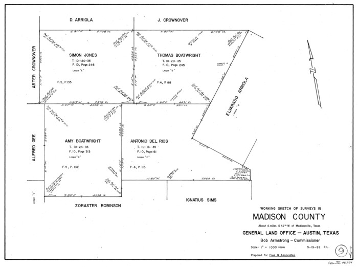
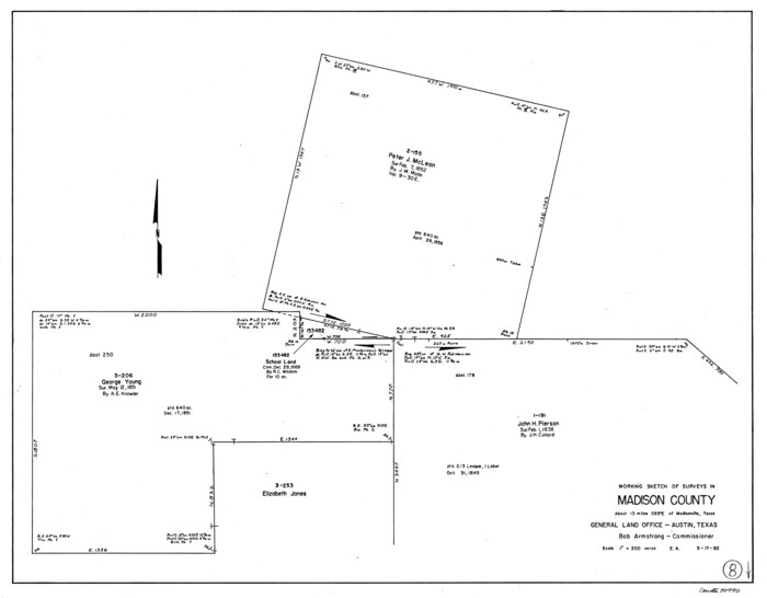
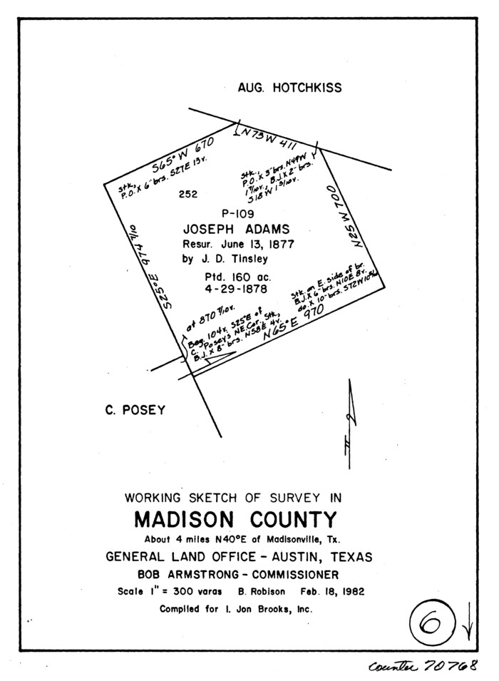
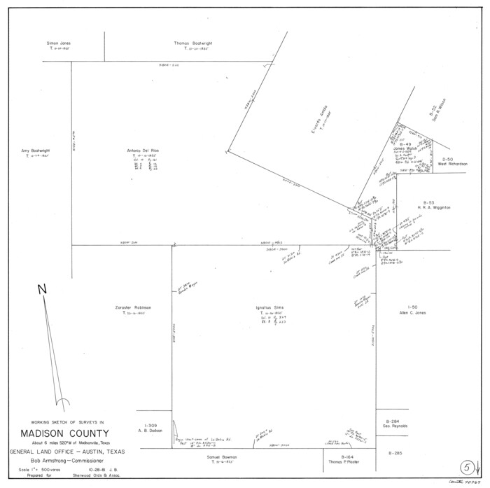
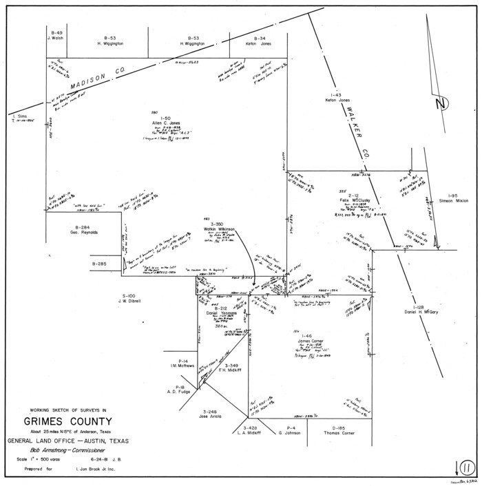
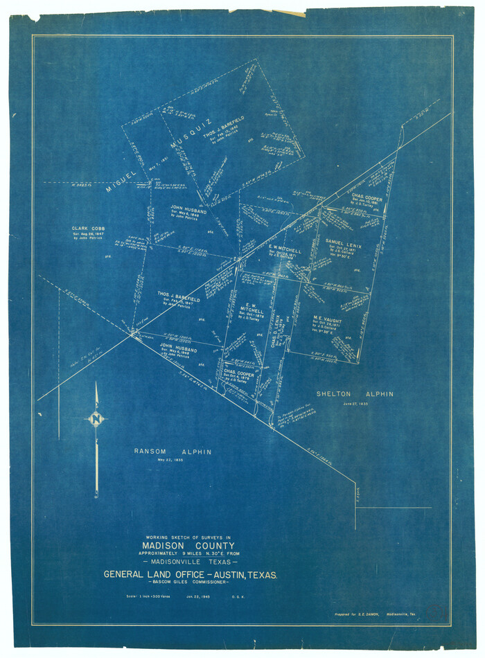
Madison County Working Sketch 15
Print $20.00
- Digital $50.00
Madison County Working Sketch 15
2009
Size: 42.3 x 36.0 inches
89019
Madison County Rolled Sketch 1
Print $20.00
- Digital $50.00
Madison County Rolled Sketch 1
1966
Size: 36.7 x 46.0 inches
9485
Madison County Rolled Sketch 1A
Print $20.00
- Digital $50.00
Madison County Rolled Sketch 1A
1966
Size: 36.1 x 45.5 inches
9486
General Highway Map, Madison County, Texas
Print $20.00
General Highway Map, Madison County, Texas
1961
Size: 18.1 x 24.6 inches
79581
General Highway Map, Madison County, Texas
Print $20.00
General Highway Map, Madison County, Texas
1940
Size: 18.3 x 24.5 inches
79183
Map showing location of Texas Prison Farms surveyed for the Texas Prison System
Print $20.00
- Digital $50.00
Map showing location of Texas Prison Farms surveyed for the Texas Prison System
1934
Size: 15.6 x 12.3 inches
94277
Trinity River, Clapps Ferry Sheet
Print $20.00
- Digital $50.00
Trinity River, Clapps Ferry Sheet
1925
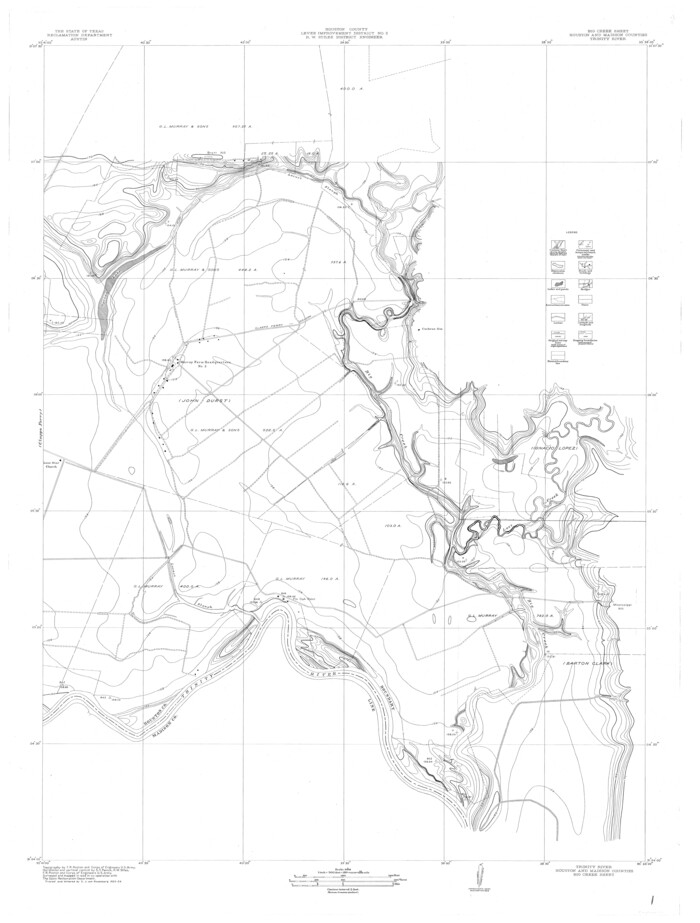
Size: 47.5 x 36.4 inches
65180
Trinity River, Big Creek Sheet
Print $40.00
- Digital $50.00
Trinity River, Big Creek Sheet
1924
Size: 48.0 x 36.4 inches
65179
Madison Co.
Print $40.00
- Digital $50.00
Madison Co.
1922
Size: 30.9 x 48.5 inches
1886
Madison Co.
Print $40.00
- Digital $50.00
Madison Co.
1922
Size: 28.7 x 48.4 inches
73228
Madison County Working Sketch Graphic Index
Print $20.00
- Digital $50.00
Madison County Working Sketch Graphic Index
1922
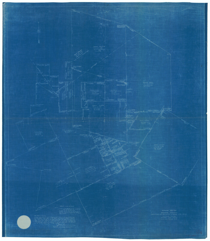
Size: 29.4 x 47.6 inches
76628
Madison Co.
Print $20.00
- Digital $50.00
Madison Co.
1922
Size: 26.9 x 45.6 inches
77364
Madison Co.
Print $40.00
- Digital $50.00
Madison Co.
1922
Size: 30.2 x 49.9 inches
95578
Map of Madison County
Print $20.00
- Digital $50.00
Map of Madison County
1880
Size: 17.0 x 24.9 inches
3832
Map of Madison County, Texas
Print $20.00
- Digital $50.00
Map of Madison County, Texas
1879
Size: 17.1 x 21.7 inches
643
Madison County
Print $20.00
- Digital $50.00
Madison County
1871
Size: 14.0 x 19.6 inches
3833
Madison County
Print $20.00
- Digital $50.00
Madison County
1871
Size: 15.2 x 20.3 inches
4587
Map of Madison County
Print $20.00
- Digital $50.00
Map of Madison County
1858
Size: 19.8 x 31.7 inches
3834
Sketches of Surveys in Montgomery Co.
Print $2.00
- Digital $50.00
Sketches of Surveys in Montgomery Co.
1845
Size: 10.2 x 8.0 inches
69731
English Field Notes of the Spanish Archives - Book 4 & W
1836
96530
Three Sitios of Land Granted to Vicente Micheli April 28th 1806
Print $2.00
- Digital $50.00
Three Sitios of Land Granted to Vicente Micheli April 28th 1806
1835
Size: 11.8 x 8.1 inches
170
English Field Notes of the Spanish Archives - Book 5
1835
96531
English Field Notes of the Spanish Archives - Book 7
1835
96533
English Field Notes of the Spanish Archives - Book 9
1835
96535
English Field Notes of the Spanish Archives - Book A-B
1835
96540
English Field Notes of the Spanish Archives - Books GMP, FH, SCH, and JAV
1835
96545
English Field Notes of the Spanish Archives - Books DB3 & WR
1835
96548
English Field Notes of the Spanish Archives - Books R & MC
1835
96552
Atlas T - Titles to Frontier Settlers issued by the Commissioner Carlos S. Taylor
1834
94536
[Surveys in Austin's Colony along the San Antonio Road and the Navasota River]
Print $20.00
- Digital $50.00
[Surveys in Austin's Colony along the San Antonio Road and the Navasota River]
1833
Size: 16.1 x 34.7 inches
202
Madison County Working Sketch 15
Print $20.00
- Digital $50.00
Madison County Working Sketch 15
2009
-
Size
42.3 x 36.0 inches
-
Map/Doc
89019
-
Creation Date
2009
Madison County Rolled Sketch 1
Print $20.00
- Digital $50.00
Madison County Rolled Sketch 1
1966
-
Size
36.7 x 46.0 inches
-
Map/Doc
9485
-
Creation Date
1966
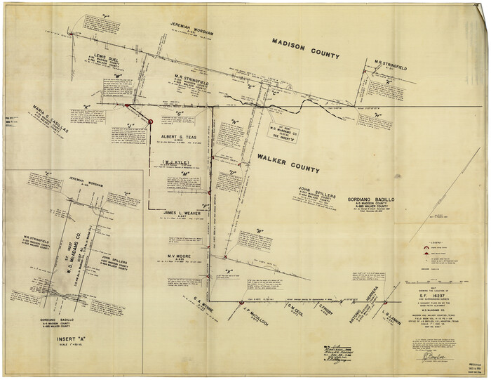
Madison County Rolled Sketch 1A
Print $20.00
- Digital $50.00
Madison County Rolled Sketch 1A
1966
-
Size
36.1 x 45.5 inches
-
Map/Doc
9486
-
Creation Date
1966
General Highway Map, Madison County, Texas
Print $20.00
General Highway Map, Madison County, Texas
1961
-
Size
18.1 x 24.6 inches
-
Map/Doc
79581
-
Creation Date
1961
General Highway Map, Madison County, Texas
Print $20.00
General Highway Map, Madison County, Texas
1940
-
Size
18.3 x 24.5 inches
-
Map/Doc
79183
-
Creation Date
1940
Map showing location of Texas Prison Farms surveyed for the Texas Prison System
Print $20.00
- Digital $50.00
Map showing location of Texas Prison Farms surveyed for the Texas Prison System
1934
-
Size
15.6 x 12.3 inches
-
Map/Doc
94277
-
Creation Date
1934
Trinity River, Clapps Ferry Sheet
Print $20.00
- Digital $50.00
Trinity River, Clapps Ferry Sheet
1925
-
Size
47.5 x 36.4 inches
-
Map/Doc
65180
-
Creation Date
1925
Trinity River, Big Creek Sheet
Print $40.00
- Digital $50.00
Trinity River, Big Creek Sheet
1924
-
Size
48.0 x 36.4 inches
-
Map/Doc
65179
-
Creation Date
1924
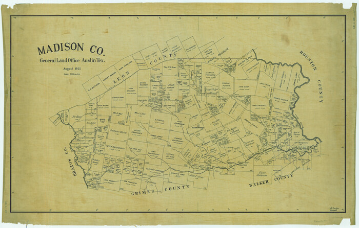
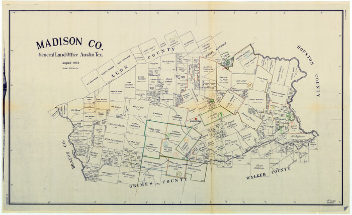
Madison Co.
Print $40.00
- Digital $50.00
Madison Co.
1922
-
Size
30.9 x 48.5 inches
-
Map/Doc
1886
-
Creation Date
1922
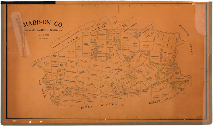
Madison Co.
Print $40.00
- Digital $50.00
Madison Co.
1922
-
Size
28.7 x 48.4 inches
-
Map/Doc
73228
-
Creation Date
1922
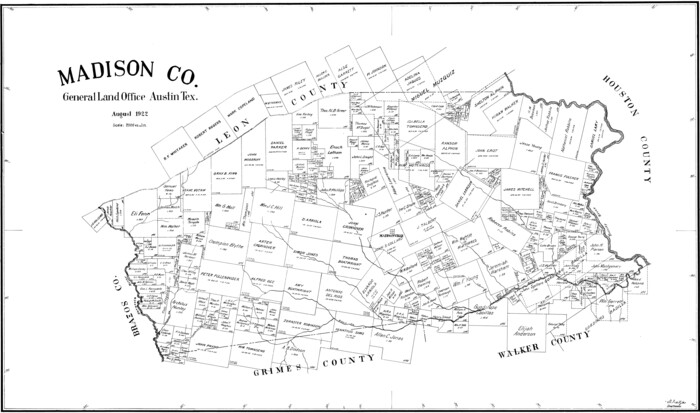
Madison County Working Sketch Graphic Index
Print $20.00
- Digital $50.00
Madison County Working Sketch Graphic Index
1922
-
Size
29.4 x 47.6 inches
-
Map/Doc
76628
-
Creation Date
1922
Madison Co.
Print $20.00
- Digital $50.00
Madison Co.
1922
-
Size
26.9 x 45.6 inches
-
Map/Doc
77364
-
Creation Date
1922
Madison Co.
Print $40.00
- Digital $50.00
Madison Co.
1922
-
Size
30.2 x 49.9 inches
-
Map/Doc
95578
-
Creation Date
1922
Map of Madison County
Print $20.00
- Digital $50.00
Map of Madison County
1880
-
Size
17.0 x 24.9 inches
-
Map/Doc
3832
-
Creation Date
1880
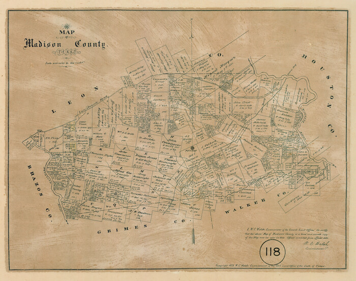
Map of Madison County, Texas
Print $20.00
- Digital $50.00
Map of Madison County, Texas
1879
-
Size
17.1 x 21.7 inches
-
Map/Doc
643
-
Creation Date
1879
Madison County
Print $20.00
- Digital $50.00
Madison County
1871
-
Size
14.0 x 19.6 inches
-
Map/Doc
3833
-
Creation Date
1871
Madison County
Print $20.00
- Digital $50.00
Madison County
1871
-
Size
15.2 x 20.3 inches
-
Map/Doc
4587
-
Creation Date
1871
Map of Madison County
Print $20.00
- Digital $50.00
Map of Madison County
1858
-
Size
19.8 x 31.7 inches
-
Map/Doc
3834
-
Creation Date
1858
Sketches of Surveys in Montgomery Co.
Print $2.00
- Digital $50.00
Sketches of Surveys in Montgomery Co.
1845
-
Size
10.2 x 8.0 inches
-
Map/Doc
69731
-
Creation Date
1845
English Field Notes of the Spanish Archives - Book 4 & W
1836
-
Map/Doc
96530
-
Creation Date
1836
Three Sitios of Land Granted to Vicente Micheli April 28th 1806
Print $2.00
- Digital $50.00
Three Sitios of Land Granted to Vicente Micheli April 28th 1806
1835
-
Size
11.8 x 8.1 inches
-
Map/Doc
170
-
Creation Date
1835
English Field Notes of the Spanish Archives - Book 5
1835
-
Map/Doc
96531
-
Creation Date
1835
English Field Notes of the Spanish Archives - Book 7
1835
-
Map/Doc
96533
-
Creation Date
1835
English Field Notes of the Spanish Archives - Book 9
1835
-
Map/Doc
96535
-
Creation Date
1835
English Field Notes of the Spanish Archives - Book A-B
1835
-
Map/Doc
96540
-
Creation Date
1835
English Field Notes of the Spanish Archives - Books GMP, FH, SCH, and JAV
1835
-
Map/Doc
96545
-
Creation Date
1835
English Field Notes of the Spanish Archives - Books DB3 & WR
1835
-
Map/Doc
96548
-
Creation Date
1835
English Field Notes of the Spanish Archives - Books R & MC
1835
-
Map/Doc
96552
-
Creation Date
1835
Atlas T - Titles to Frontier Settlers issued by the Commissioner Carlos S. Taylor
1834
-
Map/Doc
94536
-
Creation Date
1834
[Surveys in Austin's Colony along the San Antonio Road and the Navasota River]
Print $20.00
- Digital $50.00
[Surveys in Austin's Colony along the San Antonio Road and the Navasota River]
1833
-
Size
16.1 x 34.7 inches
-
Map/Doc
202
-
Creation Date
1833