139 results

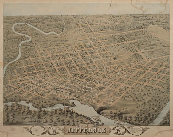
Bird's Eye View of Jefferson, Texas
89095.tif
Print $20.00

Bird's Eye View of Jefferson, Texas

1872

Size: 18.7 x 23.5 inches
89095
Caddo Lake and Subdivision
93283.tif
Print $20.00 - Digital $50.00

Caddo Lake and Subdivision

1918

Size: 35.0 x 29.8 inches
93283
Cass County Rolled Sketch 2
5409.tif
Print $20.00 - Digital $50.00

Cass County Rolled Sketch 2

1936

Size: 35.2 x 18.0 inches
5409
Cass County Rolled Sketch 3
8585.tif
Print $20.00 - Digital $50.00

Cass County Rolled Sketch 3

1937

Size: 34.9 x 34.6 inches
8585
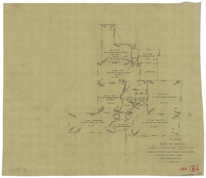
Cass County Rolled Sketch 5A
5411.tif
Print $20.00 - Digital $50.00

Cass County Rolled Sketch 5A

Size: 15.4 x 18.0 inches
5411
Cass County Rolled Sketch OF
5414.tif
Print $20.00 - Digital $50.00

Cass County Rolled Sketch OF

1937

Size: 16.2 x 24.3 inches
5414
Cass County Rolled Sketch OPD
5415.tif
Print $20.00 - Digital $50.00

Cass County Rolled Sketch OPD

1936

Size: 29.6 x 24.9 inches
5415
Cass County Rolled Sketch OPD
5483.tif
Print $20.00 - Digital $50.00

Cass County Rolled Sketch OPD

1936

Size: 29.4 x 25.1 inches
5483
Cass County Rolled Sketch OPD
5484.tif
Print $20.00 - Digital $50.00

Cass County Rolled Sketch OPD

1936

Size: 29.6 x 26.1 inches
5484
Cass County Sketch File 25
17444, Cass County Sketch File 25, General Map Collection
Print $14.00 - Digital $50.00

Cass County Sketch File 25

1936

Size: 14.3 x 8.9 inches
17444
Cass County Sketch File 5 1/2
17404, Cass County Sketch File 5 1/2, General Map Collection
Print $4.00 - Digital $50.00

Cass County Sketch File 5 1/2

1851

Size: 6.1 x 8.5 inches
17404
Cass County Sketch File 6
17406, Cass County Sketch File 6, General Map Collection
Print $4.00 - Digital $50.00

Cass County Sketch File 6

1852

Size: 8.4 x 8.8 inches
17406
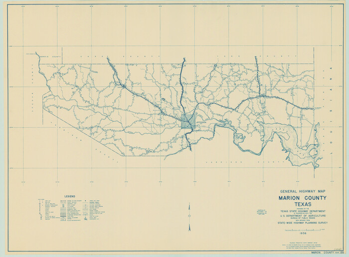
General Highway Map, Marion County, Texas
79184.tif
Print $20.00

General Highway Map, Marion County, Texas

1940

Size: 18.3 x 24.7 inches
79184
General Highway Map, Marion County, Texas
79582.tif
Print $20.00

General Highway Map, Marion County, Texas

1961
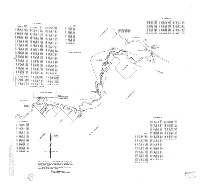
Size: 18.2 x 24.6 inches
79582
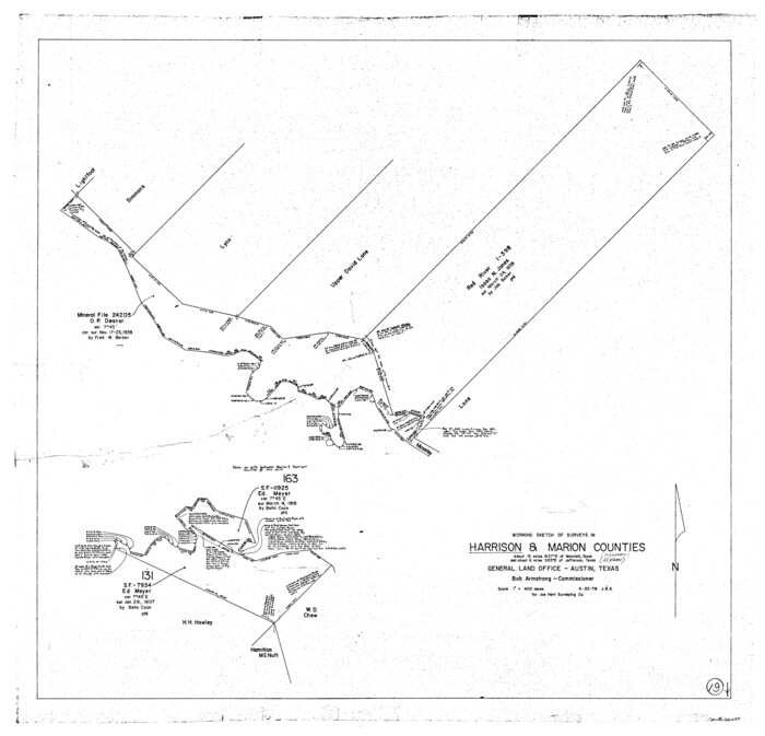
Harrison County Rolled Sketch 7
9144.tif
Print $20.00 - Digital $50.00

Harrison County Rolled Sketch 7

1953

Size: 36.0 x 37.1 inches
9144
Harrison County Rolled Sketch 9
9145.tif
Print $20.00 - Digital $50.00

Harrison County Rolled Sketch 9

1955

Size: 36.0 x 37.1 inches
9145
Harrison County Sketch File 14
26053, Harrison County Sketch File 14, General Map Collection
Print $32.00 - Digital $50.00

Harrison County Sketch File 14

1880

Size: 11.2 x 8.8 inches
26053
Harrison County Sketch File 15
11690, Harrison County Sketch File 15, General Map Collection
Print $20.00 - Digital $50.00

Harrison County Sketch File 15

Size: 23.2 x 23.0 inches
11690
Harrison County Sketch File 16
10488, Harrison County Sketch File 16, General Map Collection
Print $20.00 - Digital $50.00

Harrison County Sketch File 16

1910

Size: 41.7 x 27.5 inches
10488
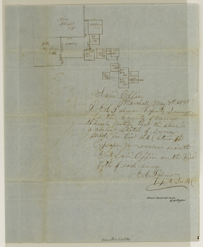
Harrison County Sketch File 7
26046, Harrison County Sketch File 7, General Map Collection
Print $6.00 - Digital $50.00

Harrison County Sketch File 7

1858

Size: 11.7 x 9.7 inches
26046
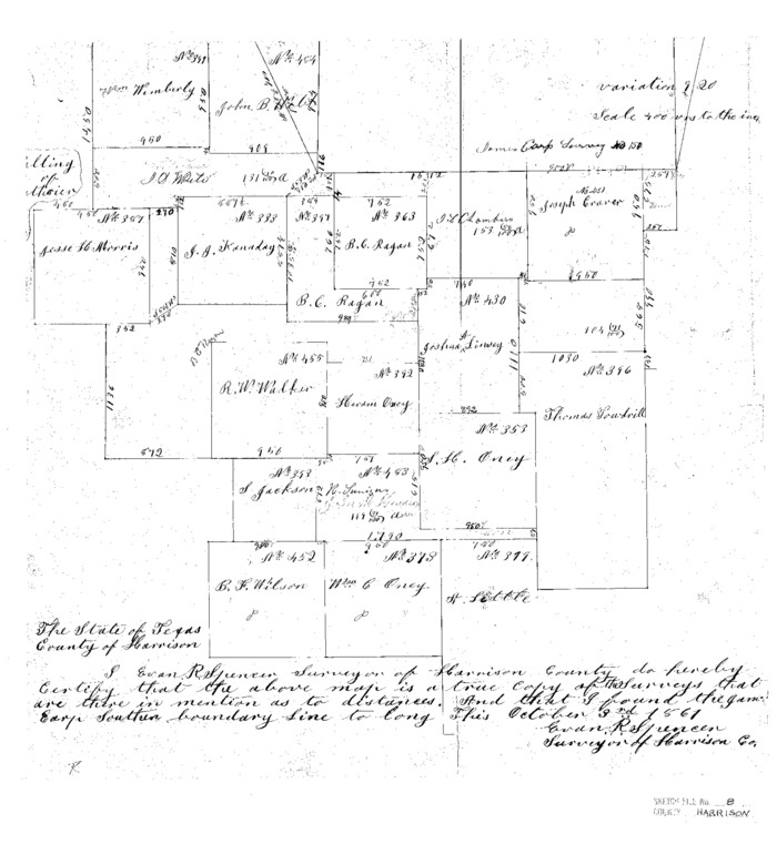
Harrison County Sketch File 8
11685, Harrison County Sketch File 8, General Map Collection
Print $20.00 - Digital $50.00

Harrison County Sketch File 8

1861

Size: 17.3 x 15.9 inches
11685
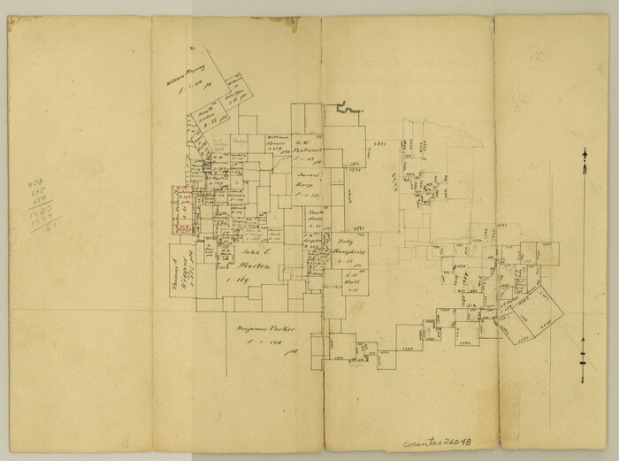
Harrison County Sketch File 9
26048, Harrison County Sketch File 9, General Map Collection
Print $4.00 - Digital $50.00

Harrison County Sketch File 9

1862

Size: 8.3 x 11.1 inches
26048
Map Exhibiting the line of the Southern Trans-Continental R.R. from Marshall to Texarkana from Texarkana to Forth Worth
64241-GC.tif
Print $20.00 - Digital $50.00

Map Exhibiting the line of the Southern Trans-Continental R.R. from Marshall to Texarkana from Texarkana to Forth Worth

1872
Size: 24.6 x 47.8 inches
64241
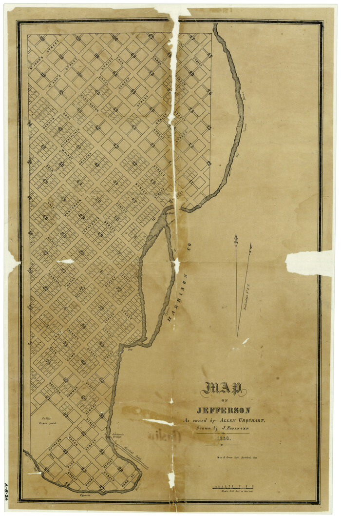
Map of Jefferson as owned by Allen Urquhart
1684.tif
Print $20.00 - Digital $50.00

Map of Jefferson as owned by Allen Urquhart

1850
Size: 25.1 x 16.6 inches
1684
Map of Marion County
4783.tif
Print $20.00 - Digital $50.00

Map of Marion County

1901

Size: 29.6 x 44.3 inches
4783
Map of Marion County
66915.tif
Print $20.00 - Digital $50.00

Map of Marion County

1901

Size: 31.1 x 41.9 inches
66915
Map of Marion County
66916.tif
Print $20.00 - Digital $50.00

Map of Marion County

1920

Size: 29.2 x 43.2 inches
66916
Map of Marion County
66917.tif
Print $20.00 - Digital $50.00

Map of Marion County

1920

Size: 29.6 x 42.7 inches
66917
Map of Marion County
78405.tif
Print $20.00 - Digital $50.00

Map of Marion County

1920

Size: 29.2 x 42.2 inches
78405
Marion County
1888.tif
Print $20.00 - Digital $50.00

Marion County

1943

Size: 28.1 x 46.2 inches
1888
Bird's Eye View of Jefferson, Texas
89095, Bird's Eye View of Jefferson, Texas, Non-GLO Digital Images
Print $20.00

Bird's Eye View of Jefferson, Texas

1872

  • Size

    18.7 x 23.5 inches

  • Map/Doc

    89095

  • Creation Date

    1872

Caddo Lake and Subdivision
93283, Caddo Lake and Subdivision, General Map Collection
Print $20.00 - Digital $50.00

Caddo Lake and Subdivision

1918

  • Size

    35.0 x 29.8 inches

  • Map/Doc

    93283

  • Creation Date

    1918

Cass County Rolled Sketch 2
5409, Cass County Rolled Sketch 2, General Map Collection
Print $20.00 - Digital $50.00

Cass County Rolled Sketch 2

1936

  • Size

    35.2 x 18.0 inches

  • Map/Doc

    5409

  • Creation Date

    1936

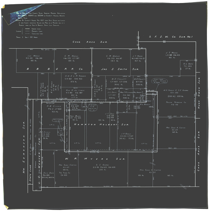
Cass County Rolled Sketch 3
8585, Cass County Rolled Sketch 3, General Map Collection
Print $20.00 - Digital $50.00

Cass County Rolled Sketch 3

1937

  • Size

    34.9 x 34.6 inches

  • Map/Doc

    8585

  • Creation Date

    1937

Cass County Rolled Sketch 5A
5411, Cass County Rolled Sketch 5A, General Map Collection
Print $20.00 - Digital $50.00

Cass County Rolled Sketch 5A

  • Size

    15.4 x 18.0 inches

  • Map/Doc

    5411

Cass County Rolled Sketch OF
5414, Cass County Rolled Sketch OF, General Map Collection
Print $20.00 - Digital $50.00

Cass County Rolled Sketch OF

1937

  • Size

    16.2 x 24.3 inches

  • Map/Doc

    5414

  • Creation Date

    1937

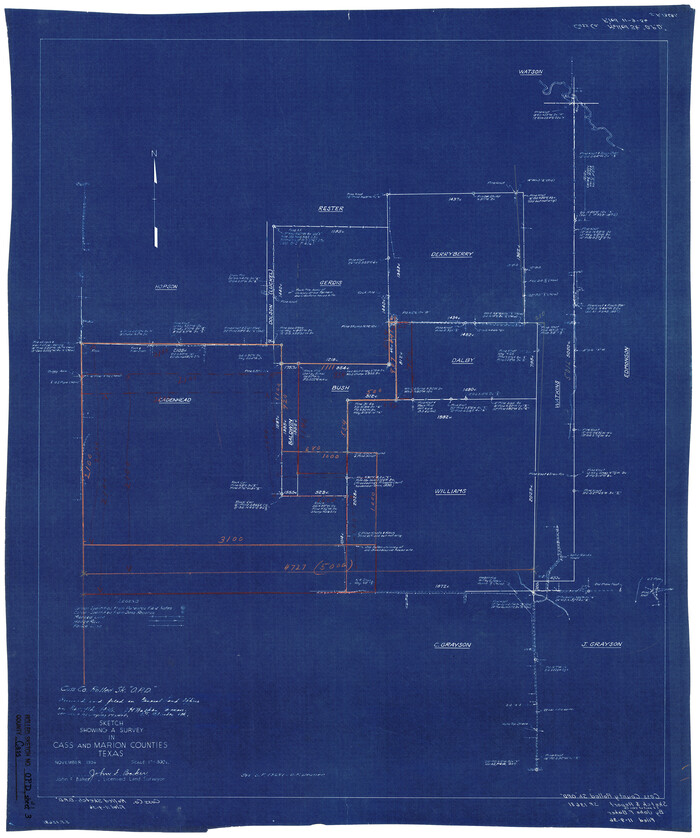
Cass County Rolled Sketch OPD
5415, Cass County Rolled Sketch OPD, General Map Collection
Print $20.00 - Digital $50.00

Cass County Rolled Sketch OPD

1936

  • Size

    29.6 x 24.9 inches

  • Map/Doc

    5415

  • Creation Date

    1936

Cass County Rolled Sketch OPD
5483, Cass County Rolled Sketch OPD, General Map Collection
Print $20.00 - Digital $50.00

Cass County Rolled Sketch OPD

1936

  • Size

    29.4 x 25.1 inches

  • Map/Doc

    5483

  • Creation Date

    1936

Cass County Rolled Sketch OPD
5484, Cass County Rolled Sketch OPD, General Map Collection
Print $20.00 - Digital $50.00

Cass County Rolled Sketch OPD

1936

  • Size

    29.6 x 26.1 inches

  • Map/Doc

    5484

  • Creation Date

    1936

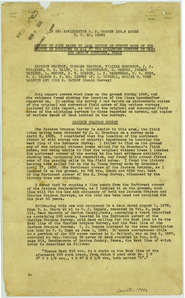
Cass County Sketch File 25
17444, Cass County Sketch File 25, General Map Collection
Print $14.00 - Digital $50.00

Cass County Sketch File 25

1936

  • Size

    14.3 x 8.9 inches

  • Map/Doc

    17444

  • Creation Date

    1936

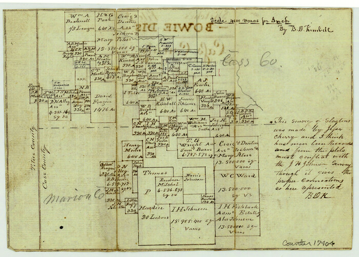
Cass County Sketch File 5 1/2
17404, Cass County Sketch File 5 1/2, General Map Collection
Print $4.00 - Digital $50.00

Cass County Sketch File 5 1/2

1851

  • Size

    6.1 x 8.5 inches

  • Map/Doc

    17404

  • Creation Date

    1851

Cass County Sketch File 6
17406, Cass County Sketch File 6, General Map Collection
Print $4.00 - Digital $50.00

Cass County Sketch File 6

1852

  • Size

    8.4 x 8.8 inches

  • Map/Doc

    17406

  • Creation Date

    1852

General Highway Map, Marion County, Texas
79184, General Highway Map, Marion County, Texas, Texas State Library and Archives
Print $20.00

General Highway Map, Marion County, Texas

1940

  • Size

    18.3 x 24.7 inches

  • Map/Doc

    79184

  • Creation Date

    1940

General Highway Map, Marion County, Texas
79582, General Highway Map, Marion County, Texas, Texas State Library and Archives
Print $20.00

General Highway Map, Marion County, Texas

1961

  • Size

    18.2 x 24.6 inches

  • Map/Doc

    79582

  • Creation Date

    1961

Harrison County Rolled Sketch 7
9144, Harrison County Rolled Sketch 7, General Map Collection
Print $20.00 - Digital $50.00

Harrison County Rolled Sketch 7

1953

  • Size

    36.0 x 37.1 inches

  • Map/Doc

    9144

  • Creation Date

    1953

Harrison County Rolled Sketch 9
9145, Harrison County Rolled Sketch 9, General Map Collection
Print $20.00 - Digital $50.00

Harrison County Rolled Sketch 9

1955

  • Size

    36.0 x 37.1 inches

  • Map/Doc

    9145

  • Creation Date

    1955

Harrison County Sketch File 14
26053, Harrison County Sketch File 14, General Map Collection
Print $32.00 - Digital $50.00

Harrison County Sketch File 14

1880

  • Size

    11.2 x 8.8 inches

  • Map/Doc

    26053

  • Creation Date

    1880

Harrison County Sketch File 15
11690, Harrison County Sketch File 15, General Map Collection
Print $20.00 - Digital $50.00

Harrison County Sketch File 15

  • Size

    23.2 x 23.0 inches

  • Map/Doc

    11690

Harrison County Sketch File 16
10488, Harrison County Sketch File 16, General Map Collection
Print $20.00 - Digital $50.00

Harrison County Sketch File 16

1910

  • Size

    41.7 x 27.5 inches

  • Map/Doc

    10488

  • Creation Date

    1910

Harrison County Sketch File 7
26046, Harrison County Sketch File 7, General Map Collection
Print $6.00 - Digital $50.00

Harrison County Sketch File 7

1858

  • Size

    11.7 x 9.7 inches

  • Map/Doc

    26046

  • Creation Date

    1858

Harrison County Sketch File 8
11685, Harrison County Sketch File 8, General Map Collection
Print $20.00 - Digital $50.00

Harrison County Sketch File 8

1861

  • Size

    17.3 x 15.9 inches

  • Map/Doc

    11685

  • Creation Date

    1861

Harrison County Sketch File 9
26048, Harrison County Sketch File 9, General Map Collection
Print $4.00 - Digital $50.00

Harrison County Sketch File 9

1862

  • Size

    8.3 x 11.1 inches

  • Map/Doc

    26048

  • Creation Date

    1862

Map Exhibiting the line of the Southern Trans-Continental R.R. from Marshall to Texarkana from Texarkana to Forth Worth
64241, Map Exhibiting the line of the Southern Trans-Continental R.R. from Marshall to Texarkana from Texarkana to Forth Worth, General Map Collection
Print $20.00 - Digital $50.00

Map Exhibiting the line of the Southern Trans-Continental R.R. from Marshall to Texarkana from Texarkana to Forth Worth

1872

  • Size

    24.6 x 47.8 inches

  • Map/Doc

    64241

  • Creation Date

    1872

Map of Jefferson as owned by Allen Urquhart
1684, Map of Jefferson as owned by Allen Urquhart, General Map Collection
Print $20.00 - Digital $50.00

Map of Jefferson as owned by Allen Urquhart

1850

  • Size

    25.1 x 16.6 inches

  • Map/Doc

    1684

  • Creation Date

    1850

Map of Marion County
4783, Map of Marion County, General Map Collection
Print $20.00 - Digital $50.00

Map of Marion County

1901

  • Size

    29.6 x 44.3 inches

  • Map/Doc

    4783

  • Creation Date

    1901

Map of Marion County
66915, Map of Marion County, General Map Collection
Print $20.00 - Digital $50.00

Map of Marion County

1901

  • Size

    31.1 x 41.9 inches

  • Map/Doc

    66915

  • Creation Date

    1901

Map of Marion County
66916, Map of Marion County, General Map Collection
Print $20.00 - Digital $50.00

Map of Marion County

1920

  • Size

    29.2 x 43.2 inches

  • Map/Doc

    66916

  • Creation Date

    1920

Map of Marion County
66917, Map of Marion County, General Map Collection
Print $20.00 - Digital $50.00

Map of Marion County

1920

  • Size

    29.6 x 42.7 inches

  • Map/Doc

    66917

  • Creation Date

    1920

Map of Marion County
78405, Map of Marion County, General Map Collection
Print $20.00 - Digital $50.00

Map of Marion County

1920

  • Size

    29.2 x 42.2 inches

  • Map/Doc

    78405

  • Creation Date

    1920

Marion County
1888, Marion County, General Map Collection
Print $20.00 - Digital $50.00

Marion County

1943

  • Size

    28.1 x 46.2 inches

  • Map/Doc

    1888

  • Creation Date

    1943