Marion County Rolled Sketch 10
2023
Marion County Working Sketch 46
2011

Marion County Working Sketch 45
2005

Marion County Working Sketch 44
2002
Marion County Working Sketch 43
2002
Marion County Rolled Sketch 9A
2001

Marion County Rolled Sketch 9B
2001
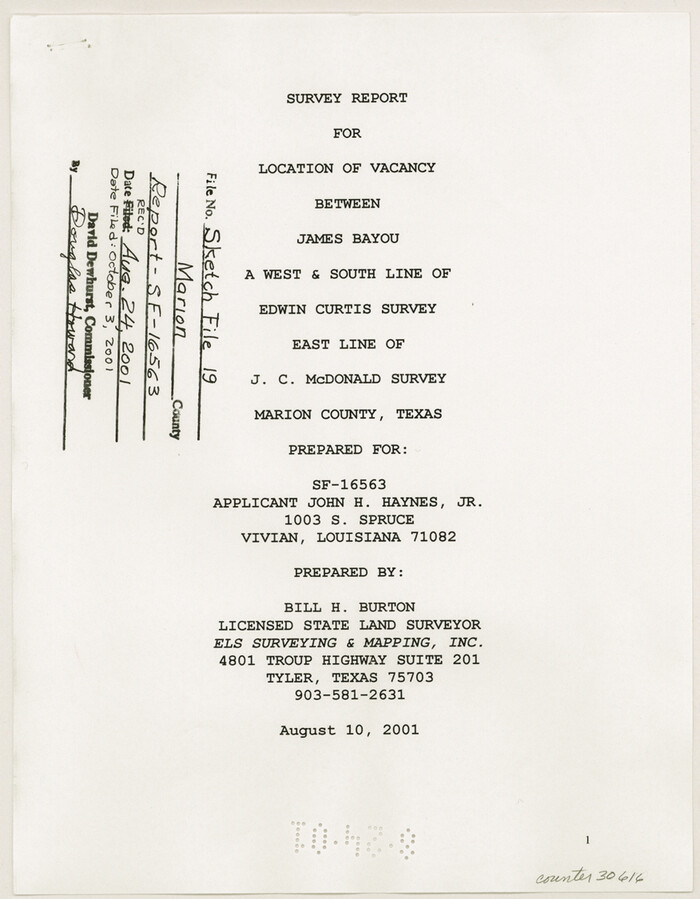
Marion County Sketch File 19
2001
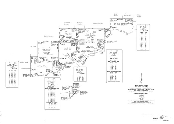
Marion County Working Sketch 42
2000

Marion County Rolled Sketch 8
1998

Marion County Working Sketch 41
1996
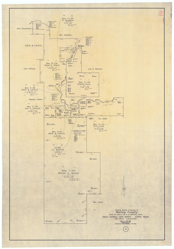
Marion County Working Sketch 40
1992
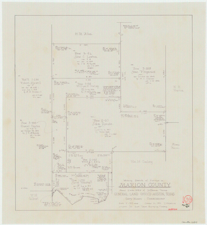
Marion County Working Sketch 39
1991
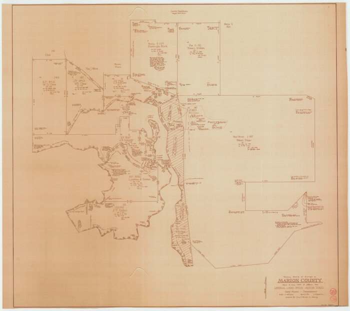
Marion County Working Sketch 38
1991

Marion County Working Sketch 36
1987

Marion County Working Sketch 37
1986

Marion County Working Sketch 35
1985
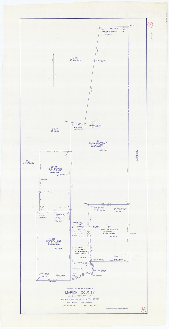
Marion County Working Sketch 34
1983
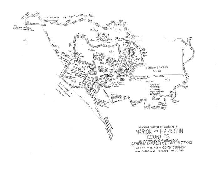
Marion County Working Sketch 33
1983
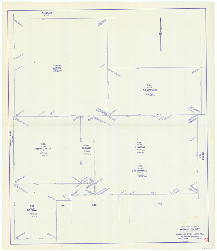
Marion County Working Sketch 32
1982
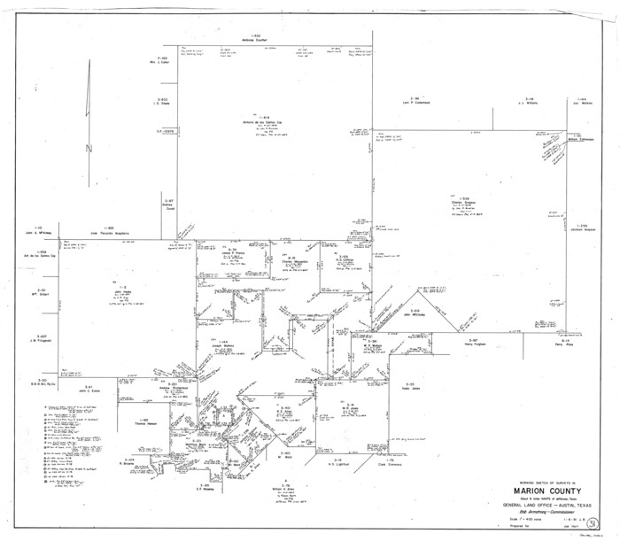
Marion County Working Sketch 31
1981
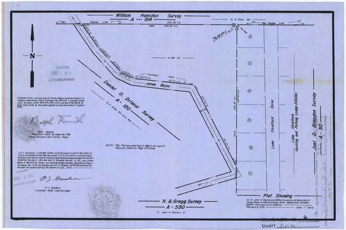
Marion County Rolled Sketch 6
1979
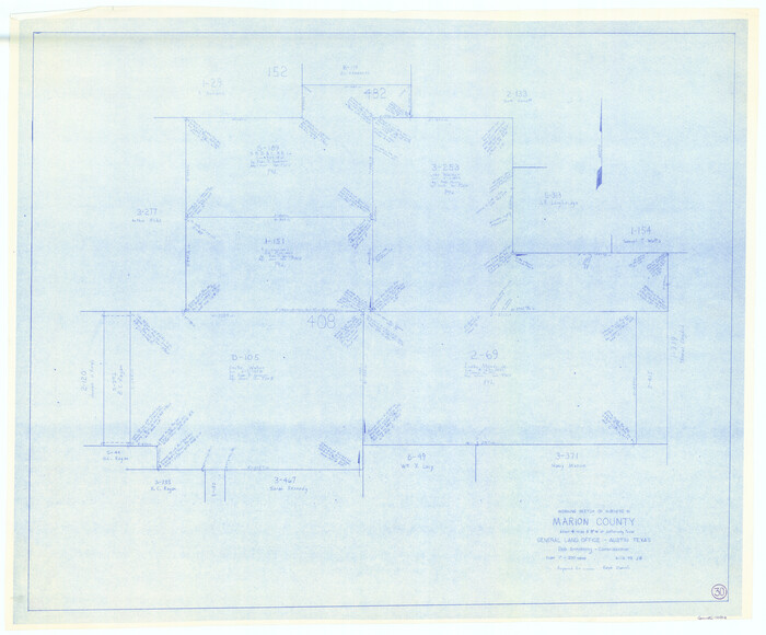
Marion County Working Sketch 30
1979
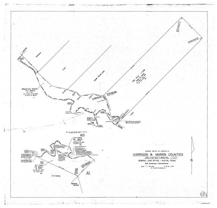
Harrison County Working Sketch 19
1978

Marion County Working Sketch 29
1977
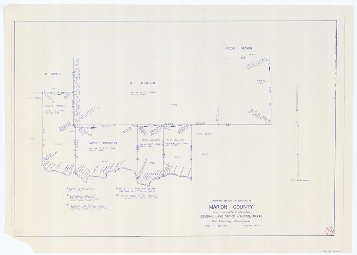
Marion County Working Sketch 28
1975

Cass County Working Sketch 24
1973
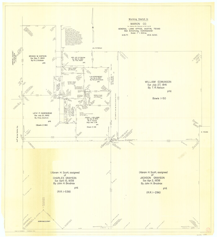
Marion County Working Sketch 27
1971
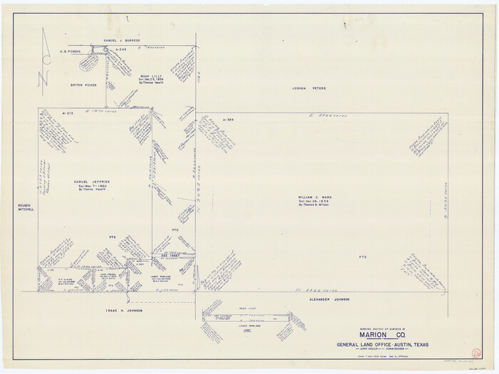
Marion County Working Sketch 26
1970
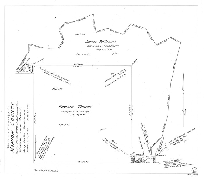
Marion County Working Sketch 25
1968

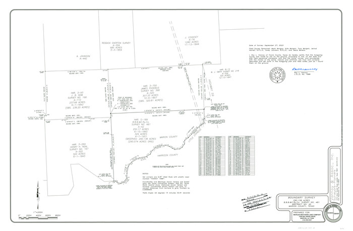
Marion County Rolled Sketch 10
2023
-
Size
24.1 x 36.9 inches
-
Map/Doc
97192
-
Creation Date
2023

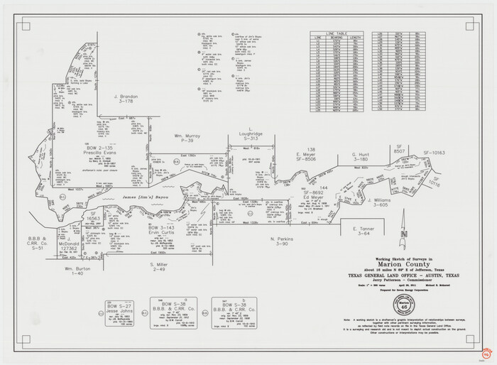
Marion County Working Sketch 46
2011
-
Size
21.4 x 29.1 inches
-
Map/Doc
90032
-
Creation Date
2011

Marion County Working Sketch 45
2005
-
Size
27.0 x 29.2 inches
-
Map/Doc
83576
-
Creation Date
2005

Marion County Working Sketch 44
2002
-
Size
42.7 x 27.0 inches
-
Map/Doc
78215
-
Creation Date
2002

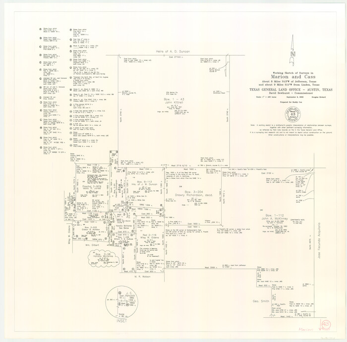
Marion County Working Sketch 43
2002
-
Size
28.6 x 29.0 inches
-
Map/Doc
78214
-
Creation Date
2002

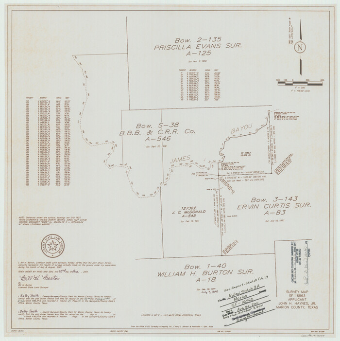
Marion County Rolled Sketch 9A
2001
-
Size
22.9 x 22.9 inches
-
Map/Doc
76419
-
Creation Date
2001

Marion County Rolled Sketch 9B
2001
-
Size
22.5 x 22.4 inches
-
Map/Doc
76420
-
Creation Date
2001

Marion County Sketch File 19
2001
-
Size
11.2 x 8.8 inches
-
Map/Doc
30616
-
Creation Date
2001

Marion County Working Sketch 42
2000
-
Size
29.6 x 41.4 inches
-
Map/Doc
70818
-
Creation Date
2000

Marion County Rolled Sketch 8
1998
-
Size
33.0 x 22.1 inches
-
Map/Doc
6661
-
Creation Date
1998

Marion County Working Sketch 41
1996
-
Size
34.0 x 48.5 inches
-
Map/Doc
70817
-
Creation Date
1996

Marion County Working Sketch 40
1992
-
Size
42.9 x 30.0 inches
-
Map/Doc
70816
-
Creation Date
1992

Marion County Working Sketch 39
1991
-
Size
20.8 x 19.2 inches
-
Map/Doc
70815
-
Creation Date
1991

Marion County Working Sketch 38
1991
-
Size
35.5 x 39.9 inches
-
Map/Doc
70814
-
Creation Date
1991

Marion County Working Sketch 36
1987
-
Size
23.5 x 28.9 inches
-
Map/Doc
70812
-
Creation Date
1987

Marion County Working Sketch 37
1986
-
Size
30.0 x 43.0 inches
-
Map/Doc
70813
-
Creation Date
1986

Marion County Working Sketch 35
1985
-
Size
27.3 x 28.2 inches
-
Map/Doc
70811
-
Creation Date
1985

Marion County Working Sketch 34
1983
-
Size
45.2 x 23.2 inches
-
Map/Doc
70810
-
Creation Date
1983

Marion County Working Sketch 33
1983
-
Size
16.0 x 20.7 inches
-
Map/Doc
70809
-
Creation Date
1983

Marion County Working Sketch 32
1982
-
Size
50.0 x 43.3 inches
-
Map/Doc
70808
-
Creation Date
1982

Marion County Working Sketch 31
1981
-
Size
35.4 x 40.0 inches
-
Map/Doc
70807
-
Creation Date
1981

Marion County Rolled Sketch 6
1979
-
Size
12.2 x 18.3 inches
-
Map/Doc
6659
-
Creation Date
1979

Marion County Working Sketch 30
1979
-
Size
31.7 x 38.3 inches
-
Map/Doc
70806
-
Creation Date
1979

Harrison County Working Sketch 19
1978
-
Size
31.8 x 33.1 inches
-
Map/Doc
66039
-
Creation Date
1978

Marion County Working Sketch 29
1977
-
Size
20.4 x 16.1 inches
-
Map/Doc
70805
-
Creation Date
1977

Marion County Working Sketch 28
1975
-
Size
24.0 x 33.5 inches
-
Map/Doc
70804
-
Creation Date
1975

Cass County Working Sketch 24
1973
-
Size
35.6 x 27.7 inches
-
Map/Doc
67927
-
Creation Date
1973

Marion County Working Sketch 27
1971
-
Size
44.8 x 41.0 inches
-
Map/Doc
70803
-
Creation Date
1971

Marion County Working Sketch 26
1970
-
Size
32.3 x 43.1 inches
-
Map/Doc
70802
-
Creation Date
1970

Marion County Working Sketch 25
1968
-
Size
24.8 x 28.1 inches
-
Map/Doc
70801
-
Creation Date
1968