
McCulloch County Working Sketch 19
2010
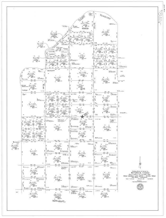
McCulloch County Working Sketch 18
1997

McCulloch County Working Sketch 15
1994

McCulloch County Sketch File 15, 15a, 15b
1993

McCulloch County Rolled Sketch 11
1992

McCulloch County Sketch File 14
1990
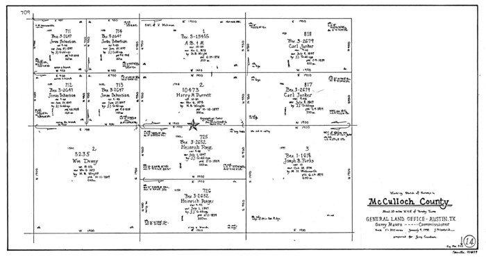
McCulloch County Working Sketch 14
1990
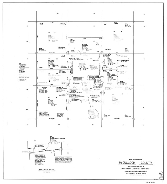
McCulloch County Working Sketch 13
1989
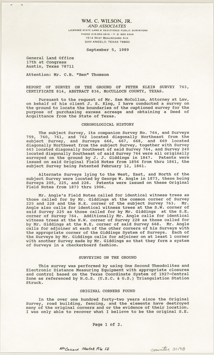
McCulloch County Sketch File 12
1989

San Saba County Working Sketch 9
1983
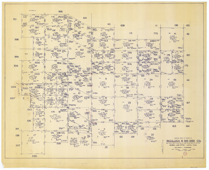
McCulloch County Working Sketch 11
1983
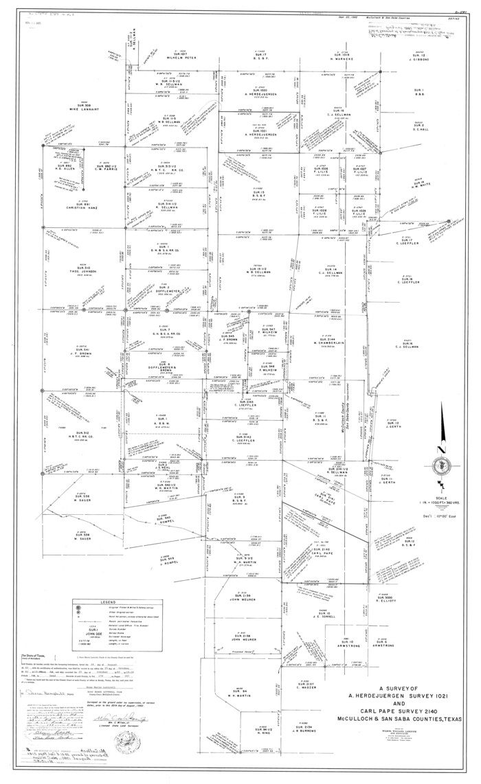
McCulloch County Rolled Sketch 8
1982

McCulloch County Rolled Sketch 7
1982
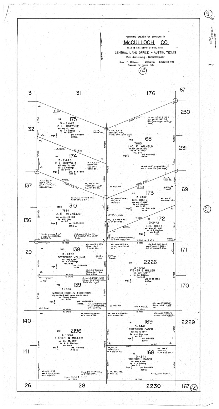
McCulloch County Working Sketch 12
1982
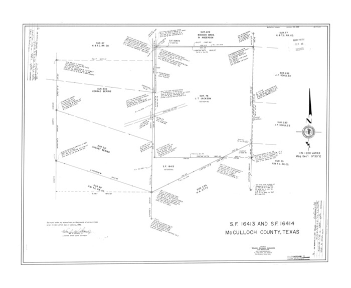
McCulloch County Rolled Sketch 6
1982
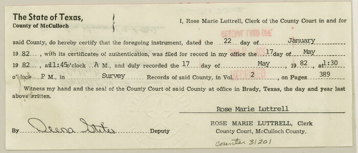
McCulloch County Sketch File 13
1982
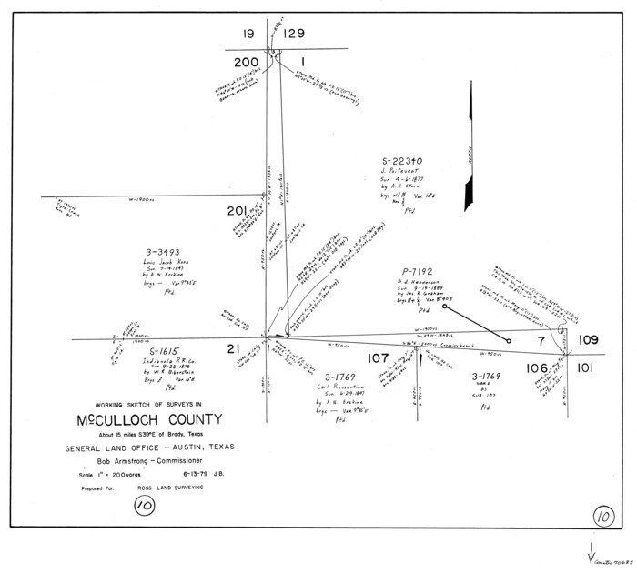
McCulloch County Working Sketch 10
1979
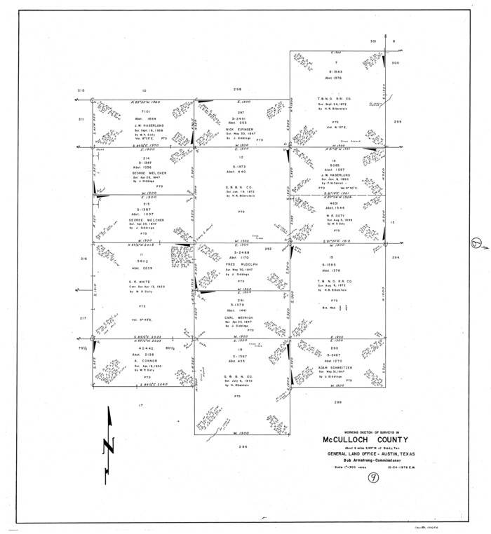
McCulloch County Working Sketch 9
1978

McCulloch County Working Sketch 8
1977

McCulloch County Working Sketch 7
1976
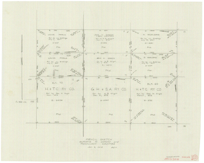
Concho County Working Sketch 23
1975

McCulloch County Working Sketch 6
1961

McCulloch County Working Sketch 5
1961

Menard County Working Sketch 26
1961

General Highway Map, McCulloch County, Texas
1961

McCulloch County Working Sketch 4
1956
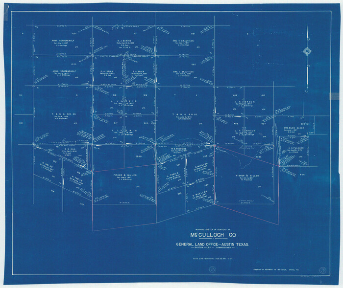
McCulloch County Working Sketch 3
1951
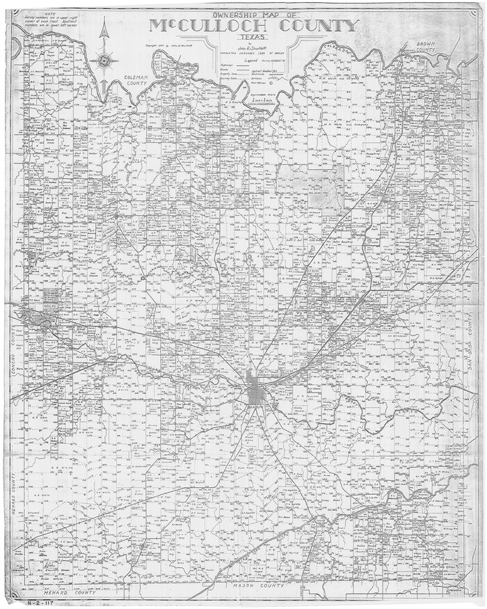
Ownership Map of McCulloch County, Texas
1951

McCulloch County Working Sketch Graphic Index
1949

McCulloch County Working Sketch 19
2010
-
Size
32.6 x 27.0 inches
-
Map/Doc
89260
-
Creation Date
2010

McCulloch County Working Sketch 18
1997
-
Size
42.9 x 32.8 inches
-
Map/Doc
70693
-
Creation Date
1997

McCulloch County Working Sketch 15
1994
-
Size
33.2 x 34.0 inches
-
Map/Doc
70690
-
Creation Date
1994

McCulloch County Sketch File 15, 15a, 15b
1993
-
Size
11.2 x 8.8 inches
-
Map/Doc
31207
-
Creation Date
1993

McCulloch County Rolled Sketch 11
1992
-
Size
46.3 x 40.3 inches
-
Map/Doc
9499
-
Creation Date
1992

McCulloch County Sketch File 14
1990
-
Size
11.2 x 8.7 inches
-
Map/Doc
31203
-
Creation Date
1990

McCulloch County Working Sketch 14
1990
-
Size
15.3 x 29.0 inches
-
Map/Doc
70689
-
Creation Date
1990

McCulloch County Working Sketch 13
1989
-
Size
36.7 x 33.3 inches
-
Map/Doc
70688
-
Creation Date
1989

McCulloch County Sketch File 12
1989
-
Size
14.2 x 8.6 inches
-
Map/Doc
31198
-
Creation Date
1989

San Saba County Working Sketch 9
1983
-
Size
33.8 x 42.8 inches
-
Map/Doc
63797
-
Creation Date
1983

McCulloch County Working Sketch 11
1983
-
Size
35.1 x 43.3 inches
-
Map/Doc
70686
-
Creation Date
1983

McCulloch County Rolled Sketch 8
1982
-
Size
51.3 x 31.4 inches
-
Map/Doc
10292
-
Creation Date
1982

McCulloch County Rolled Sketch 7
1982
-
Size
20.7 x 30.5 inches
-
Map/Doc
6718
-
Creation Date
1982

McCulloch County Working Sketch 12
1982
-
Size
37.5 x 20.1 inches
-
Map/Doc
70687
-
Creation Date
1982

McCulloch County Rolled Sketch 6
1982
-
Size
27.9 x 33.9 inches
-
Map/Doc
6717
-
Creation Date
1982

McCulloch County Sketch File 13
1982
-
Size
3.4 x 7.8 inches
-
Map/Doc
31201
-
Creation Date
1982

McCulloch County Working Sketch 10
1979
-
Size
19.1 x 21.2 inches
-
Map/Doc
70685
-
Creation Date
1979

McCulloch County Working Sketch 9
1978
-
Size
35.6 x 32.7 inches
-
Map/Doc
70684
-
Creation Date
1978

McCulloch County Working Sketch 8
1977
-
Size
22.5 x 19.8 inches
-
Map/Doc
70683
-
Creation Date
1977

McCulloch County Working Sketch 7
1976
-
Size
35.9 x 30.4 inches
-
Map/Doc
70682
-
Creation Date
1976

Concho County Working Sketch 23
1975
-
Size
21.9 x 27.1 inches
-
Map/Doc
68205
-
Creation Date
1975

McCulloch County Working Sketch 6
1961
-
Size
15.2 x 23.9 inches
-
Map/Doc
70681
-
Creation Date
1961

McCulloch County Working Sketch 5
1961
-
Size
21.3 x 19.2 inches
-
Map/Doc
70680
-
Creation Date
1961

Menard County Working Sketch 26
1961
-
Size
28.6 x 36.1 inches
-
Map/Doc
70973
-
Creation Date
1961

General Highway Map, McCulloch County, Texas
1961
-
Size
25.0 x 19.3 inches
-
Map/Doc
79588
-
Creation Date
1961

McCulloch County Working Sketch 4
1956
-
Size
25.3 x 22.8 inches
-
Map/Doc
70679
-
Creation Date
1956

McCulloch County Working Sketch 3
1951
-
Size
30.9 x 36.8 inches
-
Map/Doc
70678
-
Creation Date
1951

Ownership Map of McCulloch County, Texas
1951
-
Size
40.5 x 32.5 inches
-
Map/Doc
3138
-
Creation Date
1951
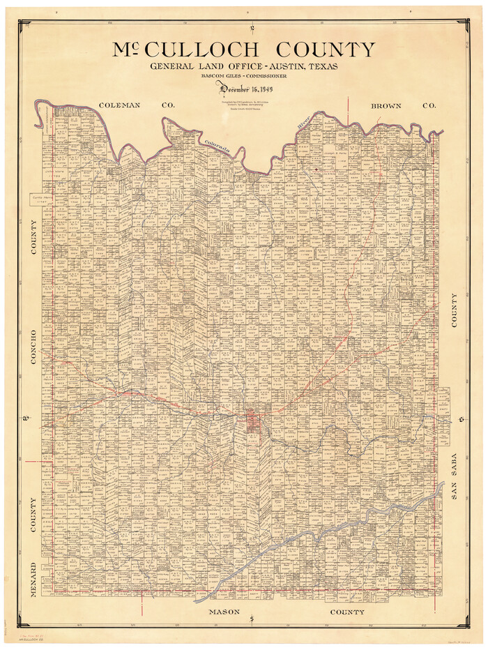
McCulloch County
1949
-
Size
47.0 x 35.8 inches
-
Map/Doc
73234
-
Creation Date
1949

McCulloch County Working Sketch Graphic Index
1949
-
Size
47.3 x 37.4 inches
-
Map/Doc
76636
-
Creation Date
1949