94 results

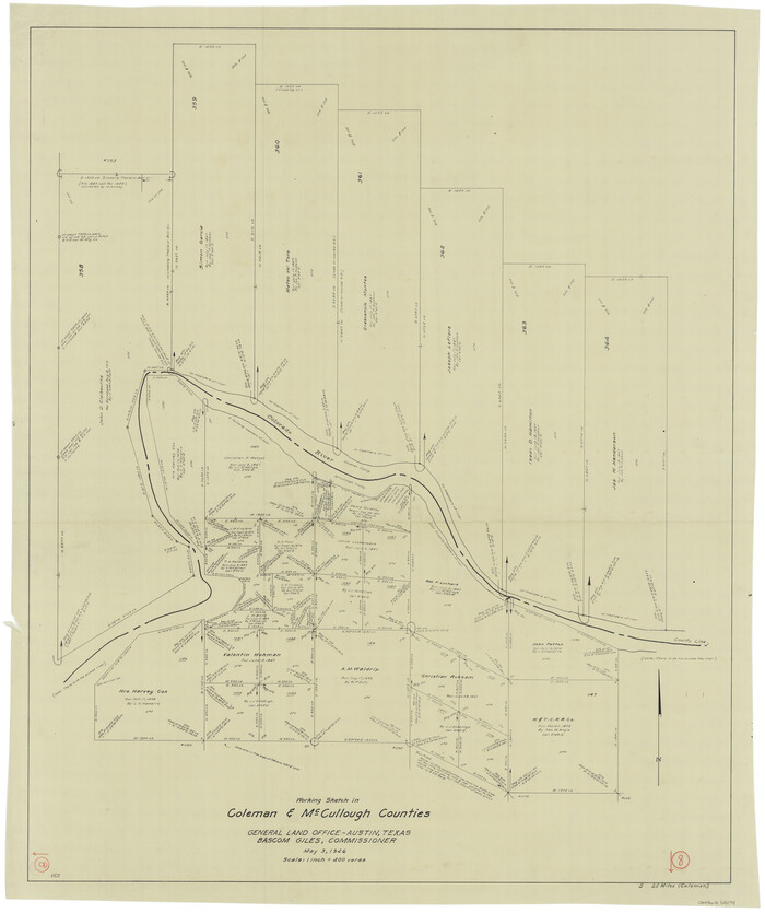
Coleman County Working Sketch 8
68074.tif
Print $20.00 - Digital $50.00

Coleman County Working Sketch 8

1946
Size: 39.3 x 33.3 inches
68074
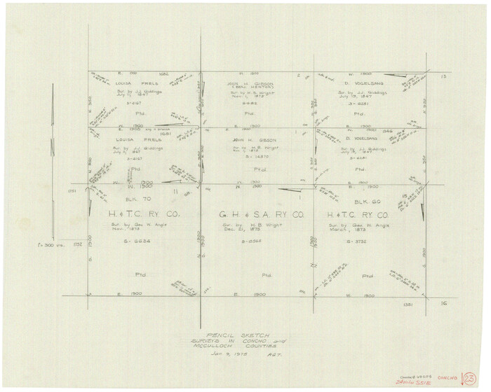
Concho County Working Sketch 23
68205.tif
Print $20.00 - Digital $50.00

Concho County Working Sketch 23

1975

Size: 21.9 x 27.1 inches
68205
FT. W. & R. G. Ry. Right of Way Map, Whiteland to Lightner, Concho County, Texas
61412.tif
Print $40.00 - Digital $50.00

FT. W. & R. G. Ry. Right of Way Map, Whiteland to Lightner, Concho County, Texas

1918
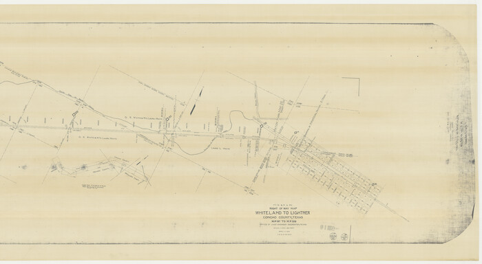
Size: 39.6 x 121.3 inches
61412
FT. W. & R. G. Ry. Right of Way Map, Whiteland to Lightner, Concho County, Texas
61413.tif
Print $40.00 - Digital $50.00

FT. W. & R. G. Ry. Right of Way Map, Whiteland to Lightner, Concho County, Texas

1918

Size: 37.5 x 68.4 inches
61413
FT. W. & R. G. Ry. Right of Way Map, Winchell to Brady, McCulloch County, Texas
61410.tif
Print $40.00 - Digital $50.00

FT. W. & R. G. Ry. Right of Way Map, Winchell to Brady, McCulloch County, Texas

1918

Size: 38.0 x 121.9 inches
61410
FT. W. & R. G. Ry. Right of Way Map, Winchell to Brady, McCulloch County, Texas
61416.tif
Print $20.00 - Digital $50.00

FT. W. & R. G. Ry. Right of Way Map, Winchell to Brady, McCulloch County, Texas

1918
Size: 36.9 x 32.0 inches
61416
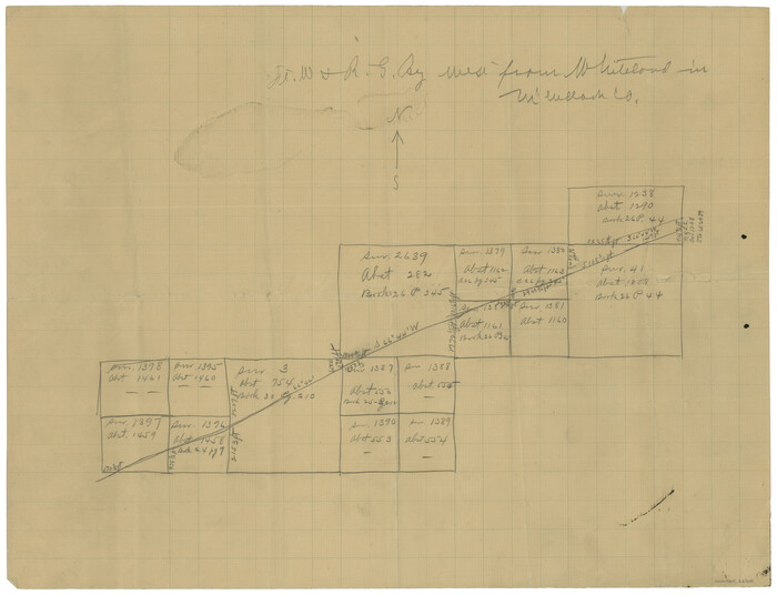
Ft. Worth & Rio Grande Ry. west from Whiteland in McCulloch County
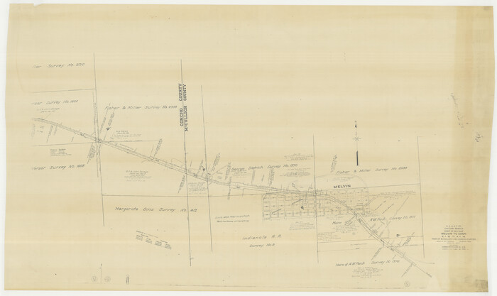
66908-1.tif
Print $20.00 - Digital $50.00

Ft. Worth & Rio Grande Ry. west from Whiteland in McCulloch County

Size: 35.0 x 46.3 inches
66908
G. C. & S. F. Ry., San Saba Branch Right of Way Map, Melvin to Eden
61417.tif
Print $40.00 - Digital $50.00

G. C. & S. F. Ry., San Saba Branch Right of Way Map, Melvin to Eden

1916

Size: 37.6 x 63.1 inches
61417
G. C. & S. F. Ry., San Saba Branch, Right of Way Map, Brady to Melvin
61420.tif
Print $40.00 - Digital $50.00

G. C. & S. F. Ry., San Saba Branch, Right of Way Map, Brady to Melvin

1916
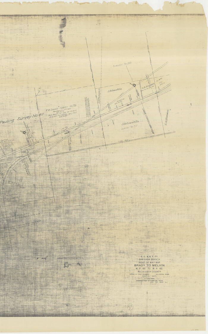
Size: 38.2 x 122.0 inches
61420
G. C. & S. F. Ry., San Saba Branch, Right of Way Map, Brady to Melvin
61422.tif
Print $20.00 - Digital $50.00

G. C. & S. F. Ry., San Saba Branch, Right of Way Map, Brady to Melvin

1916

Size: 36.9 x 23.0 inches
61422
G. C. & S. F. Ry., San Saba Branch, Texas, Right of Way Map, Hall to Brady
61418.tif
Print $40.00 - Digital $50.00

G. C. & S. F. Ry., San Saba Branch, Texas, Right of Way Map, Hall to Brady

1916

Size: 38.9 x 124.3 inches
61418
G. C. & S. F. Ry., San Saba Branch, Texas, Right of Way Map, Hall to Brady
61419.tif
Print $20.00 - Digital $50.00

G. C. & S. F. Ry., San Saba Branch, Texas, Right of Way Map, Hall to Brady

1916

Size: 36.9 x 34.0 inches
61419
General Highway Map, McCulloch County, Texas
79190.tif
Print $20.00

General Highway Map, McCulloch County, Texas

1940

Size: 24.6 x 18.2 inches
79190
General Highway Map, McCulloch County, Texas
79588.tif
Print $20.00

General Highway Map, McCulloch County, Texas

1961
Size: 25.0 x 19.3 inches
79588
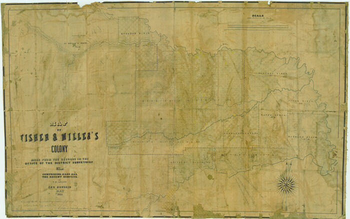
Map of Fisher & Miller's Colony made from the records in the office of the District Surveyor of Bexar comprising also all the recent surveys
633.tif
Print $20.00 - Digital $50.00

Map of Fisher & Miller's Colony made from the records in the office of the District Surveyor of Bexar comprising also all the recent surveys

1855

Size: 22.6 x 36.2 inches
633
Map of Fisher and Miller's Colony made from the records in the Office of the District Surveyor of Bexar comprising also all the recent surveys
1971-CM.tif
Print $20.00 - Digital $50.00

Map of Fisher and Miller's Colony made from the records in the Office of the District Surveyor of Bexar comprising also all the recent surveys

1855

Size: 23.7 x 35.2 inches
1971
Map of Fisher and Miller's Colony made from the records in the Office of the District Surveyor of Bexar comprising also all the recent surveys
82026.tif
Print $20.00 - Digital $50.00

Map of Fisher and Miller's Colony made from the records in the Office of the District Surveyor of Bexar comprising also all the recent surveys

1855

Size: 27.2 x 39.6 inches
82026
Map of McCulloch County
3855-1.tif
Print $20.00 - Digital $50.00

Map of McCulloch County

1858

Size: 26.6 x 22.4 inches
3855
Map of McCulloch County
3857-GC.tif
Print $20.00 - Digital $50.00

Map of McCulloch County

1874

Size: 26.7 x 20.7 inches
3857
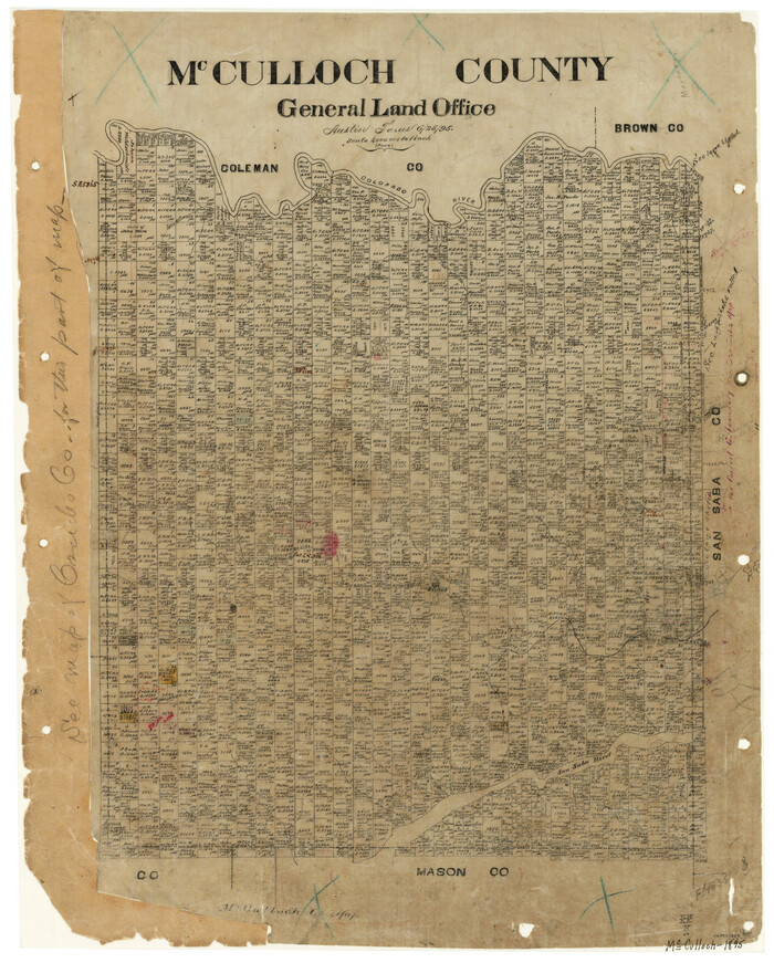
McCulloch County
3854.tif
Print $20.00 - Digital $50.00

McCulloch County

1895

Size: 23.3 x 18.7 inches
3854
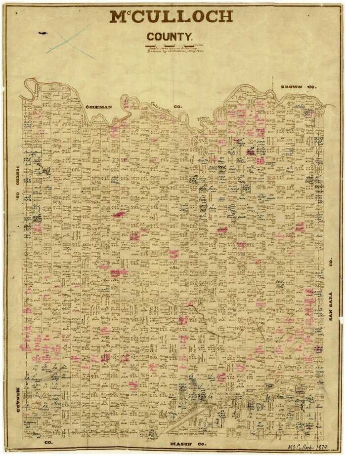
McCulloch County
3856.tif
Print $20.00 - Digital $50.00

McCulloch County

1874

Size: 21.9 x 16.8 inches
3856
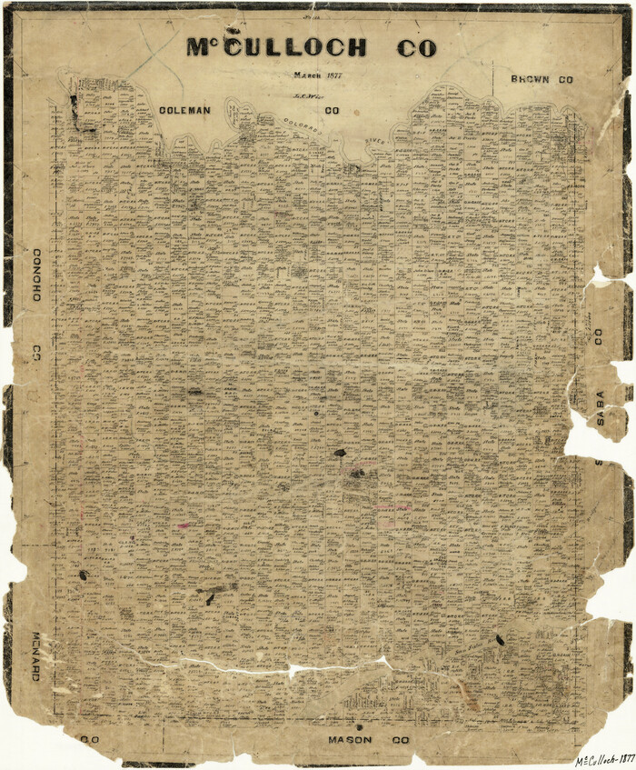
McCulloch County
3858.tif
Print $20.00 - Digital $50.00

McCulloch County

1877

Size: 21.3 x 17.9 inches
3858
McCulloch County
66921.tif
Print $40.00 - Digital $50.00

McCulloch County

1904

Size: 49.2 x 35.5 inches
66921
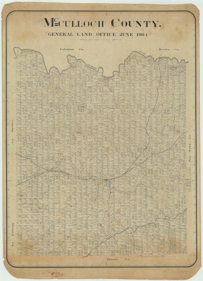
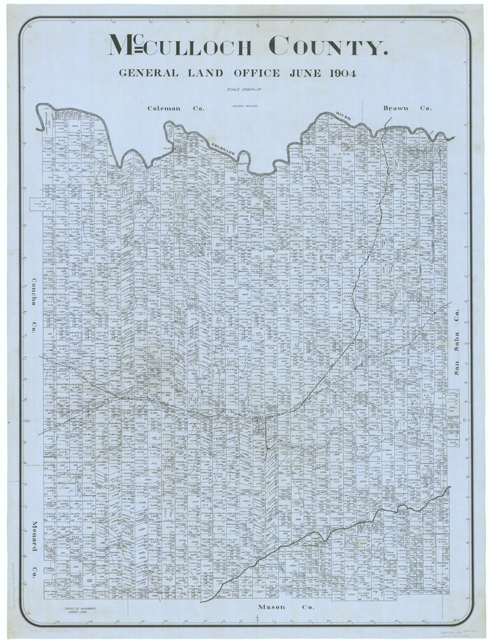
McCulloch County
66922.tif
Print $20.00 - Digital $50.00

McCulloch County

1904

Size: 46.9 x 35.9 inches
66922
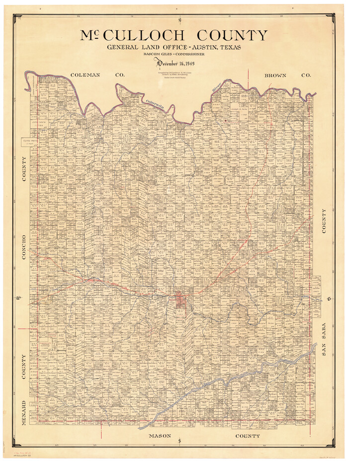
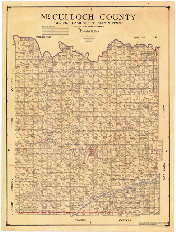
McCulloch County
73234.tif
Print $20.00 - Digital $50.00

McCulloch County

1949

Size: 47.0 x 35.8 inches
73234
McCulloch County
77361.tif
Print $20.00 - Digital $50.00

McCulloch County

1949

Size: 41.0 x 31.1 inches
77361
McCulloch County
7823.tif
Print $40.00 - Digital $50.00

McCulloch County

1904

Size: 50.0 x 37.3 inches
7823
McCulloch County
95584.tif
Print $40.00 - Digital $50.00

McCulloch County

1949

Size: 48.4 x 37.5 inches
95584
McCulloch County Boundary File 1
56906, McCulloch County Boundary File 1, General Map Collection
Print $40.00 - Digital $50.00

McCulloch County Boundary File 1

Size: 9.2 x 33.6 inches
56906
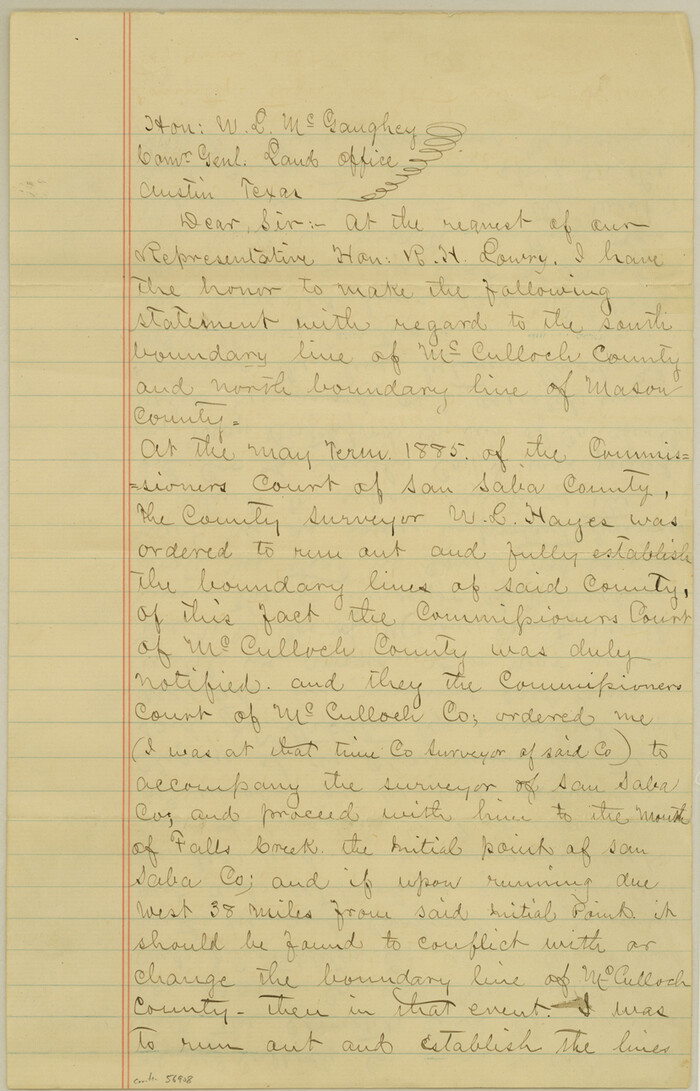
McCulloch County Boundary File 2
56908, McCulloch County Boundary File 2, General Map Collection
Print $6.00 - Digital $50.00

McCulloch County Boundary File 2

Size: 12.9 x 8.3 inches
56908
Coleman County Working Sketch 8
68074, Coleman County Working Sketch 8, General Map Collection
Print $20.00 - Digital $50.00

Coleman County Working Sketch 8

1946

  • Size

    39.3 x 33.3 inches

  • Map/Doc

    68074

  • Creation Date

    1946

Concho County Working Sketch 23
68205, Concho County Working Sketch 23, General Map Collection
Print $20.00 - Digital $50.00

Concho County Working Sketch 23

1975

  • Size

    21.9 x 27.1 inches

  • Map/Doc

    68205

  • Creation Date

    1975

FT. W. & R. G. Ry. Right of Way Map, Whiteland to Lightner, Concho County, Texas
61412, FT. W. & R. G. Ry. Right of Way Map, Whiteland to Lightner, Concho County, Texas, General Map Collection
Print $40.00 - Digital $50.00

FT. W. & R. G. Ry. Right of Way Map, Whiteland to Lightner, Concho County, Texas

1918

  • Size

    39.6 x 121.3 inches

  • Map/Doc

    61412

  • Creation Date

    1918

FT. W. & R. G. Ry. Right of Way Map, Whiteland to Lightner, Concho County, Texas
61413, FT. W. & R. G. Ry. Right of Way Map, Whiteland to Lightner, Concho County, Texas, General Map Collection
Print $40.00 - Digital $50.00

FT. W. & R. G. Ry. Right of Way Map, Whiteland to Lightner, Concho County, Texas

1918

  • Size

    37.5 x 68.4 inches

  • Map/Doc

    61413

  • Creation Date

    1918

FT. W. & R. G. Ry. Right of Way Map, Winchell to Brady, McCulloch County, Texas
61410, FT. W. & R. G. Ry. Right of Way Map, Winchell to Brady, McCulloch County, Texas, General Map Collection
Print $40.00 - Digital $50.00

FT. W. & R. G. Ry. Right of Way Map, Winchell to Brady, McCulloch County, Texas

1918

  • Size

    38.0 x 121.9 inches

  • Map/Doc

    61410

  • Creation Date

    1918

FT. W. & R. G. Ry. Right of Way Map, Winchell to Brady, McCulloch County, Texas
61416, FT. W. & R. G. Ry. Right of Way Map, Winchell to Brady, McCulloch County, Texas, General Map Collection
Print $20.00 - Digital $50.00

FT. W. & R. G. Ry. Right of Way Map, Winchell to Brady, McCulloch County, Texas

1918

  • Size

    36.9 x 32.0 inches

  • Map/Doc

    61416

  • Creation Date

    1918

Ft. Worth & Rio Grande Ry. west from Whiteland in McCulloch County
66908, Ft. Worth & SFRR Co., McCulloch County, Texas, General Map Collection
Print $20.00 - Digital $50.00

Ft. Worth & Rio Grande Ry. west from Whiteland in McCulloch County

  • Size

    35.0 x 46.3 inches

  • Map/Doc

    66908

G. C. & S. F. Ry., San Saba Branch Right of Way Map, Melvin to Eden
61417, G. C. & S. F. Ry., San Saba Branch Right of Way Map, Melvin to Eden, General Map Collection
Print $40.00 - Digital $50.00

G. C. & S. F. Ry., San Saba Branch Right of Way Map, Melvin to Eden

1916

  • Size

    37.6 x 63.1 inches

  • Map/Doc

    61417

  • Creation Date

    1916

G. C. & S. F. Ry., San Saba Branch, Right of Way Map, Brady to Melvin
61420, G. C. & S. F. Ry., San Saba Branch, Right of Way Map, Brady to Melvin, General Map Collection
Print $40.00 - Digital $50.00

G. C. & S. F. Ry., San Saba Branch, Right of Way Map, Brady to Melvin

1916

  • Size

    38.2 x 122.0 inches

  • Map/Doc

    61420

  • Creation Date

    1916

G. C. & S. F. Ry., San Saba Branch, Right of Way Map, Brady to Melvin
61422, G. C. & S. F. Ry., San Saba Branch, Right of Way Map, Brady to Melvin, General Map Collection
Print $20.00 - Digital $50.00

G. C. & S. F. Ry., San Saba Branch, Right of Way Map, Brady to Melvin

1916

  • Size

    36.9 x 23.0 inches

  • Map/Doc

    61422

  • Creation Date

    1916

G. C. & S. F. Ry., San Saba Branch, Texas, Right of Way Map, Hall to Brady
61418, G. C. & S. F. Ry., San Saba Branch, Texas, Right of Way Map, Hall to Brady, General Map Collection
Print $40.00 - Digital $50.00

G. C. & S. F. Ry., San Saba Branch, Texas, Right of Way Map, Hall to Brady

1916

  • Size

    38.9 x 124.3 inches

  • Map/Doc

    61418

  • Creation Date

    1916

G. C. & S. F. Ry., San Saba Branch, Texas, Right of Way Map, Hall to Brady
61419, G. C. & S. F. Ry., San Saba Branch, Texas, Right of Way Map, Hall to Brady, General Map Collection
Print $20.00 - Digital $50.00

G. C. & S. F. Ry., San Saba Branch, Texas, Right of Way Map, Hall to Brady

1916

  • Size

    36.9 x 34.0 inches

  • Map/Doc

    61419

  • Creation Date

    1916

General Highway Map, McCulloch County, Texas
79190, General Highway Map, McCulloch County, Texas, Texas State Library and Archives
Print $20.00

General Highway Map, McCulloch County, Texas

1940

  • Size

    24.6 x 18.2 inches

  • Map/Doc

    79190

  • Creation Date

    1940

General Highway Map, McCulloch County, Texas
79588, General Highway Map, McCulloch County, Texas, Texas State Library and Archives
Print $20.00

General Highway Map, McCulloch County, Texas

1961

  • Size

    25.0 x 19.3 inches

  • Map/Doc

    79588

  • Creation Date

    1961

Map of Fisher & Miller's Colony made from the records in the office of the District Surveyor of Bexar comprising also all the recent surveys
633, Map of Fisher & Miller's Colony made from the records in the office of the District Surveyor of Bexar comprising also all the recent surveys, Maddox Collection
Print $20.00 - Digital $50.00

Map of Fisher & Miller's Colony made from the records in the office of the District Surveyor of Bexar comprising also all the recent surveys

1855

  • Size

    22.6 x 36.2 inches

  • Map/Doc

    633

  • Creation Date

    1855

Map of Fisher and Miller's Colony made from the records in the Office of the District Surveyor of Bexar comprising also all the recent surveys
1971, Map of Fisher and Miller's Colony made from the records in the Office of the District Surveyor of Bexar comprising also all the recent surveys, General Map Collection
Print $20.00 - Digital $50.00

Map of Fisher and Miller's Colony made from the records in the Office of the District Surveyor of Bexar comprising also all the recent surveys

1855

  • Size

    23.7 x 35.2 inches

  • Map/Doc

    1971

  • Creation Date

    1855

Map of Fisher and Miller's Colony made from the records in the Office of the District Surveyor of Bexar comprising also all the recent surveys
82026, Map of Fisher and Miller's Colony made from the records in the Office of the District Surveyor of Bexar comprising also all the recent surveys, General Map Collection
Print $20.00 - Digital $50.00

Map of Fisher and Miller's Colony made from the records in the Office of the District Surveyor of Bexar comprising also all the recent surveys

1855

  • Size

    27.2 x 39.6 inches

  • Map/Doc

    82026

  • Creation Date

    1855

Map of McCulloch County
3855, Map of McCulloch County, General Map Collection
Print $20.00 - Digital $50.00

Map of McCulloch County

1858

  • Size

    26.6 x 22.4 inches

  • Map/Doc

    3855

  • Creation Date

    1858

Map of McCulloch County
3857, Map of McCulloch County, General Map Collection
Print $20.00 - Digital $50.00

Map of McCulloch County

1874

  • Size

    26.7 x 20.7 inches

  • Map/Doc

    3857

  • Creation Date

    1874

McCulloch County
3854, McCulloch County, General Map Collection
Print $20.00 - Digital $50.00

McCulloch County

1895

  • Size

    23.3 x 18.7 inches

  • Map/Doc

    3854

  • Creation Date

    1895

McCulloch County
3856, McCulloch County, General Map Collection
Print $20.00 - Digital $50.00

McCulloch County

1874

  • Size

    21.9 x 16.8 inches

  • Map/Doc

    3856

  • Creation Date

    1874

McCulloch County
3858, McCulloch County, General Map Collection
Print $20.00 - Digital $50.00

McCulloch County

1877

  • Size

    21.3 x 17.9 inches

  • Map/Doc

    3858

  • Creation Date

    1877

McCulloch County
66921, McCulloch County, General Map Collection
Print $40.00 - Digital $50.00

McCulloch County

1904

  • Size

    49.2 x 35.5 inches

  • Map/Doc

    66921

  • Creation Date

    1904

McCulloch County
66922, McCulloch County, General Map Collection
Print $20.00 - Digital $50.00

McCulloch County

1904

  • Size

    46.9 x 35.9 inches

  • Map/Doc

    66922

  • Creation Date

    1904

McCulloch County
73234, McCulloch County, General Map Collection
Print $20.00 - Digital $50.00

McCulloch County

1949

  • Size

    47.0 x 35.8 inches

  • Map/Doc

    73234

  • Creation Date

    1949

McCulloch County
77361, McCulloch County, General Map Collection
Print $20.00 - Digital $50.00

McCulloch County

1949

  • Size

    41.0 x 31.1 inches

  • Map/Doc

    77361

  • Creation Date

    1949

McCulloch County
7823, McCulloch County, General Map Collection
Print $40.00 - Digital $50.00

McCulloch County

1904

  • Size

    50.0 x 37.3 inches

  • Map/Doc

    7823

  • Creation Date

    1904

McCulloch County
95584, McCulloch County, General Map Collection
Print $40.00 - Digital $50.00

McCulloch County

1949

  • Size

    48.4 x 37.5 inches

  • Map/Doc

    95584

  • Creation Date

    1949

McCulloch County Boundary File 1
56906, McCulloch County Boundary File 1, General Map Collection
Print $40.00 - Digital $50.00

McCulloch County Boundary File 1

  • Size

    9.2 x 33.6 inches

  • Map/Doc

    56906

McCulloch County Boundary File 2
56908, McCulloch County Boundary File 2, General Map Collection
Print $6.00 - Digital $50.00

McCulloch County Boundary File 2

  • Size

    12.9 x 8.3 inches

  • Map/Doc

    56908