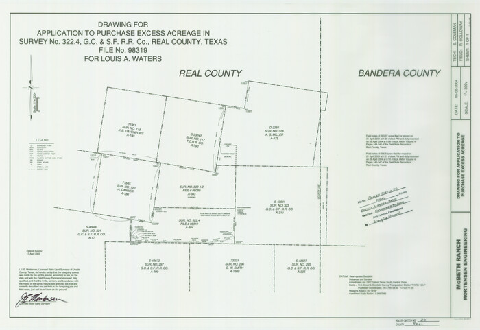
Real County Rolled Sketch 20
2004

Real County Working Sketch 91
1996

Real County Working Sketch 90
1991

Bandera County Working Sketch 57
1991
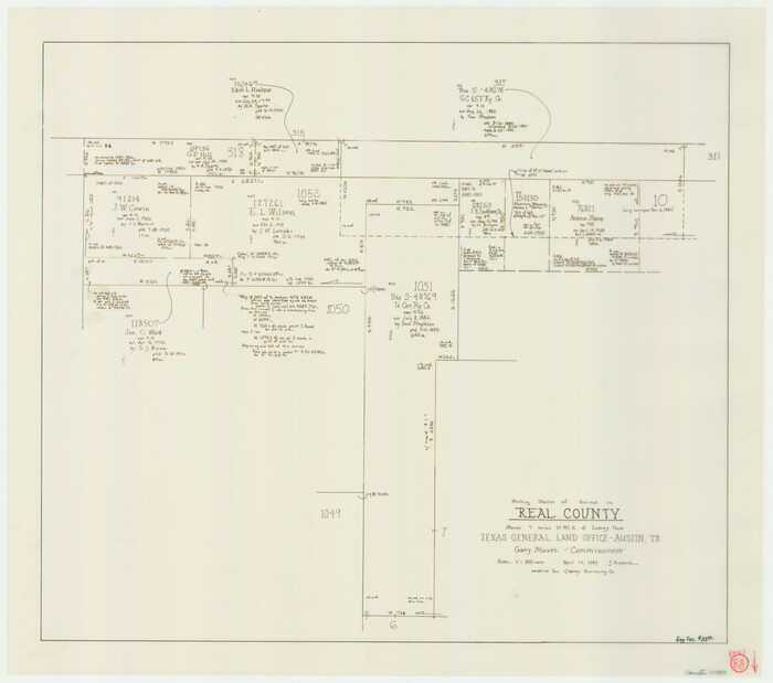
Real County Working Sketch 88
1989
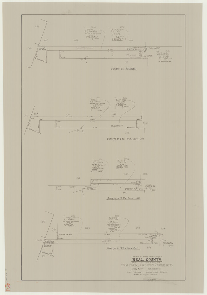
Real County Working Sketch 86
1988

Real County Working Sketch 85
1988

Real County Working Sketch 87
1988
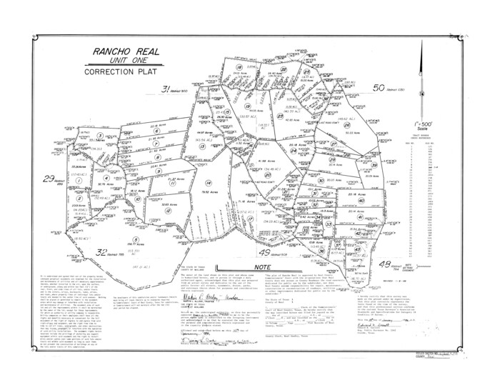
Real County Rolled Sketch 18
1986
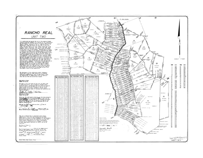
Real County Rolled Sketch 18
1986

Real County Working Sketch 84
1986
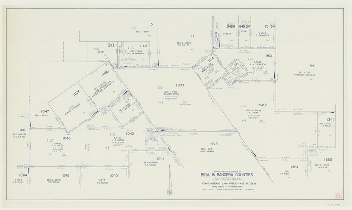
Real County Working Sketch 83
1986

Real County Working Sketch 82
1985
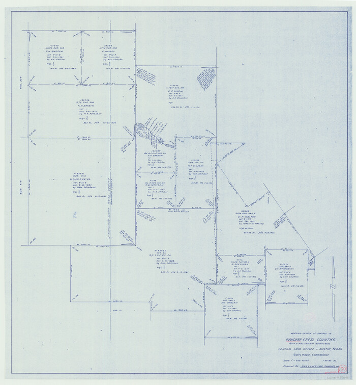
Bandera County Working Sketch 50
1985

Real County Working Sketch 81
1984
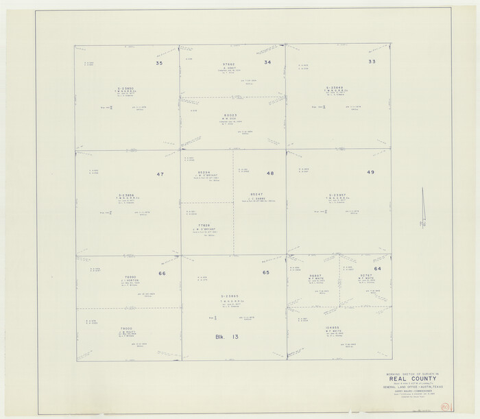
Real County Working Sketch 80
1984
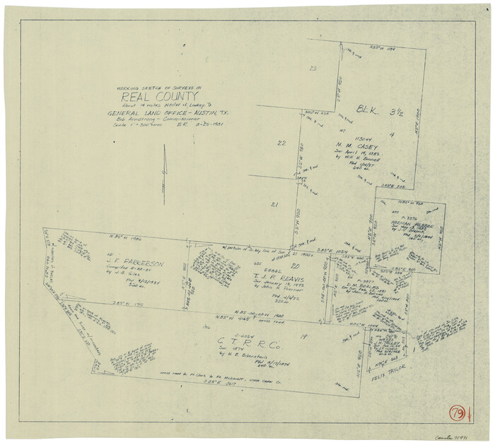
Real County Working Sketch 79
1981
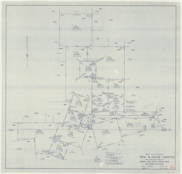
Real County Working Sketch 78
1980

Real County Working Sketch 77
1980
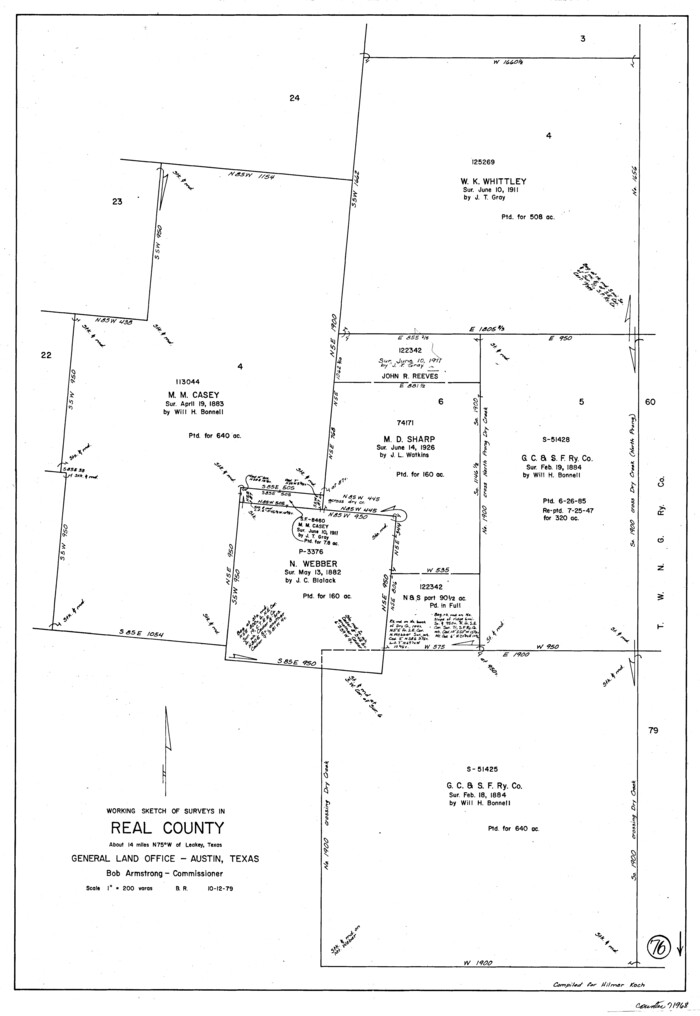
Real County Working Sketch 76
1979

Real County Working Sketch 75
1979

Real County Working Sketch 74
1979
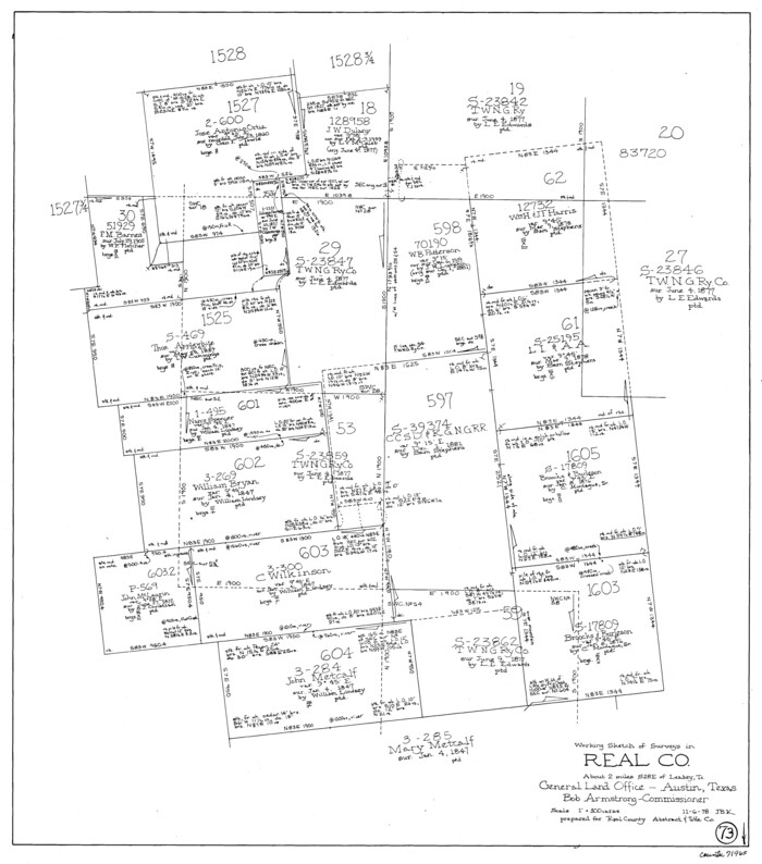
Real County Working Sketch 73
1978

Real County Working Sketch 72
1976
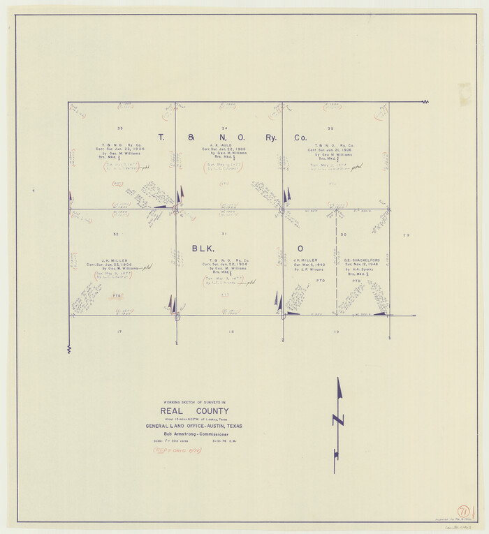
Real County Working Sketch 71
1976
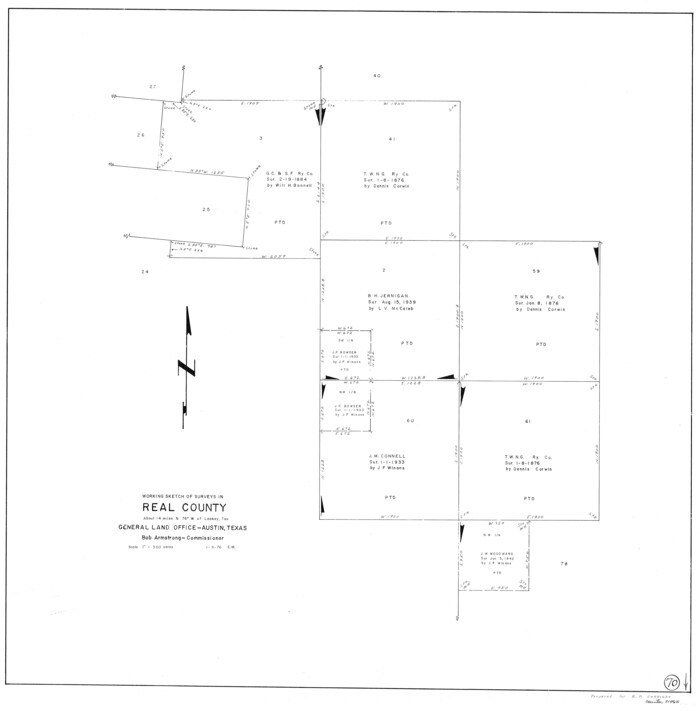
Real County Working Sketch 70
1976
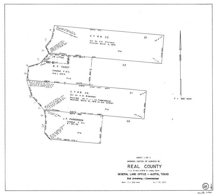
Real County Working Sketch 68
1973
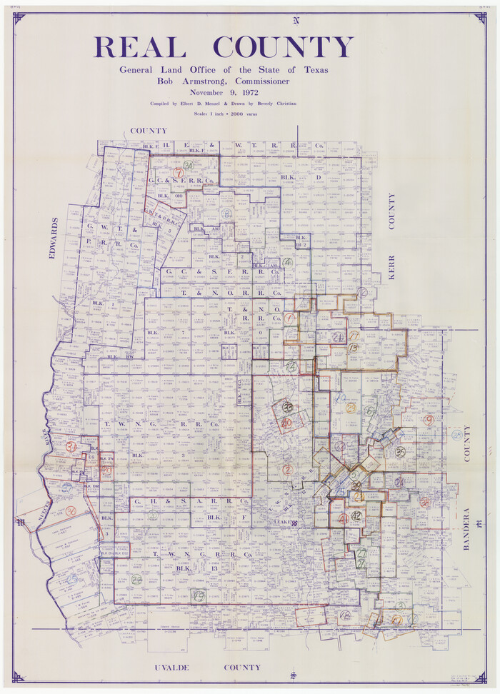
Real County Working Sketch Graphic Index, Sheet 1 (Sketches 1 to 42)
1972

Texas Hill Country Trail Region
2017
-
Size
18.2 x 24.3 inches
-
Map/Doc
96871
-
Creation Date
2017

Real County Rolled Sketch 20
2004
-
Size
24.6 x 35.8 inches
-
Map/Doc
82573
-
Creation Date
2004

Real County Working Sketch 91
1996
-
Size
22.0 x 20.0 inches
-
Map/Doc
71983
-
Creation Date
1996

Real County Working Sketch 90
1991
-
Size
16.7 x 22.8 inches
-
Map/Doc
71982
-
Creation Date
1991

Bandera County Working Sketch 57
1991
-
Size
38.5 x 46.8 inches
-
Map/Doc
67653
-
Creation Date
1991

Real County Working Sketch 88
1989
-
Size
23.9 x 27.0 inches
-
Map/Doc
71980
-
Creation Date
1989

Real County Working Sketch 86
1988
-
Size
37.8 x 26.6 inches
-
Map/Doc
71978
-
Creation Date
1988

Real County Working Sketch 85
1988
-
Size
27.0 x 30.0 inches
-
Map/Doc
71977
-
Creation Date
1988

Real County Working Sketch 87
1988
-
Size
30.9 x 29.6 inches
-
Map/Doc
71979
-
Creation Date
1988

Real County Rolled Sketch 18
1986
-
Size
24.9 x 31.9 inches
-
Map/Doc
7468
-
Creation Date
1986

Real County Rolled Sketch 18
1986
-
Size
25.3 x 32.5 inches
-
Map/Doc
7469
-
Creation Date
1986

Real County Working Sketch 84
1986
-
Size
25.0 x 40.7 inches
-
Map/Doc
71976
-
Creation Date
1986

Real County Working Sketch 83
1986
-
Size
25.7 x 43.0 inches
-
Map/Doc
71975
-
Creation Date
1986

Real County Working Sketch 82
1985
-
Size
24.9 x 23.5 inches
-
Map/Doc
71974
-
Creation Date
1985

Bandera County Working Sketch 50
1985
-
Size
34.1 x 31.6 inches
-
Map/Doc
67646
-
Creation Date
1985

Real County Working Sketch 81
1984
-
Size
19.9 x 17.1 inches
-
Map/Doc
71973
-
Creation Date
1984

Real County Working Sketch 80
1984
-
Size
37.9 x 43.3 inches
-
Map/Doc
71972
-
Creation Date
1984

Real County Working Sketch 79
1981
-
Size
19.8 x 22.2 inches
-
Map/Doc
71971
-
Creation Date
1981

Real County Working Sketch 78
1980
-
Size
33.9 x 35.5 inches
-
Map/Doc
71970
-
Creation Date
1980

Real County Working Sketch 77
1980
-
Size
33.1 x 33.3 inches
-
Map/Doc
71969
-
Creation Date
1980

Real County Working Sketch 76
1979
-
Size
30.6 x 21.1 inches
-
Map/Doc
71968
-
Creation Date
1979

Real County Working Sketch 75
1979
-
Size
29.0 x 28.6 inches
-
Map/Doc
71967
-
Creation Date
1979

Real County Working Sketch 74
1979
-
Size
17.1 x 23.5 inches
-
Map/Doc
71966
-
Creation Date
1979

Real County Working Sketch 73
1978
-
Size
28.2 x 24.9 inches
-
Map/Doc
71965
-
Creation Date
1978

Real County Working Sketch 72
1976
-
Size
47.3 x 43.3 inches
-
Map/Doc
71964
-
Creation Date
1976

Real County Working Sketch 71
1976
-
Size
31.8 x 29.1 inches
-
Map/Doc
71963
-
Creation Date
1976

Real County Working Sketch 70
1976
-
Size
32.3 x 31.8 inches
-
Map/Doc
71962
-
Creation Date
1976

Real County Working Sketch 68
1973
-
Size
21.9 x 24.4 inches
-
Map/Doc
71960
-
Creation Date
1973

Real County
1972
-
Size
44.4 x 32.1 inches
-
Map/Doc
73271
-
Creation Date
1972

Real County Working Sketch Graphic Index, Sheet 1 (Sketches 1 to 42)
1972
-
Size
42.9 x 31.0 inches
-
Map/Doc
76678
-
Creation Date
1972