A Pocket Guide to Austin, Texas - Area Map and Downtown Map

A Pocket Guide to Austin, Texas - Area Map and Downtown Map
Size: 17.0 x 20.1 inches
94385
A Pocket Guide to Austin, Texas - Area Map and Downtown Map

A Pocket Guide to Austin, Texas - Area Map and Downtown Map
Size: 17.2 x 20.2 inches
94386
A Topographical Map of The Government Tract Adjoining the City of Austin

Print $20.00
- Digital $50.00
A Topographical Map of The Government Tract Adjoining the City of Austin
1840
Size: 44.5 x 36.0 inches
82031
A Topographical Map of the City of Austin

Print $20.00
- Digital $50.00
A Topographical Map of the City of Austin
1872
Size: 21.0 x 14.7 inches
4821
A Topographical Map of the City of Austin

Print $20.00
- Digital $50.00
A Topographical Map of the City of Austin
1872
Size: 20.6 x 15.1 inches
93685
A Topographical Map of the Government Tract Adjoining the City of Austin

Print $20.00
- Digital $50.00
A Topographical Map of the Government Tract Adjoining the City of Austin
1840
Size: 40.7 x 36.1 inches
2177
A Topographical Map of the Government Tract Adjoining the City of Austin

Print $20.00
- Digital $50.00
A Topographical Map of the Government Tract Adjoining the City of Austin
1840
Size: 44.1 x 38.4 inches
2178
A Topographical Map of the Government Tract Adjoining the City of Austin

Print $20.00
- Digital $50.00
A Topographical Map of the Government Tract Adjoining the City of Austin
1840
Size: 41.8 x 37.5 inches
4833
A Topographical Map of the Government Tract Adjoining the City of Austin

Print $20.00
- Digital $50.00
A Topographical Map of the Government Tract Adjoining the City of Austin
1840
Size: 41.9 x 37.4 inches
4842
A Topographical Map of the Government Tract adjoining the City of Austin

Print $20.00
- Digital $50.00
A Topographical Map of the Government Tract adjoining the City of Austin
1840
Size: 41.9 x 37.8 inches
2180


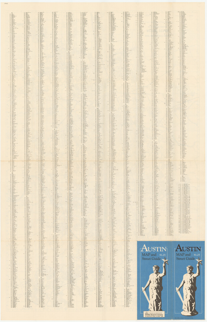
Austin Map and Street Guide [Recto]

Austin Map and Street Guide [Recto]
1976
Size: 35.4 x 22.7 inches
94162
Austin Map and Street Guide [Verso]
Austin Map and Street Guide [Verso]
1986
Size: 35.5 x 22.8 inches
94163
Austin Old and New, a Mapguide to the Heart of the City including Capitol Complex & Government Buildings, Downtown Streets and Buildings, the University of Texas, Historical Sites, Parks & Trails, Sixth Street, Town Lake, Museums

Austin Old and New, a Mapguide to the Heart of the City including Capitol Complex & Government Buildings, Downtown Streets and Buildings, the University of Texas, Historical Sites, Parks & Trails, Sixth Street, Town Lake, Museums
Size: 25.4 x 31.3 inches
94379
Austin Old and New, a Mapguide to the Heart of the City including Capitol Complex & Government Buildings, Downtown Streets and Buildings, the University of Texas, Historical Sites, Parks & Trails, Sixth Street, Town Lake, Museums

Austin Old and New, a Mapguide to the Heart of the City including Capitol Complex & Government Buildings, Downtown Streets and Buildings, the University of Texas, Historical Sites, Parks & Trails, Sixth Street, Town Lake, Museums
Size: 25.4 x 31.2 inches
94380
Austin Street Map & Guide

Digital $50.00
Austin Street Map & Guide
1999
Size: 35.4 x 23.2 inches
94094
Austin Street Map & Guide

Digital $50.00
Austin Street Map & Guide
1999
Size: 35.4 x 23.2 inches
94095


Austin and Surrounding Properties
.tif.jpg)
Print $20.00
- Digital $50.00
Austin and Surrounding Properties
1891
Size: 42.9 x 32.1 inches
421
A Pocket Guide to Austin, Texas - Area Map and Downtown Map
A Pocket Guide to Austin, Texas - Area Map and Downtown Map
-
Size
17.0 x 20.1 inches
-
Map/Doc
94385
A Pocket Guide to Austin, Texas - Area Map and Downtown Map
A Pocket Guide to Austin, Texas - Area Map and Downtown Map
-
Size
17.2 x 20.2 inches
-
Map/Doc
94386
A Topographical Map of The Government Tract Adjoining the City of Austin
Print $20.00
- Digital $50.00
A Topographical Map of The Government Tract Adjoining the City of Austin
1840
-
Size
44.5 x 36.0 inches
-
Map/Doc
82031
-
Creation Date
1840
A Topographical Map of the City of Austin
Print $20.00
- Digital $50.00
A Topographical Map of the City of Austin
1872
-
Size
21.0 x 14.7 inches
-
Map/Doc
4821
-
Creation Date
1872
A Topographical Map of the City of Austin
Print $20.00
- Digital $50.00
A Topographical Map of the City of Austin
1872
-
Size
20.6 x 15.1 inches
-
Map/Doc
93685
-
Creation Date
1872
A Topographical Map of the Government Tract Adjoining the City of Austin
Print $20.00
- Digital $50.00
A Topographical Map of the Government Tract Adjoining the City of Austin
1840
-
Size
40.7 x 36.1 inches
-
Map/Doc
2177
-
Creation Date
1840
A Topographical Map of the Government Tract Adjoining the City of Austin
Print $20.00
- Digital $50.00
A Topographical Map of the Government Tract Adjoining the City of Austin
1840
-
Size
44.1 x 38.4 inches
-
Map/Doc
2178
-
Creation Date
1840
A Topographical Map of the Government Tract Adjoining the City of Austin
Print $20.00
- Digital $50.00
A Topographical Map of the Government Tract Adjoining the City of Austin
1840
-
Size
41.8 x 37.5 inches
-
Map/Doc
4833
-
Creation Date
1840
A Topographical Map of the Government Tract Adjoining the City of Austin
Print $20.00
- Digital $50.00
A Topographical Map of the Government Tract Adjoining the City of Austin
1840
-
Size
41.9 x 37.4 inches
-
Map/Doc
4842
-
Creation Date
1840
A Topographical Map of the Government Tract adjoining the City of Austin
Print $20.00
- Digital $50.00
A Topographical Map of the Government Tract adjoining the City of Austin
1840
-
Size
41.9 x 37.8 inches
-
Map/Doc
2180
-
Creation Date
1840
Austin Map and Street Guide [Recto]
Austin Map and Street Guide [Recto]
1976
-
Size
35.4 x 22.7 inches
-
Map/Doc
94162
-
Creation Date
1976
Austin Map and Street Guide [Verso]
Austin Map and Street Guide [Verso]
1986
-
Size
35.5 x 22.8 inches
-
Map/Doc
94163
-
Creation Date
1986
Austin Old and New, a Mapguide to the Heart of the City including Capitol Complex & Government Buildings, Downtown Streets and Buildings, the University of Texas, Historical Sites, Parks & Trails, Sixth Street, Town Lake, Museums
Austin Old and New, a Mapguide to the Heart of the City including Capitol Complex & Government Buildings, Downtown Streets and Buildings, the University of Texas, Historical Sites, Parks & Trails, Sixth Street, Town Lake, Museums
-
Size
25.4 x 31.3 inches
-
Map/Doc
94379
Austin Old and New, a Mapguide to the Heart of the City including Capitol Complex & Government Buildings, Downtown Streets and Buildings, the University of Texas, Historical Sites, Parks & Trails, Sixth Street, Town Lake, Museums
Austin Old and New, a Mapguide to the Heart of the City including Capitol Complex & Government Buildings, Downtown Streets and Buildings, the University of Texas, Historical Sites, Parks & Trails, Sixth Street, Town Lake, Museums
-
Size
25.4 x 31.2 inches
-
Map/Doc
94380
Austin Street Map & Guide
Digital $50.00
Austin Street Map & Guide
1999
-
Size
35.4 x 23.2 inches
-
Map/Doc
94094
-
Creation Date
1999
Austin Street Map & Guide
Digital $50.00
Austin Street Map & Guide
1999
-
Size
35.4 x 23.2 inches
-
Map/Doc
94095
-
Creation Date
1999
Austin Street Map & Guide

Digital $50.00
Austin Street Map & Guide
-
Size
35.3 x 23.2 inches
-
Map/Doc
94434
Austin Street Map & Guide

Digital $50.00
Austin Street Map & Guide
-
Size
35.4 x 23.1 inches
-
Map/Doc
94435
Austin Street Map [Recto]
![94158, Austin Street Map [Recto], General Map Collection](https://historictexasmaps.com/wmedia_w700/maps/94158.tif.jpg)
Austin Street Map [Recto]
1965
-
Size
23.1 x 18.2 inches
-
Map/Doc
94158
-
Creation Date
1965
Austin Street Map [Verso]
![94159, Austin Street Map [Verso], General Map Collection](https://historictexasmaps.com/wmedia_w700/maps/94159.tif.jpg)
Austin Street Map [Verso]
1965
-
Size
18.2 x 23.1 inches
-
Map/Doc
94159
-
Creation Date
1965
Austin and Surrounding Properties
Print $20.00
- Digital $50.00
Austin and Surrounding Properties
1891
-
Size
42.9 x 32.1 inches
-
Map/Doc
421
-
Creation Date
1891
Austin and Vicinity [Recto]
![94160, Austin and Vicinity [Recto], General Map Collection](https://historictexasmaps.com/wmedia_w700/maps/94160.tif.jpg)
Austin and Vicinity [Recto]
1959
-
Size
24.3 x 18.2 inches
-
Map/Doc
94160
-
Creation Date
1959