Atlas T - Titles to Frontier Settlers issued by the Commissioner Carlos S. Taylor


Atlas T - Titles to Frontier Settlers issued by the Commissioner Carlos S. Taylor
1834
94536
English Field Notes of the Spanish Archives - Book 4 & W


English Field Notes of the Spanish Archives - Book 4 & W
1836
96530
English Field Notes of the Spanish Archives - Book J. Strode


English Field Notes of the Spanish Archives - Book J. Strode
1835
96549
English Field Notes of the Spanish Archives - Books J.S.2, 3, and 4

English Field Notes of the Spanish Archives - Books J.S.2, 3, and 4
1835
96550
English Field Notes of the Spanish Archives - Books JMH, MCMCHB, TGI


English Field Notes of the Spanish Archives - Books JMH, MCMCHB, TGI
1835
96547
English Field Notes of the Spanish Archives - Books SAS, DB4, GWS, JWB, and JWB3


English Field Notes of the Spanish Archives - Books SAS, DB4, GWS, JWB, and JWB3
1835
96551
English Field Notes of the Spanish Archives - Books TJG, DB, A, A2, B, B2, WB, and WR


English Field Notes of the Spanish Archives - Books TJG, DB, A, A2, B, B2, WB, and WR
1835
96553
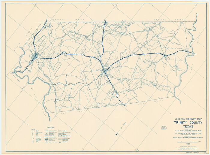
General Highway Map, Trinity County, Texas

Print $20.00
General Highway Map, Trinity County, Texas
1940
Size: 18.4 x 24.9 inches
79263
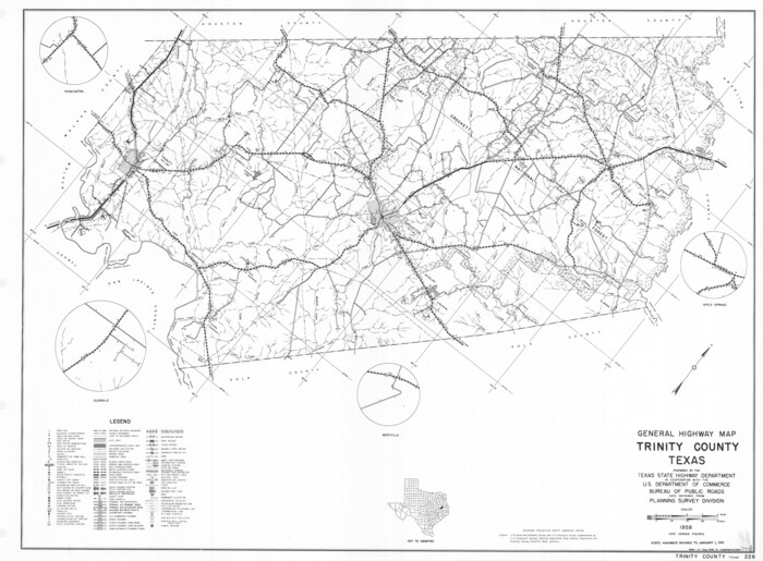
General Highway Map, Trinity County, Texas

Print $20.00
General Highway Map, Trinity County, Texas
1961
Size: 18.1 x 24.5 inches
79688
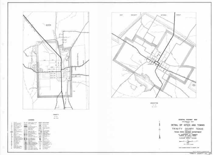
General Highway Map. Detail of Cities and Towns in Trinity County, Texas [Groveton and Trinity and vicinities]

Print $20.00
General Highway Map. Detail of Cities and Towns in Trinity County, Texas [Groveton and Trinity and vicinities]
1961
Size: 18.1 x 24.8 inches
79689
Houston County Sketch File 22
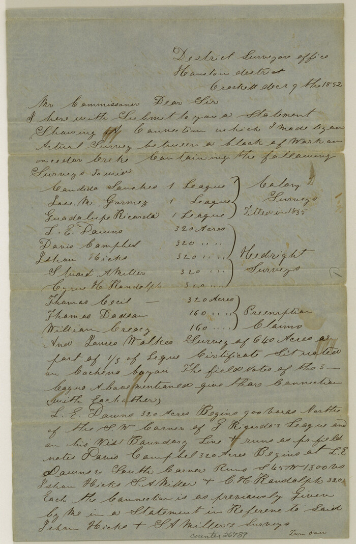

Print $8.00
- Digital $50.00
Houston County Sketch File 22
1852
Size: 12.6 x 8.2 inches
26789
Houston County Sketch File 23
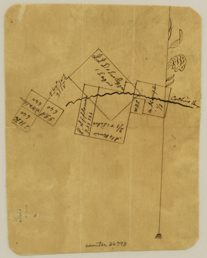

Print $6.00
- Digital $50.00
Houston County Sketch File 23
1852
Size: 6.5 x 5.2 inches
26793
Houston County Sketch File 28
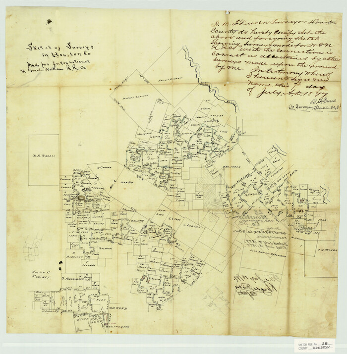

Print $20.00
- Digital $50.00
Houston County Sketch File 28
1877
Size: 21.8 x 21.3 inches
11789
Houston County Sketch File 32
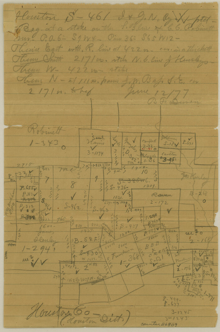

Print $4.00
- Digital $50.00
Houston County Sketch File 32
1877
Size: 10.8 x 7.1 inches
26809
Houston County Sketch File 5a


Print $5.00
- Digital $50.00
Houston County Sketch File 5a
Size: 8.5 x 9.4 inches
26758
Map of Trinity Co.
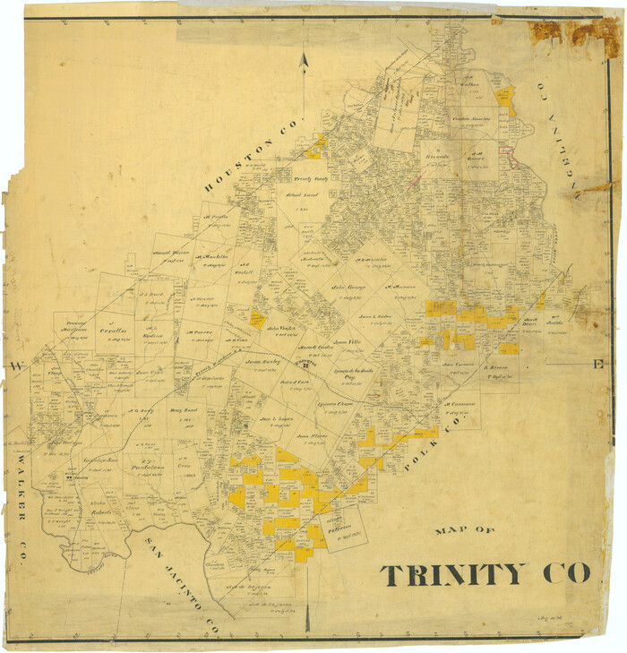

Print $20.00
- Digital $50.00
Map of Trinity Co.
1896
Size: 40.7 x 39.1 inches
63079
Map of Trinity Co.
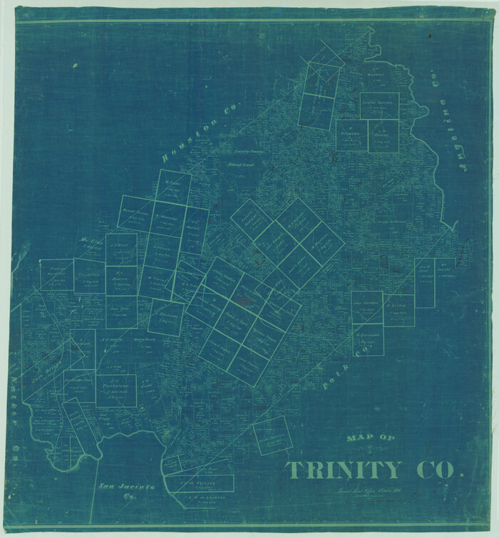

Print $20.00
- Digital $50.00
Map of Trinity Co.
1896
Size: 41.3 x 38.3 inches
78446
Map of Trinity County
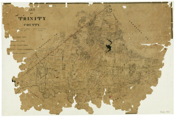

Print $20.00
- Digital $50.00
Map of Trinity County
1862
Size: 21.0 x 31.3 inches
4096
Map of Trinity County
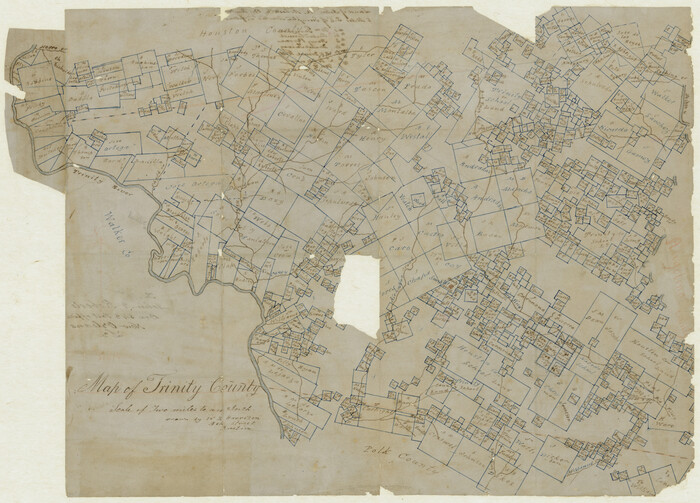

Print $20.00
- Digital $50.00
Map of Trinity County
Size: 17.8 x 24.8 inches
760
Map of Trinity County Texas


Print $20.00
- Digital $50.00
Map of Trinity County Texas
1859
Size: 21.5 x 30.6 inches
4095
Map of the Houston & Great Northern Railroad


Print $40.00
- Digital $50.00
Map of the Houston & Great Northern Railroad
1871
Size: 29.3 x 122.1 inches
64551
Map of the Houston and Great Northern R.R. from Trinity River to Palestine


Print $40.00
- Digital $50.00
Map of the Houston and Great Northern R.R. from Trinity River to Palestine
1872
Size: 30.3 x 119.9 inches
64549
Map showing location of Texas Prison Farms surveyed for the Texas Prison System


Print $20.00
- Digital $50.00
Map showing location of Texas Prison Farms surveyed for the Texas Prison System
1934
Size: 15.6 x 12.3 inches
94277
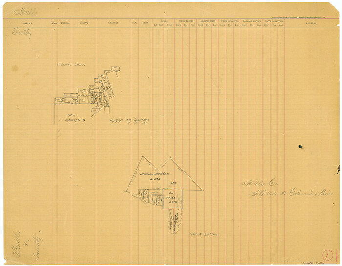
Mills County Working Sketch 1

Print $20.00
- Digital $50.00
Mills County Working Sketch 1
Size: 18.2 x 23.4 inches
71031
Neches River, Watershed of the Neches River


Print $6.00
- Digital $50.00
Neches River, Watershed of the Neches River
1925
Size: 34.6 x 28.3 inches
65085
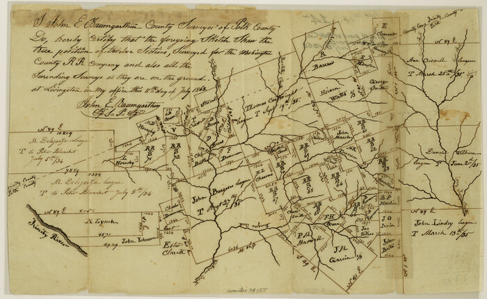
Polk County Sketch File 14a

Print $4.00
- Digital $50.00
Polk County Sketch File 14a
1863
Size: 9.0 x 14.6 inches
34155
Polk County Sketch File 26a


Print $10.00
- Digital $50.00
Polk County Sketch File 26a
1878
Size: 14.2 x 8.7 inches
34189
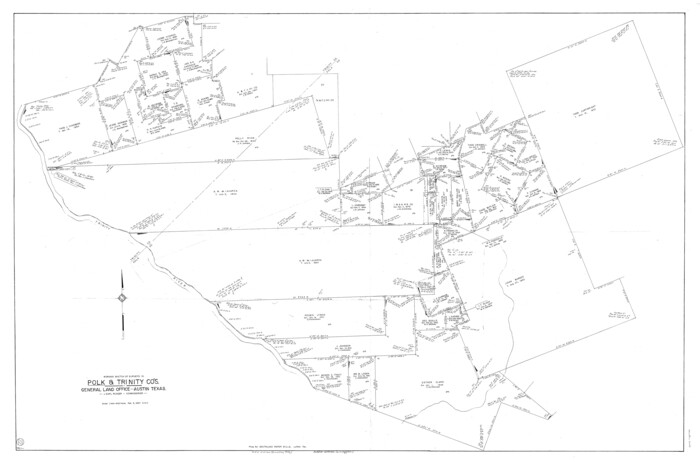
Polk County Working Sketch 22

Print $40.00
- Digital $50.00
Polk County Working Sketch 22
1957
Size: 43.0 x 64.6 inches
71637
Polk County Working Sketch 26


Print $20.00
- Digital $50.00
Polk County Working Sketch 26
1958
Size: 19.0 x 24.8 inches
71642
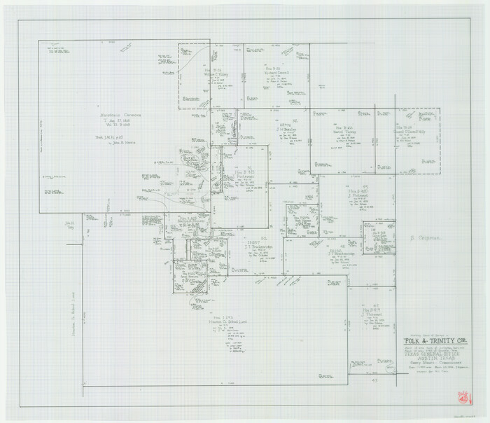
Polk County Working Sketch 42

Print $20.00
- Digital $50.00
Polk County Working Sketch 42
1992
Size: 30.8 x 35.7 inches
71659
Atlas T - Titles to Frontier Settlers issued by the Commissioner Carlos S. Taylor


Atlas T - Titles to Frontier Settlers issued by the Commissioner Carlos S. Taylor
1834
-
Map/Doc
94536
-
Creation Date
1834
English Field Notes of the Spanish Archives - Book 4 & W


English Field Notes of the Spanish Archives - Book 4 & W
1836
-
Map/Doc
96530
-
Creation Date
1836
English Field Notes of the Spanish Archives - Book J. Strode


English Field Notes of the Spanish Archives - Book J. Strode
1835
-
Map/Doc
96549
-
Creation Date
1835
English Field Notes of the Spanish Archives - Books J.S.2, 3, and 4


English Field Notes of the Spanish Archives - Books J.S.2, 3, and 4
1835
-
Map/Doc
96550
-
Creation Date
1835
English Field Notes of the Spanish Archives - Books JMH, MCMCHB, TGI


English Field Notes of the Spanish Archives - Books JMH, MCMCHB, TGI
1835
-
Map/Doc
96547
-
Creation Date
1835
English Field Notes of the Spanish Archives - Books SAS, DB4, GWS, JWB, and JWB3


English Field Notes of the Spanish Archives - Books SAS, DB4, GWS, JWB, and JWB3
1835
-
Map/Doc
96551
-
Creation Date
1835
English Field Notes of the Spanish Archives - Books TJG, DB, A, A2, B, B2, WB, and WR


English Field Notes of the Spanish Archives - Books TJG, DB, A, A2, B, B2, WB, and WR
1835
-
Map/Doc
96553
-
Creation Date
1835
General Highway Map, Trinity County, Texas


Print $20.00
General Highway Map, Trinity County, Texas
1940
-
Size
18.4 x 24.9 inches
-
Map/Doc
79263
-
Creation Date
1940
General Highway Map, Trinity County, Texas


Print $20.00
General Highway Map, Trinity County, Texas
1961
-
Size
18.1 x 24.5 inches
-
Map/Doc
79688
-
Creation Date
1961
General Highway Map. Detail of Cities and Towns in Trinity County, Texas [Groveton and Trinity and vicinities]
![79689, General Highway Map. Detail of Cities and Towns in Trinity County, Texas [Groveton and Trinity and vicinities], Texas State Library and Archives](https://historictexasmaps.com/wmedia_w700/maps/79689.tif.jpg)
![79689, General Highway Map. Detail of Cities and Towns in Trinity County, Texas [Groveton and Trinity and vicinities], Texas State Library and Archives](https://historictexasmaps.com/wmedia_w700/maps/79689.tif.jpg)
Print $20.00
General Highway Map. Detail of Cities and Towns in Trinity County, Texas [Groveton and Trinity and vicinities]
1961
-
Size
18.1 x 24.8 inches
-
Map/Doc
79689
-
Creation Date
1961
Houston County Sketch File 22


Print $8.00
- Digital $50.00
Houston County Sketch File 22
1852
-
Size
12.6 x 8.2 inches
-
Map/Doc
26789
-
Creation Date
1852
Houston County Sketch File 23


Print $6.00
- Digital $50.00
Houston County Sketch File 23
1852
-
Size
6.5 x 5.2 inches
-
Map/Doc
26793
-
Creation Date
1852
Houston County Sketch File 28


Print $20.00
- Digital $50.00
Houston County Sketch File 28
1877
-
Size
21.8 x 21.3 inches
-
Map/Doc
11789
-
Creation Date
1877
Houston County Sketch File 32


Print $4.00
- Digital $50.00
Houston County Sketch File 32
1877
-
Size
10.8 x 7.1 inches
-
Map/Doc
26809
-
Creation Date
1877
Houston County Sketch File 5a


Print $5.00
- Digital $50.00
Houston County Sketch File 5a
-
Size
8.5 x 9.4 inches
-
Map/Doc
26758
Map of Trinity Co.


Print $20.00
- Digital $50.00
Map of Trinity Co.
1896
-
Size
40.7 x 39.1 inches
-
Map/Doc
63079
-
Creation Date
1896
Map of Trinity Co.


Print $20.00
- Digital $50.00
Map of Trinity Co.
1896
-
Size
41.3 x 38.3 inches
-
Map/Doc
78446
-
Creation Date
1896
Map of Trinity County


Print $20.00
- Digital $50.00
Map of Trinity County
1862
-
Size
21.0 x 31.3 inches
-
Map/Doc
4096
-
Creation Date
1862
Map of Trinity County


Print $20.00
- Digital $50.00
Map of Trinity County
-
Size
17.8 x 24.8 inches
-
Map/Doc
760
Map of Trinity County Texas


Print $20.00
- Digital $50.00
Map of Trinity County Texas
1859
-
Size
21.5 x 30.6 inches
-
Map/Doc
4095
-
Creation Date
1859
Map of the Houston & Great Northern Railroad


Print $40.00
- Digital $50.00
Map of the Houston & Great Northern Railroad
1871
-
Size
29.3 x 122.1 inches
-
Map/Doc
64551
-
Creation Date
1871
Map of the Houston and Great Northern R.R. from Trinity River to Palestine


Print $40.00
- Digital $50.00
Map of the Houston and Great Northern R.R. from Trinity River to Palestine
1872
-
Size
30.3 x 119.9 inches
-
Map/Doc
64549
-
Creation Date
1872
Map showing location of Texas Prison Farms surveyed for the Texas Prison System


Print $20.00
- Digital $50.00
Map showing location of Texas Prison Farms surveyed for the Texas Prison System
1934
-
Size
15.6 x 12.3 inches
-
Map/Doc
94277
-
Creation Date
1934
Mills County Working Sketch 1


Print $20.00
- Digital $50.00
Mills County Working Sketch 1
-
Size
18.2 x 23.4 inches
-
Map/Doc
71031
Neches River, Watershed of the Neches River


Print $6.00
- Digital $50.00
Neches River, Watershed of the Neches River
1925
-
Size
34.6 x 28.3 inches
-
Map/Doc
65085
-
Creation Date
1925
Polk County Sketch File 14a


Print $4.00
- Digital $50.00
Polk County Sketch File 14a
1863
-
Size
9.0 x 14.6 inches
-
Map/Doc
34155
-
Creation Date
1863
Polk County Sketch File 26a


Print $10.00
- Digital $50.00
Polk County Sketch File 26a
1878
-
Size
14.2 x 8.7 inches
-
Map/Doc
34189
-
Creation Date
1878
Polk County Working Sketch 22


Print $40.00
- Digital $50.00
Polk County Working Sketch 22
1957
-
Size
43.0 x 64.6 inches
-
Map/Doc
71637
-
Creation Date
1957
Polk County Working Sketch 26


Print $20.00
- Digital $50.00
Polk County Working Sketch 26
1958
-
Size
19.0 x 24.8 inches
-
Map/Doc
71642
-
Creation Date
1958
Polk County Working Sketch 42


Print $20.00
- Digital $50.00
Polk County Working Sketch 42
1992
-
Size
30.8 x 35.7 inches
-
Map/Doc
71659
-
Creation Date
1992