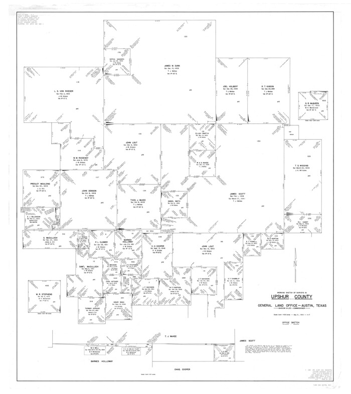
Upshur County Rolled Sketch 1
1953
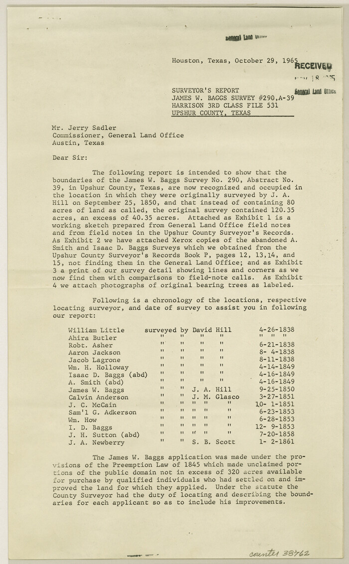
Upshur County Sketch File 17
1965

Upshur County Sketch File 13A
1936

Upshur County Sketch File 13B
1936

Upshur County Sketch File 15
1934
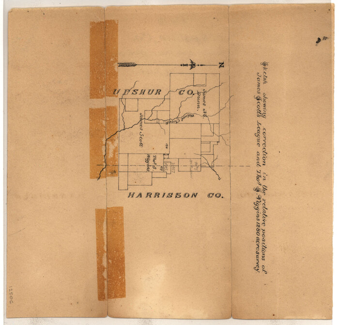
Upshur County Sketch File 16
1873

Upshur County Sketch File 19
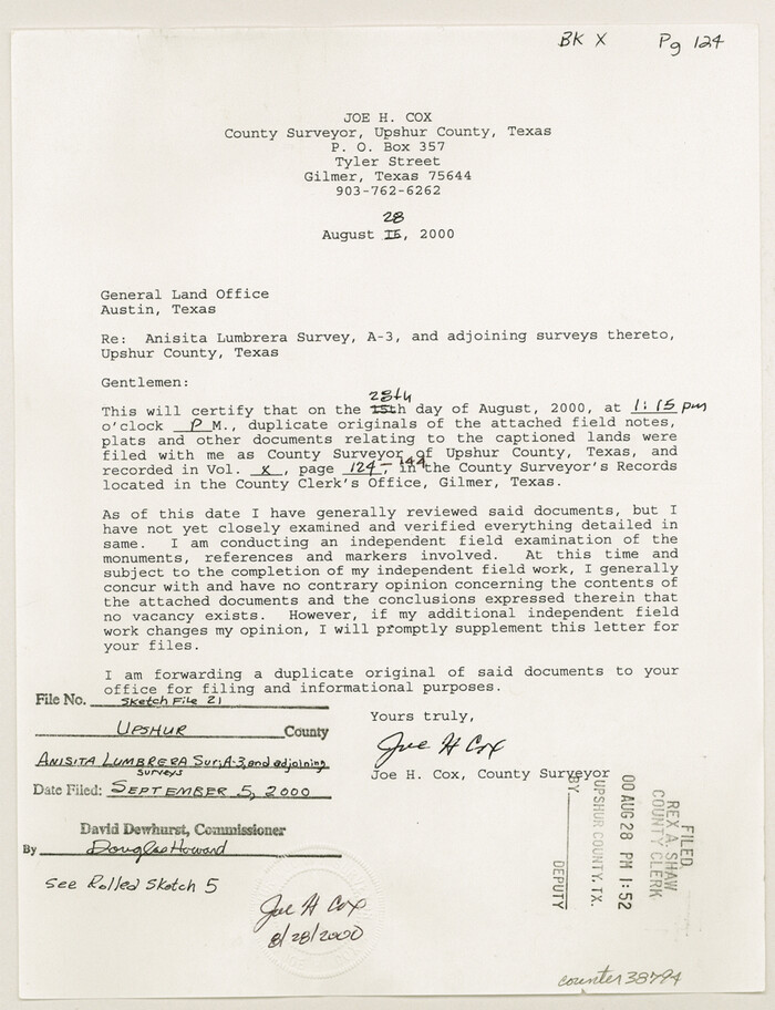
Upshur County Sketch File 21
2000
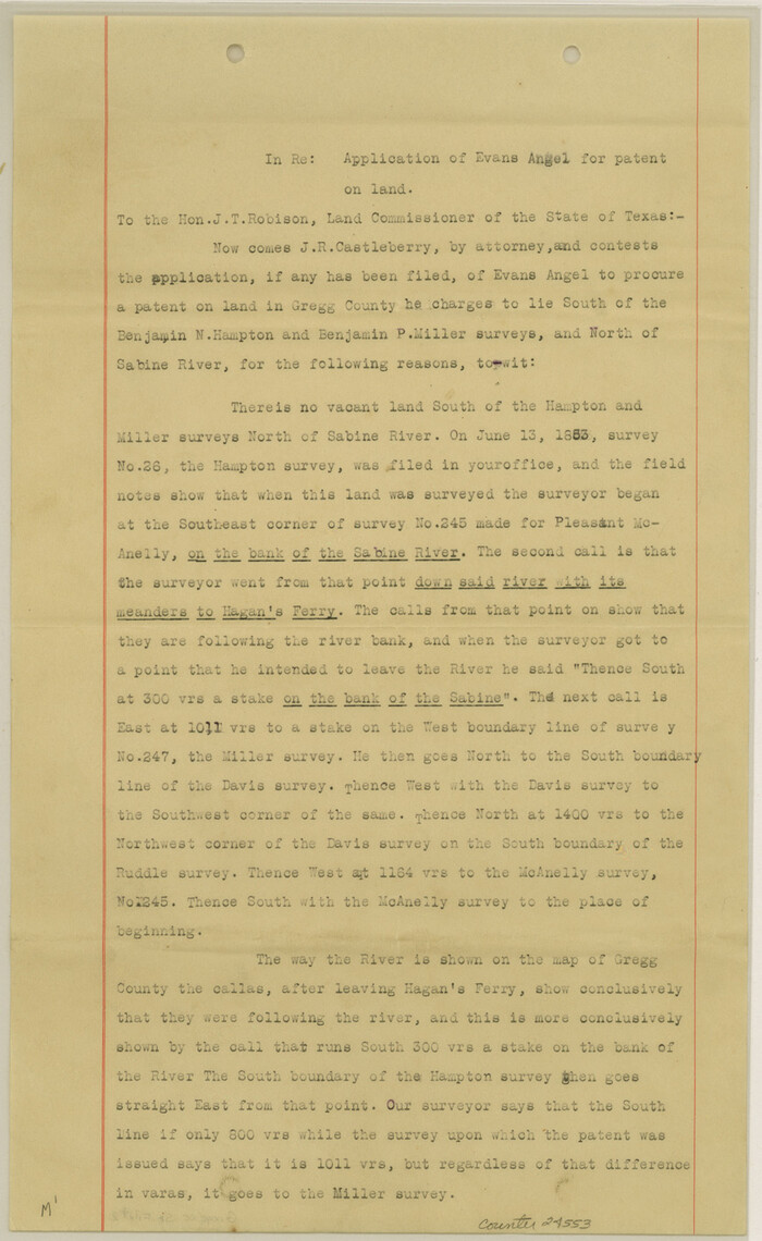
Gregg County Sketch File 2
1921
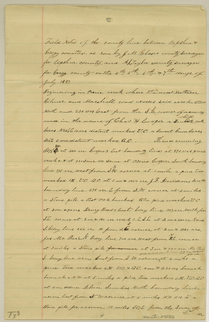
Gregg County Sketch File 8
1931

Gregg County Sketch File 9
1931
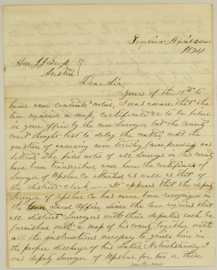
Gregg County Sketch File 17
1874
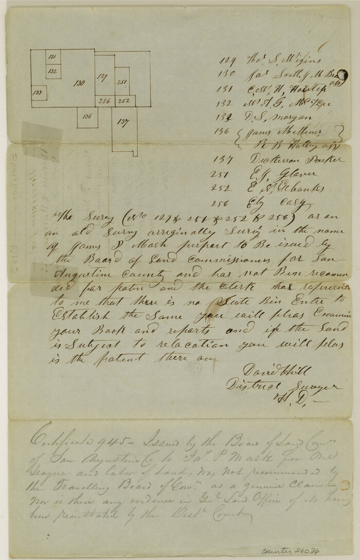
Harrison County Sketch File 3
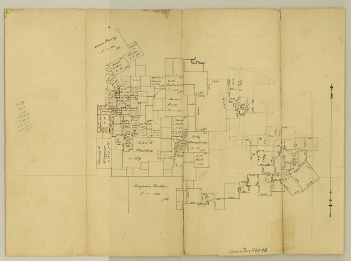
Harrison County Sketch File 9
1862
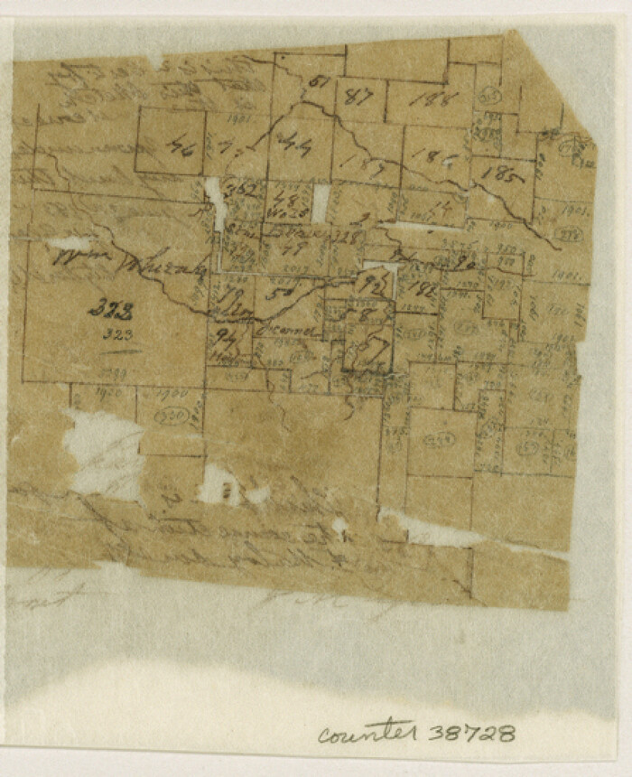
Upshur County Sketch File 1
1854
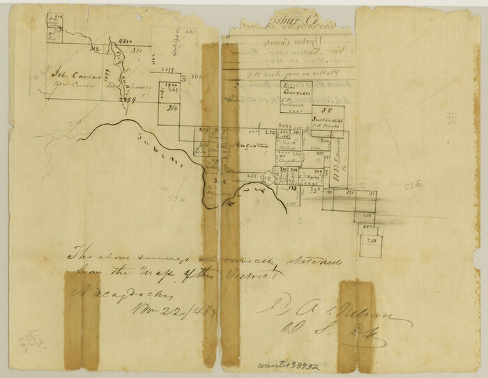
Upshur County Sketch File 2
1848
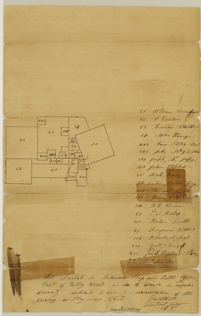
Upshur County Sketch File 2a
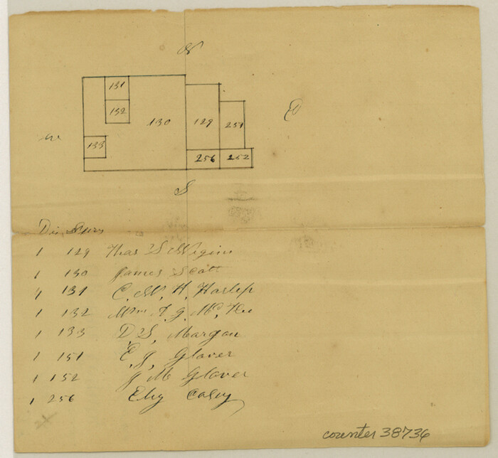
Upshur County Sketch File 3a
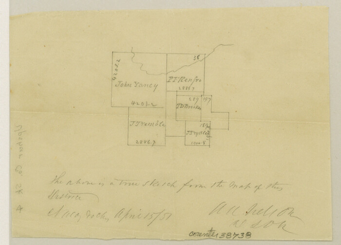
Upshur County Sketch File 4
1851

Upshur County Sketch File 5
1855
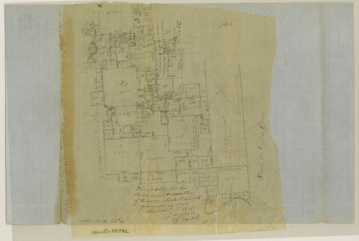
Upshur County Sketch File 6
1855

Upshur County Sketch File 7
1849

Upshur County Sketch File 8
1857
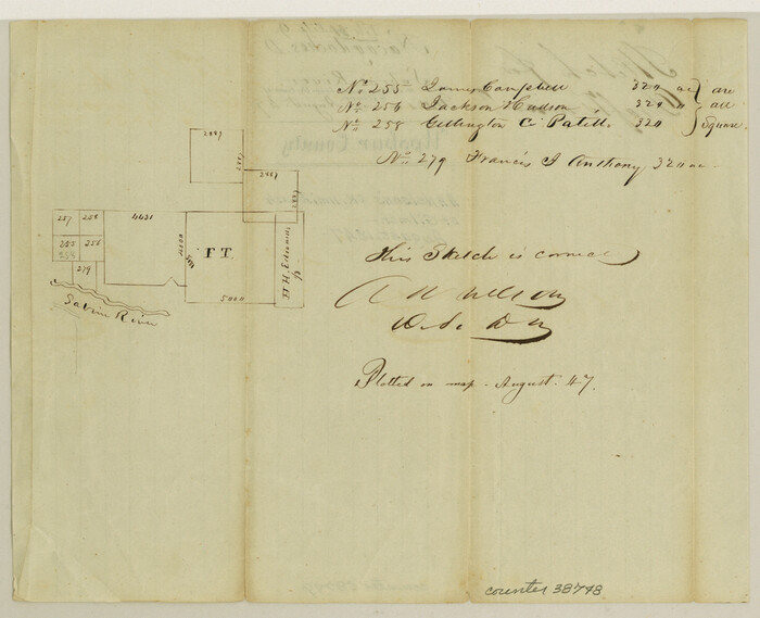
Upshur County Sketch File 9
1847
Upshur County Sketch File 11
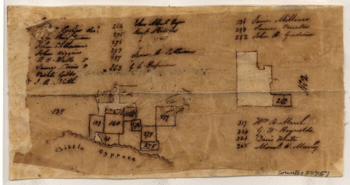
Upshur County Sketch File 12
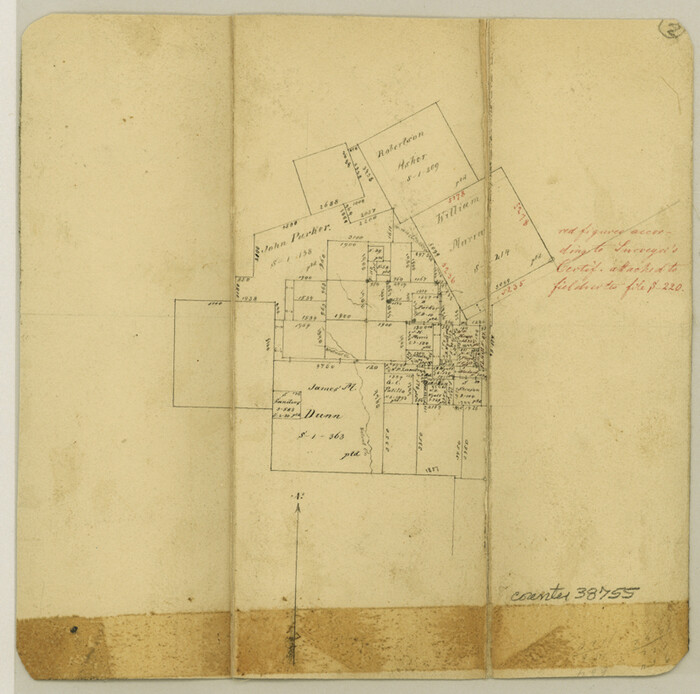
Upshur County Sketch File 13
1861

Upshur County Sketch File 14
1936
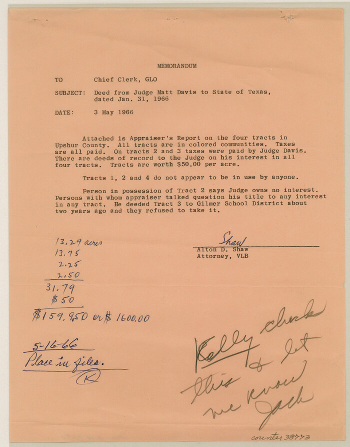
Upshur County Sketch File 18
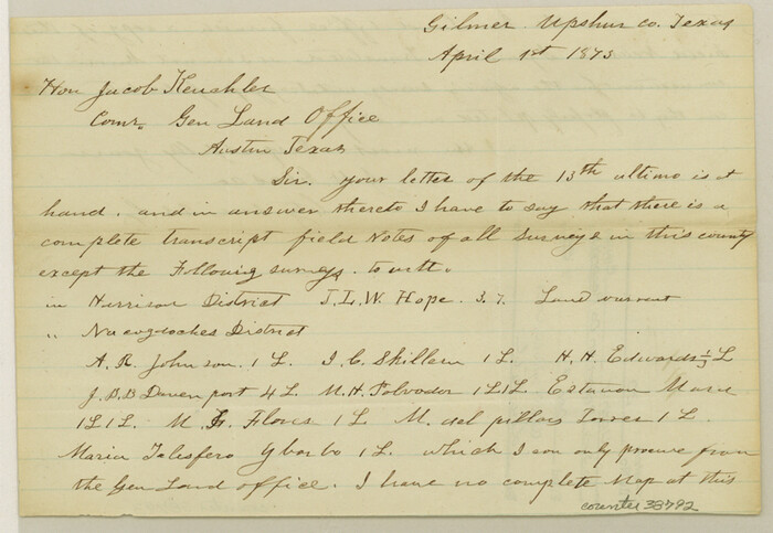
Upshur County Sketch File 20
1873

Upshur County Rolled Sketch 1
1953
-
Size
50.2 x 44.7 inches
-
Map/Doc
10298
-
Creation Date
1953

Upshur County Sketch File 17
1965
-
Size
35.4 x 31.8 inches
-
Map/Doc
10410
-
Creation Date
1965

Upshur County Sketch File 13A
1936
-
Size
20.5 x 32.4 inches
-
Map/Doc
12503
-
Creation Date
1936

Upshur County Sketch File 13B
1936
-
Size
20.5 x 32.3 inches
-
Map/Doc
12504
-
Creation Date
1936

Upshur County Sketch File 15
1934
-
Size
20.7 x 31.2 inches
-
Map/Doc
12505
-
Creation Date
1934

Upshur County Sketch File 16
1873
-
Size
19.1 x 28.0 inches
-
Map/Doc
12506
-
Creation Date
1873

Upshur County Sketch File 19
-
Size
17.9 x 22.2 inches
-
Map/Doc
12507

Upshur County Sketch File 21
2000
-
Size
36.6 x 24.9 inches
-
Map/Doc
12508
-
Creation Date
2000

Gregg County Sketch File 2
1921
-
Size
14.2 x 8.7 inches
-
Map/Doc
24553
-
Creation Date
1921

Gregg County Sketch File 8
1931
-
Size
12.9 x 8.3 inches
-
Map/Doc
24582
-
Creation Date
1931

Gregg County Sketch File 9
1931
-
Size
11.1 x 8.7 inches
-
Map/Doc
24586
-
Creation Date
1931

Gregg County Sketch File 17
1874
-
Size
10.3 x 8.2 inches
-
Map/Doc
24621
-
Creation Date
1874

Harrison County Sketch File 3
-
Size
13.0 x 8.3 inches
-
Map/Doc
26036

Harrison County Sketch File 9
1862
-
Size
8.3 x 11.1 inches
-
Map/Doc
26048
-
Creation Date
1862

Upshur County Sketch File 1
1854
-
Size
5.5 x 4.5 inches
-
Map/Doc
38728
-
Creation Date
1854

Upshur County Sketch File 2
1848
-
Size
8.5 x 11.0 inches
-
Map/Doc
38732
-
Creation Date
1848

Upshur County Sketch File 2a
-
Size
12.9 x 8.2 inches
-
Map/Doc
38734

Upshur County Sketch File 3a
-
Size
6.5 x 7.1 inches
-
Map/Doc
38736

Upshur County Sketch File 4
1851
-
Size
4.7 x 6.5 inches
-
Map/Doc
38738
-
Creation Date
1851

Upshur County Sketch File 5
1855
-
Size
8.3 x 12.9 inches
-
Map/Doc
38740
-
Creation Date
1855

Upshur County Sketch File 6
1855
-
Size
8.7 x 13.0 inches
-
Map/Doc
38742
-
Creation Date
1855

Upshur County Sketch File 7
1849
-
Size
8.2 x 10.2 inches
-
Map/Doc
38744
-
Creation Date
1849

Upshur County Sketch File 8
1857
-
Size
20.4 x 8.2 inches
-
Map/Doc
38746
-
Creation Date
1857

Upshur County Sketch File 9
1847
-
Size
8.4 x 10.3 inches
-
Map/Doc
38748
-
Creation Date
1847

Upshur County Sketch File 11
-
Size
8.4 x 10.4 inches
-
Map/Doc
38750

Upshur County Sketch File 12
-
Size
10.3 x 8.0 inches
-
Map/Doc
38751

Upshur County Sketch File 13
1861
-
Size
8.2 x 8.3 inches
-
Map/Doc
38755
-
Creation Date
1861

Upshur County Sketch File 14
1936
-
Size
11.4 x 8.8 inches
-
Map/Doc
38757
-
Creation Date
1936

Upshur County Sketch File 18
-
Size
11.4 x 8.9 inches
-
Map/Doc
38773

Upshur County Sketch File 20
1873
-
Size
5.7 x 8.3 inches
-
Map/Doc
38792
-
Creation Date
1873