Waller County Working Sketch 7

Print $20.00
- Digital $50.00
Waller County Working Sketch 7
2000
Size: 34.6 x 41.5 inches
72306
Harris County Sketch File 100

Print $518.00
- Digital $50.00
Harris County Sketch File 100
1991
Size: 11.5 x 8.8 inches
25674
Waller County Working Sketch 6

Print $20.00
- Digital $50.00
Waller County Working Sketch 6
1988
Size: 31.1 x 20.0 inches
72305
Waller County Working Sketch 5

Print $20.00
- Digital $50.00
Waller County Working Sketch 5
1966
Size: 23.1 x 27.1 inches
72304
Waller County Working Sketch 4

Print $20.00
- Digital $50.00
Waller County Working Sketch 4
1965
Size: 17.3 x 18.8 inches
72303
Montgomery County Working Sketch 63

Print $20.00
- Digital $50.00
Montgomery County Working Sketch 63
1964
Size: 31.6 x 36.7 inches
71170
Grimes County Working Sketch 7

Print $20.00
- Digital $50.00
Grimes County Working Sketch 7
1963
Size: 27.2 x 33.0 inches
63298
General Highway Map, Waller County, Texas

Print $20.00
General Highway Map, Waller County, Texas
1961
Size: 24.9 x 18.2 inches
79700
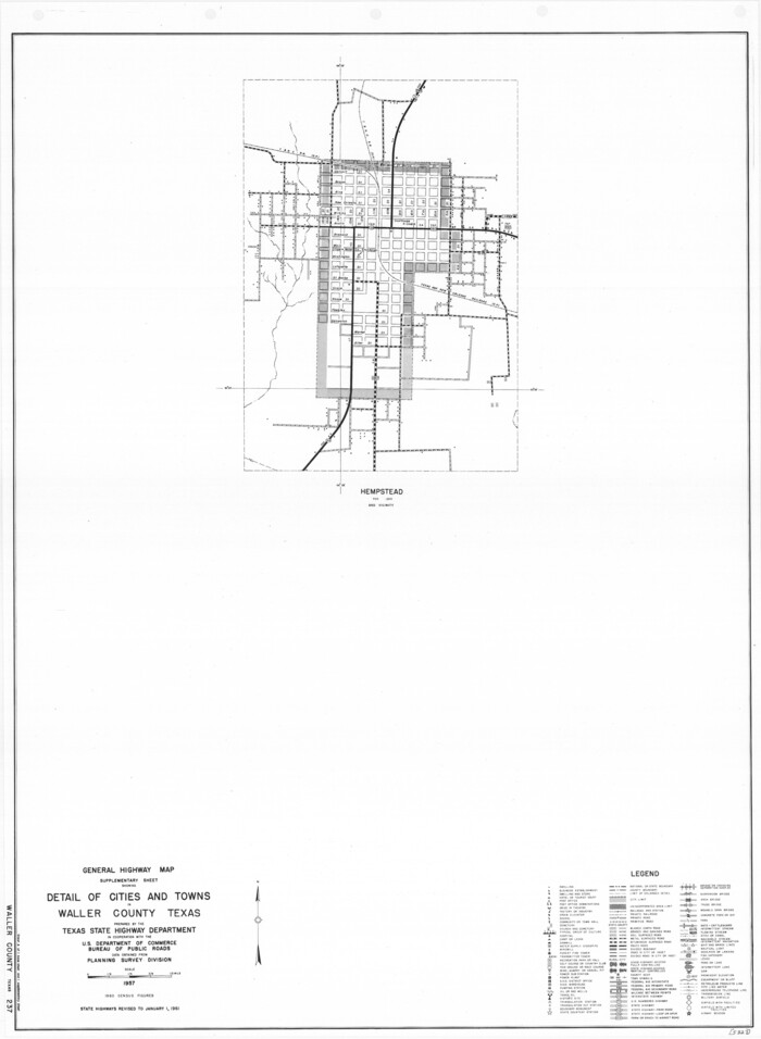
General Highway Map. Detail of Cities and Towns in Waller County, Texas [Hempstead and vicinity]
Print $20.00
General Highway Map. Detail of Cities and Towns in Waller County, Texas [Hempstead and vicinity]
1961
Size: 24.8 x 18.2 inches
79701
Waller County Working Sketch 3

Print $20.00
- Digital $50.00
Waller County Working Sketch 3
1959
Size: 35.4 x 28.8 inches
72302
Waller County Working Sketch 2

Print $20.00
- Digital $50.00
Waller County Working Sketch 2
1955
Size: 19.5 x 18.8 inches
72301
Waller County Working Sketch Graphic Index

Print $20.00
- Digital $50.00
Waller County Working Sketch Graphic Index
1945
Size: 46.7 x 27.2 inches
76730
General Highway Map, Waller County, Texas

Print $20.00
General Highway Map, Waller County, Texas
1939
Size: 25.1 x 18.5 inches
79270
Fort Bend County Working Sketch 11

Print $20.00
- Digital $50.00
Fort Bend County Working Sketch 11
1938
Size: 33.2 x 29.1 inches
69217
Brazos River, Howth Sheet

Print $6.00
- Digital $50.00
Brazos River, Howth Sheet
1936
Size: 30.5 x 30.9 inches
65276
Map showing location of Texas Prison Farms surveyed for the Texas Prison System

Print $20.00
- Digital $50.00
Map showing location of Texas Prison Farms surveyed for the Texas Prison System
1934
Size: 15.6 x 12.3 inches
94277
Waller County Sketch File 12

Print $6.00
- Digital $50.00
Waller County Sketch File 12
1928
Size: 7.6 x 8.8 inches
39616
Brazos River, Widths of Floodways/Brazos and Navasota Rivers

Print $20.00
- Digital $50.00
Brazos River, Widths of Floodways/Brazos and Navasota Rivers
1921
Size: 38.1 x 24.5 inches
65292
Right of Way and Track Map, the Missouri, Kansas & Texas Ry. Of Texas operated by the Missouri, Kansas & Texas Ry. Of Texas, Houston Division

Print $40.00
- Digital $50.00
Right of Way and Track Map, the Missouri, Kansas & Texas Ry. Of Texas operated by the Missouri, Kansas & Texas Ry. Of Texas, Houston Division
1918
Size: 26.0 x 62.1 inches
64785
Right of Way and Track Map, the Missouri, Kansas & Texas Ry. Of Texas operated by the Missouri, Kansas & Texas Ry. Of Texas, Houston Division

Print $40.00
- Digital $50.00
Right of Way and Track Map, the Missouri, Kansas & Texas Ry. Of Texas operated by the Missouri, Kansas & Texas Ry. Of Texas, Houston Division
1918
Size: 25.6 x 62.5 inches
64786
Right of Way and Track Map, the Missouri, Kansas & Texas Ry. Of Texas operated by the Missouri, Kansas & Texas Ry. Of Texas, Houston Division

Print $40.00
- Digital $50.00
Right of Way and Track Map, the Missouri, Kansas & Texas Ry. Of Texas operated by the Missouri, Kansas & Texas Ry. Of Texas, Houston Division
1918
Size: 24.7 x 73.8 inches
64565
Right of Way and Track Map, the Missouri, Kansas & Texas Ry. Of Texas operated by the Missouri, Kansas & Texas Ry. Of Texas, Houston Division

Print $40.00
- Digital $50.00
Right of Way and Track Map, the Missouri, Kansas & Texas Ry. Of Texas operated by the Missouri, Kansas & Texas Ry. Of Texas, Houston Division
1918
Size: 25.6 x 64.4 inches
64566
Right of Way and Track Map, the Missouri, Kansas & Texas Ry. Of Texas operated by the Missouri, Kansas & Texas Ry. Of Texas, Houston Division

Print $40.00
- Digital $50.00
Right of Way and Track Map, the Missouri, Kansas & Texas Ry. Of Texas operated by the Missouri, Kansas & Texas Ry. Of Texas, Houston Division
1918
Size: 25.5 x 61.9 inches
64567
Waller County Sketch File 11

Print $40.00
- Digital $50.00
Waller County Sketch File 11
1913
Size: 16.6 x 14.3 inches
39614
Waller County Sketch File 10

Print $4.00
- Digital $50.00
Waller County Sketch File 10
1912
Size: 12.4 x 8.6 inches
39612
Waller County Working Sketch 1

Print $20.00
- Digital $50.00
Waller County Working Sketch 1
1899
Size: 16.2 x 21.2 inches
72300
Waller County Working Sketch 7
Print $20.00
- Digital $50.00
Waller County Working Sketch 7
2000
-
Size
34.6 x 41.5 inches
-
Map/Doc
72306
-
Creation Date
2000
Harris County Sketch File 100
Print $518.00
- Digital $50.00
Harris County Sketch File 100
1991
-
Size
11.5 x 8.8 inches
-
Map/Doc
25674
-
Creation Date
1991
Waller County Working Sketch 6
Print $20.00
- Digital $50.00
Waller County Working Sketch 6
1988
-
Size
31.1 x 20.0 inches
-
Map/Doc
72305
-
Creation Date
1988
Waller County Working Sketch 5
Print $20.00
- Digital $50.00
Waller County Working Sketch 5
1966
-
Size
23.1 x 27.1 inches
-
Map/Doc
72304
-
Creation Date
1966
Waller County Working Sketch 4
Print $20.00
- Digital $50.00
Waller County Working Sketch 4
1965
-
Size
17.3 x 18.8 inches
-
Map/Doc
72303
-
Creation Date
1965
Montgomery County Working Sketch 63
Print $20.00
- Digital $50.00
Montgomery County Working Sketch 63
1964
-
Size
31.6 x 36.7 inches
-
Map/Doc
71170
-
Creation Date
1964
Grimes County Working Sketch 7
Print $20.00
- Digital $50.00
Grimes County Working Sketch 7
1963
-
Size
27.2 x 33.0 inches
-
Map/Doc
63298
-
Creation Date
1963
General Highway Map, Waller County, Texas
Print $20.00
General Highway Map, Waller County, Texas
1961
-
Size
24.9 x 18.2 inches
-
Map/Doc
79700
-
Creation Date
1961
General Highway Map. Detail of Cities and Towns in Waller County, Texas [Hempstead and vicinity]
Print $20.00
General Highway Map. Detail of Cities and Towns in Waller County, Texas [Hempstead and vicinity]
1961
-
Size
24.8 x 18.2 inches
-
Map/Doc
79701
-
Creation Date
1961
Waller County Working Sketch 3
Print $20.00
- Digital $50.00
Waller County Working Sketch 3
1959
-
Size
35.4 x 28.8 inches
-
Map/Doc
72302
-
Creation Date
1959
Waller County Working Sketch 2
Print $20.00
- Digital $50.00
Waller County Working Sketch 2
1955
-
Size
19.5 x 18.8 inches
-
Map/Doc
72301
-
Creation Date
1955
Waller County

Print $40.00
- Digital $50.00
Waller County
1945
-
Size
48.0 x 28.5 inches
-
Map/Doc
63108
-
Creation Date
1945
Waller County

Print $40.00
- Digital $50.00
Waller County
1945
-
Size
48.5 x 28.9 inches
-
Map/Doc
73315
-
Creation Date
1945
Waller County

Print $20.00
- Digital $50.00
Waller County
1945
-
Size
46.4 x 27.1 inches
-
Map/Doc
77449
-
Creation Date
1945
Waller County

Print $40.00
- Digital $50.00
Waller County
1945
-
Size
48.9 x 28.4 inches
-
Map/Doc
95665
-
Creation Date
1945
Waller County Working Sketch Graphic Index
Print $20.00
- Digital $50.00
Waller County Working Sketch Graphic Index
1945
-
Size
46.7 x 27.2 inches
-
Map/Doc
76730
-
Creation Date
1945
General Highway Map, Waller County, Texas
Print $20.00
General Highway Map, Waller County, Texas
1939
-
Size
25.1 x 18.5 inches
-
Map/Doc
79270
-
Creation Date
1939
Fort Bend County Working Sketch 11
Print $20.00
- Digital $50.00
Fort Bend County Working Sketch 11
1938
-
Size
33.2 x 29.1 inches
-
Map/Doc
69217
-
Creation Date
1938
Brazos River, Howth Sheet
Print $6.00
- Digital $50.00
Brazos River, Howth Sheet
1936
-
Size
30.5 x 30.9 inches
-
Map/Doc
65276
-
Creation Date
1936
Map showing location of Texas Prison Farms surveyed for the Texas Prison System
Print $20.00
- Digital $50.00
Map showing location of Texas Prison Farms surveyed for the Texas Prison System
1934
-
Size
15.6 x 12.3 inches
-
Map/Doc
94277
-
Creation Date
1934
Waller County Sketch File 12
Print $6.00
- Digital $50.00
Waller County Sketch File 12
1928
-
Size
7.6 x 8.8 inches
-
Map/Doc
39616
-
Creation Date
1928
Brazos River, Widths of Floodways/Brazos and Navasota Rivers
Print $20.00
- Digital $50.00
Brazos River, Widths of Floodways/Brazos and Navasota Rivers
1921
-
Size
38.1 x 24.5 inches
-
Map/Doc
65292
-
Creation Date
1921
Right of Way and Track Map, the Missouri, Kansas & Texas Ry. Of Texas operated by the Missouri, Kansas & Texas Ry. Of Texas, Houston Division
Print $40.00
- Digital $50.00
Right of Way and Track Map, the Missouri, Kansas & Texas Ry. Of Texas operated by the Missouri, Kansas & Texas Ry. Of Texas, Houston Division
1918
-
Size
26.0 x 62.1 inches
-
Map/Doc
64785
-
Creation Date
1918
Right of Way and Track Map, the Missouri, Kansas & Texas Ry. Of Texas operated by the Missouri, Kansas & Texas Ry. Of Texas, Houston Division
Print $40.00
- Digital $50.00
Right of Way and Track Map, the Missouri, Kansas & Texas Ry. Of Texas operated by the Missouri, Kansas & Texas Ry. Of Texas, Houston Division
1918
-
Size
25.6 x 62.5 inches
-
Map/Doc
64786
-
Creation Date
1918
Right of Way and Track Map, the Missouri, Kansas & Texas Ry. Of Texas operated by the Missouri, Kansas & Texas Ry. Of Texas, Houston Division
Print $40.00
- Digital $50.00
Right of Way and Track Map, the Missouri, Kansas & Texas Ry. Of Texas operated by the Missouri, Kansas & Texas Ry. Of Texas, Houston Division
1918
-
Size
24.7 x 73.8 inches
-
Map/Doc
64565
-
Creation Date
1918
Right of Way and Track Map, the Missouri, Kansas & Texas Ry. Of Texas operated by the Missouri, Kansas & Texas Ry. Of Texas, Houston Division
Print $40.00
- Digital $50.00
Right of Way and Track Map, the Missouri, Kansas & Texas Ry. Of Texas operated by the Missouri, Kansas & Texas Ry. Of Texas, Houston Division
1918
-
Size
25.6 x 64.4 inches
-
Map/Doc
64566
-
Creation Date
1918
Right of Way and Track Map, the Missouri, Kansas & Texas Ry. Of Texas operated by the Missouri, Kansas & Texas Ry. Of Texas, Houston Division
Print $40.00
- Digital $50.00
Right of Way and Track Map, the Missouri, Kansas & Texas Ry. Of Texas operated by the Missouri, Kansas & Texas Ry. Of Texas, Houston Division
1918
-
Size
25.5 x 61.9 inches
-
Map/Doc
64567
-
Creation Date
1918
Waller County Sketch File 11
Print $40.00
- Digital $50.00
Waller County Sketch File 11
1913
-
Size
16.6 x 14.3 inches
-
Map/Doc
39614
-
Creation Date
1913
Waller County Sketch File 10
Print $4.00
- Digital $50.00
Waller County Sketch File 10
1912
-
Size
12.4 x 8.6 inches
-
Map/Doc
39612
-
Creation Date
1912
Waller County Working Sketch 1
Print $20.00
- Digital $50.00
Waller County Working Sketch 1
1899
-
Size
16.2 x 21.2 inches
-
Map/Doc
72300
-
Creation Date
1899