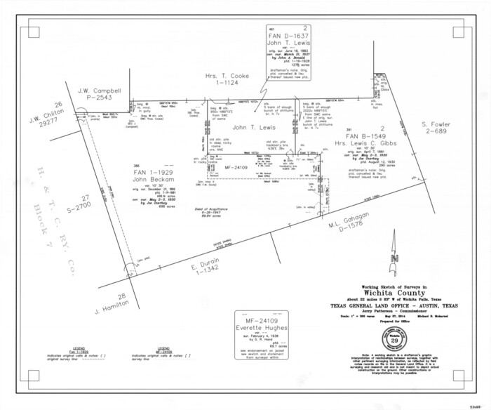
Wichita County Working Sketch 29
2014
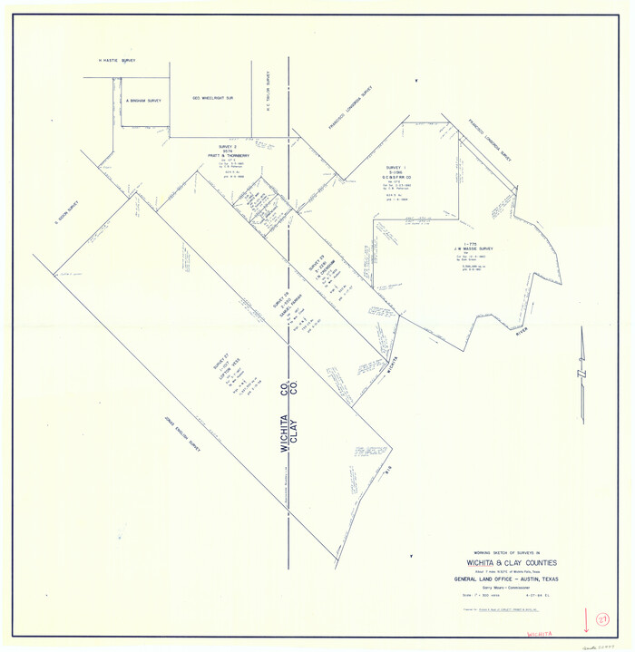
Wichita County Working Sketch 27
1984

Wichita County Working Sketch 26
1981

Wichita County Working Sketch 25
1980

Wilbarger County Working Sketch 19
1972

Wichita County Working Sketch Graphic Index
1971
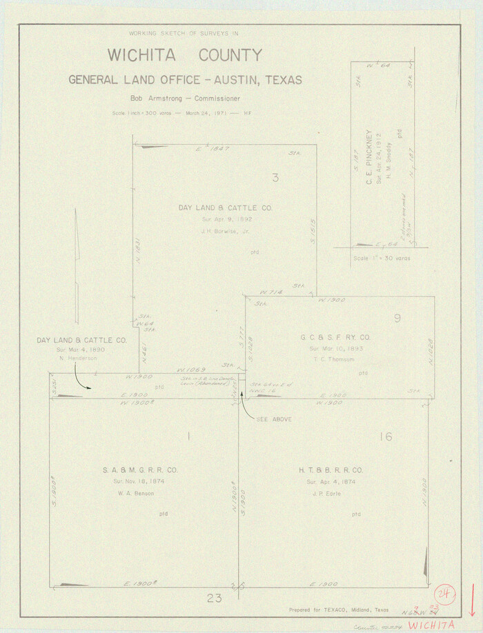
Wichita County Working Sketch 24
1971
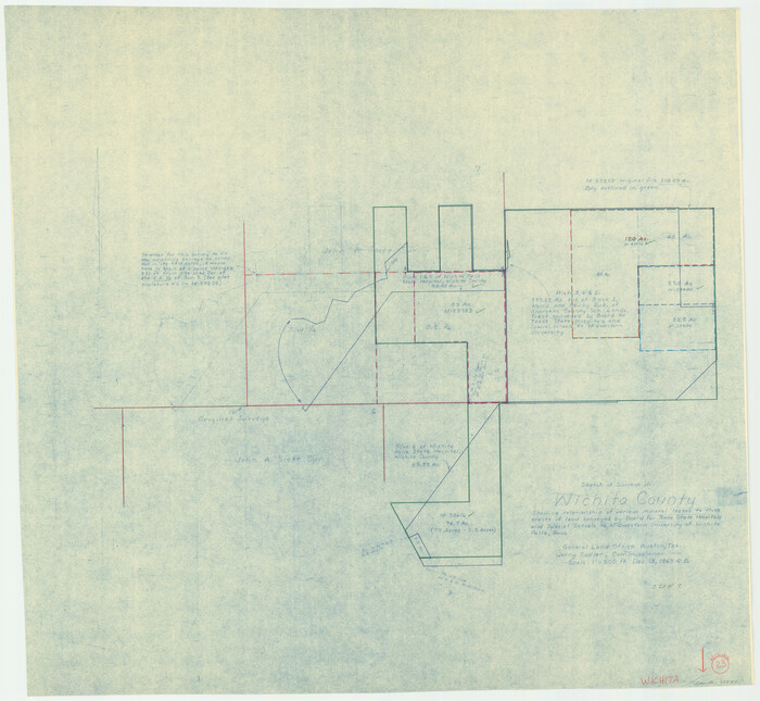
Wichita County Working Sketch 23
1963

Wichita County Rolled Sketch 19
1963

General Highway Map, Wichita County, Texas
1961
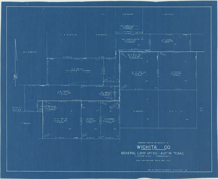
Wichita County Working Sketch 22
1952

Wichita County Working Sketch 21
1951
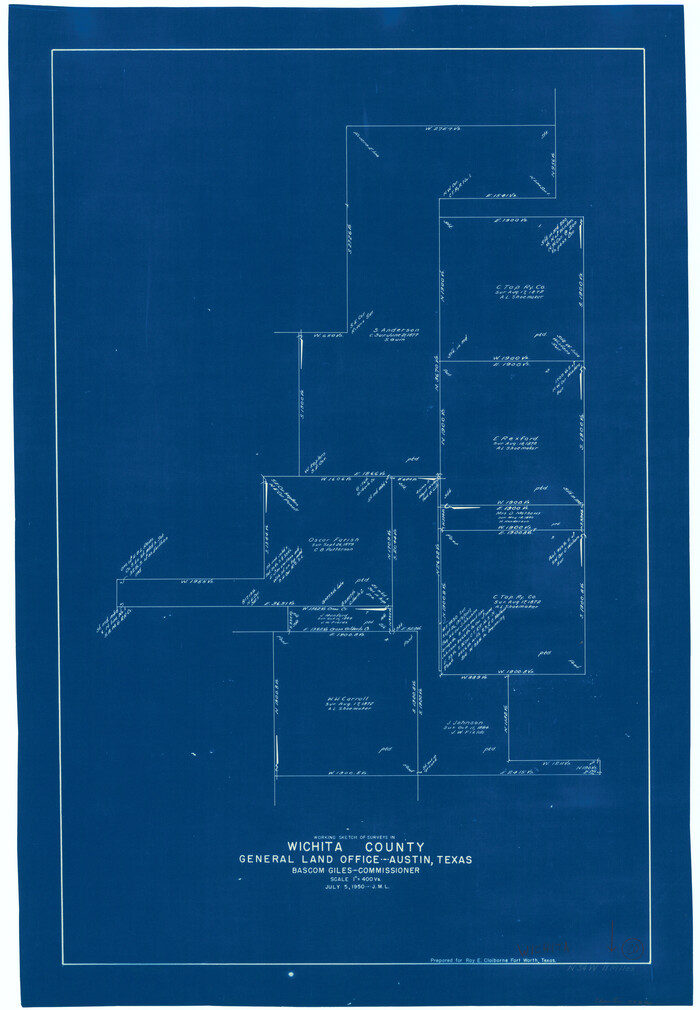
Wichita County Working Sketch 20
1950

Wichita County Sketch File 35
1950

Wichita County Sketch File 33
1949

Wichita County Working Sketch 19
1949
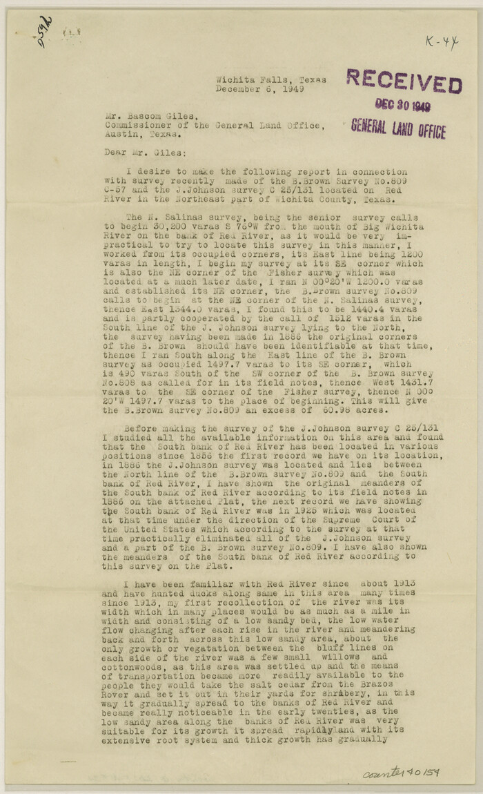
Wichita County Sketch File 34
1949
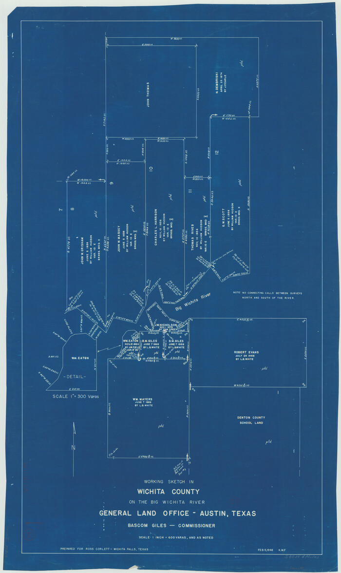
Wichita County Working Sketch 18
1948
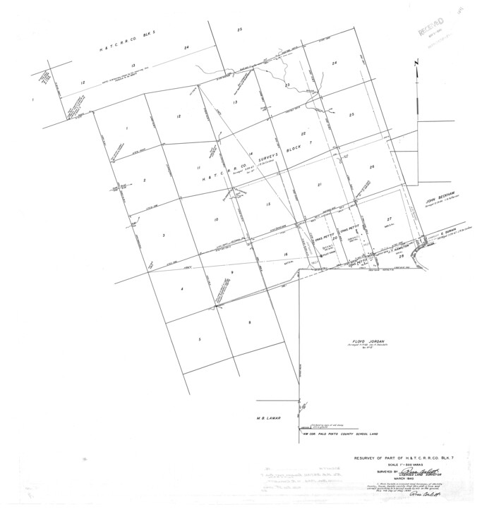
Wichita County Rolled Sketch 16
1940
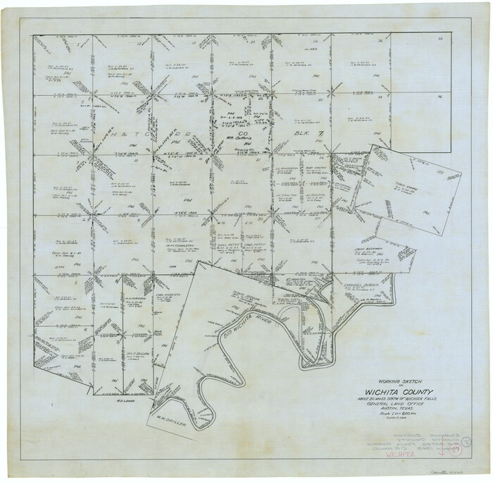
Wichita County Working Sketch 17
1940
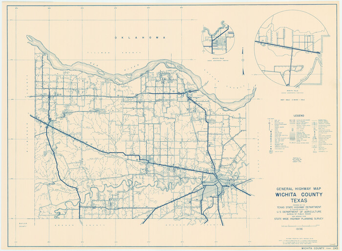
General Highway Map, Wichita County, Texas
1940

Wichita County Working Sketch 16
1939
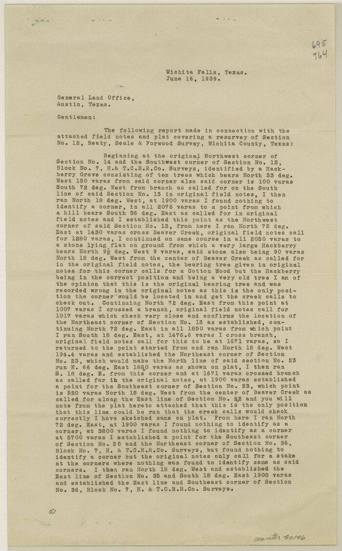
Wichita County Sketch File 32
1939
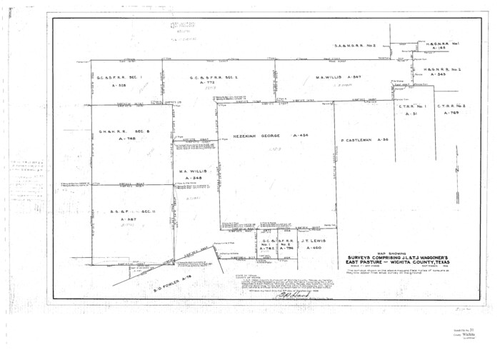
Wichita County Sketch File 31
1938

Wichita County Sketch File 29
1930
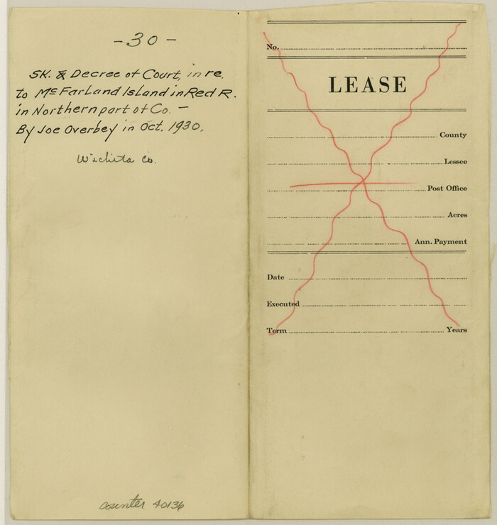
Wichita County Sketch File 30
1930

Wichita County Sketch File 28
1929

Wichita County Working Sketch 29
2014
-
Size
16.7 x 20.0 inches
-
Map/Doc
93688
-
Creation Date
2014

Wichita County Working Sketch 27
1984
-
Size
35.6 x 34.6 inches
-
Map/Doc
72537
-
Creation Date
1984

Wichita County Working Sketch 26
1981
-
Size
13.1 x 21.0 inches
-
Map/Doc
72536
-
Creation Date
1981

Wichita County Working Sketch 25
1980
-
Size
27.1 x 27.7 inches
-
Map/Doc
72535
-
Creation Date
1980

Wilbarger County Working Sketch 19
1972
-
Size
36.6 x 38.3 inches
-
Map/Doc
72557
-
Creation Date
1972
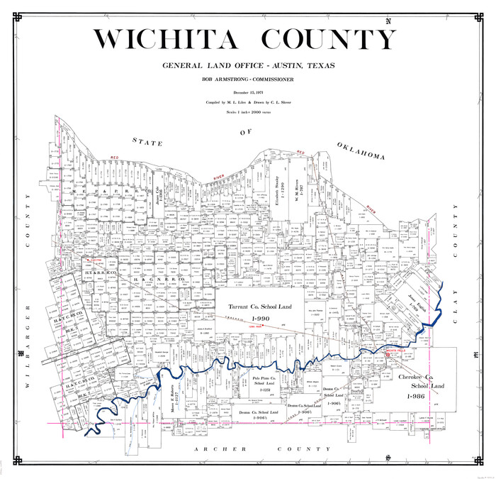
Wichita County
1971
-
Size
38.1 x 39.8 inches
-
Map/Doc
73323
-
Creation Date
1971

Wichita County Working Sketch Graphic Index
1971
-
Size
36.7 x 38.5 inches
-
Map/Doc
76739
-
Creation Date
1971
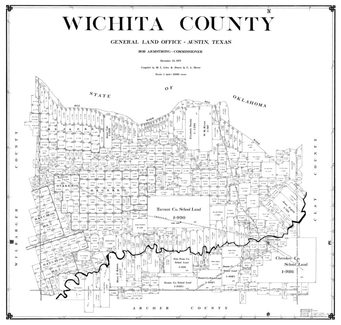
Wichita County
1971
-
Size
35.8 x 37.7 inches
-
Map/Doc
77457
-
Creation Date
1971
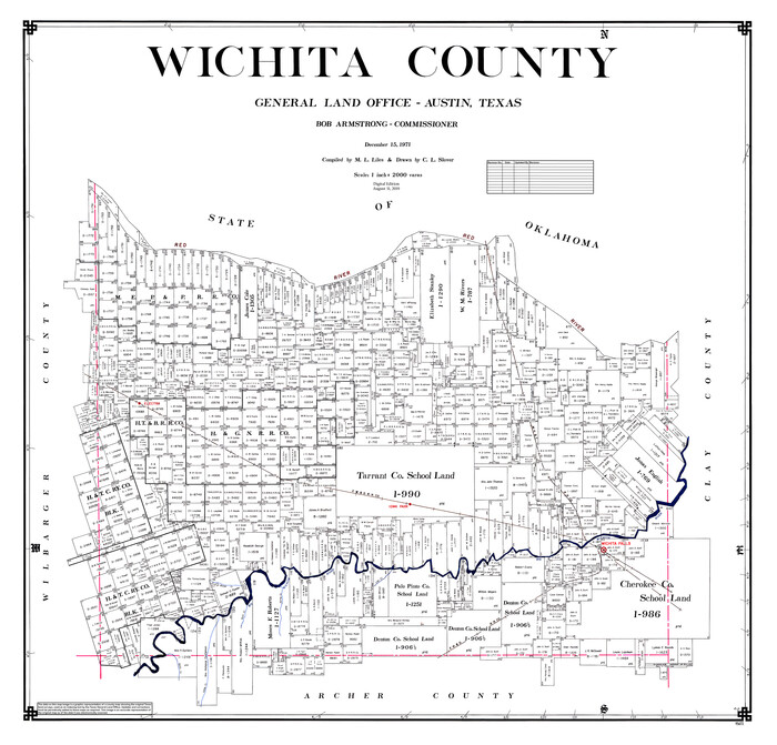
Wichita County
1971
-
Size
39.1 x 40.8 inches
-
Map/Doc
95673
-
Creation Date
1971

Wichita County Working Sketch 24
1971
-
Size
21.2 x 16.2 inches
-
Map/Doc
72534
-
Creation Date
1971

Wichita County Working Sketch 23
1963
-
Size
28.4 x 30.8 inches
-
Map/Doc
72533
-
Creation Date
1963

Wichita County Rolled Sketch 19
1963
-
Size
28.5 x 30.9 inches
-
Map/Doc
8255
-
Creation Date
1963

General Highway Map, Wichita County, Texas
1961
-
Size
18.2 x 24.6 inches
-
Map/Doc
79709
-
Creation Date
1961

Wichita County Working Sketch 22
1952
-
Size
22.2 x 27.1 inches
-
Map/Doc
72532
-
Creation Date
1952

Wichita County Working Sketch 21
1951
-
Size
28.4 x 30.2 inches
-
Map/Doc
72531
-
Creation Date
1951

Wichita County Working Sketch 20
1950
-
Size
33.2 x 23.0 inches
-
Map/Doc
72530
-
Creation Date
1950

Wichita County Sketch File 35
1950
-
Size
14.3 x 8.5 inches
-
Map/Doc
40157
-
Creation Date
1950

Wichita County Sketch File 33
1949
-
Size
11.0 x 17.0 inches
-
Map/Doc
40152
-
Creation Date
1949

Wichita County Working Sketch 19
1949
-
Size
18.1 x 30.9 inches
-
Map/Doc
72529
-
Creation Date
1949

Wichita County Sketch File 34
1949
-
Size
14.4 x 8.8 inches
-
Map/Doc
40154
-
Creation Date
1949

Wichita County Working Sketch 18
1948
-
Size
34.9 x 20.8 inches
-
Map/Doc
72528
-
Creation Date
1948

Wichita County Rolled Sketch 16
1940
-
Size
36.5 x 35.0 inches
-
Map/Doc
10658
-
Creation Date
1940

Wichita County Working Sketch 17
1940
-
Size
25.6 x 26.1 inches
-
Map/Doc
72527
-
Creation Date
1940

General Highway Map, Wichita County, Texas
1940
-
Size
18.1 x 24.8 inches
-
Map/Doc
79277
-
Creation Date
1940

Wichita County Working Sketch 16
1939
-
Size
21.4 x 34.7 inches
-
Map/Doc
72526
-
Creation Date
1939

Wichita County Sketch File 32
1939
-
Size
14.2 x 8.8 inches
-
Map/Doc
40146
-
Creation Date
1939

Wichita County Sketch File 31
1938
-
Size
27.6 x 39.4 inches
-
Map/Doc
10433
-
Creation Date
1938

Wichita County Sketch File 29
1930
-
Size
11.3 x 8.8 inches
-
Map/Doc
40132
-
Creation Date
1930

Wichita County Sketch File 30
1930
-
Size
8.8 x 8.3 inches
-
Map/Doc
40136
-
Creation Date
1930

Wichita County Sketch File 28
1929
-
Size
12.5 x 17.0 inches
-
Map/Doc
40130
-
Creation Date
1929