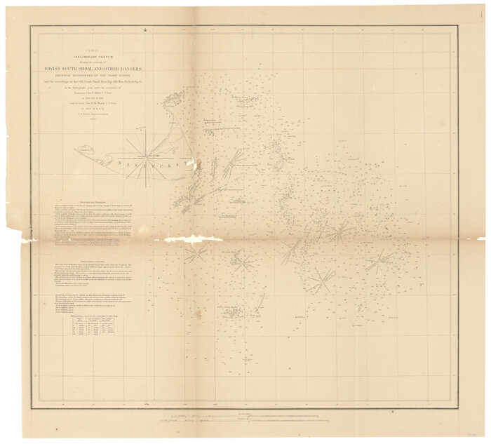
(A No. 2) Preliminary Sketch Showing the positions of Davis's South Shoal and other Dangers recently discovered by the Coast Survey and the soundings on the Old South Shoal, Bass Rip, Old Man, Pochick Rip &c.
1846

Brazos Santiago, Texas
1882

C No. 2 - Preliminary Sketch of Chincoteague Inlet and Shoals in the Vicinity - Sea Coast of Virginia
1852
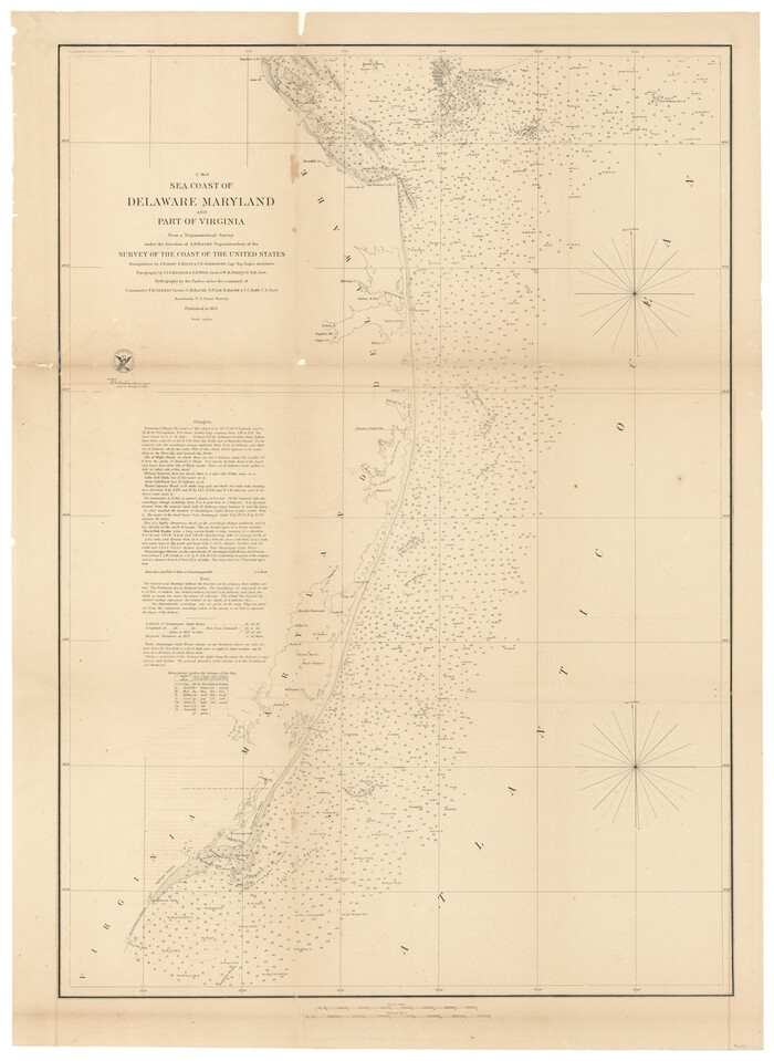
C No. 3 - Sea Coast of Delaware, Maryland, and part of Virginia
1852

City of Aransas Pass and Chart of Aransas Bay and Corpus Christi Bay, Texas
1905

City of San Francisco and its Vicinity, California
1853

D No. 3 - Sketch of Ocracoke Inlet, North Carolina
1852

D No. 4 - Reconnaissance of New River and Bar, North Carolina
1852

D No. 5 - Reconnaissance of Hatteras Inlet, North Carolina
1853
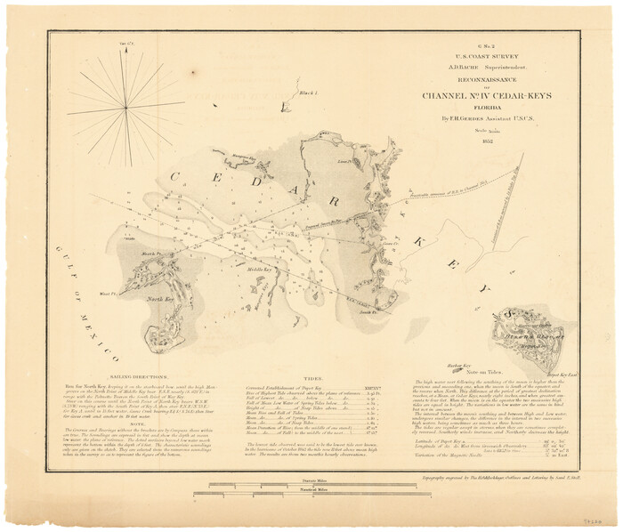
G No. 2 - Reconnaissance of Channel No. IV Cedar-Keys, Florida
1852
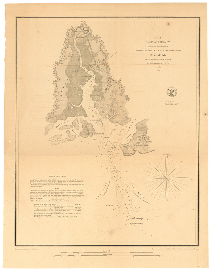
G No. 3 - Reconnaissance of the Bar and Channel of St. Marks On the Western Coast of Florida
1852
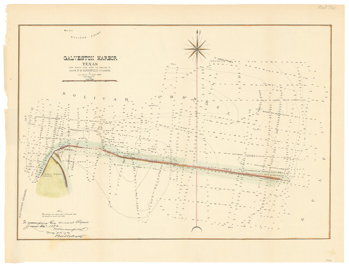
Galveston Harbor, Texas
1882

Greater Texas and the Coast Country - The Winter Garden
1911
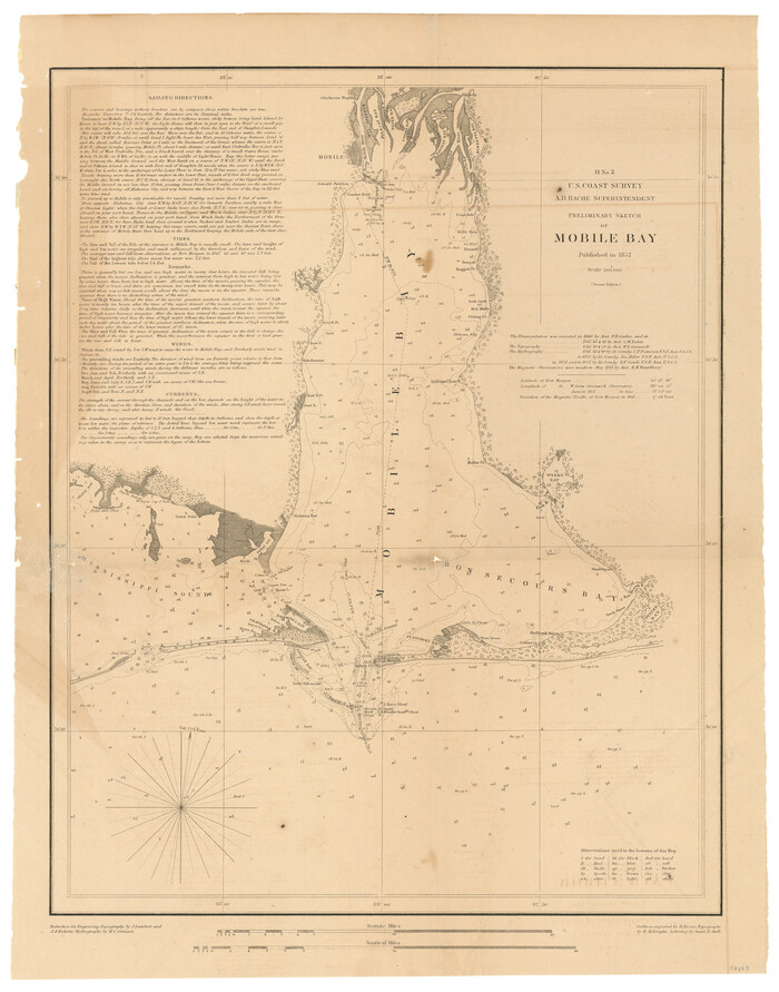
H No. 2 - Preliminary Sketch of Mobile Bay
1852
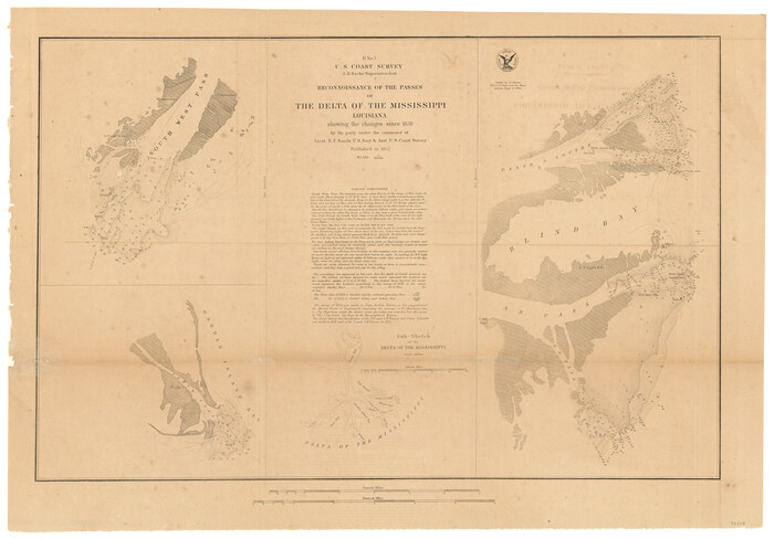
H No. 3 - Reconnoissance of the Passes of the Delta of the Mississippi, Louisiana showing the changes since 1839
1852
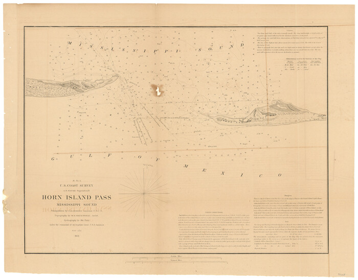
H No. 4 - Horn Island Pass, Mississippi Sound
1852

I No. 2 - Preliminary Sketch of Galveston Bay, Texas
1852

J No. 4 - Reconnaissance of Catalina Harbor And the Anchorage on the N.E. Side of the Island, California
1852

J No. 5 - Reconnaissance of San Clemente Harbor, California / Reconnaissance of Prisoner's Harbor, California / Reconnaissance of Cuyler's Harbor, Island of San Miguel, California
1852

J No. 5 - Reconnaissance of San Pedro Harbor, California
1852

J No. 8 - Reconnaissance of the Harbors of Santa Cruz, San Simeon, Coxo, and San Luis Obispo, California
1852
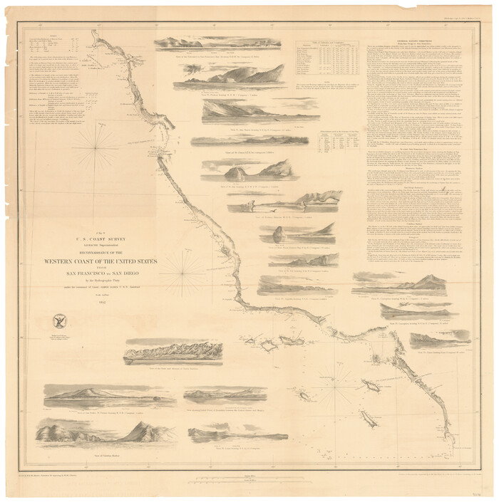
J No. 9 - Reconnaissance of the Western Coast of the United States from San Francisco to San Diego
1852

Monterey Harbor, California
1852

Port Facilities at Houston, Tex.
1924

Port Facilities at Texas City, Tex.
1924

Port Series No. 6 - The Ports of Galveston, Houston, and Texas City, Texas
1924

Report of the Superintendent of the Coast Survey showing the progress of the survey during the year 1852
1853
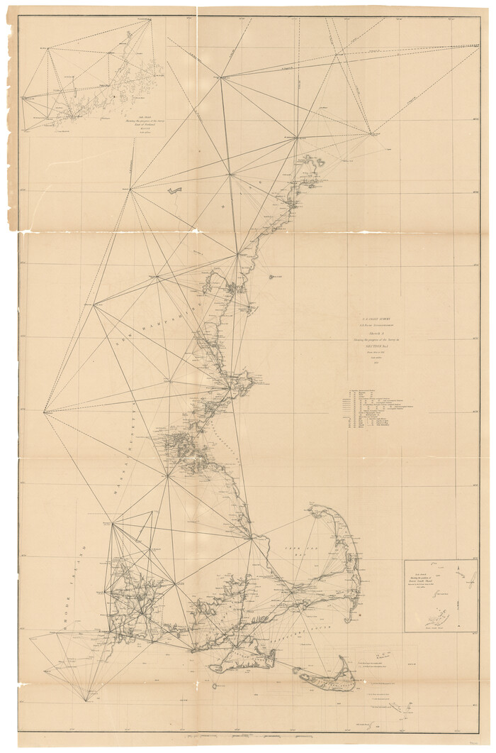
Sketch A Shewing the progress of the Survey in Section No. 1 From 1844 to 1851
1851
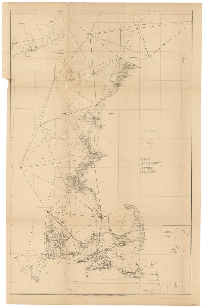
Sketch A Shewing the progress of the Survey in Section No. 1 From 1844 to 1852
1852

(A No. 2) Preliminary Sketch Showing the positions of Davis's South Shoal and other Dangers recently discovered by the Coast Survey and the soundings on the Old South Shoal, Bass Rip, Old Man, Pochick Rip &c.
1846
-
Size
19.7 x 21.8 inches
-
Map/Doc
97203
-
Creation Date
1846

Brazos Santiago, Texas
1882
-
Size
9.0 x 16.9 inches
-
Map/Doc
97186
-
Creation Date
1882

C No. 2 - Preliminary Sketch of Chincoteague Inlet and Shoals in the Vicinity - Sea Coast of Virginia
1852
-
Size
16.5 x 19.4 inches
-
Map/Doc
97206
-
Creation Date
1852

C No. 3 - Sea Coast of Delaware, Maryland, and part of Virginia
1852
-
Size
30.4 x 22.2 inches
-
Map/Doc
97207
-
Creation Date
1852

City of Aransas Pass and Chart of Aransas Bay and Corpus Christi Bay, Texas
1905
-
Size
28.4 x 21.4 inches
-
Map/Doc
97265
-
Creation Date
1905

City of San Francisco and its Vicinity, California
1853
-
Size
28.1 x 20.4 inches
-
Map/Doc
97233
-
Creation Date
1853

D No. 3 - Sketch of Ocracoke Inlet, North Carolina
1852
-
Size
17.0 x 16.1 inches
-
Map/Doc
97210
-
Creation Date
1852

D No. 4 - Reconnaissance of New River and Bar, North Carolina
1852
-
Size
19.4 x 15.7 inches
-
Map/Doc
97211
-
Creation Date
1852

D No. 5 - Reconnaissance of Hatteras Inlet, North Carolina
1853
-
Size
17.1 x 14.9 inches
-
Map/Doc
97212
-
Creation Date
1853

G No. 2 - Reconnaissance of Channel No. IV Cedar-Keys, Florida
1852
-
Size
10.8 x 12.6 inches
-
Map/Doc
97220
-
Creation Date
1852

G No. 3 - Reconnaissance of the Bar and Channel of St. Marks On the Western Coast of Florida
1852
-
Size
18.6 x 14.5 inches
-
Map/Doc
97221
-
Creation Date
1852

Galveston Harbor, Texas
1882
-
Size
15.0 x 19.5 inches
-
Map/Doc
97281
-
Creation Date
1882

Greater Texas and the Coast Country - The Winter Garden
1911
-
Size
9.4 x 4.5 inches
-
Map/Doc
97057
-
Creation Date
1911

H No. 2 - Preliminary Sketch of Mobile Bay
1852
-
Size
19.4 x 15.2 inches
-
Map/Doc
97223
-
Creation Date
1852

H No. 3 - Reconnoissance of the Passes of the Delta of the Mississippi, Louisiana showing the changes since 1839
1852
-
Size
15.9 x 22.8 inches
-
Map/Doc
97224
-
Creation Date
1852

H No. 4 - Horn Island Pass, Mississippi Sound
1852
-
Size
14.9 x 19.0 inches
-
Map/Doc
97225
-
Creation Date
1852

I No. 2 - Preliminary Sketch of Galveston Bay, Texas
1852
-
Size
22.1 x 19.0 inches
-
Map/Doc
97227
-
Creation Date
1852

J No. 4 - Reconnaissance of Catalina Harbor And the Anchorage on the N.E. Side of the Island, California
1852
-
Size
18.3 x 13.1 inches
-
Map/Doc
97231
-
Creation Date
1852

J No. 5 - Reconnaissance of San Clemente Harbor, California / Reconnaissance of Prisoner's Harbor, California / Reconnaissance of Cuyler's Harbor, Island of San Miguel, California
1852
-
Size
19.2 x 16.5 inches
-
Map/Doc
97234
-
Creation Date
1852

J No. 5 - Reconnaissance of San Pedro Harbor, California
1852
-
Size
12.3 x 15.5 inches
-
Map/Doc
97232
-
Creation Date
1852

J No. 8 - Reconnaissance of the Harbors of Santa Cruz, San Simeon, Coxo, and San Luis Obispo, California
1852
-
Size
19.2 x 16.6 inches
-
Map/Doc
97235
-
Creation Date
1852

J No. 9 - Reconnaissance of the Western Coast of the United States from San Francisco to San Diego
1852
-
Size
24.5 x 24.4 inches
-
Map/Doc
97236
-
Creation Date
1852

Monterey Harbor, California
1852
-
Size
15.7 x 13.8 inches
-
Map/Doc
97230
-
Creation Date
1852
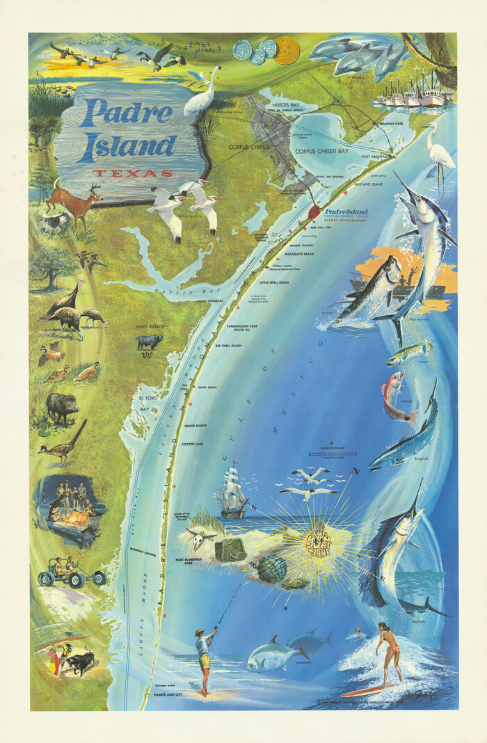
Padre Island, Texas
1968
-
Size
29.8 x 19.5 inches
-
Map/Doc
97196
-
Creation Date
1968

Port Facilities at Houston, Tex.
1924
-
Size
14.1 x 30.3 inches
-
Map/Doc
97167
-
Creation Date
1924

Port Facilities at Texas City, Tex.
1924
-
Size
13.9 x 15.9 inches
-
Map/Doc
97161
-
Creation Date
1924

Port Series No. 6 - The Ports of Galveston, Houston, and Texas City, Texas
1924
-
Map/Doc
97159
-
Creation Date
1924

Report of the Superintendent of the Coast Survey showing the progress of the survey during the year 1852
1853
-
Map/Doc
81738
-
Creation Date
1853

Sketch A Shewing the progress of the Survey in Section No. 1 From 1844 to 1851
1851
-
Size
37.1 x 24.5 inches
-
Map/Doc
97202
-
Creation Date
1851

Sketch A Shewing the progress of the Survey in Section No. 1 From 1844 to 1852
1852
-
Size
38.1 x 25.3 inches
-
Map/Doc
97200
-
Creation Date
1852