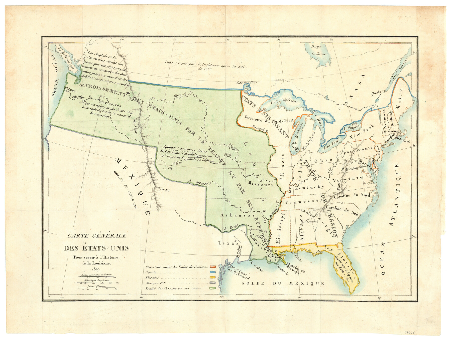
Carte Générale des États-Unis pour servir a l'Histoire de la Louisiane
-
Map/Doc
97260
-
Collection
General Map Collection
-
Object Dates
1829 (Creation Date)
-
People and Organizations
François Barbé-Marbois (Cartographer)
-
Subjects
United States
-
Height x Width
12.0 x 15.9 inches
30.5 x 40.4 cm
-
Comments
Relief shown by hachures
From François Barbé-Marbois' Histoire de la Louisiane et de la cession de cette colonie par la France aux États-Unis de l'Amérique septentrionale
See 97259 for book in which this map was attached.
Related maps
Histoire de la Louisiane et de la Cession de Cette Colonie par la France aux États-Unis de l'Amérique Septentrionale


Histoire de la Louisiane et de la Cession de Cette Colonie par la France aux États-Unis de l'Amérique Septentrionale
1829
Map/Doc 97259
Part of: General Map Collection
Montague County Working Sketch 20


Print $20.00
- Digital $50.00
Montague County Working Sketch 20
Size 23.0 x 37.0 inches
Map/Doc 71086
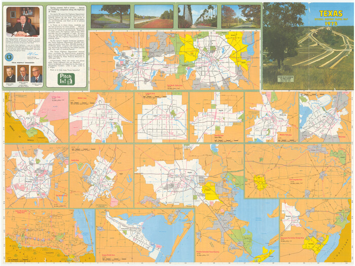
Texas Official Highway Travel Map

Digital $50.00
Texas Official Highway Travel Map
Size 27.1 x 36.2 inches
Map/Doc 94311
Polk County Rolled Sketch TMS


Print $40.00
- Digital $50.00
Polk County Rolled Sketch TMS
1937
Size 57.4 x 42.1 inches
Map/Doc 9756
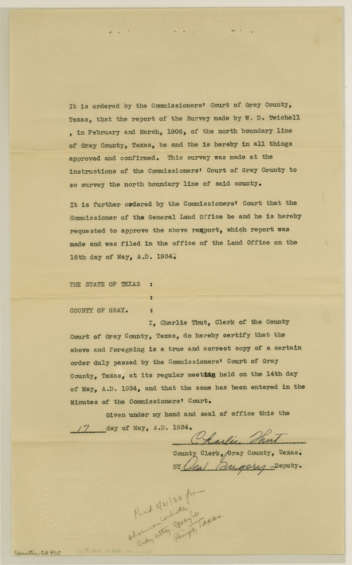
Gray County Boundary File 10

Print $15.00
- Digital $50.00
Gray County Boundary File 10
Size 14.5 x 9.0 inches
Map/Doc 53905
Webb County Boundary File 3


Print $74.00
- Digital $50.00
Webb County Boundary File 3
Size 11.3 x 8.8 inches
Map/Doc 59716
Rusk County Rolled Sketch 9


Print $20.00
- Digital $50.00
Rusk County Rolled Sketch 9
Size 25.0 x 33.0 inches
Map/Doc 7546
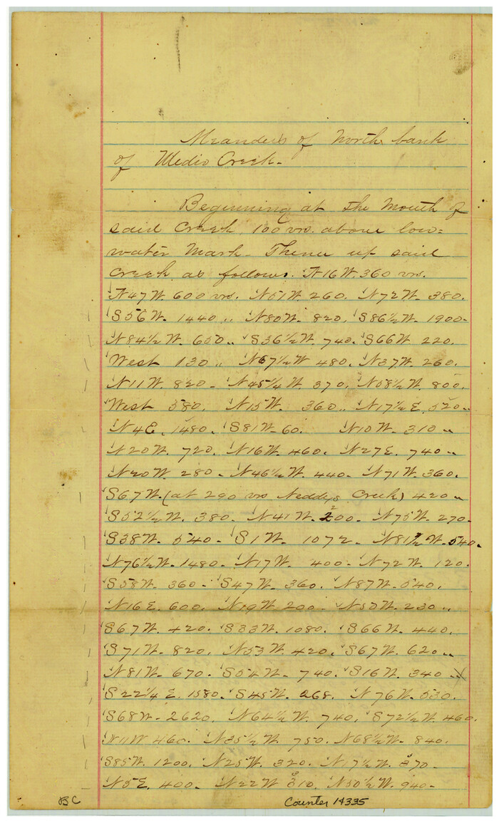
Bee County Sketch File 28

Print $6.00
- Digital $50.00
Bee County Sketch File 28
Size 14.4 x 8.7 inches
Map/Doc 14335
Nueces County NRC Article 33.136 Sketch 19
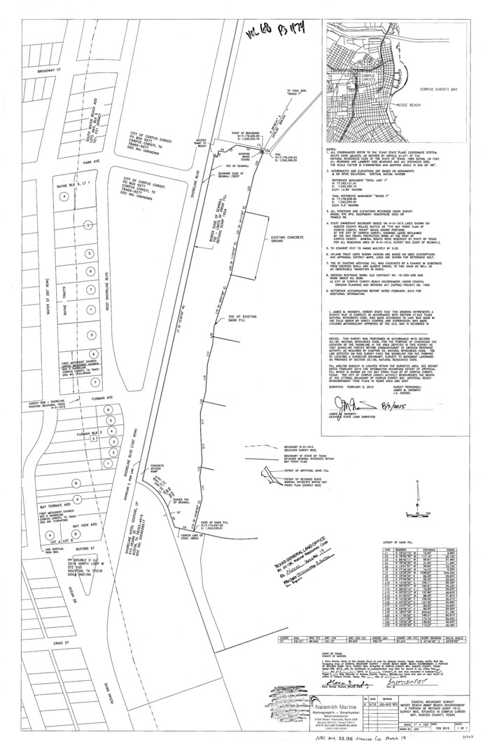

Print $38.00
- Digital $50.00
Nueces County NRC Article 33.136 Sketch 19
2015
Size 35.0 x 22.0 inches
Map/Doc 94767
Trinity River, Cooks Ferry Sheet
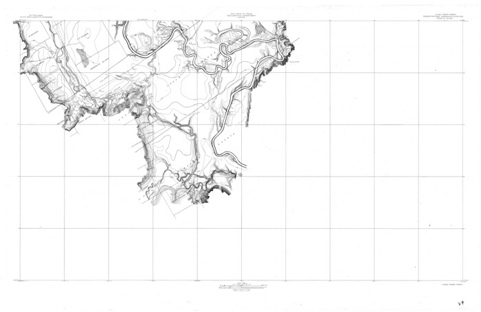

Print $40.00
- Digital $50.00
Trinity River, Cooks Ferry Sheet
1926
Size 36.5 x 56.2 inches
Map/Doc 65215
[Aerial photograph from Carancahua Bend of Caney Creek to Cedar Lake]
![78641, [Aerial photograph from Carancahua Bend of Caney Creek to Cedar Lake], General Map Collection](https://historictexasmaps.com/wmedia_w700/maps/78641.tif.jpg)
![78641, [Aerial photograph from Carancahua Bend of Caney Creek to Cedar Lake], General Map Collection](https://historictexasmaps.com/wmedia_w700/maps/78641.tif.jpg)
Print $20.00
- Digital $50.00
[Aerial photograph from Carancahua Bend of Caney Creek to Cedar Lake]
1991
Size 24.5 x 31.9 inches
Map/Doc 78641
Brewster County Working Sketch 55
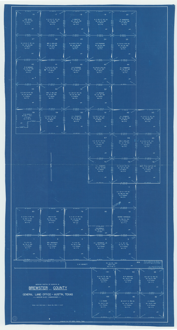

Print $40.00
- Digital $50.00
Brewster County Working Sketch 55
1953
Size 51.1 x 27.5 inches
Map/Doc 67656
Austin County Boundary File 4


Print $10.00
- Digital $50.00
Austin County Boundary File 4
Size 14.1 x 8.6 inches
Map/Doc 50244
You may also like
Gulf Oil Corp. Fishgide - Port O'Connor
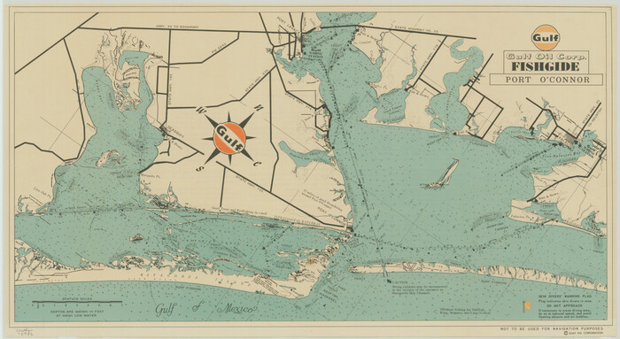

Gulf Oil Corp. Fishgide - Port O'Connor
1960
Size 12.0 x 22.0 inches
Map/Doc 75982
Eastland County Working Sketch 46


Print $20.00
- Digital $50.00
Eastland County Working Sketch 46
1980
Size 33.4 x 36.6 inches
Map/Doc 68827
General Highway Map, Starr County, Texas
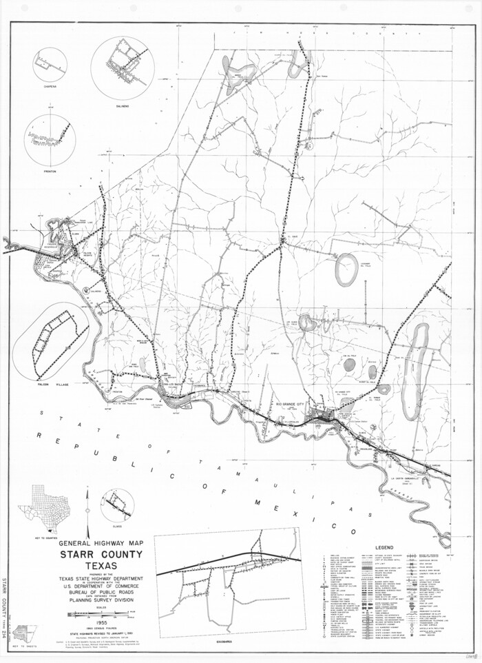

Print $20.00
General Highway Map, Starr County, Texas
1961
Size 24.9 x 18.1 inches
Map/Doc 79658
Flight Mission No. BRA-8M, Frame 81, Jefferson County
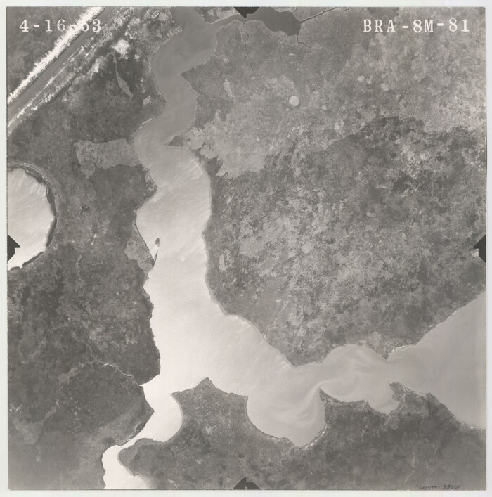

Print $20.00
- Digital $50.00
Flight Mission No. BRA-8M, Frame 81, Jefferson County
1953
Size 16.0 x 15.8 inches
Map/Doc 85601
El Paso County Rolled Sketch 52


Print $20.00
- Digital $50.00
El Paso County Rolled Sketch 52
1932
Size 18.3 x 24.3 inches
Map/Doc 5843
Bexar County Sketch File 61


Print $61.00
- Digital $50.00
Bexar County Sketch File 61
2019
Size 11.0 x 8.5 inches
Map/Doc 95709
Hudspeth County Working Sketch 27
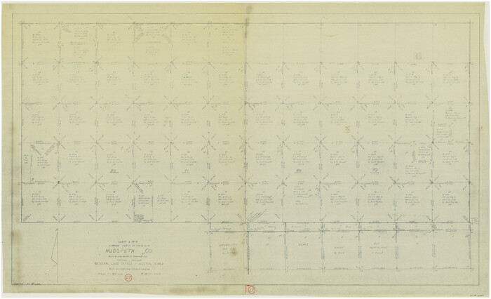

Print $40.00
- Digital $50.00
Hudspeth County Working Sketch 27
Size 31.0 x 51.2 inches
Map/Doc 66309
Pecos County Sketch File 49b
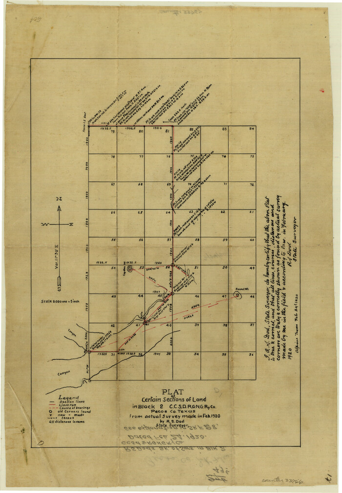

Print $6.00
- Digital $50.00
Pecos County Sketch File 49b
1920
Size 16.9 x 11.8 inches
Map/Doc 33766
Outer Continental Shelf Leasing Maps (Louisiana Offshore Operations)
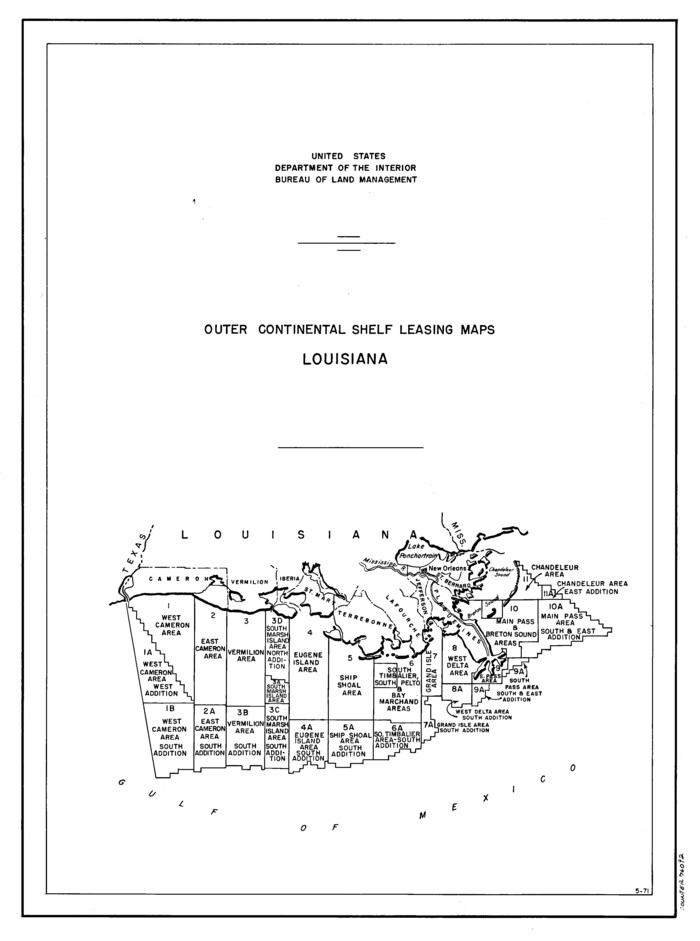

Print $20.00
- Digital $50.00
Outer Continental Shelf Leasing Maps (Louisiana Offshore Operations)
1971
Size 20.2 x 15.0 inches
Map/Doc 76092
Liberty County Sketch File 7


Print $4.00
- Digital $50.00
Liberty County Sketch File 7
Size 13.4 x 6.2 inches
Map/Doc 29897
Reeves County Working Sketch 29


Print $20.00
- Digital $50.00
Reeves County Working Sketch 29
Size 20.1 x 41.5 inches
Map/Doc 63472
Coke County Working Sketch 16
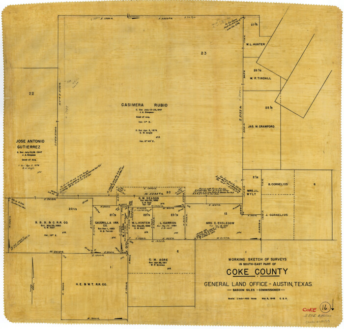

Print $20.00
- Digital $50.00
Coke County Working Sketch 16
1948
Size 23.4 x 24.5 inches
Map/Doc 68053
