Ward County Rolled Sketch 24E
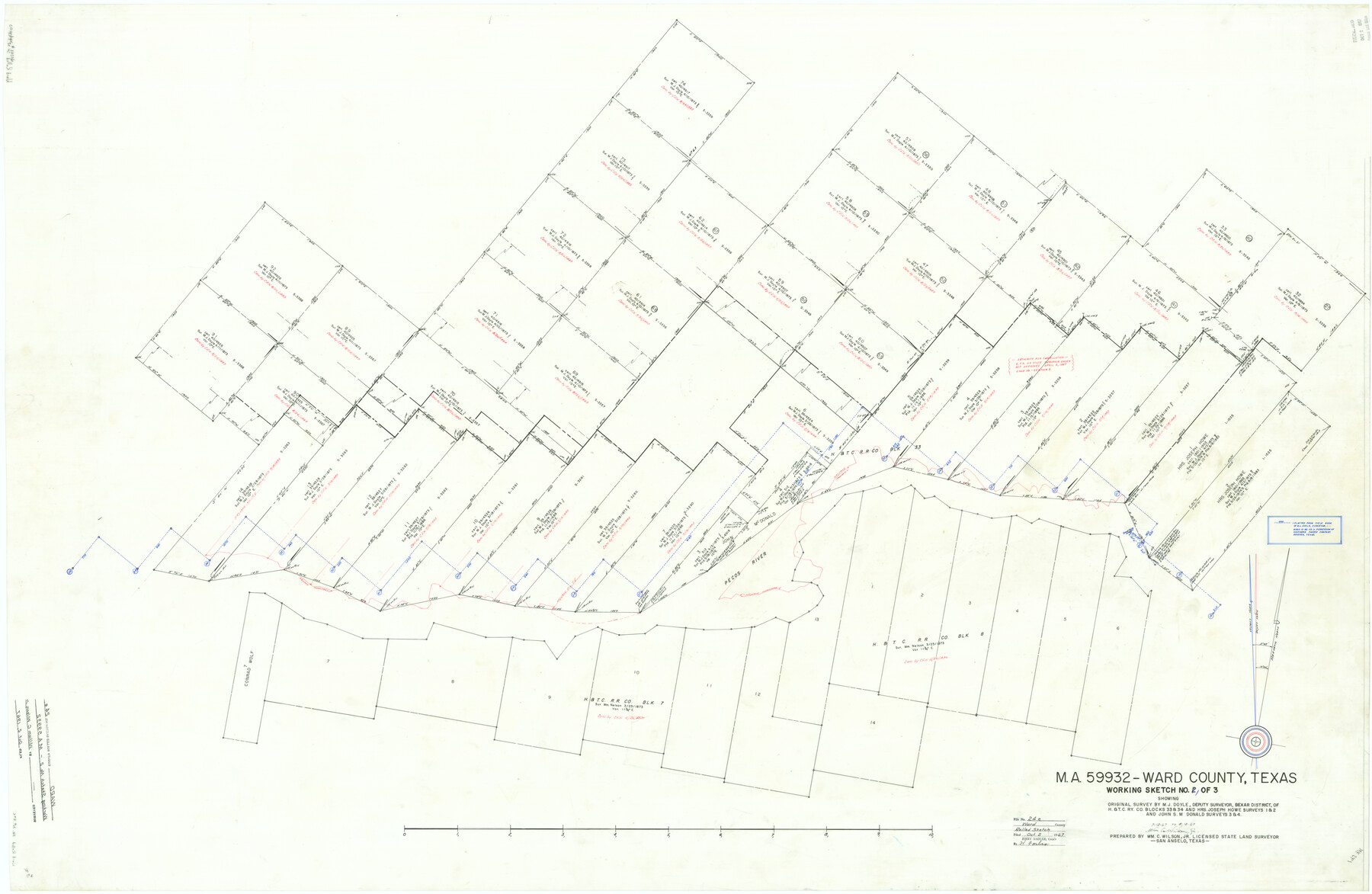
MA-59932 - Ward County, Texas, Working Sketch 2 of 3 showing original survey by M.J. Doyle, Deputy Surveyor, Bexar District, of H. & T. C. Ry. Co. Blocks 33 & 34 and Hrs. Joseph Howe surveys 1 & 2 and John S.M. Donald surveys 3 & 4
-
Map/Doc
10116
-
Collection
General Map Collection
-
Object Dates
1967/8/12 (Creation Date)
1967/10/2 (File Date)
-
People and Organizations
Wm. C. Wilson, Jr. (Surveyor/Engineer)
-
Counties
Ward Reeves Pecos
-
Subjects
Surveying Rolled Sketch
-
Height x Width
42.3 x 64.9 inches
107.4 x 164.8 cm
-
Medium
mylar, print
Part of: General Map Collection
Atascosa County Sketch File 14

Print $40.00
- Digital $50.00
Atascosa County Sketch File 14
1870
Size 12.5 x 15.0 inches
Map/Doc 13773
Chambers County Rolled Sketch 26

Print $20.00
- Digital $50.00
Chambers County Rolled Sketch 26
1947
Size 12.7 x 19.9 inches
Map/Doc 5428
Pecos County Sketch File 27c

Print $4.00
- Digital $50.00
Pecos County Sketch File 27c
Size 11.1 x 9.1 inches
Map/Doc 33681
Chambers County Working Sketch 11

Print $20.00
- Digital $50.00
Chambers County Working Sketch 11
1952
Size 40.6 x 26.7 inches
Map/Doc 67994
Photo Index of Texas Coast - Sheet 5 of 6

Print $20.00
- Digital $50.00
Photo Index of Texas Coast - Sheet 5 of 6
1954
Size 20.0 x 24.0 inches
Map/Doc 83443
Navigation Maps of Gulf Intracoastal Waterway, Port Arthur to Brownsville, Texas

Print $4.00
- Digital $50.00
Navigation Maps of Gulf Intracoastal Waterway, Port Arthur to Brownsville, Texas
1951
Size 16.6 x 21.5 inches
Map/Doc 65430
Flight Mission No. CGN-3P, Frame 22, San Patricio County

Print $20.00
- Digital $50.00
Flight Mission No. CGN-3P, Frame 22, San Patricio County
1956
Size 18.6 x 22.3 inches
Map/Doc 86980
Matagorda County NRC Article 33.136 Sketch 5

Print $28.00
- Digital $50.00
Matagorda County NRC Article 33.136 Sketch 5
2009
Size 24.2 x 35.0 inches
Map/Doc 95006
Hardeman County

Print $20.00
- Digital $50.00
Hardeman County
1935
Size 42.8 x 40.0 inches
Map/Doc 77302
Brazoria County Rolled Sketch 49

Print $20.00
- Digital $50.00
Brazoria County Rolled Sketch 49
1948
Size 23.8 x 36.2 inches
Map/Doc 5184
Tyler County Working Sketch 5

Print $20.00
- Digital $50.00
Tyler County Working Sketch 5
1928
Size 19.4 x 21.2 inches
Map/Doc 69475

You may also like
Starr County Working Sketch 4

Print $20.00
- Digital $50.00
Starr County Working Sketch 4
1927
Size 38.5 x 28.9 inches
Map/Doc 63920
Shelby County Sketch File 8

Print $4.00
- Digital $50.00
Shelby County Sketch File 8
Size 10.1 x 7.9 inches
Map/Doc 36607
Presidio County Rolled Sketch 131A

Print $20.00
- Digital $50.00
Presidio County Rolled Sketch 131A
Size 17.5 x 14.1 inches
Map/Doc 10707
Jefferson County NRC Article 33.136 Sketch 11

Print $46.00
- Digital $50.00
Jefferson County NRC Article 33.136 Sketch 11
2012
Size 24.0 x 36.0 inches
Map/Doc 95011
[Sketch showing parts of H. & G. N. RR. Co. Blocks 7 and 8, K. Aycock Block 4, G. H. & H. RR. Co. Block 5 and various surveys west]
![90871, [Sketch showing parts of H. & G. N. RR. Co. Blocks 7 and 8, K. Aycock Block 4, G. H. & H. RR. Co. Block 5 and various surveys west], Twichell Survey Records](https://historictexasmaps.com/wmedia_w700/maps/90871-2.tif.jpg)
Print $20.00
- Digital $50.00
[Sketch showing parts of H. & G. N. RR. Co. Blocks 7 and 8, K. Aycock Block 4, G. H. & H. RR. Co. Block 5 and various surveys west]
1902
Size 25.5 x 17.3 inches
Map/Doc 90871
Polk County Boundary File 2

Print $8.00
- Digital $50.00
Polk County Boundary File 2
Size 14.2 x 8.7 inches
Map/Doc 57924
General Highway Map, Coryell County, Texas

Print $20.00
General Highway Map, Coryell County, Texas
1940
Size 18.4 x 25.4 inches
Map/Doc 79059
Terrell County Working Sketch 23

Print $20.00
- Digital $50.00
Terrell County Working Sketch 23
1940
Size 24.1 x 19.1 inches
Map/Doc 62173
Flight Mission No. CUG-2P, Frame 69, Kleberg County

Print $20.00
- Digital $50.00
Flight Mission No. CUG-2P, Frame 69, Kleberg County
1956
Size 18.4 x 22.2 inches
Map/Doc 86206
San Patricio County Sketch File 34

Print $4.00
- Digital $50.00
San Patricio County Sketch File 34
1961
Size 11.4 x 8.8 inches
Map/Doc 36119
Flight Mission No. CGI-3N, Frame 135, Cameron County

Print $20.00
- Digital $50.00
Flight Mission No. CGI-3N, Frame 135, Cameron County
1954
Size 18.7 x 22.1 inches
Map/Doc 84608
Knox County Rolled Sketch 25

Print $20.00
- Digital $50.00
Knox County Rolled Sketch 25
2007
Size 11.4 x 10.8 inches
Map/Doc 88749