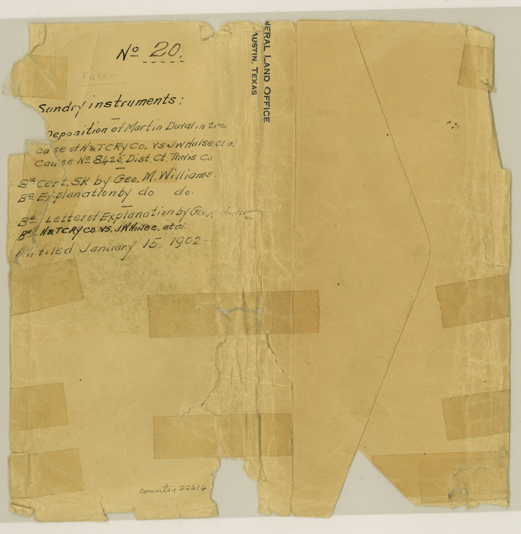
Fisher County Sketch File 20
[Multiple documents and correspondence regarding H. & T. C. RR. Co. vs. J. W. Hulse, et al]
-
Map/Doc
22616
-
Collection
General Map Collection
-
Object Dates
1902/1/15 (File Date)
1883 (Survey Date)
1891 (Survey Date)
-
People and Organizations
Martin Duvall (Surveyor/Engineer)
E.A. Williams (Surveyor/Engineer)
W.C. Breedlove (Surveyor/Engineer)
Harry Sappington (Surveyor/Engineer)
George M. Williams (Surveyor/Engineer)
-
Counties
Fisher
-
Subjects
Surveying Sketch File
-
Height x Width
9.3 x 9.1 inches
23.6 x 23.1 cm
-
Medium
paper, print
-
Features
Little Elm Creek
Big Elm Creek
Cottonwood Creek
Clear Fork [of Brazos River]
Phantom Hill
Sweetwater Creek
Elm Fork
Part of: General Map Collection
Collin County Boundary File 18b

Print $24.00
- Digital $50.00
Collin County Boundary File 18b
Size 12.7 x 8.1 inches
Map/Doc 51721
Tom Green County Sketch File 84

Print $20.00
- Digital $50.00
Tom Green County Sketch File 84
1890
Size 20.6 x 18.5 inches
Map/Doc 12456
Map of Marion County

Print $20.00
- Digital $50.00
Map of Marion County
1920
Size 29.6 x 42.7 inches
Map/Doc 66917
Flight Mission No. DAG-21K, Frame 130, Matagorda County

Print $20.00
- Digital $50.00
Flight Mission No. DAG-21K, Frame 130, Matagorda County
1952
Size 18.5 x 22.4 inches
Map/Doc 86456
Map of Starr County

Print $20.00
- Digital $50.00
Map of Starr County
1896
Size 43.7 x 26.9 inches
Map/Doc 4050
Bandera County Rolled Sketch 10

Print $20.00
- Digital $50.00
Bandera County Rolled Sketch 10
1998
Size 35.4 x 38.1 inches
Map/Doc 8440
Bandera County Working Sketch 4

Print $20.00
- Digital $50.00
Bandera County Working Sketch 4
1914
Size 18.6 x 19.3 inches
Map/Doc 67597
Stonewall County Sketch File 17

Print $6.00
- Digital $50.00
Stonewall County Sketch File 17
1902
Size 16.5 x 10.6 inches
Map/Doc 37274
Hays County Sketch File 15

Print $40.00
- Digital $50.00
Hays County Sketch File 15
1871
Size 12.0 x 16.6 inches
Map/Doc 26225
Schleicher County Working Sketch 17

Print $20.00
- Digital $50.00
Schleicher County Working Sketch 17
1946
Size 21.8 x 23.1 inches
Map/Doc 63819
West Part Presidio Co.

Print $20.00
- Digital $50.00
West Part Presidio Co.
1974
Size 42.1 x 33.3 inches
Map/Doc 73267
Amistad International Reservoir on Rio Grande Key Sheet

Print $20.00
- Digital $50.00
Amistad International Reservoir on Rio Grande Key Sheet
1960
Size 13.0 x 32.4 inches
Map/Doc 73345
You may also like
Leon County Working Sketch 18

Print $20.00
- Digital $50.00
Leon County Working Sketch 18
1960
Size 43.2 x 36.8 inches
Map/Doc 70417
Val Verde County Sketch File Z17

Print $24.00
- Digital $50.00
Val Verde County Sketch File Z17
1907
Size 23.7 x 17.5 inches
Map/Doc 12558
Waller County Sketch File 10

Print $4.00
- Digital $50.00
Waller County Sketch File 10
1912
Size 12.4 x 8.6 inches
Map/Doc 39612
Map showing the environs of Brazos Islnd., Texas

Print $20.00
- Digital $50.00
Map showing the environs of Brazos Islnd., Texas
1864
Size 27.1 x 18.2 inches
Map/Doc 72990
Brazoria County Working Sketch 29

Print $20.00
- Digital $50.00
Brazoria County Working Sketch 29
1971
Size 30.6 x 28.3 inches
Map/Doc 67514
[Sketch showing Blocks 5, M-20, 22 and strip of Block BB]
![91723, [Sketch showing Blocks 5, M-20, 22 and strip of Block BB], Twichell Survey Records](https://historictexasmaps.com/wmedia_w700/maps/91723-1.tif.jpg)
Print $2.00
- Digital $50.00
[Sketch showing Blocks 5, M-20, 22 and strip of Block BB]
Size 7.1 x 10.4 inches
Map/Doc 91723
Flight Mission No. CGI-3N, Frame 123, Cameron County

Print $20.00
- Digital $50.00
Flight Mission No. CGI-3N, Frame 123, Cameron County
1954
Size 18.6 x 22.2 inches
Map/Doc 84596
Stonewall County Rolled Sketch 24B

Print $40.00
- Digital $50.00
Stonewall County Rolled Sketch 24B
1954
Size 50.1 x 43.1 inches
Map/Doc 9964
Brewster County Rolled Sketch 114

Print $20.00
- Digital $50.00
Brewster County Rolled Sketch 114
1964
Size 11.5 x 17.5 inches
Map/Doc 5287
Orange County Sketch File 40

Print $20.00
- Digital $50.00
Orange County Sketch File 40
1895
Size 18.2 x 22.7 inches
Map/Doc 12128
Zavala County Rolled Sketch 18

Print $20.00
- Digital $50.00
Zavala County Rolled Sketch 18
Size 39.4 x 27.3 inches
Map/Doc 8322
Ownership Map NW 1/4 Lubbock County

Print $20.00
- Digital $50.00
Ownership Map NW 1/4 Lubbock County
1926
Size 32.1 x 39.6 inches
Map/Doc 89696