[Maps of surveys in Reeves & Culberson Cos]
N-1-51
-
Map/Doc
61144
-
Collection
General Map Collection
-
Object Dates
1937 (Creation Date)
-
Counties
Culberson
-
Height x Width
30.9 x 25.1 inches
78.5 x 63.8 cm
Part of: General Map Collection
Aransas County Working Sketch 18


Print $20.00
- Digital $50.00
Aransas County Working Sketch 18
1961
Size 36.0 x 30.7 inches
Map/Doc 67185
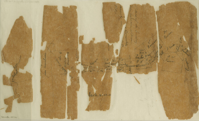
Karnes County Boundary File 5a

Print $4.00
- Digital $50.00
Karnes County Boundary File 5a
Size 8.1 x 13.3 inches
Map/Doc 55721
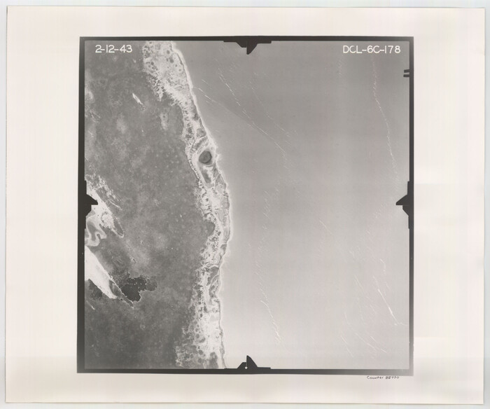
Flight Mission No. DCL-6C, Frame 178, Kenedy County

Print $20.00
- Digital $50.00
Flight Mission No. DCL-6C, Frame 178, Kenedy County
1943
Size 18.7 x 22.4 inches
Map/Doc 85990
[Surveys in the Nacogdoches District, from the Sabine River to Cowleach Fork]
![282, [Surveys in the Nacogdoches District, from the Sabine River to Cowleach Fork], General Map Collection](https://historictexasmaps.com/wmedia_w700/maps/282.tif.jpg)
![282, [Surveys in the Nacogdoches District, from the Sabine River to Cowleach Fork], General Map Collection](https://historictexasmaps.com/wmedia_w700/maps/282.tif.jpg)
Print $3.00
- Digital $50.00
[Surveys in the Nacogdoches District, from the Sabine River to Cowleach Fork]
Size 15.6 x 11.5 inches
Map/Doc 282
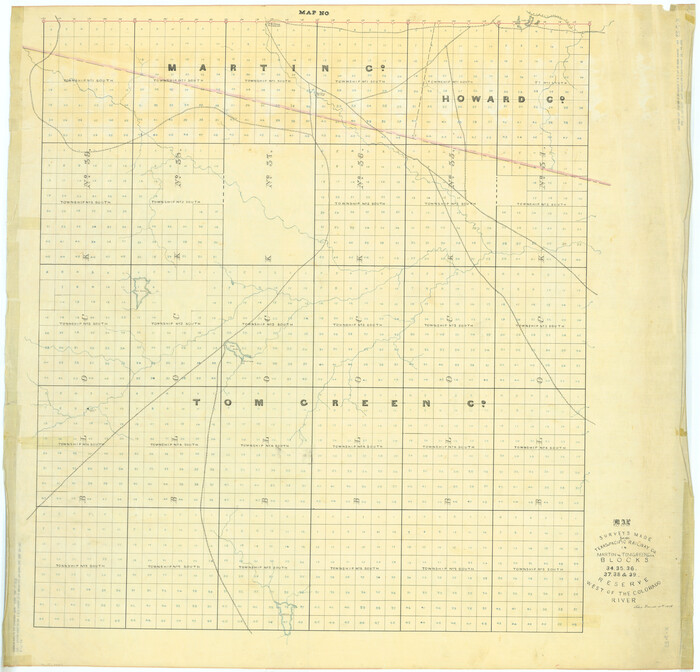
Map of Surveys Made for the T&PRR in Martin & Tom Green Counties, Blocks 34-39, Reserve West of the Colorado River

Print $20.00
- Digital $50.00
Map of Surveys Made for the T&PRR in Martin & Tom Green Counties, Blocks 34-39, Reserve West of the Colorado River
1876
Size 41.9 x 43.7 inches
Map/Doc 2226
Nueces County Rolled Sketch 111


Print $20.00
- Digital $50.00
Nueces County Rolled Sketch 111
1991
Size 24.6 x 36.1 inches
Map/Doc 7119
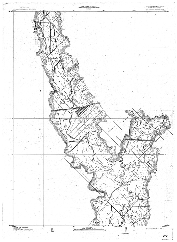
Trinity River, Barnett Crossing Sheet/Brushy and Kings Creek

Print $20.00
- Digital $50.00
Trinity River, Barnett Crossing Sheet/Brushy and Kings Creek
1927
Size 41.3 x 30.2 inches
Map/Doc 65221
Midland County Working Sketch 12


Print $20.00
- Digital $50.00
Midland County Working Sketch 12
1951
Size 23.1 x 19.0 inches
Map/Doc 70992
Atascosa County Sketch File 19
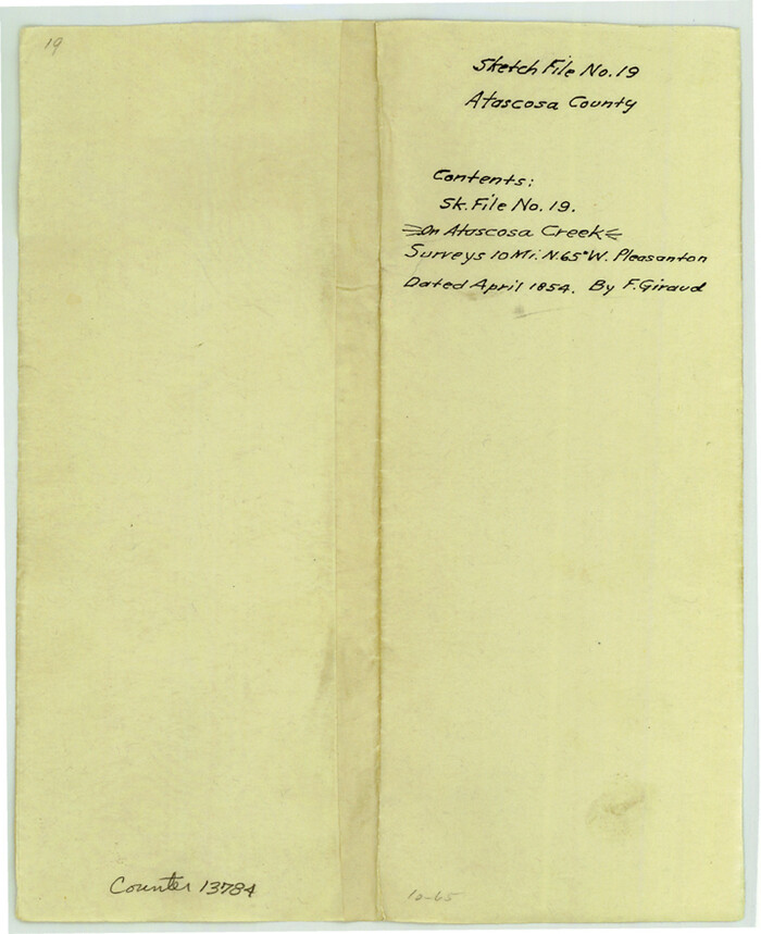

Print $6.00
- Digital $50.00
Atascosa County Sketch File 19
1854
Size 8.8 x 7.2 inches
Map/Doc 13784
Dimmit County Sketch File 39
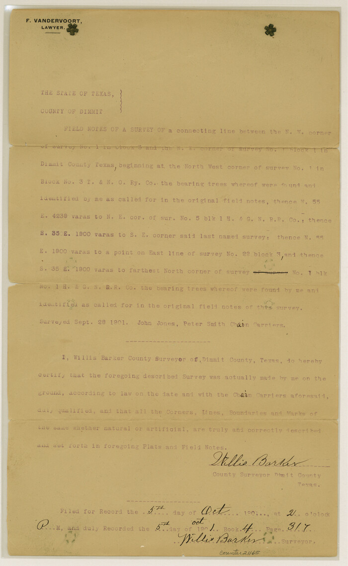

Print $8.00
- Digital $50.00
Dimmit County Sketch File 39
1901
Size 14.6 x 9.0 inches
Map/Doc 21165
[Sketch for Mineral Application 13436 - 13441]
![65582, [Sketch for Mineral Application 13436 - 13441], General Map Collection](https://historictexasmaps.com/wmedia_w700/maps/65582.tif.jpg)
![65582, [Sketch for Mineral Application 13436 - 13441], General Map Collection](https://historictexasmaps.com/wmedia_w700/maps/65582.tif.jpg)
Print $40.00
- Digital $50.00
[Sketch for Mineral Application 13436 - 13441]
1925
Size 56.8 x 42.5 inches
Map/Doc 65582
Harrison County Working Sketch 33
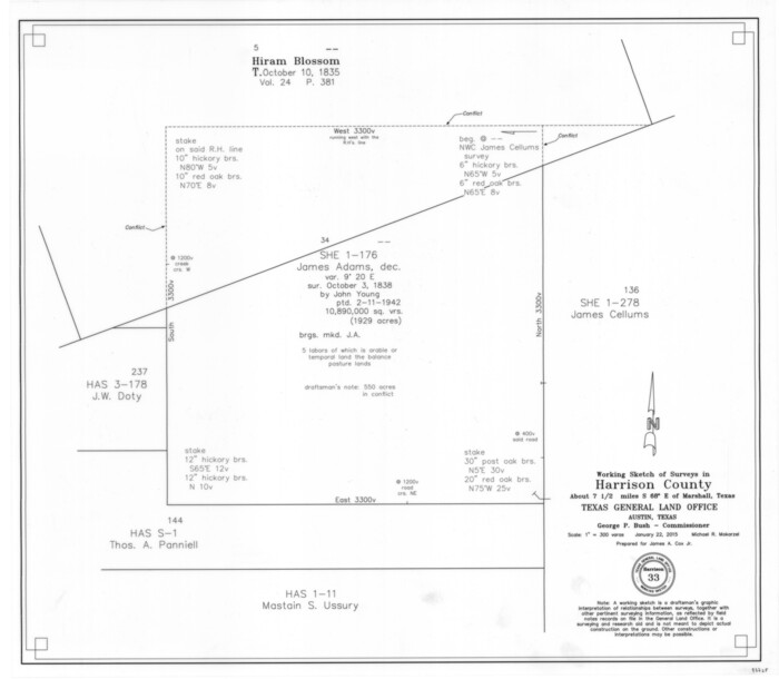

Print $20.00
- Digital $50.00
Harrison County Working Sketch 33
2015
Size 19.8 x 22.8 inches
Map/Doc 93725
You may also like
General Highway Map, Bowie County, Texas
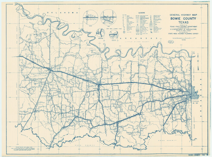

Print $20.00
General Highway Map, Bowie County, Texas
1940
Size 18.4 x 24.9 inches
Map/Doc 79023
Jasper County Sketch File 7
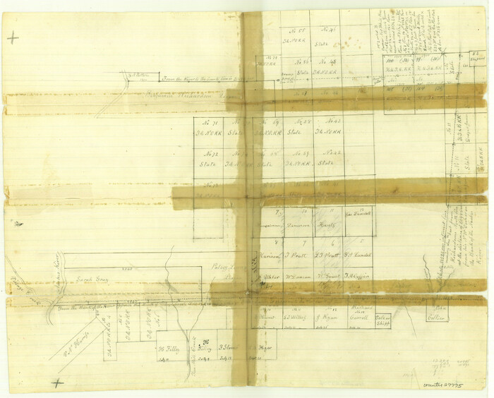

Print $22.00
- Digital $50.00
Jasper County Sketch File 7
Size 12.4 x 15.4 inches
Map/Doc 27775
Comanche County Working Sketch 14
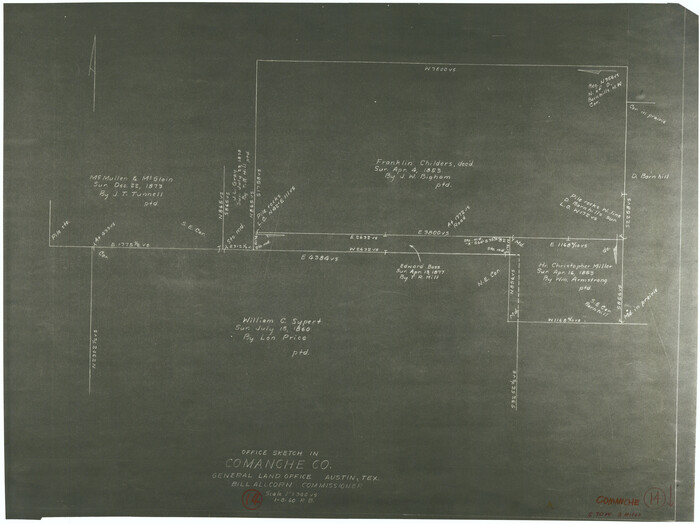

Print $20.00
- Digital $50.00
Comanche County Working Sketch 14
1960
Size 17.9 x 23.9 inches
Map/Doc 68148
Lipscomb County Rolled Sketch 8
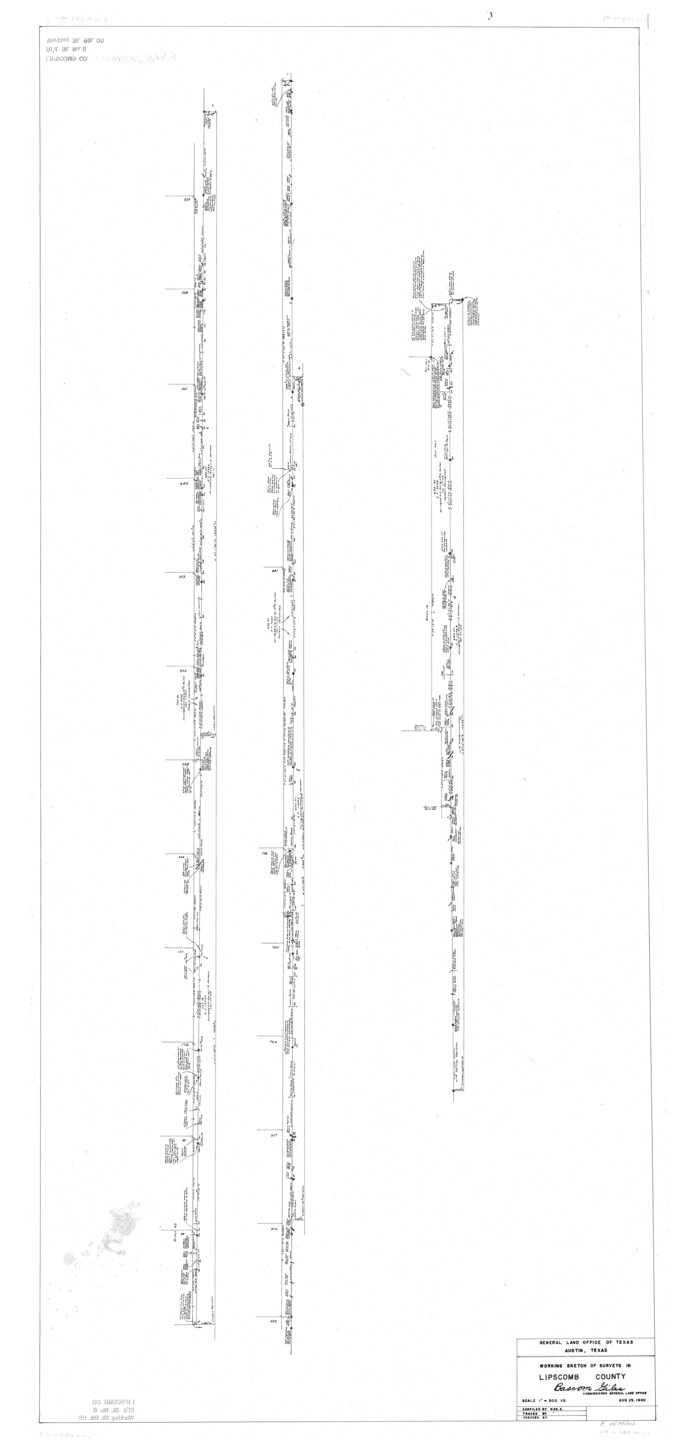

Print $40.00
- Digital $50.00
Lipscomb County Rolled Sketch 8
1940
Size 59.2 x 28.5 inches
Map/Doc 9453
Map of a part of the North Portion of Harris County
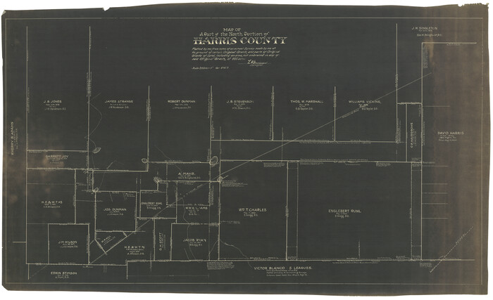

Print $40.00
- Digital $50.00
Map of a part of the North Portion of Harris County
Size 34.5 x 57.0 inches
Map/Doc 2049
Calhoun County NRC Article 33.136 Location Key Sheet
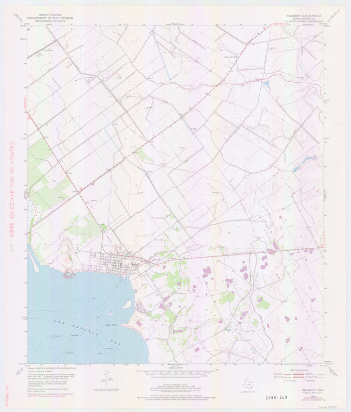

Print $20.00
- Digital $50.00
Calhoun County NRC Article 33.136 Location Key Sheet
1973
Size 27.0 x 23.0 inches
Map/Doc 87907
Live Oak County Boundary File 60b


Print $10.00
- Digital $50.00
Live Oak County Boundary File 60b
Size 12.8 x 8.3 inches
Map/Doc 56416
Glasscock County Rolled Sketch 15


Print $20.00
- Digital $50.00
Glasscock County Rolled Sketch 15
1964
Size 36.5 x 35.8 inches
Map/Doc 9059
Hall County Working Sketch 2


Print $40.00
- Digital $50.00
Hall County Working Sketch 2
1907
Size 40.9 x 48.4 inches
Map/Doc 63330
Pecos County Sketch File 27c
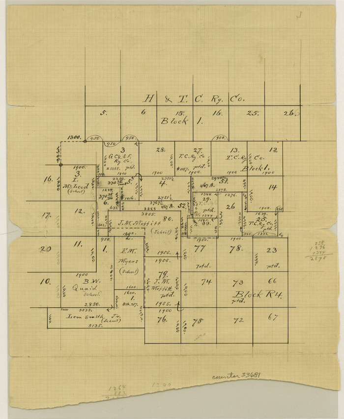

Print $4.00
- Digital $50.00
Pecos County Sketch File 27c
Size 11.1 x 9.1 inches
Map/Doc 33681
![61144, [Maps of surveys in Reeves & Culberson Cos], General Map Collection](https://historictexasmaps.com/wmedia_w1800h1800/maps/61144.tif.jpg)

