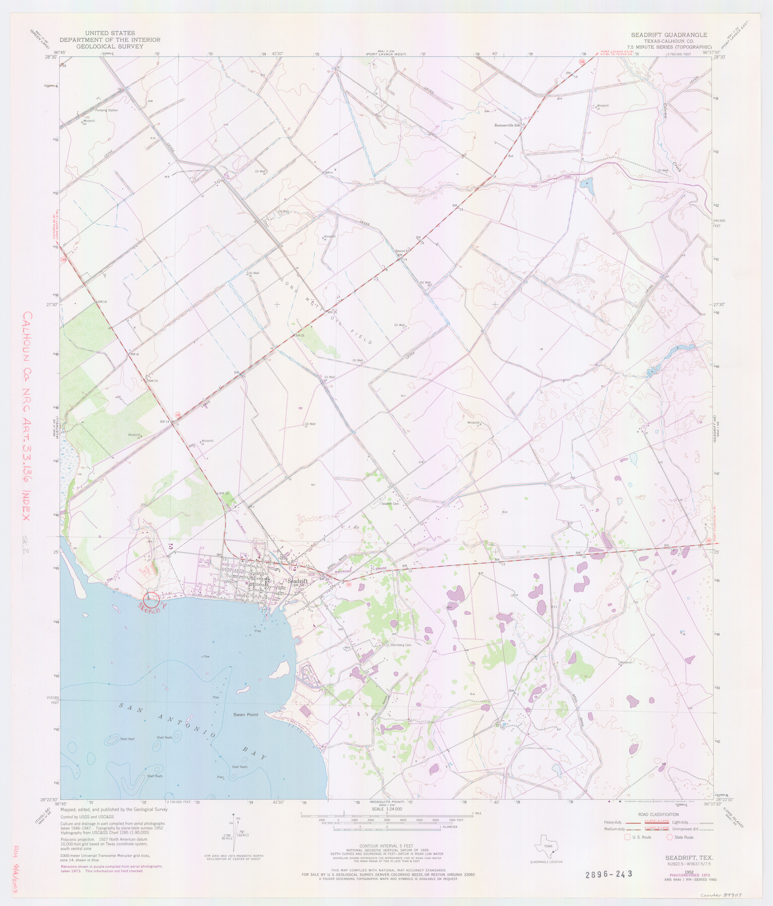
Calhoun County NRC Article 33.136 Location Key Sheet
Keller Bay Quadrangle
-
Map/Doc
87907
-
Collection
General Map Collection
-
Object Dates
1973 (Creation Date)
-
People and Organizations
U. S. Geological Survey (Publisher)
U. S. Geological Survey (Printer)
-
Counties
Calhoun
-
Subjects
Surveying CBS
-
Height x Width
27.0 x 23.0 inches
68.6 x 58.4 cm
Part of: General Map Collection
Flight Mission No. CRC-4R, Frame 108, Chambers County

Print $20.00
- Digital $50.00
Flight Mission No. CRC-4R, Frame 108, Chambers County
1956
Size 18.7 x 22.4 inches
Map/Doc 84905
Wharton County Rolled Sketch 3

Print $20.00
- Digital $50.00
Wharton County Rolled Sketch 3
Size 28.9 x 31.4 inches
Map/Doc 8228
Flight Mission No. CRC-1R, Frame 37, Chambers County

Print $20.00
- Digital $50.00
Flight Mission No. CRC-1R, Frame 37, Chambers County
1956
Size 18.7 x 22.5 inches
Map/Doc 84705
Kinney County Working Sketch 29

Print $20.00
- Digital $50.00
Kinney County Working Sketch 29
1959
Size 37.8 x 33.8 inches
Map/Doc 70211
Clay County Sketch File 9a

Print $6.00
- Digital $50.00
Clay County Sketch File 9a
1855
Size 10.7 x 6.1 inches
Map/Doc 18403
Garza County Sketch File 6

Print $8.00
- Digital $50.00
Garza County Sketch File 6
1900
Size 14.2 x 8.7 inches
Map/Doc 24056
Brown County Sketch File 11a

Print $6.00
- Digital $50.00
Brown County Sketch File 11a
1872
Size 6.6 x 3.6 inches
Map/Doc 16599
Henderson County Rolled Sketch 11

Print $20.00
- Digital $50.00
Henderson County Rolled Sketch 11
1915
Size 29.1 x 42.2 inches
Map/Doc 76150
Blanco County Sketch File 36

Print $8.00
- Digital $50.00
Blanco County Sketch File 36
1889
Size 11.2 x 8.8 inches
Map/Doc 14642
Kimble County Rolled Sketch 26

Print $20.00
- Digital $50.00
Kimble County Rolled Sketch 26
1960
Size 26.4 x 21.6 inches
Map/Doc 6516
Brassos Santiago

Print $20.00
- Digital $50.00
Brassos Santiago
1853
Size 25.3 x 18.3 inches
Map/Doc 72913
Map of the City of Aransas Pass

Print $20.00
- Digital $50.00
Map of the City of Aransas Pass
1905
Size 28.3 x 21.4 inches
Map/Doc 97266
You may also like
Plat in Pecos County, Texas

Print $20.00
- Digital $50.00
Plat in Pecos County, Texas
Size 38.7 x 37.5 inches
Map/Doc 89834
[I. & G. N. RR. Co. Blk. 6, Blks M8, M9 and M10]
![90267, [I. & G. N. RR. Co. Blk. 6, Blks M8, M9 and M10], Twichell Survey Records](https://historictexasmaps.com/wmedia_w700/maps/90267-1.tif.jpg)
Print $20.00
- Digital $50.00
[I. & G. N. RR. Co. Blk. 6, Blks M8, M9 and M10]
Size 34.2 x 20.3 inches
Map/Doc 90267
Atascosa County Working Sketch 1a

Print $20.00
- Digital $50.00
Atascosa County Working Sketch 1a
1908
Size 35.8 x 40.2 inches
Map/Doc 67194
Stephens County Sketch File 14

Print $6.00
- Digital $50.00
Stephens County Sketch File 14
Size 8.2 x 5.9 inches
Map/Doc 37065
Brazoria County Rolled Sketch 46

Print $40.00
- Digital $50.00
Brazoria County Rolled Sketch 46
1950
Size 30.7 x 57.3 inches
Map/Doc 8462
[PSL Blocks A54 & A57]
![89977, [PSL Blocks A54 & A57], Twichell Survey Records](https://historictexasmaps.com/wmedia_w700/maps/89977-1.tif.jpg)
Print $20.00
- Digital $50.00
[PSL Blocks A54 & A57]
Size 23.0 x 28.0 inches
Map/Doc 89977
The Republic County of Gonzales. January 29, 1842

Print $20.00
The Republic County of Gonzales. January 29, 1842
2020
Size 14.7 x 21.7 inches
Map/Doc 96157
[FT. W. & R. G. Ry. Right of Way Map, Winchell to Brady, McCulloch County, Texas]
![61415, [FT. W. & R. G. Ry. Right of Way Map, Winchell to Brady, McCulloch County, Texas], General Map Collection](https://historictexasmaps.com/wmedia_w700/maps/61415.tif.jpg)
Print $40.00
- Digital $50.00
[FT. W. & R. G. Ry. Right of Way Map, Winchell to Brady, McCulloch County, Texas]
1918
Size 38.2 x 122.0 inches
Map/Doc 61415
Flight Mission No. CRC-5R, Frame 39, Chambers County

Print $20.00
- Digital $50.00
Flight Mission No. CRC-5R, Frame 39, Chambers County
1956
Size 18.5 x 22.3 inches
Map/Doc 84958
Portion of States Submerged Area in Matagorda Bay

Print $20.00
- Digital $50.00
Portion of States Submerged Area in Matagorda Bay
1921
Size 15.7 x 15.1 inches
Map/Doc 2950
Atascosa County Boundary File 7

Print $20.00
- Digital $50.00
Atascosa County Boundary File 7
Size 8.2 x 10.1 inches
Map/Doc 50213
Texas State Boundary Line 3

Print $90.00
- Digital $50.00
Texas State Boundary Line 3
Size 10.9 x 8.2 inches
Map/Doc 74904