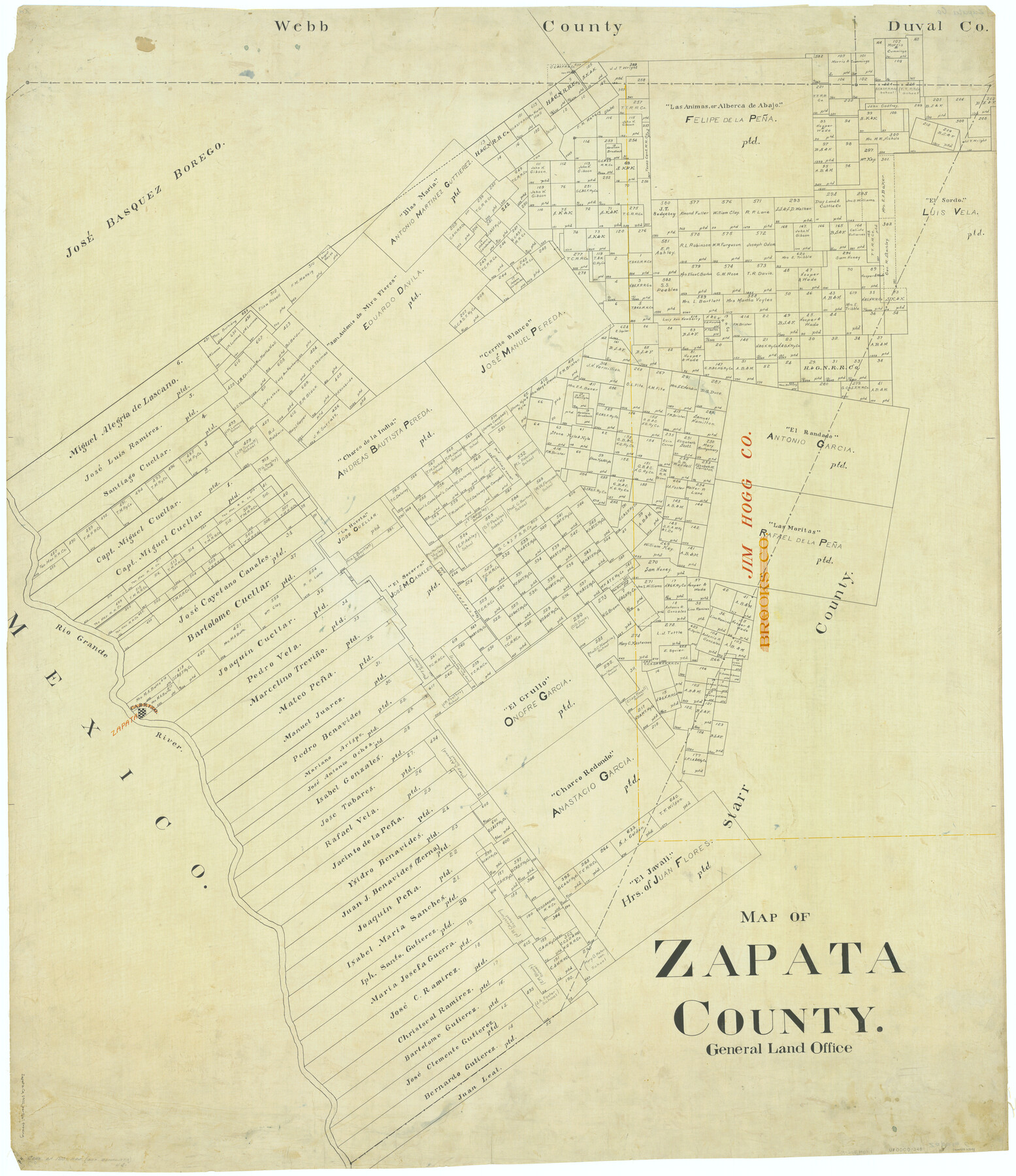
Map of Zapata County
-
Map/Doc
63144
-
Collection
General Map Collection
-
Object Dates
1901 (Creation Date)
-
People and Organizations
Texas General Land Office (Publisher)
-
Counties
Zapata
-
Subjects
County
-
Height x Width
49.1 x 42.4 inches
124.7 x 107.7 cm
-
Comments
Not complete.
Part of: General Map Collection
Intracoastal Waterway in Texas - Corpus Christi to Point Isabel including Arroyo Colorado to Mo. Pac. R.R. Bridge Near Harlingen

Print $20.00
- Digital $50.00
Intracoastal Waterway in Texas - Corpus Christi to Point Isabel including Arroyo Colorado to Mo. Pac. R.R. Bridge Near Harlingen
1934
Size 22.0 x 32.7 inches
Map/Doc 61880
Ochiltree County Boundary File 3

Print $10.00
- Digital $50.00
Ochiltree County Boundary File 3
Size 11.2 x 8.6 inches
Map/Doc 57677
Galveston County NRC Article 33.136 Sketch 89

Print $22.00
Galveston County NRC Article 33.136 Sketch 89
2019
Size 24.1 x 35.5 inches
Map/Doc 95722
Van Zandt County Sketch File 14

Print $4.00
- Digital $50.00
Van Zandt County Sketch File 14
1858
Size 7.9 x 8.1 inches
Map/Doc 39404
King County Sketch File 4

Print $22.00
- Digital $50.00
King County Sketch File 4
Size 8.8 x 14.2 inches
Map/Doc 29022
Zapata County Working Sketch 2

Print $20.00
- Digital $50.00
Zapata County Working Sketch 2
1930
Size 26.0 x 20.3 inches
Map/Doc 62053
Culberson County Rolled Sketch 39

Print $20.00
- Digital $50.00
Culberson County Rolled Sketch 39
Size 20.5 x 28.7 inches
Map/Doc 78465
Hunt County Sketch File 16a

Print $4.00
- Digital $50.00
Hunt County Sketch File 16a
Size 4.6 x 8.1 inches
Map/Doc 27109
Hays County Sketch File 27

Print $6.00
- Digital $50.00
Hays County Sketch File 27
Size 11.2 x 8.8 inches
Map/Doc 26252
Cooke County Working Sketch 39

Print $20.00
- Digital $50.00
Cooke County Working Sketch 39
2009
Size 30.5 x 36.5 inches
Map/Doc 89042
Jim Hogg Co. [and] Brooks Co.
![4756, Jim Hogg Co. [and] Brooks Co., General Map Collection](https://historictexasmaps.com/wmedia_w700/maps/4756-1.tif.jpg)
Print $20.00
- Digital $50.00
Jim Hogg Co. [and] Brooks Co.
1913
Size 31.8 x 41.8 inches
Map/Doc 4756
Sulphur River, Ringo Crossing Sheet

Print $20.00
- Digital $50.00
Sulphur River, Ringo Crossing Sheet
1933
Size 30.5 x 35.9 inches
Map/Doc 65162
You may also like
Grayson County Working Sketch 4

Print $20.00
- Digital $50.00
Grayson County Working Sketch 4
1939
Size 27.6 x 41.0 inches
Map/Doc 63243
Flight Mission No. DAG-21K, Frame 94, Matagorda County

Print $20.00
- Digital $50.00
Flight Mission No. DAG-21K, Frame 94, Matagorda County
1952
Size 18.6 x 22.3 inches
Map/Doc 86423
Map of the Recognised Line M. EL. P. & P. R. R. from East Line of Bexar Land District to El Paso

Print $20.00
- Digital $50.00
Map of the Recognised Line M. EL. P. & P. R. R. from East Line of Bexar Land District to El Paso
1857
Size 7.5 x 41.8 inches
Map/Doc 2218
Pecos County Sketch File 78

Print $6.00
- Digital $50.00
Pecos County Sketch File 78
1943
Size 11.1 x 8.8 inches
Map/Doc 33911
San Patricio County Sketch File 24

Print $10.00
San Patricio County Sketch File 24
1918
Size 10.0 x 4.3 inches
Map/Doc 36078
Bailey County Sketch File 1

Print $40.00
- Digital $50.00
Bailey County Sketch File 1
1882
Size 15.8 x 15.3 inches
Map/Doc 10880
Webb County Rolled Sketch 32

Print $20.00
- Digital $50.00
Webb County Rolled Sketch 32
1937
Size 24.9 x 21.8 inches
Map/Doc 8188
Flight Mission No. DQO-7K, Frame 105, Galveston County

Print $20.00
- Digital $50.00
Flight Mission No. DQO-7K, Frame 105, Galveston County
1952
Size 18.4 x 21.8 inches
Map/Doc 85120
[Sketch of Survey 9, Block Z3]
![93091, [Sketch of Survey 9, Block Z3], Twichell Survey Records](https://historictexasmaps.com/wmedia_w700/maps/93091-1.tif.jpg)
Print $2.00
- Digital $50.00
[Sketch of Survey 9, Block Z3]
Size 7.0 x 6.9 inches
Map/Doc 93091
Hartley County Sketch File 4

Print $6.00
- Digital $50.00
Hartley County Sketch File 4
1883
Size 10.6 x 8.1 inches
Map/Doc 26087
Motley County Sketch File DD (S)

Print $22.00
- Digital $50.00
Motley County Sketch File DD (S)
Size 10.9 x 7.1 inches
Map/Doc 32159
Duval County Sketch File 84

Print $6.00
- Digital $50.00
Duval County Sketch File 84
1945
Size 14.4 x 8.9 inches
Map/Doc 21531