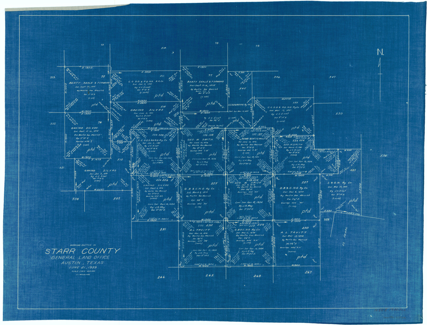
Starr County Working Sketch 8
-
Map/Doc
63924
-
Collection
General Map Collection
-
Object Dates
6/21/1939 (Creation Date)
-
People and Organizations
J.L. Woodland (Draftsman)
-
Counties
Starr
-
Subjects
Surveying Working Sketch
-
Height x Width
21.9 x 28.8 inches
55.6 x 73.2 cm
-
Scale
1" = 600 varas
Part of: General Map Collection
Amistad International Reservoir on Rio Grande 70

Print $20.00
- Digital $50.00
Amistad International Reservoir on Rio Grande 70
1949
Size 28.4 x 39.7 inches
Map/Doc 73356
Flight Mission No. BRE-2P, Frame 70, Nueces County

Print $20.00
- Digital $50.00
Flight Mission No. BRE-2P, Frame 70, Nueces County
1956
Size 18.5 x 22.6 inches
Map/Doc 86765
Harris County Sketch File 3

Print $4.00
- Digital $50.00
Harris County Sketch File 3
Size 7.0 x 6.2 inches
Map/Doc 25334
Nueces County Rolled Sketch 79A

Print $20.00
- Digital $50.00
Nueces County Rolled Sketch 79A
1966
Size 17.7 x 25.7 inches
Map/Doc 9628
Starr County Working Sketch 6

Print $20.00
- Digital $50.00
Starr County Working Sketch 6
Size 24.3 x 16.2 inches
Map/Doc 63922
Jeff Davis County Working Sketch 27

Print $20.00
- Digital $50.00
Jeff Davis County Working Sketch 27
1960
Size 18.1 x 24.3 inches
Map/Doc 66522
Upton County Rolled Sketch 21

Print $20.00
- Digital $50.00
Upton County Rolled Sketch 21
1939
Size 21.5 x 37.9 inches
Map/Doc 8072
San Augustine County Sketch File 3

Print $10.00
San Augustine County Sketch File 3
1858
Size 11.8 x 8.1 inches
Map/Doc 35635
Floyd County Boundary File 1

Print $30.00
- Digital $50.00
Floyd County Boundary File 1
Size 8.9 x 4.2 inches
Map/Doc 53445
Flight Mission No. DIX-8P, Frame 72, Aransas County

Print $20.00
- Digital $50.00
Flight Mission No. DIX-8P, Frame 72, Aransas County
1956
Size 18.7 x 22.4 inches
Map/Doc 83903
Schleicher County Sketch File 30

Print $4.00
- Digital $50.00
Schleicher County Sketch File 30
1940
Size 11.3 x 8.8 inches
Map/Doc 36528
Montgomery County Rolled Sketch 26A

Print $20.00
- Digital $50.00
Montgomery County Rolled Sketch 26A
1941
Size 26.9 x 36.8 inches
Map/Doc 6808
You may also like
Yoakum County Rolled Sketch 3(2)

Print $40.00
- Digital $50.00
Yoakum County Rolled Sketch 3(2)
1959
Size 12.4 x 104.3 inches
Map/Doc 76041
Jefferson County Rolled Sketch 61F

Print $20.00
- Digital $50.00
Jefferson County Rolled Sketch 61F
1928
Size 27.2 x 40.2 inches
Map/Doc 6415
Natural provinces : [Texas].
![93576, Natural provinces : [Texas]., Library of Congress](https://historictexasmaps.com/wmedia_w700/maps/93576.tif.jpg)
Print $20.00
Natural provinces : [Texas].
1899
Size 14.2 x 15.4 inches
Map/Doc 93576
Floyd County Working Sketch 11

Print $20.00
- Digital $50.00
Floyd County Working Sketch 11
1998
Size 23.0 x 34.1 inches
Map/Doc 69190
Cameron County Sketch File 15

Print $26.00
- Digital $50.00
Cameron County Sketch File 15
1999
Size 11.2 x 8.7 inches
Map/Doc 17320
Webb County Sketch File 8c

Print $4.00
- Digital $50.00
Webb County Sketch File 8c
1877
Size 12.7 x 8.2 inches
Map/Doc 39759
Eastland County Sketch File 19

Print $2.00
- Digital $50.00
Eastland County Sketch File 19
1983
Size 14.3 x 9.0 inches
Map/Doc 21608
Dickens County Rolled Sketch 12

Print $20.00
- Digital $50.00
Dickens County Rolled Sketch 12
1959
Size 33.5 x 39.7 inches
Map/Doc 8790
Leon County Working Sketch 59

Print $20.00
- Digital $50.00
Leon County Working Sketch 59
1998
Size 19.2 x 25.5 inches
Map/Doc 70459
Harris County Sketch File 63

Print $21.00
- Digital $50.00
Harris County Sketch File 63
Size 4.3 x 6.4 inches
Map/Doc 25493
Hardin County Rolled Sketch 13

Print $20.00
- Digital $50.00
Hardin County Rolled Sketch 13
1950
Size 29.8 x 27.4 inches
Map/Doc 9188
Bien & Sterner's New Rail Road Map of the United States and the Canadas compiled from the latest surveys & locations under the direction of Zerah Colburn Esq., editor of the Rail Road Advocate

Print $20.00
- Digital $50.00
Bien & Sterner's New Rail Road Map of the United States and the Canadas compiled from the latest surveys & locations under the direction of Zerah Colburn Esq., editor of the Rail Road Advocate
1855
Size 27.5 x 32.3 inches
Map/Doc 95963