[Galveston, Harrisburg & San Antonio through El Paso County]
Z-2-2
-
Map/Doc
64001
-
Collection
General Map Collection
-
Object Dates
1907/2/26 (Creation Date)
-
Counties
El Paso
-
Subjects
Railroads
-
Height x Width
13.6 x 33.7 inches
34.5 x 85.6 cm
-
Comments
See counter nos. 64002 through 64015 for other sections of the map.
Part of: General Map Collection
Knox County Sketch File 20

Print $20.00
- Digital $50.00
Knox County Sketch File 20
1917
Size 26.2 x 17.6 inches
Map/Doc 11962
Sutton County Sketch File 6


Print $8.00
- Digital $50.00
Sutton County Sketch File 6
1897
Size 14.0 x 9.0 inches
Map/Doc 37358
Robertson Co.


Print $20.00
- Digital $50.00
Robertson Co.
1945
Size 46.3 x 37.2 inches
Map/Doc 77409
Val Verde County Working Sketch 81

Print $20.00
- Digital $50.00
Val Verde County Working Sketch 81
1973
Size 24.6 x 41.7 inches
Map/Doc 72216
Armstrong County Working Sketch 6


Print $20.00
- Digital $50.00
Armstrong County Working Sketch 6
1929
Size 24.3 x 19.4 inches
Map/Doc 67237
Travis County Rolled Sketch 25A


Print $20.00
- Digital $50.00
Travis County Rolled Sketch 25A
1942
Size 21.7 x 29.1 inches
Map/Doc 8027
Cottle County Sketch File 11


Print $40.00
- Digital $50.00
Cottle County Sketch File 11
Size 12.9 x 13.3 inches
Map/Doc 19489
Calhoun County Sketch File 7

Print $12.00
- Digital $50.00
Calhoun County Sketch File 7
1947
Size 14.5 x 8.9 inches
Map/Doc 35925
Reeves County Working Sketch 37

Print $40.00
- Digital $50.00
Reeves County Working Sketch 37
1971
Size 57.7 x 36.7 inches
Map/Doc 63480
Dimmit County Boundary File 2

Print $4.00
- Digital $50.00
Dimmit County Boundary File 2
Size 10.0 x 7.9 inches
Map/Doc 52564
Crockett County Rolled Sketch 7

Print $20.00
- Digital $50.00
Crockett County Rolled Sketch 7
Size 18.7 x 14.6 inches
Map/Doc 5580
Presidio County Rolled Sketch 116

Print $20.00
- Digital $50.00
Presidio County Rolled Sketch 116
1981
Size 30.9 x 25.0 inches
Map/Doc 9795
You may also like
Knox County Sketch File 10

Print $20.00
- Digital $50.00
Knox County Sketch File 10
1889
Size 20.1 x 12.8 inches
Map/Doc 11958
Flight Mission No. DIX-10P, Frame 61, Aransas County
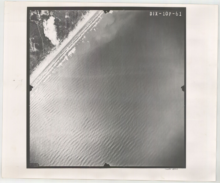

Print $20.00
- Digital $50.00
Flight Mission No. DIX-10P, Frame 61, Aransas County
1956
Size 18.7 x 22.5 inches
Map/Doc 83922
The Rand-McNally New Commercial Atlas Map of Texas
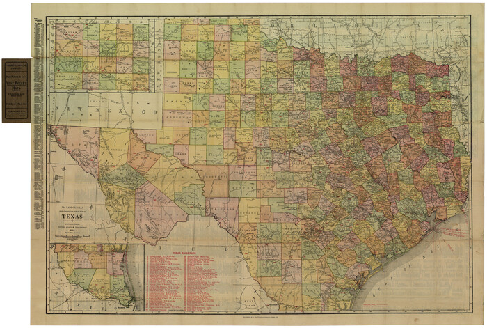

Print $20.00
The Rand-McNally New Commercial Atlas Map of Texas
1914
Size 28.6 x 42.4 inches
Map/Doc 78225
Presidio County Rolled Sketch 76


Print $20.00
- Digital $50.00
Presidio County Rolled Sketch 76
Size 24.3 x 36.4 inches
Map/Doc 9777
Crosby County Sketch File 24


Print $4.00
- Digital $50.00
Crosby County Sketch File 24
Size 7.3 x 8.8 inches
Map/Doc 20091
Zapata County
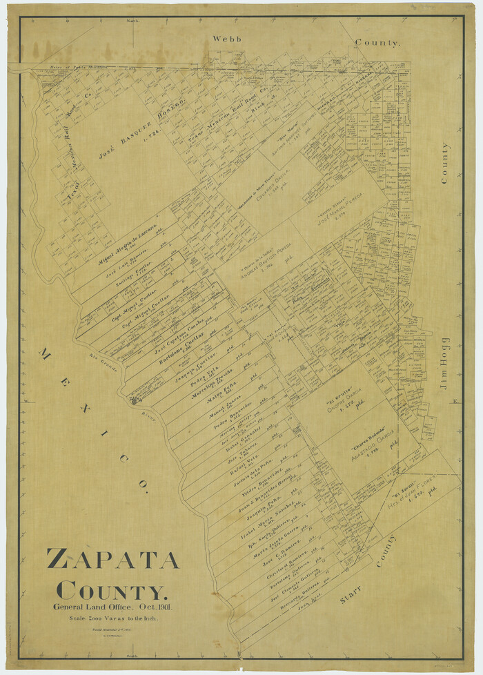

Print $40.00
- Digital $50.00
Zapata County
1901
Size 53.1 x 38.0 inches
Map/Doc 63143
Madison County Working Sketch 1
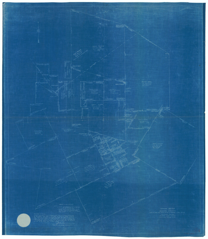

Print $20.00
- Digital $50.00
Madison County Working Sketch 1
1913
Size 42.4 x 36.9 inches
Map/Doc 70763
Current Miscellaneous File 48


Print $32.00
- Digital $50.00
Current Miscellaneous File 48
Size 11.2 x 8.7 inches
Map/Doc 73996
Louisiana and Texas Intracoastal Waterway, Section 7, Galveston Bay to Brazos River and Section 8, Brazos River to Matagorda Bay
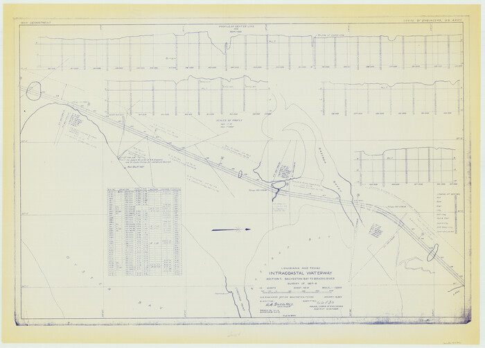

Print $20.00
- Digital $50.00
Louisiana and Texas Intracoastal Waterway, Section 7, Galveston Bay to Brazos River and Section 8, Brazos River to Matagorda Bay
1929
Size 30.8 x 43.0 inches
Map/Doc 61842
Hall County Sketch File 9
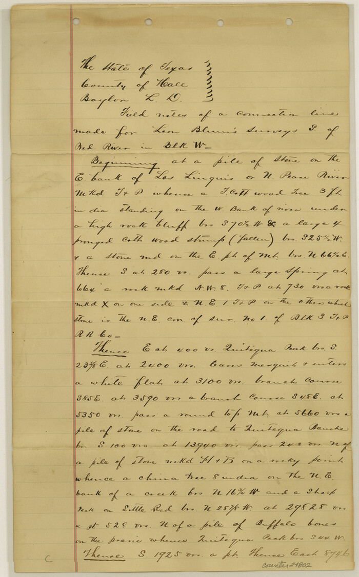

Print $12.00
- Digital $50.00
Hall County Sketch File 9
Size 14.3 x 8.9 inches
Map/Doc 24802
San Jacinto County Rolled Sketch 14
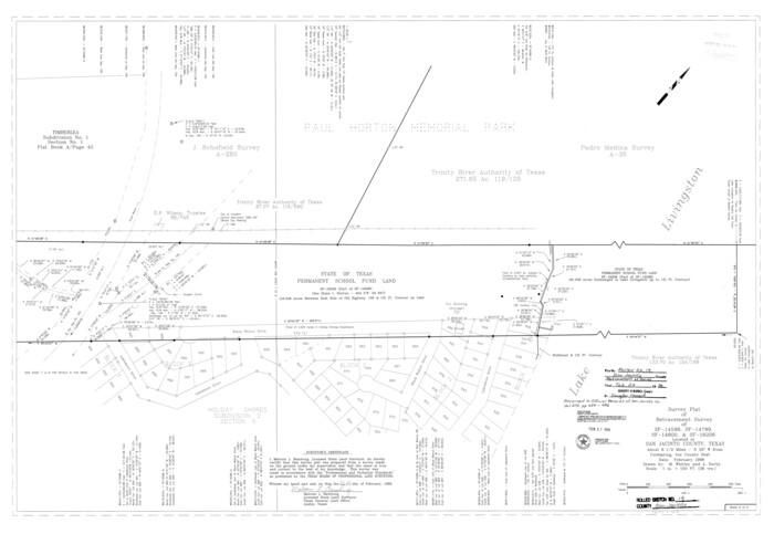

Print $20.00
- Digital $50.00
San Jacinto County Rolled Sketch 14
1998
Size 25.7 x 37.2 inches
Map/Doc 7570
Randall County Rolled Sketch 4
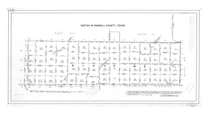

Print $20.00
- Digital $50.00
Randall County Rolled Sketch 4
1944
Size 21.7 x 39.7 inches
Map/Doc 7424
![64001, [Galveston, Harrisburg & San Antonio through El Paso County], General Map Collection](https://historictexasmaps.com/wmedia_w1800h1800/maps/64001.tif.jpg)