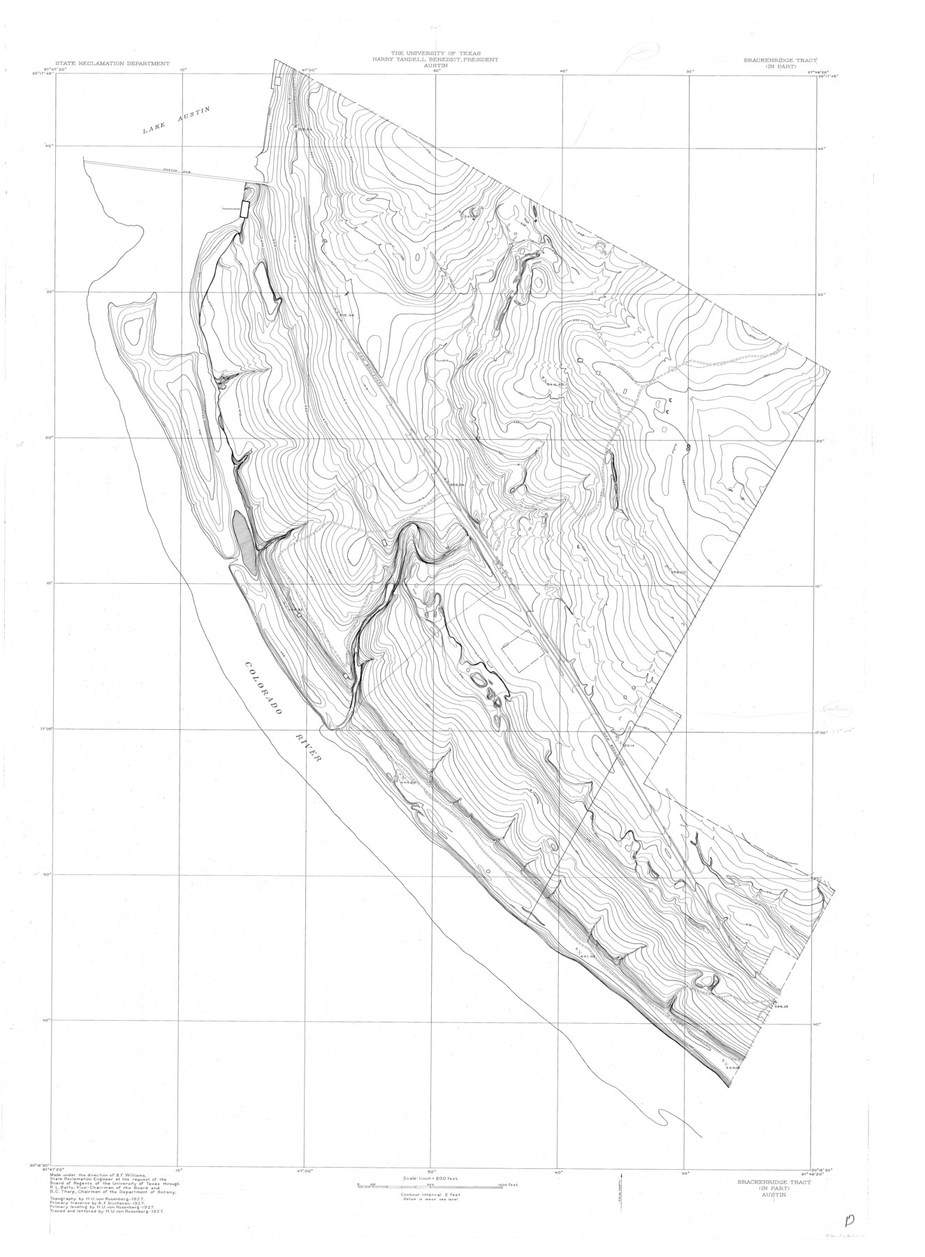
Colorado River, Brackenridge Tract
-
Map/Doc
65325
-
Collection
General Map Collection
-
Object Dates
1927 (Creation Date)
-
People and Organizations
Texas State Reclamation Department (Publisher)
H.U. von Rosenberg (Compiler)
H.U. von Rosenberg (Draftsman)
A.F. Buchanan (Surveyor/Engineer)
H.U. von Rosenberg (Surveyor/Engineer)
-
Counties
Travis
-
Subjects
City River Surveys Topographic
-
Height x Width
43.6 x 32.1 inches
110.7 x 81.5 cm
Part of: General Map Collection
Atascosa County

Print $20.00
- Digital $50.00
Atascosa County
1948
Size 47.6 x 44.9 inches
Map/Doc 77204
Reagan County Working Sketch 22

Print $20.00
- Digital $50.00
Reagan County Working Sketch 22
1955
Size 24.2 x 24.4 inches
Map/Doc 71864
Wise County Working Sketch 24

Print $40.00
- Digital $50.00
Wise County Working Sketch 24
1983
Size 37.1 x 58.2 inches
Map/Doc 72638
Wheeler County Working Sketch 18

Print $20.00
- Digital $50.00
Wheeler County Working Sketch 18
1985
Size 38.0 x 41.8 inches
Map/Doc 72507
Jackson County Sketch File 25

Print $20.00
- Digital $50.00
Jackson County Sketch File 25
1942
Size 15.4 x 37.4 inches
Map/Doc 11845
Hardeman County Working Sketch 14

Print $20.00
- Digital $50.00
Hardeman County Working Sketch 14
Size 30.8 x 42.2 inches
Map/Doc 63395
Bailey County Working Sketch Graphic Index

Print $20.00
- Digital $50.00
Bailey County Working Sketch Graphic Index
1956
Size 47.7 x 30.5 inches
Map/Doc 76460
Pecos County Working Sketch 16

Print $20.00
- Digital $50.00
Pecos County Working Sketch 16
1915
Size 23.6 x 17.0 inches
Map/Doc 71486
Presidio County Sketch File T

Print $10.00
- Digital $50.00
Presidio County Sketch File T
Size 13.1 x 8.8 inches
Map/Doc 34539
Liberty County Rolled Sketch JP1

Print $40.00
- Digital $50.00
Liberty County Rolled Sketch JP1
1935
Size 41.9 x 60.8 inches
Map/Doc 9567
Jack County Working Sketch 12

Print $20.00
- Digital $50.00
Jack County Working Sketch 12
1959
Size 18.0 x 22.4 inches
Map/Doc 66438
Uvalde County

Print $20.00
- Digital $50.00
Uvalde County
1915
Size 42.9 x 46.2 inches
Map/Doc 63091
You may also like
Shackelford County Rolled Sketch 4

Print $20.00
- Digital $50.00
Shackelford County Rolled Sketch 4
Size 38.8 x 47.7 inches
Map/Doc 9916
[Oil and Gas Fields in West Texas]
![89884, [Oil and Gas Fields in West Texas], Twichell Survey Records](https://historictexasmaps.com/wmedia_w700/maps/89884-1.tif.jpg)
Print $40.00
- Digital $50.00
[Oil and Gas Fields in West Texas]
Size 38.5 x 59.2 inches
Map/Doc 89884
Huntsville State Park

Print $20.00
- Digital $50.00
Huntsville State Park
1937
Size 24.1 x 34.8 inches
Map/Doc 2077
Brewster County Working Sketch 4

Print $20.00
- Digital $50.00
Brewster County Working Sketch 4
1908
Size 15.7 x 20.5 inches
Map/Doc 67537
Ride the Texas Mountain Trail [Recto]
![94164, Ride the Texas Mountain Trail [Recto], General Map Collection](https://historictexasmaps.com/wmedia_w700/maps/94164.tif.jpg)
Ride the Texas Mountain Trail [Recto]
1968
Size 18.4 x 24.3 inches
Map/Doc 94164
General Highway Map, Kimble County, Texas

Print $20.00
General Highway Map, Kimble County, Texas
1940
Size 24.8 x 18.3 inches
Map/Doc 79160
United States Population Distribution by County and Territory, per the U.S. Census of 1880

United States Population Distribution by County and Territory, per the U.S. Census of 1880
2024
Size 8.5 x 11.0 inches
Map/Doc 97284
Flight Mission No. BRA-16M, Frame 138, Jefferson County

Print $20.00
- Digital $50.00
Flight Mission No. BRA-16M, Frame 138, Jefferson County
1953
Size 18.7 x 22.3 inches
Map/Doc 85744
[Surveys along the boundary between Jasper and Jefferson Counties]
![99, [Surveys along the boundary between Jasper and Jefferson Counties], General Map Collection](https://historictexasmaps.com/wmedia_w700/maps/99.tif.jpg)
Print $3.00
- Digital $50.00
[Surveys along the boundary between Jasper and Jefferson Counties]
1841
Size 9.3 x 16.9 inches
Map/Doc 99
Crosby County Sketch File 13 and 14

Print $44.00
- Digital $50.00
Crosby County Sketch File 13 and 14
1904
Size 9.0 x 8.6 inches
Map/Doc 20058

Anderson County Working Sketch 13

Print $20.00
- Digital $50.00
Anderson County Working Sketch 13
1930
Size 34.0 x 21.9 inches
Map/Doc 67013