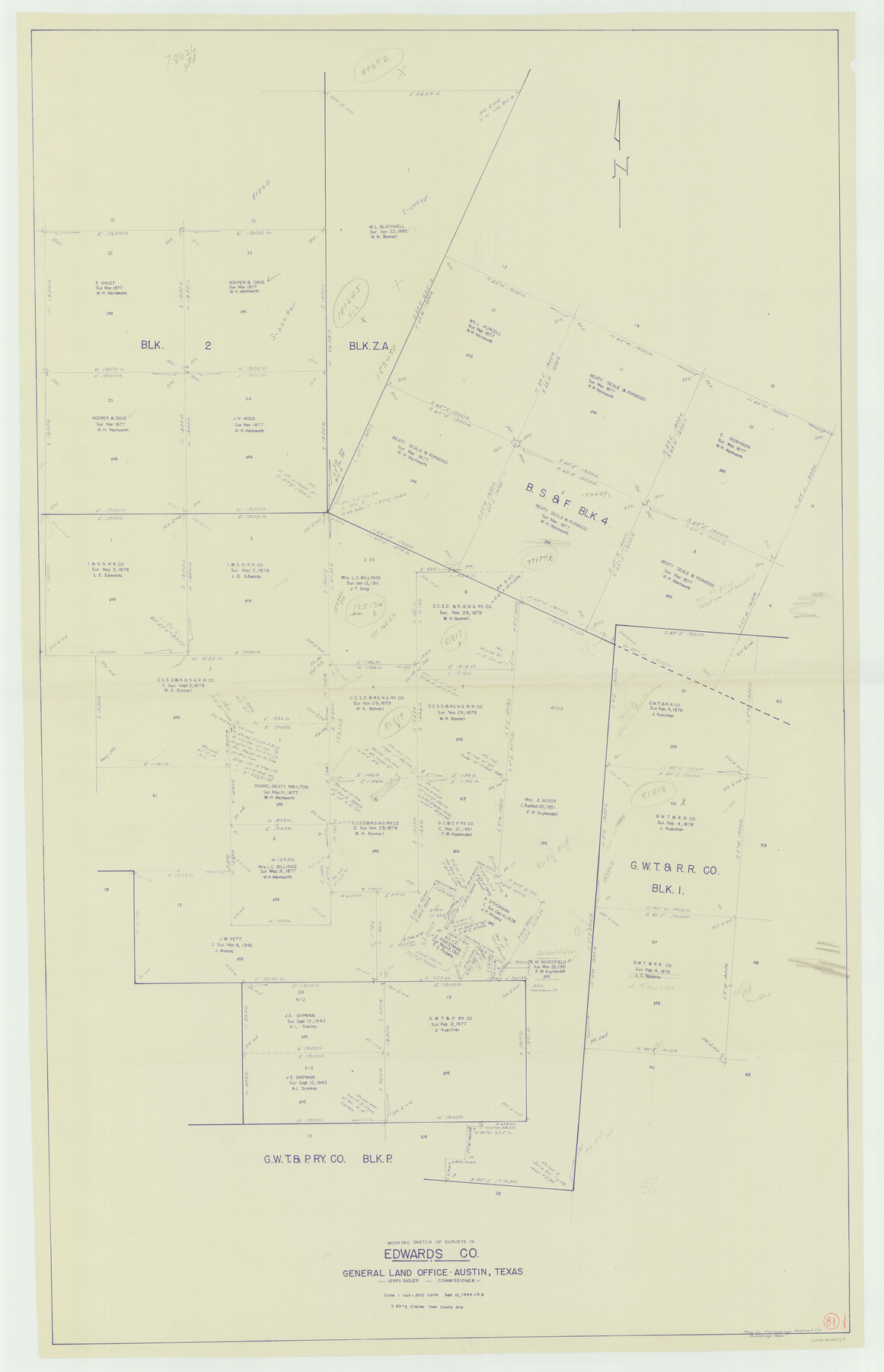
Edwards County Working Sketch 81
-
Map/Doc
68957
-
Collection
General Map Collection
-
Object Dates
9/10/1964 (Creation Date)
-
Counties
Edwards
-
Subjects
Surveying Working Sketch
-
Height x Width
61.4 x 39.6 inches
156.0 x 100.6 cm
-
Scale
1" = 300 varas
Part of: General Map Collection
Flight Mission No. DQO-13T, Frame 48, Galveston County

Print $20.00
- Digital $50.00
Flight Mission No. DQO-13T, Frame 48, Galveston County
1958
Size 18.5 x 18.2 inches
Map/Doc 85212
Anderson County Working Sketch 36

Print $20.00
- Digital $50.00
Anderson County Working Sketch 36
1984
Size 36.3 x 45.6 inches
Map/Doc 67036
Burnet County Sketch File 25

Print $4.00
- Digital $50.00
Burnet County Sketch File 25
1873
Size 8.1 x 8.6 inches
Map/Doc 16725
Knox County Sketch File 20

Print $20.00
- Digital $50.00
Knox County Sketch File 20
1917
Size 26.2 x 17.6 inches
Map/Doc 11962
Burnet County Boundary File 3

Print $18.00
- Digital $50.00
Burnet County Boundary File 3
Size 12.8 x 8.2 inches
Map/Doc 50863
Gillespie County

Print $20.00
- Digital $50.00
Gillespie County
1877
Size 20.1 x 24.5 inches
Map/Doc 3583
The Coast & Bays of Western Texas, St. Joseph's and Mustang Islands from actual survey, the remainder from county maps, etc.

Print $20.00
- Digital $50.00
The Coast & Bays of Western Texas, St. Joseph's and Mustang Islands from actual survey, the remainder from county maps, etc.
1857
Size 27.9 x 18.3 inches
Map/Doc 72766
Flight Mission No. DIX-6P, Frame 128, Aransas County

Print $20.00
- Digital $50.00
Flight Mission No. DIX-6P, Frame 128, Aransas County
1956
Size 19.2 x 22.6 inches
Map/Doc 83834
Map of Upton County

Print $20.00
- Digital $50.00
Map of Upton County
1889
Size 23.4 x 21.4 inches
Map/Doc 4104
Smith County Working Sketch 8

Print $20.00
- Digital $50.00
Smith County Working Sketch 8
1941
Size 28.9 x 22.7 inches
Map/Doc 63893
Marion County Working Sketch 41

Print $40.00
- Digital $50.00
Marion County Working Sketch 41
1996
Size 34.0 x 48.5 inches
Map/Doc 70817
Harris County Working Sketch 43

Print $20.00
- Digital $50.00
Harris County Working Sketch 43
1940
Size 26.8 x 22.1 inches
Map/Doc 65935
You may also like
Nueces County NRC Article 33.136 Sketch 3

Print $68.00
- Digital $50.00
Nueces County NRC Article 33.136 Sketch 3
2002
Size 24.7 x 36.5 inches
Map/Doc 87922

Flight Mission No. CUG-2P, Frame 30, Kleberg County

Print $20.00
- Digital $50.00
Flight Mission No. CUG-2P, Frame 30, Kleberg County
1956
Size 18.5 x 22.4 inches
Map/Doc 86195
Duval County Sketch File 67

Print $16.00
- Digital $50.00
Duval County Sketch File 67
1949
Size 14.2 x 8.8 inches
Map/Doc 21448
Maps of Gulf Intracoastal Waterway, Texas - Sabine River to the Rio Grande and connecting waterways including ship channels

Print $20.00
- Digital $50.00
Maps of Gulf Intracoastal Waterway, Texas - Sabine River to the Rio Grande and connecting waterways including ship channels
1966
Size 14.3 x 20.7 inches
Map/Doc 61998
Hidalgo County Working Sketch 2

Print $20.00
- Digital $50.00
Hidalgo County Working Sketch 2
1906
Size 22.0 x 28.0 inches
Map/Doc 66179
Montgomery County Working Sketch 76

Print $20.00
- Digital $50.00
Montgomery County Working Sketch 76
Size 16.5 x 18.3 inches
Map/Doc 78191
Pecos County Sketch File 49b

Print $6.00
- Digital $50.00
Pecos County Sketch File 49b
1920
Size 16.9 x 11.8 inches
Map/Doc 33766
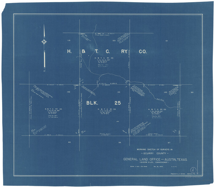
Scurry County Working Sketch 4
Print $20.00
- Digital $50.00
Scurry County Working Sketch 4
1944
Size 23.1 x 26.5 inches
Map/Doc 63833
Padre Island National Seashore, Texas - Dependent Resurvey

Print $4.00
- Digital $50.00
Padre Island National Seashore, Texas - Dependent Resurvey
2001
Size 18.3 x 24.4 inches
Map/Doc 60545
Cameron County NRC Article 33.136 Sketch 4

Print $94.00
- Digital $50.00
Cameron County NRC Article 33.136 Sketch 4
2007
Size 22.3 x 34.0 inches
Map/Doc 88721
Parker County Sketch File 23

Print $20.00
- Digital $50.00
Parker County Sketch File 23
1876
Size 18.8 x 22.8 inches
Map/Doc 12145