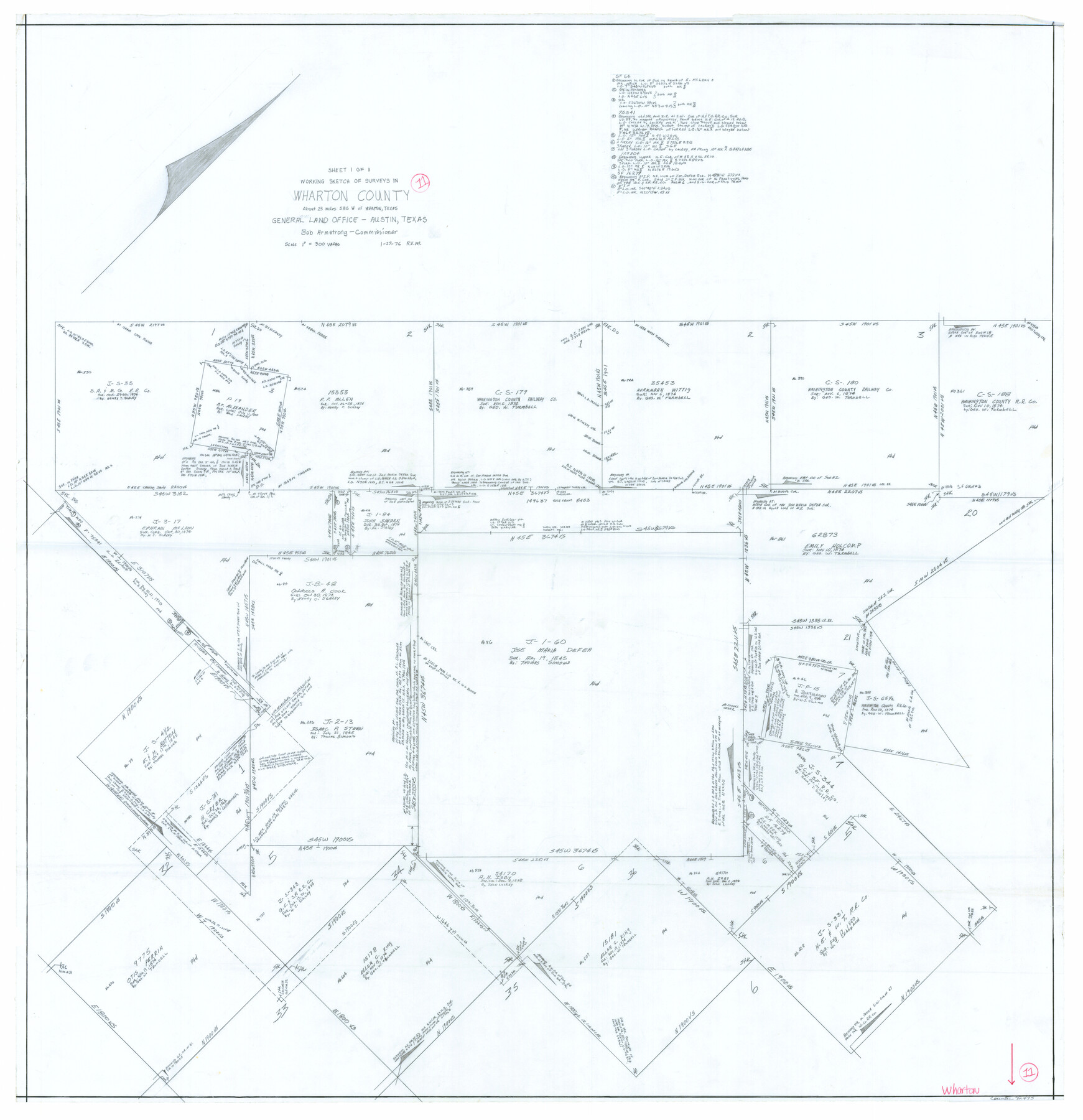
Wharton County Working Sketch 11
-
Map/Doc
72475
-
Collection
General Map Collection
-
Object Dates
1/27/1976 (Creation Date)
-
People and Organizations
Rosendo V. Molina (Draftsman)
-
Counties
Wharton
-
Subjects
Surveying Working Sketch
-
Height x Width
42.2 x 40.8 inches
107.2 x 103.6 cm
-
Scale
1" = 300 varas
Part of: General Map Collection
Winkler County Working Sketch 11

Print $40.00
- Digital $50.00
Winkler County Working Sketch 11
1960
Size 28.5 x 81.4 inches
Map/Doc 72605
Garza County Sketch File H

Print $20.00
- Digital $50.00
Garza County Sketch File H
Size 43.1 x 38.7 inches
Map/Doc 10472
Flight Mission No. DAG-17K, Frame 134, Matagorda County

Print $20.00
- Digital $50.00
Flight Mission No. DAG-17K, Frame 134, Matagorda County
1952
Size 18.5 x 22.3 inches
Map/Doc 86351
Swisher County Sketch File 5

Print $8.00
- Digital $50.00
Swisher County Sketch File 5
1876
Size 14.3 x 8.8 inches
Map/Doc 37618
Hale County Sketch File 6

Print $20.00
- Digital $50.00
Hale County Sketch File 6
Size 41.9 x 35.5 inches
Map/Doc 10468
Mitchell County Rolled Sketch 2B

Print $20.00
- Digital $50.00
Mitchell County Rolled Sketch 2B
Size 26.9 x 18.6 inches
Map/Doc 6784
Upton County Rolled Sketch 49-CF

Print $20.00
- Digital $50.00
Upton County Rolled Sketch 49-CF
1926
Size 44.9 x 32.4 inches
Map/Doc 76143
Flight Mission No. CRC-3R, Frame 26, Chambers County

Print $20.00
- Digital $50.00
Flight Mission No. CRC-3R, Frame 26, Chambers County
1956
Size 18.7 x 22.3 inches
Map/Doc 84800
Bexar County Sketch File 61

Print $61.00
- Digital $50.00
Bexar County Sketch File 61
2019
Size 11.0 x 8.5 inches
Map/Doc 95709
Mills County Working Sketch 28

Print $40.00
- Digital $50.00
Mills County Working Sketch 28
2006
Size 42.0 x 67.4 inches
Map/Doc 85385
Fannin County Sketch File 12

Print $4.00
- Digital $50.00
Fannin County Sketch File 12
Size 8.4 x 6.5 inches
Map/Doc 22460
Flight Mission No. DAG-24K, Frame 42, Matagorda County

Print $20.00
- Digital $50.00
Flight Mission No. DAG-24K, Frame 42, Matagorda County
1953
Size 18.5 x 22.3 inches
Map/Doc 86529
You may also like
Hemphill County Rolled Sketch 6

Print $20.00
- Digital $50.00
Hemphill County Rolled Sketch 6
Size 22.2 x 24.7 inches
Map/Doc 6188
Menard County Sketch File 21

Print $40.00
- Digital $50.00
Menard County Sketch File 21
1913
Size 14.1 x 14.8 inches
Map/Doc 31551
Texas, Matagorda Bay, Vicinity of Trespalacios Bay

Print $40.00
- Digital $50.00
Texas, Matagorda Bay, Vicinity of Trespalacios Bay
1933
Size 49.0 x 32.6 inches
Map/Doc 69988
Dickens County Sketch File GW2

Print $8.00
- Digital $50.00
Dickens County Sketch File GW2
Size 14.4 x 9.0 inches
Map/Doc 20938

Flight Mission No. DIX-10P, Frame 177, Aransas County

Print $20.00
- Digital $50.00
Flight Mission No. DIX-10P, Frame 177, Aransas County
1956
Size 18.6 x 22.3 inches
Map/Doc 83967
East Part of Liberty Co.

Print $20.00
- Digital $50.00
East Part of Liberty Co.
1977
Size 46.1 x 35.9 inches
Map/Doc 73219
Dimmit County Boundary File 7

Print $14.00
- Digital $50.00
Dimmit County Boundary File 7
Size 12.8 x 8.4 inches
Map/Doc 52590
Flight Mission No. DQO-8K, Frame 16, Galveston County

Print $20.00
- Digital $50.00
Flight Mission No. DQO-8K, Frame 16, Galveston County
1952
Size 18.8 x 22.4 inches
Map/Doc 85139
Flight Mission No. DQO-1K, Frame 148, Galveston County

Print $20.00
- Digital $50.00
Flight Mission No. DQO-1K, Frame 148, Galveston County
1952
Size 18.8 x 22.5 inches
Map/Doc 85001
Lamar County Working Sketch 10

Print $20.00
- Digital $50.00
Lamar County Working Sketch 10
1980
Size 18.6 x 15.4 inches
Map/Doc 70271
Plan of Calhoun

Print $20.00
- Digital $50.00
Plan of Calhoun
1839
Size 18.6 x 22.7 inches
Map/Doc 176