Gaines County Sketch File 24
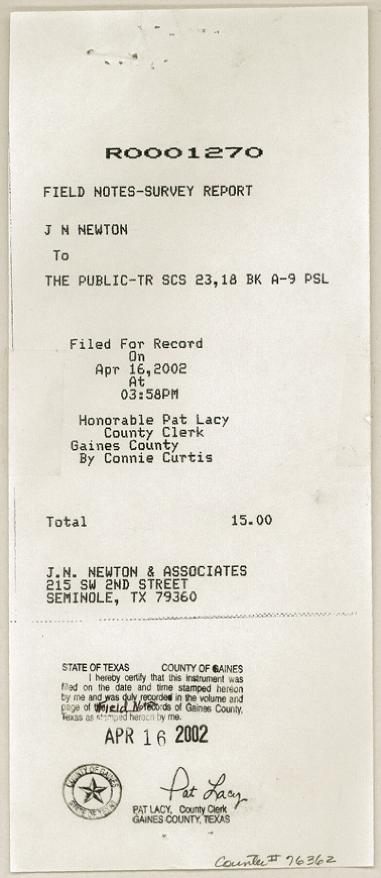
[Survey report on north half of section 18 and east half and northwest quarter of section 23, Block A9, PSL]
-
Map/Doc
76362
-
Collection
General Map Collection
-
Object Dates
1995/11/8 (Creation Date)
2002/4/30 (File Date)
1900 (Survey Date)
-
People and Organizations
J.N. Newton (Surveyor/Engineer)
Dan Boone (Surveyor/Engineer)
A.L. Harris (Surveyor/Engineer)
Sylvan Sanders (Surveyor/Engineer)
C.A. Tubbs (Surveyor/Engineer)
-
Counties
Gaines
-
Subjects
Surveying Sketch File
-
Height x Width
8.7 x 3.8 inches
22.1 x 9.7 cm
-
Medium
paper, print
-
Comments
See Gaines County Rolled Sketch 33 (76413) for sketch.
-
Features
Highway 62
Highway 180
Related maps
Gaines County Rolled Sketch 33

Print $20.00
- Digital $50.00
Gaines County Rolled Sketch 33
1995
Size 17.4 x 18.2 inches
Map/Doc 76413
Part of: General Map Collection
Cooke County Boundary File 2

Print $19.00
- Digital $50.00
Cooke County Boundary File 2
Size 12.1 x 7.6 inches
Map/Doc 51840
Zavala County Rolled Sketch 26

Print $20.00
- Digital $50.00
Zavala County Rolled Sketch 26
1952
Size 25.3 x 41.8 inches
Map/Doc 8328
Throckmorton County Working Sketch 3

Print $20.00
- Digital $50.00
Throckmorton County Working Sketch 3
1924
Size 19.8 x 23.8 inches
Map/Doc 62112
Morris County Rolled Sketch 2A

Print $20.00
- Digital $50.00
Morris County Rolled Sketch 2A
Size 24.0 x 18.9 inches
Map/Doc 10244
Zapata County Sketch File 12

Print $20.00
- Digital $50.00
Zapata County Sketch File 12
1918
Size 15.6 x 33.0 inches
Map/Doc 12721
Controlled Mosaic by Jack Amman Photogrammetric Engineers, Inc - Sheet 44

Print $20.00
- Digital $50.00
Controlled Mosaic by Jack Amman Photogrammetric Engineers, Inc - Sheet 44
1954
Size 20.0 x 24.0 inches
Map/Doc 83503
Hudspeth County Rolled Sketch 57

Print $20.00
- Digital $50.00
Hudspeth County Rolled Sketch 57
Size 38.3 x 46.0 inches
Map/Doc 9223
Liberty County Working Sketch 57

Print $40.00
- Digital $50.00
Liberty County Working Sketch 57
1967
Size 52.6 x 40.6 inches
Map/Doc 70517
Crockett County Rolled Sketch 3

Print $20.00
- Digital $50.00
Crockett County Rolled Sketch 3
1886
Size 18.1 x 22.9 inches
Map/Doc 5579
Winkler County Sketch File 1 and 2

Print $64.00
- Digital $50.00
Winkler County Sketch File 1 and 2
1900
Size 8.4 x 9.2 inches
Map/Doc 40431
Runnels County Rolled Sketch 40

Print $20.00
- Digital $50.00
Runnels County Rolled Sketch 40
Size 32.3 x 38.9 inches
Map/Doc 7528
Maps of Gulf Intracoastal Waterway, Texas - Sabine River to the Rio Grande and connecting waterways including ship channels

Print $20.00
- Digital $50.00
Maps of Gulf Intracoastal Waterway, Texas - Sabine River to the Rio Grande and connecting waterways including ship channels
1966
Size 14.6 x 22.3 inches
Map/Doc 61959
You may also like
The Mexican Department of Nacogdoches. On the Eve of Texas Independence, 1836

Print $20.00
The Mexican Department of Nacogdoches. On the Eve of Texas Independence, 1836
2020
Size 18.4 x 21.7 inches
Map/Doc 95974
Hemphill County Working Sketch 10

Print $20.00
- Digital $50.00
Hemphill County Working Sketch 10
1965
Size 23.5 x 35.7 inches
Map/Doc 66105
Haskell County Working Sketch 6

Print $20.00
- Digital $50.00
Haskell County Working Sketch 6
1949
Size 18.9 x 16.4 inches
Map/Doc 66064
Comanche County Rolled Sketch 2

Print $40.00
- Digital $50.00
Comanche County Rolled Sketch 2
1989
Size 36.9 x 48.6 inches
Map/Doc 10299
[Beaumont, Sour Lake and Western Ry. Right of Way and Alignment - Frisco]
![64106, [Beaumont, Sour Lake and Western Ry. Right of Way and Alignment - Frisco], General Map Collection](https://historictexasmaps.com/wmedia_w700/maps/64106.tif.jpg)
Print $20.00
- Digital $50.00
[Beaumont, Sour Lake and Western Ry. Right of Way and Alignment - Frisco]
1910
Size 19.9 x 45.9 inches
Map/Doc 64106
Tom Green County Rolled Sketch 2

Print $20.00
- Digital $50.00
Tom Green County Rolled Sketch 2
Size 17.2 x 26.8 inches
Map/Doc 7992
Archer County Boundary File 6

Print $62.00
- Digital $50.00
Archer County Boundary File 6
Size 22.5 x 6.1 inches
Map/Doc 50113
Floyd County Working Sketch 11

Print $20.00
- Digital $50.00
Floyd County Working Sketch 11
1998
Size 23.0 x 34.1 inches
Map/Doc 69190
Louisiana and Texas Intracoastal Waterway - Matagorda-Espiritu Santo and San Antonio Bays, Section 8-9, Survey of 1927-8 - Index Sheet 3

Print $20.00
- Digital $50.00
Louisiana and Texas Intracoastal Waterway - Matagorda-Espiritu Santo and San Antonio Bays, Section 8-9, Survey of 1927-8 - Index Sheet 3
1929
Size 31.0 x 42.8 inches
Map/Doc 61837
[T. T. RR. Co. Block 8 and vicinity]
![90795, [T. T. RR. Co. Block 8 and vicinity], Twichell Survey Records](https://historictexasmaps.com/wmedia_w700/maps/90795-1.tif.jpg)
Print $20.00
- Digital $50.00
[T. T. RR. Co. Block 8 and vicinity]
Size 20.3 x 15.2 inches
Map/Doc 90795

Flight Mission No. DQO-8K, Frame 39, Galveston County

Print $20.00
- Digital $50.00
Flight Mission No. DQO-8K, Frame 39, Galveston County
1952
Size 18.7 x 22.4 inches
Map/Doc 85146