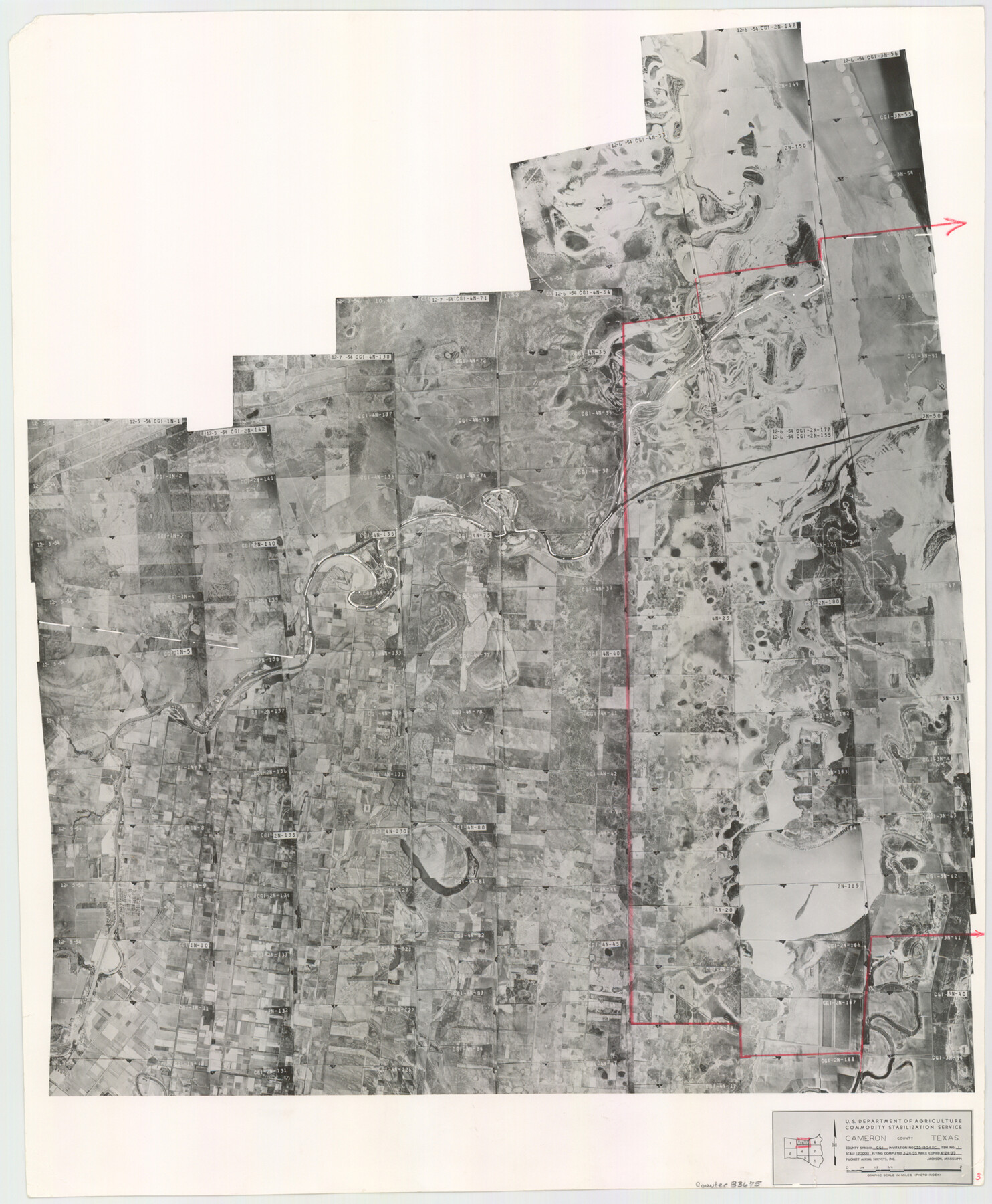
Cameron County Aerial Photograph Index Sheet 3
Cameron County Aerial Photograph Index 3
-
Map/Doc
83675
-
Collection
General Map Collection
-
Object Dates
1955/4/24 (Creation Date)
-
People and Organizations
U. S. Department of Agriculture (Publisher)
-
Counties
Cameron
-
Subjects
Aerial Photograph
-
Height x Width
21.1 x 17.4 inches
53.6 x 44.2 cm
-
Comments
Flying completed March 24, 1955 by Puckett Aerial Surveys, Inc. of Jackson, Mississippi.
Part of: General Map Collection
Aransas County Rolled Sketch 29

Print $20.00
- Digital $50.00
Aransas County Rolled Sketch 29
1961
Size 35.8 x 31.1 inches
Map/Doc 77497
Bosque County

Print $40.00
- Digital $50.00
Bosque County
1945
Size 48.8 x 38.7 inches
Map/Doc 95432
Edwards County Working Sketch 125

Print $20.00
- Digital $50.00
Edwards County Working Sketch 125
1977
Size 22.3 x 23.5 inches
Map/Doc 69001
Bandera County Boundary File 4

Print $18.00
- Digital $50.00
Bandera County Boundary File 4
Size 8.9 x 7.7 inches
Map/Doc 50267
Howard County Sketch File 2a

Print $20.00
- Digital $50.00
Howard County Sketch File 2a
1909
Size 32.8 x 25.6 inches
Map/Doc 11792
[Jack District]
![1993, [Jack District], General Map Collection](https://historictexasmaps.com/wmedia_w700/maps/1993-1.tif.jpg)
Print $40.00
- Digital $50.00
[Jack District]
1878
Size 42.1 x 64.5 inches
Map/Doc 1993
Uvalde County Rolled Sketch 24

Print $20.00
- Digital $50.00
Uvalde County Rolled Sketch 24
2014
Size 16.2 x 16.1 inches
Map/Doc 93722
Flight Mission No. BRA-7M, Frame 37, Jefferson County

Print $20.00
- Digital $50.00
Flight Mission No. BRA-7M, Frame 37, Jefferson County
1953
Size 18.7 x 22.4 inches
Map/Doc 85488
Reagan County

Print $40.00
- Digital $50.00
Reagan County
1940
Size 50.8 x 41.2 inches
Map/Doc 95621
Upton County Working Sketch 1

Print $20.00
- Digital $50.00
Upton County Working Sketch 1
1906
Size 11.6 x 20.0 inches
Map/Doc 69497
Ector County Rolled Sketch 12

Print $38.00
- Digital $50.00
Ector County Rolled Sketch 12
Size 10.1 x 15.4 inches
Map/Doc 44314
Austin including Bergstrom AFB, Hays, Mansfield Dam, McKinney Falls State Park, Oak Hill, Rollingwood, San Leanna, Sunset Valley and West Lake Hills - also portions of Pflugerville

Austin including Bergstrom AFB, Hays, Mansfield Dam, McKinney Falls State Park, Oak Hill, Rollingwood, San Leanna, Sunset Valley and West Lake Hills - also portions of Pflugerville
Size 38.4 x 25.6 inches
Map/Doc 94375
You may also like
[Section 25, H. & G. N. Block 1 showing Duck Creek]
![90936, [Section 25, H. & G. N. Block 1 showing Duck Creek], Twichell Survey Records](https://historictexasmaps.com/wmedia_w700/maps/90936-1.tif.jpg)
Print $20.00
- Digital $50.00
[Section 25, H. & G. N. Block 1 showing Duck Creek]
Size 24.9 x 27.9 inches
Map/Doc 90936
Callahan County Sketch File 2

Print $8.00
- Digital $50.00
Callahan County Sketch File 2
1858
Size 11.8 x 8.7 inches
Map/Doc 35853
Kendall County Working Sketch 16

Print $20.00
- Digital $50.00
Kendall County Working Sketch 16
1967
Size 28.0 x 29.1 inches
Map/Doc 66688
Polk County Working Sketch 23b

Print $40.00
- Digital $50.00
Polk County Working Sketch 23b
1957
Size 28.8 x 54.6 inches
Map/Doc 71639
La Salle County Rolled Sketch 19

Print $20.00
- Digital $50.00
La Salle County Rolled Sketch 19
1953
Size 31.8 x 30.0 inches
Map/Doc 6583
Lampasas County Working Sketch Graphic Index

Print $20.00
- Digital $50.00
Lampasas County Working Sketch Graphic Index
1972
Size 34.6 x 42.0 inches
Map/Doc 76614
Map of the L.I.T. Ranche situated in the Panhandle of Texas the property of the Prairie Cattle Co. L'd

Print $20.00
- Digital $50.00
Map of the L.I.T. Ranche situated in the Panhandle of Texas the property of the Prairie Cattle Co. L'd
1989
Size 21.0 x 12.6 inches
Map/Doc 2483
Jefferson County Rolled Sketch 13

Print $20.00
- Digital $50.00
Jefferson County Rolled Sketch 13
Size 18.8 x 27.2 inches
Map/Doc 6385
Flight Mission No. DQO-8K, Frame 49, Galveston County

Print $20.00
- Digital $50.00
Flight Mission No. DQO-8K, Frame 49, Galveston County
1952
Size 18.7 x 22.3 inches
Map/Doc 85156
Fractional Township No. 8 South Range No. 22 East of the Indian Meridian, Indian Territory

Print $20.00
- Digital $50.00
Fractional Township No. 8 South Range No. 22 East of the Indian Meridian, Indian Territory
1897
Size 19.2 x 24.2 inches
Map/Doc 75239
Flight Mission No. BRA-7M, Frame 8, Jefferson County

Print $20.00
- Digital $50.00
Flight Mission No. BRA-7M, Frame 8, Jefferson County
1953
Size 18.6 x 22.4 inches
Map/Doc 85459
Current Miscellaneous File 64

Print $12.00
- Digital $50.00
Current Miscellaneous File 64
1954
Size 10.8 x 8.5 inches
Map/Doc 74103